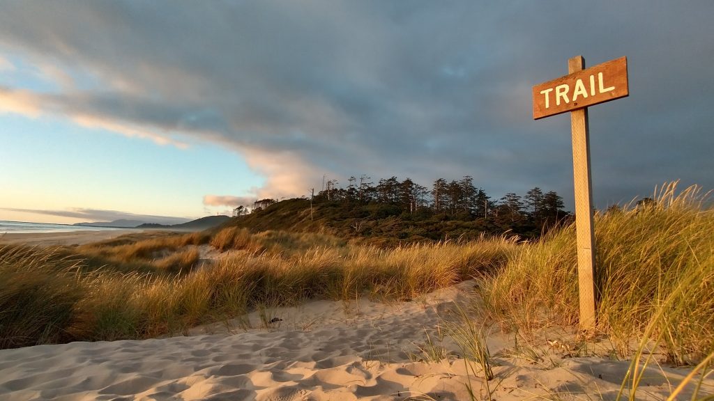
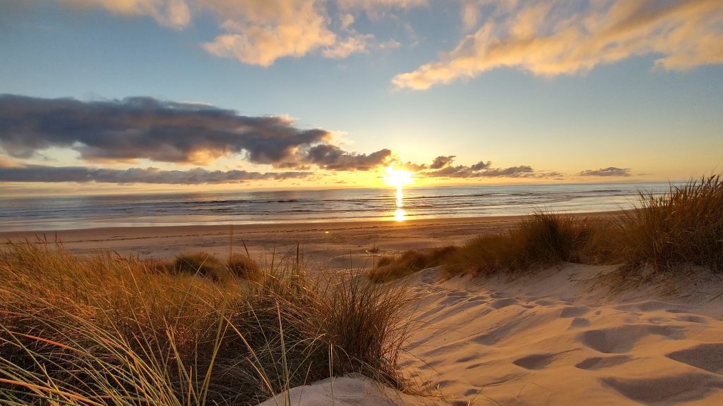
Since the Pacific Coast Bigfoot Crest Rim Trail was my conglomeration of 4 named long distance trails (Oregon Coast Trail, Bigfoot Trail, Pacific Crest Trail, and Tahoe Rim Trail), it was difficult to summarize such a journey in one post. I struggled between breaking the summary into distinct parts to cover each trail, or lumping all the data together. In the end, I did a little bit of both. Several of the trails were pretty intermingled, especially the PCT and BFT. I also followed a spur trail down the California Coast, which I characterized as part of the Oregon Coast Trail, yet it was really just an extension to connect to Crescent City (terminus of the BFT) and see parts of the Redwoods State and National parks. I didn’t maintain a perfectly continuous footpath as a result of some backtracking and such, but I at least felt like I remained pretty true to the spirit of this hike, as I defined it from the beginning. In the end, I did even more miles than I’d planned
Since I adapted each of the trail components to meet my needs, I was at odds in defining which trails I actually completed. I can pretty confidentially say that I hiked the OCT and TRT, while the BFT was more a means to connect all the trails. While I didn’t walk every mile of the OCT (361.5 miles hiked, about 32 miles yellow-blazed), the 80 miles I added to hike to Crescent City and explore the Redwoods areas more than made up for my yellow-blazing. I actually walked quite a bit of the OCT HWY sections (more than I skipped), which I timed pretty well so that they weren’t a big deal. I think most OCT hikers skip some if not all the HWY 101/other road walking, and I feel like I was more committed to walking roads than most. The TRT was straightforward in that I hiked every mile, including a few that I needed to repeat in order to connect from the PCT to Tahoe City. In fact, I repeated the whole stretch that the TRT shares with the PCT (about 50 miles in 2018 when I thru-hiked the PCT).
As for the BFT, this stands as the only long distance trail that I didn’t complete intentionally…and I’m perfectly ok with that. I missed 2 large chunks of the BFT, hiking about 193 miles of the official 350 mile trail (42 miles of which were shared with the PCT). I bypassed the first big chunk of about 40 miles by electing to stay on the PCT until just past Russian Peak, since the trail that first departed the PCT down Wooley Creek was reported to be in terrible condition due to a burn. I’d already struggled with a lot of other terribly burned trail on the BFT, so I was inclined to take the easy way on the PCT, until it met with the BFT route again, further south.
The second large part of the BFT that I skipped (122.5 miles) was due to many factors. Past the Trinity Alps, the route involved about 70 miles of road walking, only to finish with 25 miles through a Wilderness Area in the Yolla Bollys. The route ended at a remote dirt road over 50 miles from the nearest town. All that road walking didn’t make much sense considering the road to trail ratio. It would have also put me in a bind trying to figure out a shuttle or hitch from the terminus. My original plan was to hike as far as Junction City, then take a series of buses to Redding, then figure out where and how to get back on the PCT from there. In departing the route a little earlier at the crossing of the Stuart Fork River, I was able to continue down the Stuart Fork trail to the Trinity Alps Resort and get a series of hitches north along HWY 3 in order to reconnect to the PCT….all in the same day. In this way, I was able to hike most of the Seiad Valley to Mt. Shasta PCT section (missing only 25 miles) and also timed my arrival in Mt Shasta perfectly to attend PCT Trail Days. In hindsight, turning off the BFT when and where I did was perfect timing. The very next day, a series of fires started in Norther California, affecting the Yolla Bollys, Stuart Fork valley of the Trinity Alps, and numerous points along the PCT between Etna and Seiad Valley. I just managed to slide past all these areas except for the Yolla Bollys…so effectively, I couldn’t have finished the BFT even if I’d wanted to, due to the fires.
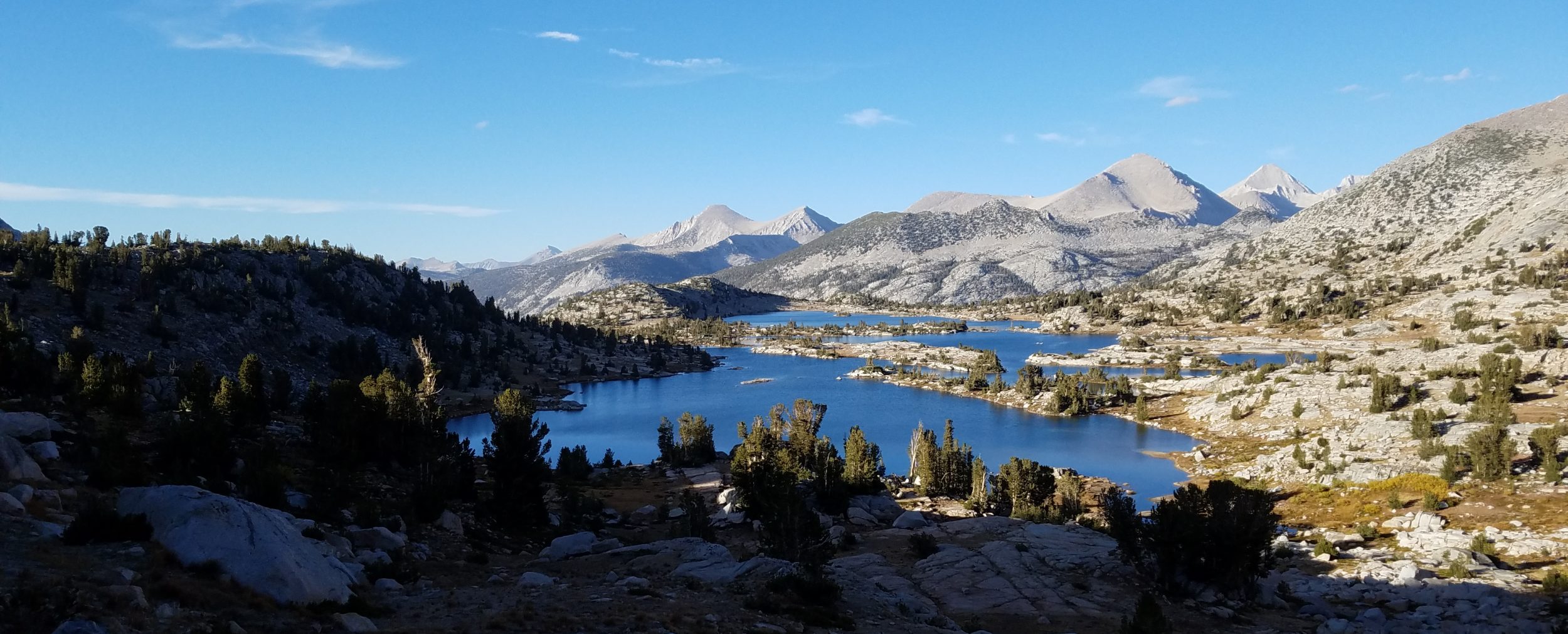
Lastly, I’m proud to say that I hiked nearly the entire Northern California PCT section, plus another 70 miles of the Sierra PCT Section from Echo lake to south of Sonora pass, including 11.5 miles as part of the Pinecrest Loop Trail. The Sierra parts were bonus miles I hadn’t originally planned on doing, but I was very happy I had time to incorporate them at the end. Based on my actual miles per day, I estimated that I hiked 698 PCT miles, which included both shorter and longer alternates, plus side trips to peaks (Grizzly, Dicks, The Nipple, Sonora) and other attractions (Burney Falls). I always hoped to hike the PCT a second time and now I think I will tackle it from the standpoint of 3 long section hikes. I completed the NoCal section as part of this hike, so all I have left are the Sierra/SoCal and WA/OR sections, each about 1000 miles long, TBD in years to come. I’m glad I got NoCal done when I did, because the situation with the fires is only getting worse with every year. It was very disheartening to see so much more of the trail burned, compared to when I hiked the PCT just 5 years before. I can only imagine what it will be like in another 5 years.
Dates: July 5th through September 20th, 2023
Duration Total: 67 days of hiking (not counting zeros/5 days off)
Days on the OCT: 21, plus 5 on the CA Coast Extension
Days on the BFT: 13
Days on the PCT: 20 (not including overlaps with other trails)
Days on the TRT: 9
Total Distance Hiked: 1,425 miles (note that the totals for each trail don’t add up to this figure since there was some overlap)
OCT Distance Hiked: 361.5 miles plus 80 mile extension to Crescent City and Redwoods… 441.5 total
BFT Distance Hiked: 193 miles
PCT Distance Hiked: 689 miles
TRT Distance Hiked: 195.5 miles, including side trips to Twin Peak, Mt Rose & Dick’s Peak, plus repeated miles to begin/end in Tahoe City.
PLT Bonus Distance Hiked: 78 miles
Zeros: 4 single, 1 double, 5 to attend PCT Trail Days. Trail breakdown: 1 OCT, 1 between OCT and BFT, Double in Seiad Valley during BFT/PCT, 5 at the Halfway Point/Trail Days, 1 PCT (Birthday Zero), 1 between PCT and PLT.
Average Daily Distance (w/o zeros): 21 miles
Longest day: 33.5 miles
Shortest day: 5 miles
Days hiking 15 miles or less: 16
Days hiking 15-20 miles: 16
Days hiking 20-25 miles: 11
Days hiking 25-30 miles: 12
Days hiking 30 miles or more: 12
Biggest elevation gain / loss in one day: 8110′ Day 53 on the PCT
Favorite Days: Almost every day on the OCT
Least-Favorite Day: Day 30 on the BFT
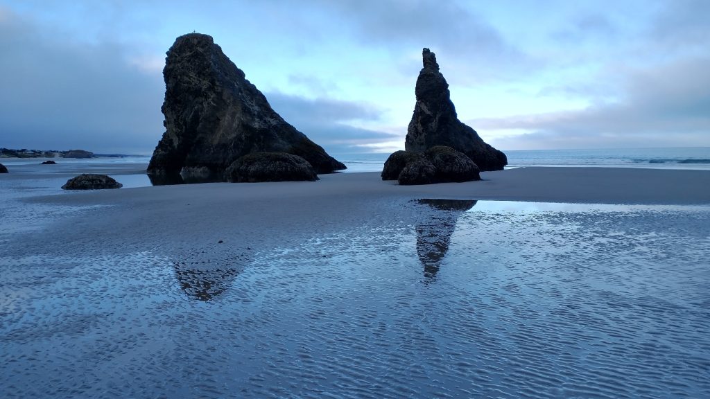
Favorite Sections: Indian Beach to Cannon Beach, Bayocean Spit and Cape Meares, Cape Lookout to Cape Kiwanda, Depoe Bay to Newport, Yachats and Cape Perpetua, Florence to Winchester Bay, Cape Arago and Bandon, Arizona Beach, Boardman Corridor, beach walk to Crescent City, Gold Bluffs Beach to Prairie Creek (Redwoods), Marble Mountains, Packers Peak and Trinity Alps, most of the TRT, and the PLT.
National Parks hiked in/through: Redwood, Lassen, Yosemite
Wilderness Areas: Siskiyou, Red Buttes, Marble Mountain, Russian, Trinity Alps, Mount Shasta, Desolation, Mokelumne, Emigrant.
Highpoint OCT: Neahkahnie Mountain 1,631′
Highpoint BFT: Packers Peak 7,830′
Highpoint TRT: Mt Rose 10,777′ (side trip)
Highpoint of the PCBCRT: Sonora Peak 11,431′ (side trip)
Peak Bagging: Baldy Peak (on trail), Packers Peak (on trail), Grizzly Peak, Twin Peak, Mount Rose, Dicks Peak, the Nipple, Sonora Peak
Time period between when I first and last saw Mt Shasta: Day 32 OR/CA Boundary Trail on the BFT to Day 51 just north of Belden.
Time period between when I first and last saw Lassen Peak: Day 39 BFT Highpoint to Day 60 TRT Highpoint
Nights tenting on or near trail: 55.
Here’s more of a breakdown: 48 free/stealth sites, 2 designated backcountry sites, 2 nights in backcountry cabins on the PCT, 7 campgrounds, 1 night at the Etna City Park, 1 trailhead parking lot #vanlife.
Nights camping alone or with only 1 other: 45
Nights camping with a group of hikers or around other people at a campground: 12
Nights Spent at a Trail Angel’s place: 11 (including days before and after trip)
Nights in town at a hostel/motel: 3/3
Days seeing no other people: 2, both on the BFT
Towns/resupply points visited, in order: All the main towns along the OCT (too many to list), Crescent City, Seiad Valley, Etna, Trinity Center, Mt. Shasta, Burney Falls, Old Station, Chester, Belden, Quincy, Sierra City, Donners Pass, Tahoe City, South Lake Tahoe, Pinecrest
Resupply parcels mailed: 4 (Portland OR–trekking poles/misc, Crescent City—misc, Seiad Valley—5 day food resupply, Mt Shasta–new shoes, Tahoe City–20 degree quilt).
Longest food carry: 5 days from Crescent City to Seiad Valley
Longest I went without a hot shower: 8 days, Chester to Tahoe City and also entirety of Tahoe Rim Trail. I also didn’t bother to do laundry from when I started the TRT to when I got to Pinecrest (11 days) and from Florence to my 2nd pass through Crescent City (14 days). During these times, I got by doing some light sink laundry. I never once went swimming in the ocean along the OCT, though I got wet up to my chest during several water crossings. I went for A LOT of dips in rivers, creeks, and lakes along the BFT and PCT. By the time I made it to the TRT, the weather had cooled and I no longer much felt the need for stream/lake baths.
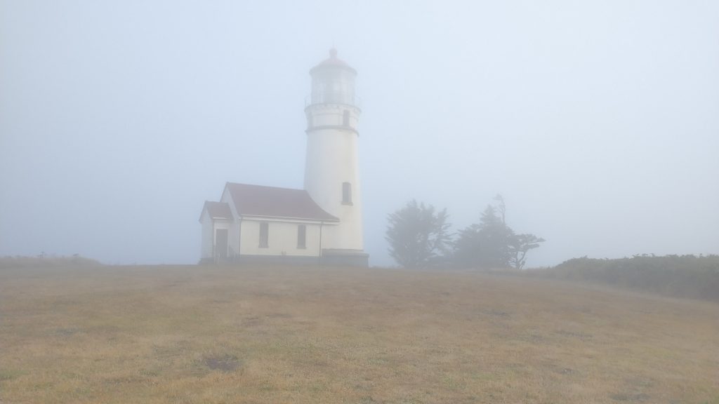
Precipitation on the trail: only heavy fog frequently and one morning of light rain on the OCT; remnants of Hurricane Hillary hit Mt Shasta while I was taking a zero there, followed by light rain for just an hour the next morning; 3 straight days of off and on heavy rain over Labor Day weekend…same system that stranded thousands at Burning Man… I was one of the few that stayed on trail and continued hiking, but got really lucky staying 2 consecutive nights in huts, north and south of Donners pass.
Campfires enjoyed: 1 (Tillamook Head backcountry site…made by other hikers)
Injuries: I gouged my shin on a blowdown on the 3rd day of the BFT. It bled pretty badly and there was a hole and bump there for several weeks. Thankfully this was really the worst that happened to me all summer.
Times I wished I carried a gun or bear spray: 0
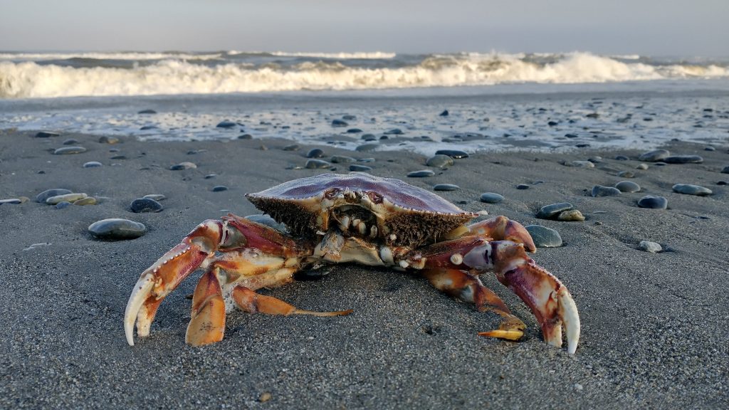
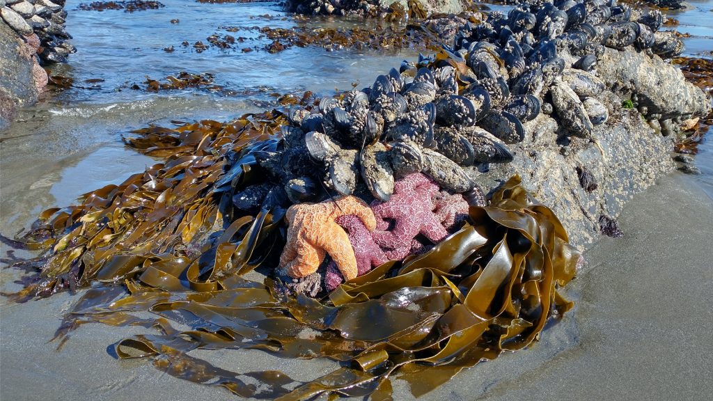
Animals seen or heard: cormorants, pelicans, murres, guillemots, oyster catchers, eagles, ospreys, blue herons, snowy plovers, other plovers, Long-billed curlews, ruddy turnstones, gulls, whales, sea lions, seals, Roosevelt elk, black-tailed deer, 4 black bears, fox, newts, frogs, toads, garter snakes
Pettings: cats, camel, bunny, dogs, horses, mules
Gear: My gear was similar to what I carried on the PNT the year before, see gear list here. This included my frameless and hipbelt-less Waymark pack. I stuck with my lighter summer kit up to the 2nd time I went through Tahoe City. There I switched my 30 degree Palisade quilt for my 22 degree Alsek quilt. Other than that, I kept everything the same.
Shoes: 1 pr Altra Superior 5.0 from OCT start to Mt. Shasta (734 miles), 1 pr Altra Superior 5.0 from Mt Shasta to finish of the Hayduke (900 miles).
Least used items: my PLB (Personal Locator Beacon)…carried the whole way, never used…but that’s a good thing. I also only used my rain skirt a few times…but it only weighs less than 2 ounces. I barely used my umbrella on the PCT in 2018 but I used it a lot on this trip. It was pretty useful to hide from the sun multiple times on the beaches, long road walks, and in burn areas. It saved me from some pretty oppressive 100+ degree heat in August. I also used it extensively for a 3-day rain event on the PCT during Labor Day weekend. It kept me on trail when it seemed like every other hiker around me got off trail. I was VERY glad I carried it.
Gear lost/failures: Fortunately, I didn’t lose anything major on this trip. My clothing took the biggest beating, but it was all stuff I had worn on other hikes and was pretty beat up to begin with. At PCT Trail days, I was able to replace my blue Purple Rain Dress with a new one and also got new socks, shoes, and an Evernew water bladder. This was my Waymark pack’s 3rd long distance trip (previously used on the AT and PNT). The Lycra mesh pocket on the back was already severely deteriorating, so I patched it with some stretchy KT tape, which worked to keep it going for one more trip. The bigger problem was that the shoulder straps were too compressed to comfortably carry a heavier load. With over 5000 miles on the pack by the end of this trip, I decided to put it into semi-retirement (only use it for back-up and short trips). I bought a new Waymark EVLV Utra 38 for Black Friday 2023, which will be used on future summer thru-hikes. My tents, quilts, and other essentials are still holding up fine.
Trail Angels and Trail Magic: First and Foremost, greatest thanks goes to Shelly, Ray and Skybird, who hosted me in Portland and Manzanita, treated me as family, showed me all around Astoria and Manzanita, fed me, treated me to incredible restaurant meals, included me in 4th of July festivities, visited the Tillamook Creamery with me, and took care of my every transportation need in getting to the the start of the trail, and then some…Amazing!
Here’s a run-on list of more Trail Angel feats (not-including hitches/ride offers): John (Sky’s dad) who bought me dinner at the Rogue brewery in Newport OR. Gail, Carol, Judy, and Meryl whose kayak tour I joined on the Smith River (thanks also goes to Guide Carl), which was so much fun…they later bought me lunch in Crescent City and continued to follow my blog and leave positive comments. Vickie, who stuffed $20 in my pocket in Crescent City, despite my protests (my hands were full!). Sarah, who befriended me in Crescent City, holding onto some extra items while I visited the Redwoods, then helped me do laundry and hung out with me in town during my second pass through. She also lent me clothes to wear while mine washed. A couple passing by in a truck on a BFT road walk gave me a sandwich and tea, and also took my trash. Brian in Seiad Valley provided food, drinks and a place to stay for all hikers passing by…I stayed 2 nights it was so wonderful. Dina and her family shared their breakfast with me at their cabin in the Trinity Resort. She also invited me to take a hot shower, which was so nice.
For Trail Days, Mr President (CDT 2019 Alumni) gave me a ride all the way from Mt. Shasta to Cascade Locks (in his Tesla). He also shared his nice hotel room in Ashland with me, a huge treat! I can’t thank him enough for all the Trail Magic he did for me, Flotus, Hornet, Wolverine and Gavin, plus many other PCT hikers. After Trail Days, Karaoke (PNT 2022 Alumni) hosted and fed me for 2 nights, plus shipped a box home for me with all the stuff I collected at Trail Days. It was so great to see her and meet her partner Danny and pup Banjo. Annika and Michael of the Pfauhouse hostel in Chester shared their spare burrito and many drinks with me on my birthday. I got a free peach ice cream cone courtesy of the Toy Store in Quincy (best ice cream on trail!). Sky visited and hiked with me to the top of Dick’s Peak in the Desolation Wilderness. I got to sleep in their cool van at the trailhead! A very kind employee at the hotel in Tahoe City let me take a shower without renting a room (I stayed there days earlier and they also held some of my stuff for the return). Magic Paul (TRT hiker) and his wife Mary gave me a ride all the way from Tahoe City to Carson Pass, which was a huge logistical feat in getting from the TRT to the PCT, so I didn’t have to repeat any miles going south. Rain had a trail Magic cooler at Sonora Pass and gave me a ride down to Pinecrest. There I stayed with 2 amazing Trail Angels, Scott and Sailor, for several days. I met them at PCT Trail Days, which is where I learned of their way-cool hiker cabin. They housed and fed tons of hikers while I was there, plus set me up for a great bonus loop hike, The Pinecrest Loop Trail.
Hitches/Ride-offers: 26, plus 2 hitches on boats across inlets and 1 hitch on an ATV across some dunes.
Hiker Reunions on Trail: Skybird (PCT), Sky (Hayduke), Schroomer (ALDHA-West), Costanza (PNT), Karaoke (PNT), Natty (PCT), Silver Bullet (Hayduke), plus a ton of other people at Trail Days including Mr President (CDT), Plants (PCT), Purple Rain, Beardoh and Sweetpea, Greg in Wild (AT), Cricket (14ers), and Wolverine (PNT). I even ran into an OCT/PCT hiker, Kiwi Tom, a second time while in South Lake Tahoe. I first ran into him near Winchester Bay OR…think of the distances and chances.
OCT-Specific Info: I did a little bit deeper dive into this hike because for one, I enjoyed it so much. And two, it was kind of logistically complicated and quite different from other thru-hikes I’ve done. For me it was like an active beach vacation where I got to be a tourist as much as a hiker. Almost every day was so much fun. But I did it a fair bit differently than most. I went fast, so I would recommend others don’t try to stick to my schedule. I also stealth camped most of the way and largely avoided both hiker biker campgrounds and hotels. I also walked more than 50% of the highway sections, mostly out of efficiency and simplicity. But study the bus routes and schedules…it’s worth catching rides here and there, no need to be a purest if you feel your life is in danger on the roads. Also, if there was one section to miss, I’d say from Winchester Bay to past Coos Bay/Charleston is definitely the stretch to skip ahead…hitch or take a bus and you won’t be missing much. But be sure to check out Cape Arago and continue on from there. I also highly recommend the extension to Crescent City and past to see the Redwoods.
The printed guidebook helped me more than any other resources but there will soon be a Far Out guide, as well. I would still recommend the guidebook though. This hike probably isn’t for everyone but it really filled a niche for me…one of my favorites of all time!
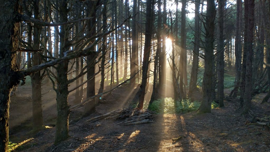
OCT Overnight breakdown: 15 stealth tent sites, 1 official backcountry sight (Tillamook Head), 3 nights at a trail angel’s house, 1 night hostel (Florence), 1 night hotel (end of trip at Crescent City), 3 Hiker Biker site campgrounds in Oregon state parks (Webb Country/Pacific City, South Beach/Newport, Harris Beach/Brookings), and 3 Hiker Biker campgrounds in CA Redwoods area (Flint Ridge, Gold Bluffs, Elk Creek). There were a few times I may have stealth camped in a state park or in/around towns in not-so-legit places, but I was never bothered by/caused bother to anyone. I found free-camping on the OCT to be pretty easy, I just had to get creative at times. My strategies (solo, camo tent, LNT, dusk to dawn, no beaches) worked for me, but are not typical of most backpackers. The lack of camping options is one of the chief complaints about the OCT and is definitely a primary consideration when planning for this hike.
Road walking sections skipped on the OCT: Total 32 miles. Pacific City to Wilema Rd 6 mile bus ride, 7 mile hitch from HWY 101 through Lincoln City (did not intend to hitch so far…miscommunication with driver), Heceta Tunnel plus 3 miles south, North Port Walmart bus stop to Charleston 7 mile bus ride, Harris Beach Park to OR/CA border 8 miles pre-arranged rides to align with kayaking tour.
I tried to go back through my blog to count just how much road and beach walking the OCT entailed, but it’s just too convoluted. There were so many little pieces, weaving to and from beaches, side roads, side paths, headland trails, and connector trails all day, every day. The Bonnie Henderson guidebook had the best breakdown in the mileage listings for each section…I highly recommend getting the book in addition to the Far Out guide (which wasn’t available when I hiked), as it would be nice to have this information in tabular form. Far Out guides don’t break down the details in such a way. Overall, I didn’t find the road walking to be that big of a deal. I got really lucky with tides and boat hitches, so I was able to stay on the beaches quite a bit more than what is probably typical.
Inlets/water crossings: This extensive list is not even complete, but gives the reader an idea of how convoluted the OCT can be in terms of tides and crossings. So much about this hike is tide-dependent. I recommend printing and carrying section maps…highlight all the areas that could be a problem and have a plan/know the tide schedule for them 1-2 days in advance. Any of the smaller river crossings not mentioned here (New River, Sixes, Elk river) I hit at close to low tide and were easy to ford…everything except for the Sixes River. It was the only river I hit at a high tide (+6) and decided to wait until the next day to cross.
Gearhart to Seaside…short walk on city roads and 101 to get past Necanicum Estuary.
Nehalem Bay…$10 easy ferry ride across.
Tillamook Bay…got a free boat hitch from Garibaldi marina to Bayocean Spit (saved 12 miles of road walking). Garibaldi Marina can schedule a ferry for a fee.
Netarts Bay…tried for a boat hitch for an hour at the marina but had to do the 7 mile road walk.
Sand lake…crossed at a 2′ tide, sketchiest crossing I did the whole coast. Water came up chest high.
Nestucca Bay… took bus from Pacific City for 6 miles to Wilema Rd, walked half a mile back to the beach on side rd.
Siletz Bay… walked about 3 miles on 101 to Golf Course nature path, back to the beach, wide shoulder.
Depoe Bay… easy and stress-free walk across bridge.
Yaquina Bay… walk on sidewalk across the bridge, very scenic, a bit harrowing if a lot of traffic and also windy.
Alsea Bay before Waldport… walk the bridge for about a mile, easy.
Heceta Head tunnel…recommend hitching a ride through, as I did.
Siuslaw river… easy walk into Florence and across on bridge.
Winchester Bay/Umpqua river… got really lucky hitching a free ride on a boat. The outfitter is reported to be not very dependable and charges quite a bit considering the short distance.
Coos Bay… walked across on the bridge, took bus through a part of the urban area (Walmart to Charleston). Bandon/Coquille River… Walked bridge across…no shoulder but not too long.
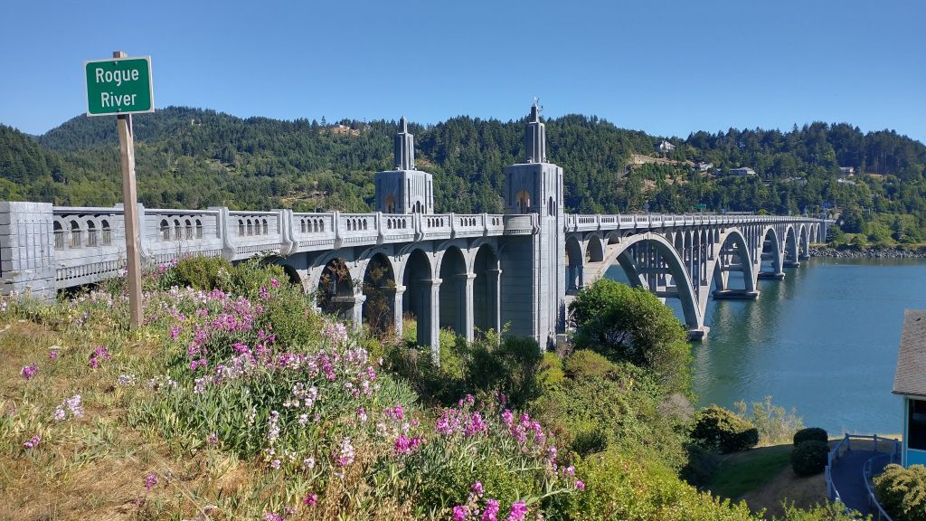
Rogue River near Gold Beach… easy walk across bridge.
Pistol River… easy ford of river even at a +6 tide.
Smith River, border of OR and CA…kayaked across.
Alternates taken: Cape Arago (route description in the guidebook)
Libraries Visited: Seaside, Waldport, Florence, North Bend, Port Orford, Crescent City, plus also Tahoe City, South Lake Tahoe. These places were a day-time refuge for me to hang out in towns and get some work done…I became the master of in-and-out town stops on the OCT.
Food Carries: there were only 4 days that I went without having a meal or snacks from a town. There were about 10 days where I had multiple meals from towns, so it’s not really necessary to carry more than one day of food at any time on the OCT.
Other OCT hikers met/seen: 20
Lastly, this is the only long-distance hike I’ve ever done where I feel the need to stress an appropriate direction: I strongly recommend going SOBO. I know the thought of going NOBO on every hike is deeply entrenched in the mindsets of some, but such repeat-offenders really should check their pride and just enjoy a care-free southbound hike, rolling along like a tumbleweed or beach ball (I was actually passed by a beach ball once, the wind was blowing it so fast). Or don’t listen to me and enjoy the sand-blasting winds in your face nearly every day, whatever, I don’t really care, it’s your choice to be miserable or not. It also makes more sense to go SOBO when it comes to getting a ride from several of the marinas (Garibaldi/Netarts) which sit on the north side of the bays. The only crossing where NOBO’s would have an advantage is Winchester Bay…but even here I was able to get a boat hitch from the undeveloped north side…I did get really lucky, though.
Here is the list of all my posts relating to this hike:
The Pacific Coast Bigfoot Crest Rim Trail Introduction
PCBCRT Day 0: Reconnecting to the Pacific Coast
PCBCRT Day 1: Off After a Bang
PCBCRT Day 2: Variety is the spice of life
PCBCRT Day 3: A Huge Bite of Trail-Beach-Trail Sandwich
PCBCRT Day 4: The Tourist Trail
PCBCRT Days 5 & 6: More Touristing & a Reunion
PCBCRT Day 7: A Date with the Tide & Camels
PCBCRT Day 8: Passing by Quickly
PCBCRT Day 9: A Very Social Day
PCBCRT Day 10: A Quiet Day
PCBCRT Days 11 & 12: Blowing Down the Coast
PCBCRT Day 13: Dunes
PCBCRT Day 14: Tsunami Dreams
PCBCRT Day 15: The not so Gem of the Oregon Coast
PCBCRT Day 16: Cape Arago and Bandon
PCBCRT Day 17: Stopped by the Sixes
PCBCRT Day 18: Agate Hunting
PCBCRT Day 19: Gold Beach
PCBCRT Day 20: Cape Sebastian
PCBCRT Day 21: Samuel Boardman Corridor
PCBCRT Day 22: Into California and Kayaking on the Smith River
PCBCRT Day 23: Crescent City Magic
PCBCRT Day 24: Redwoods National and State Parks
PCBCRT Day 25: Redwoods Redemption Day
PCBCRT Day 26 & 27: Redwoods Wrap-up & Return to Crescent City
PCBCRT Day 28: Bigfoot Trail…Into the Shadow of the Titans
PCBCRT Day 29: Into the Mountains and the Heat
PCBCRT Day 30: Bigfoot on my Back
PCBCRT Day 31: Clear Creek Redemption
PCBCRT Day 32: Along the Border
PCBCRT Day 33: Bigfoot Meets the PCT
PCBCRT Day 34 & 35: Seiad Valley Vortex
PCBCRT Day 36: Running up that Hill
PCBCRT Day 37: Marble Mountains & Unplanned Town Stop
PCBCRT Day 38: The Russian Wilderness
PCBCRT Day 39: Packers Peak Bigfoot Trail Highpoint
PCBCRT Day 40: Trinity Alps
PCBCRT Day 41: Off Script & Much In Motion
PCBCRT Day 42: On Cruise Control
PCBCRT Day 43: When Fires Start to Burn
PCBCRT Halftime Report
PCBCRT Day 44: Out of the Heat
PCBCRT Day 45: Grizzly Peak Bagging
PCBCRT Day 46: Burney Falls
PCBCRT Day 47: The Rim
PCBCRT Days 48 & 49: Lassen and Chester
PCBCRT Day 50: Into the Burn
PCBCRT Day 51: Thru Belden
PCBCRT Day 52: Super Blue Moon
PCBCRT Day 53: Always a Hard Day
PCBCRT Day 54: September Storms
PCBCRT Day 55: The Delicate Dance Between Wet and Dry
PCBCRT Day 56: Hut to Ski Lodge to Hut
PCBCRT Day 57: Starting the TRT
PCBCRT Day 58: Tahoe City
PCBCRT Day 59: The 2nd Start of the TRT
PCBCRT Day 60: Mount Rose
PCBCRT Day 61: Crushing on Crushed Granite
PCBCRT Day 62: South Lake Tahoe in and out
PCBCRT Day 63: Around Freel
PCBCRT Day 64: Half Day
PCBCRT Day 65: Dicks Peak
PCBCRT Day 66: The Homestretch
PCBCRT Day 67: I Just Can’t Get Enough
PCBCRT Day 68: Wolves or Huskies?
PCBCRT Day 69: Sonora Peak
PCBCRT Bonus Hike: The Pinecrest Loop Trail
PCBCRT Summary and Stats