Twig Adventures

GDT Day 11: Tornado and Beehive

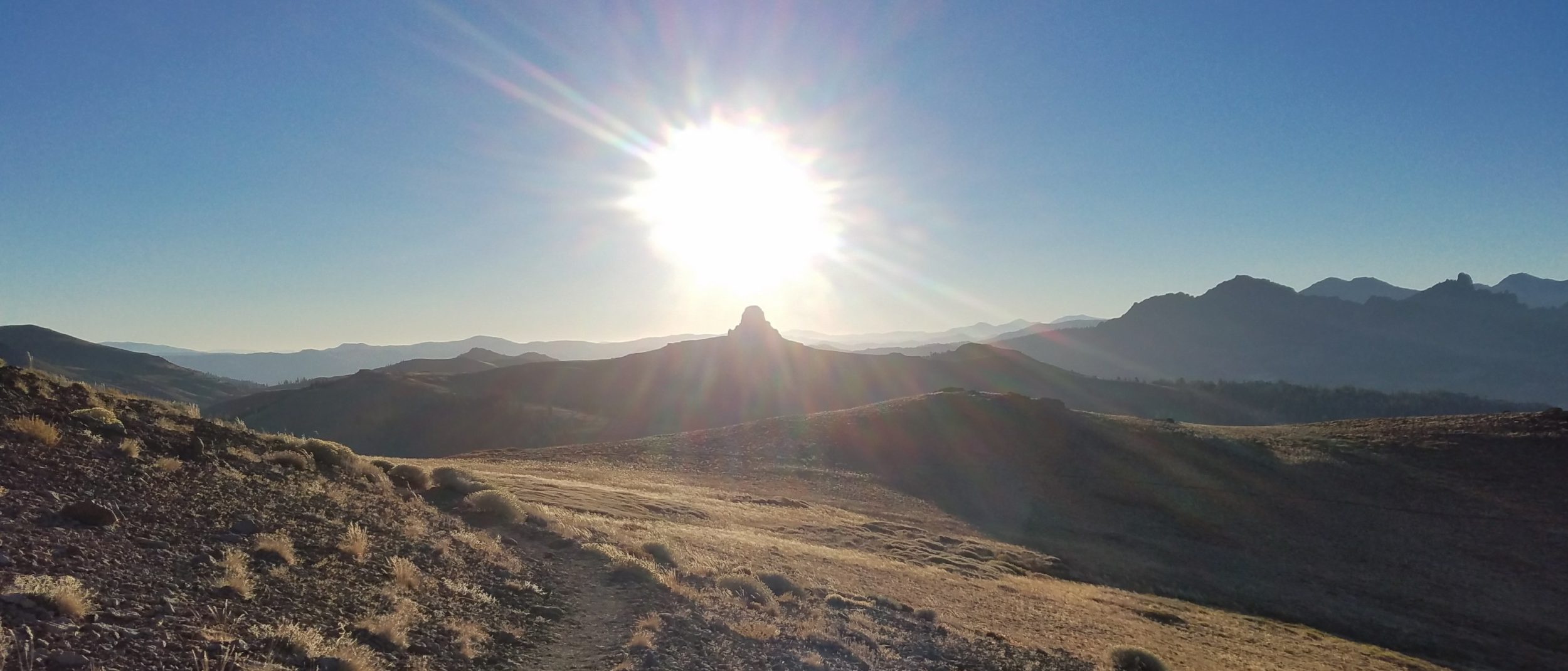
Saturday, July 13th, 2024, 0610-1850Dutch Creek camp to Beehive Creek, mm 147.417 miles, Gain: 4970′, Loss: 4540′, elevation 7010′ My tent was still wet in the morning but not too bad. I was again the 3rd to leave camp but caught up to the early risers by Tornado Saddle. First I had to follow the rough ATV to Tornado pass, which confusingly wasn’t the pass because we still had to go up over 1k’ to the Saddle. It seemed the 2 names had been mistakenly switched. Then the trail backtracked almost a mile along the mountain shoulder. Back down in the valley, I could almost see our camp again. The trail traversed rather than gaining elevation more steadily, then abruptly[…]

Read more

GDT Day 10: Into the Deep

Friday, July 12th, 2024, 0610-1730Window Mountain Lake Camp to Dutch Creek Camp, mm 130.724 miles, Gain: 5220′, Loss: 5170′, elevation 6585′ Alex set off at 5 am, just as he said he would. He was really averse to hiking in the heat and had vowed for very early starts…it made sense. His early start at least got me moving. It still took me an hour to do my routine. By then, the Strawbridges were long gone too. I marveled at how Georgie got moving so early each day…what 17 year old is so motivated? I never once heard her complaining about it either. She was an inspiration for us all. The trail had the profile of a stegosaurus back this[…]

Read more

GDT Day 9: Section B

Section B – 195km / 121mi, Alternates: Coral Pass – This section begins in Crowsnest Pass near the quaint towns of Coleman and Blairmore, proceeding north to Peter Lougheed Provincial Park in Kananaskis, Alberta. This is one of the longer stretches in between resupply points. Except for a small portion in the north, random camping is allowed throughout. 2022 marked the grand opening of the High Rock Trail, the new official route of the GDT. As such, this part of the trail is in excellent condition. The High Rock Trail follows the east side of the mountains, running parallel to a popular ATV road. Vehicles and active forestry operations may be encountered in some parts. The route goes over Tornado[…]

Read more

GDT Days 7 & 8: Coleman

Tuesday, July 9th, 2024, 0700-0800York creek bridge to Coleman, mm 923 miles, Gain: 170′, Loss: 570′, elevation 4800′ It was hard to get up after a late night and 2 long days beforehand but the call of town breakfast lured us. The last 3 miles on the road flew by, especially with the mosquitos chasing us. We need not have rushed because about the only breakfast joint in town didn’t open until 9 am. We plopped down outside and I went in search of a toilet. The town reminded me of an old mining town in Colorado, with a classic western main street. Georgie and Vince joined us for breakfast. They made it all the way into town the night[…]

Read more

GDT Day 6: Easier Cruising

Monday, July 8th, 2024, 0700-2200Barnaby Lake to York Creek Bridge, mm 88.328 miles, Gain: 3500′, Loss: 5000′, elevation 4800′ I could barely get up in the morning, having a pretty massive hiker hangover. Alex and I agreed to depart by 7 am since we had a lot of ground to cover. We dragged ourselves out of bed and got in auto mode down the hill. We dropped 1700′ in 2 miles and stumbled out onto the highway. We saw some people, the first non GDT hikers in days. We walked another mile on the road and came across Strider, eating breakfast. He was sitting next to a sign written in rocks with an arrow pointing towards the woods: Burger ⬆️. […]

Read more

GDT Day 5: The Barnaby Ridge Alternate

Sunday, July 7th, 2024, 0530-2030Scarpe Pass to Barnaby Lake, mm 12.5 of the alt, off mm 61.5 of main 16.5 miles, Gain: 7,000′, Loss: 7500′, elevation 6300′ I usually have a day during every hike that I say was my hardest day of hiking yet. It’s often some combination of bushwhacking, route finding, distance, elevation, and weather conditions that prompt me to make such a statement. Later I tend to backtrack, conceding a hard day but only one among many. Once the pain and fatigue subsides, things don’t seem as hard. Having a few days to rest and look back on this day, I still think it was my hardest day of hiking but also the most fun and rewarding.[…]

Read more

GDT Day 4: Scarpe Pass

Saturday, July 6th, 2024, 0700-1800Lone Lake to Scarpe Pass, mm 43.114.3 miles, Gain: 3400′, Loss: 3340′, elevation 6740′ I slept well initially but then a salt-hungry habituated deer started pestering me all night. I’d hear the soft clopping of her hooves approaching and I’d clap my hands or beat on my tent walls and she would satisfyingly scamper away, only to return again for a repeat. I hung my extra pole in a tree and left nothing out to chew on, but I still didn’t want her rustling around next to me. This was the game we played for hours, thus my sleep was quite interrupted. I swear, bears get such a bad rap when they are rarely the cause[…]

Read more

GDT Day 3: Lone Lake…the Ursine Tinder Meetup

Friday, July 5th, 2024, 0630-1430Akamina campground to Lone Lake, mm 28.814.2 miles, Gain: 4314′, Loss: 3660′, elevation 6670′ I woke early to the 5 am light and a floppy wet tent. The color of my new Zpacks tent (burnt orange) amplified the light, making it feel like an operating room. It was good cheery light for hanging out inside the tent but not great for trying to sleep when it was light out. As for the shape, some of my stakes had pulled loose in the wind but there was something else I was doing wrong. Finally I realized that the peak wasn’t high enough. I had to use a pole extender with this new tent but had still set[…]

Read more

GDT Day 2: Into Waterton National Park

Thursday, July 4th, 2024, 1130-1800Waterton to Akamina campground, off mm 1613 miles, Gain: 4154′, Loss: 2560′, elevation 5800′ I woke to a soggy tent on the outside but dry on the inside, save for the typical condensation. I slept the best I had in 4 nights, but still woke with a migraine. I was locked into a pattern with the rebound effect that would probably last a few days more. I couldn’t get back to sleep so I got up to walk the town. Vince and Georgie had already packed and were gone, but I didn’t feel in a rush since the total distance for the day was only 13 miles…only. I got coffee and a bagel at a shop,[…]

Read more

GDT Day 1: Tagging the Border

Wednesday, July 3rd, 2024, 1530-2030Waterton to US/CA border, then back to Waterton town campground, mm 4.29 miles (technically only 4 that count), Gain: 1470′, Loss: 1470′, elevation 4325′ I did a lot of prep work on this blog before I began the hike, and I thought it would be nice to provide a synopsis of each section. The maps and descriptions are borrowed from the GDTA website, giving readers a sneak preview of what’s to come. I added these details to the corresponding posts at the start of each section. Here is the first synopsis, followed by the events of Day 1: Section A – 145km / 90mi, Alternates: Mt Rowe-Sage Pass, Barnaby Ridge -The GDT’s southern terminus is also[…]

Read more