Thursday, Aug 31st, 2023, 0630-1940
Middle Fork Feather River to ridge NE of Spencer Lakes
32.4 miles, Gain 8110′, Loss 3760′, elevation 7340′
I remembered almost nothing about the trail from this day, 5 years ago, except that it was pretty hard. The figure of 8,000 feet came to me, as I recalled this as my biggest day of elevation gain to this point. I pretty much repeated the day this time around, with the same starting point and a similar distance hiked. I usually had very good recall of my campsites, but had no inkling of where I ended up that day. I must have been struggling a lot not to remember.
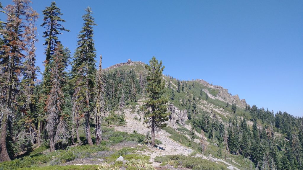
There was a big climb out of the Middle Fork Feather River valley, but it wasn’t too bad early in the morning. Then we seemed to be climbing until well after lunch. I hiked with Out Here most of the day, so the time actually passed pretty quickly. We took an early lunch at a spring to break up the climbing. We also contemplated scrambling up to the lookout on top Pilot Peak, well, mostly I did. Out Here was trying to get to Sierra City by 2 pm Friday for a conference call, so couldn’t really afford side trips. I decided against it too, since there seemed to be some intense bushwhacking spots.
The trail was fairly busy, as we passed a few NOBOs, then caught up to 5 SOBOs. We seemed to have walked back into a bubble of hikers, spanning the gap created by the hurricane rain event. One of the SOBOS was Legacy, who I first met at Old Station. I chatted with her later in the day, as she had done quite a few hikes. I also stopped to talk to a day hiker who was a retired USFS botanist. I sure needed this guy earlier for help with my tree identification. He seemed very pleased that I was interested and could list a few trees that I knew.
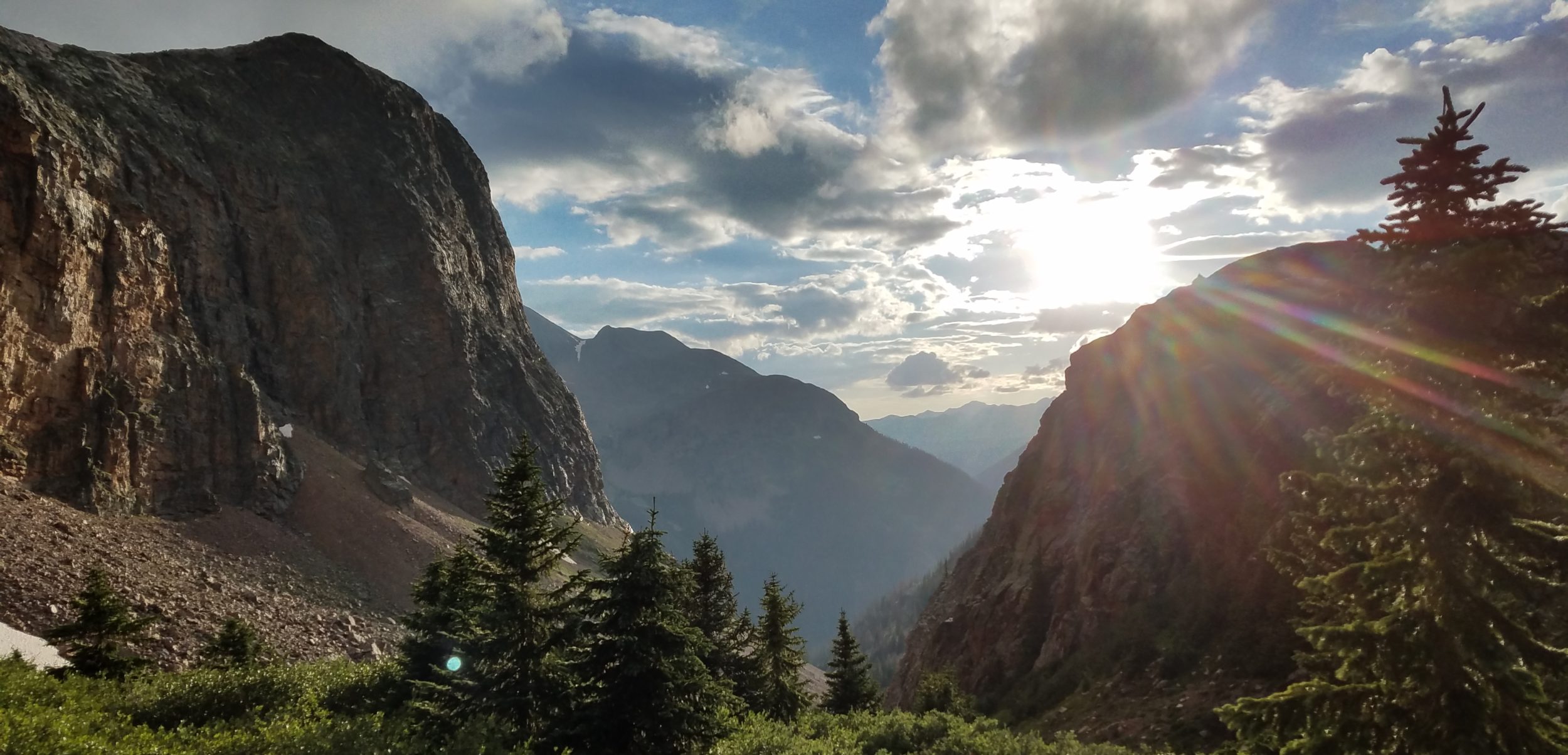
This day was a bit of a blur in terms of terrain detail. There was some ridge walking, some creek and valley walking, and lot of forest. I think we finally left behind the big burn scars. It was so nice to be among the tall, live trees again. I loved how the moss grows on the trees, with a defined line marking the depth of the snow in the winter. At the end of the day, I came to A-Tree spring. I’d planned to stop there but some hikers had already taken all the spots in the trees. A few more hikers arrived as I was washing up and pitched their tents right alongside the road. I had just seen a jeep drive by, so no way was I pitching by a road where I could get run over. Out Here shortly caught up and of course was pushing on until dark. I don’t usually like walking so late, but figured it couldn’t hurt to get a few more miles in, even if I was exhausted from the big elevation gains this day. The trail angels in Quincy had told us about a cold front moving through on Friday and we’d noted the clouds approaching and the temperature dropping. The more miles we could do while the weather was still good, the better.
We carried our water up the ridge to a dry camp in the trees. Even though we were high, we were slightly on the opposite side of the ridge from the wind direction. It seemed like a pretty good, protected spot, even with the wind picking up from the approaching front. Out Here noted that I had a great sense for campsite selection and an uncanny recall of trail details. I agreed. These were attributes that I’d honed over the years and were now prized skills. They certainly helped this day, even if it was one of the more foggier days in my memory. Listening to the wind howl in the trees above, but not even touching my tent made me happy.