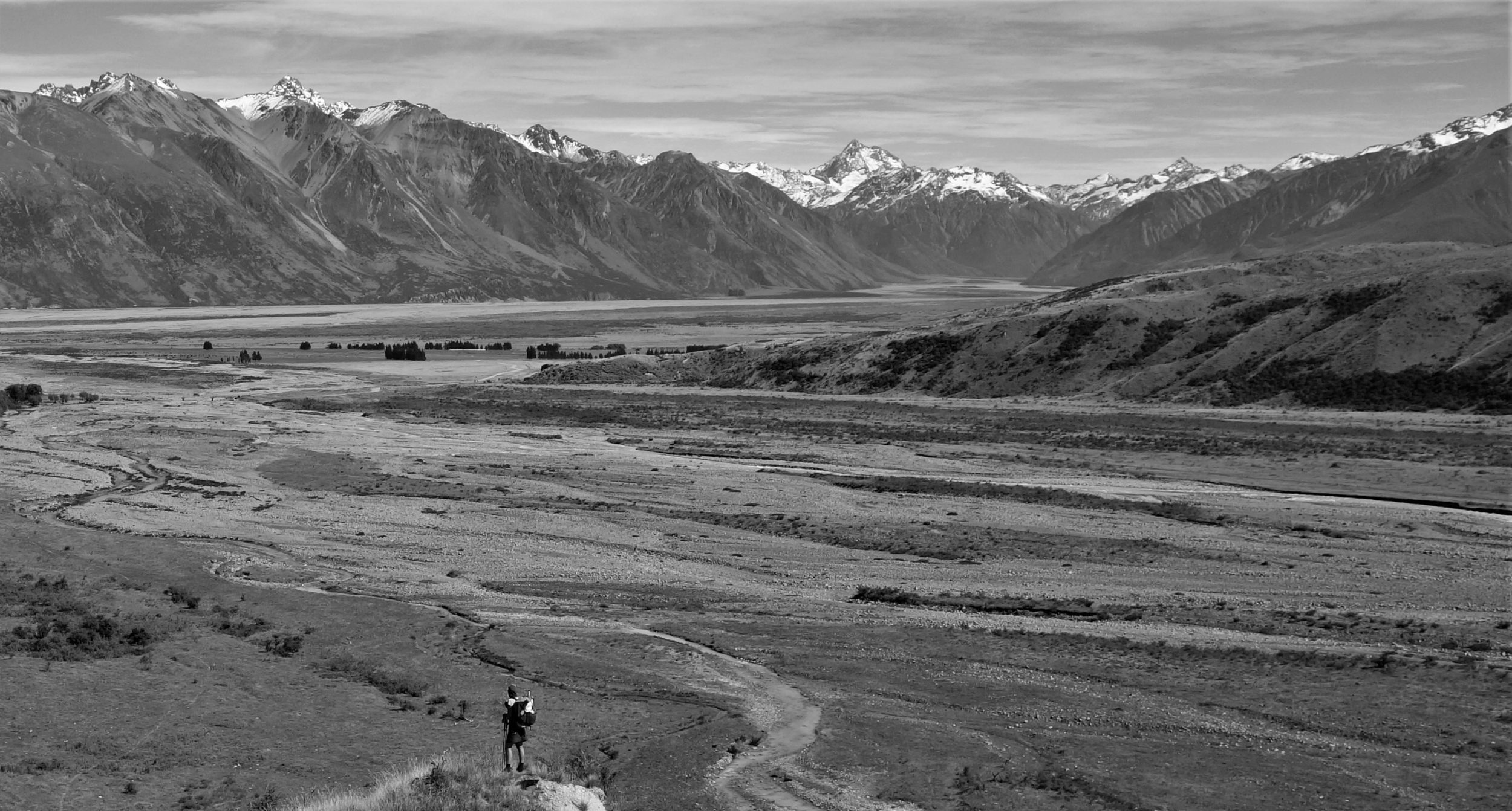
Tuesday, Oct 3rd, 2023, 0650-1830
Scotty’s Castle, Kanab Canyon to 1\2 mile south of Hack Canyon mine
23 miles, elevation 4170′
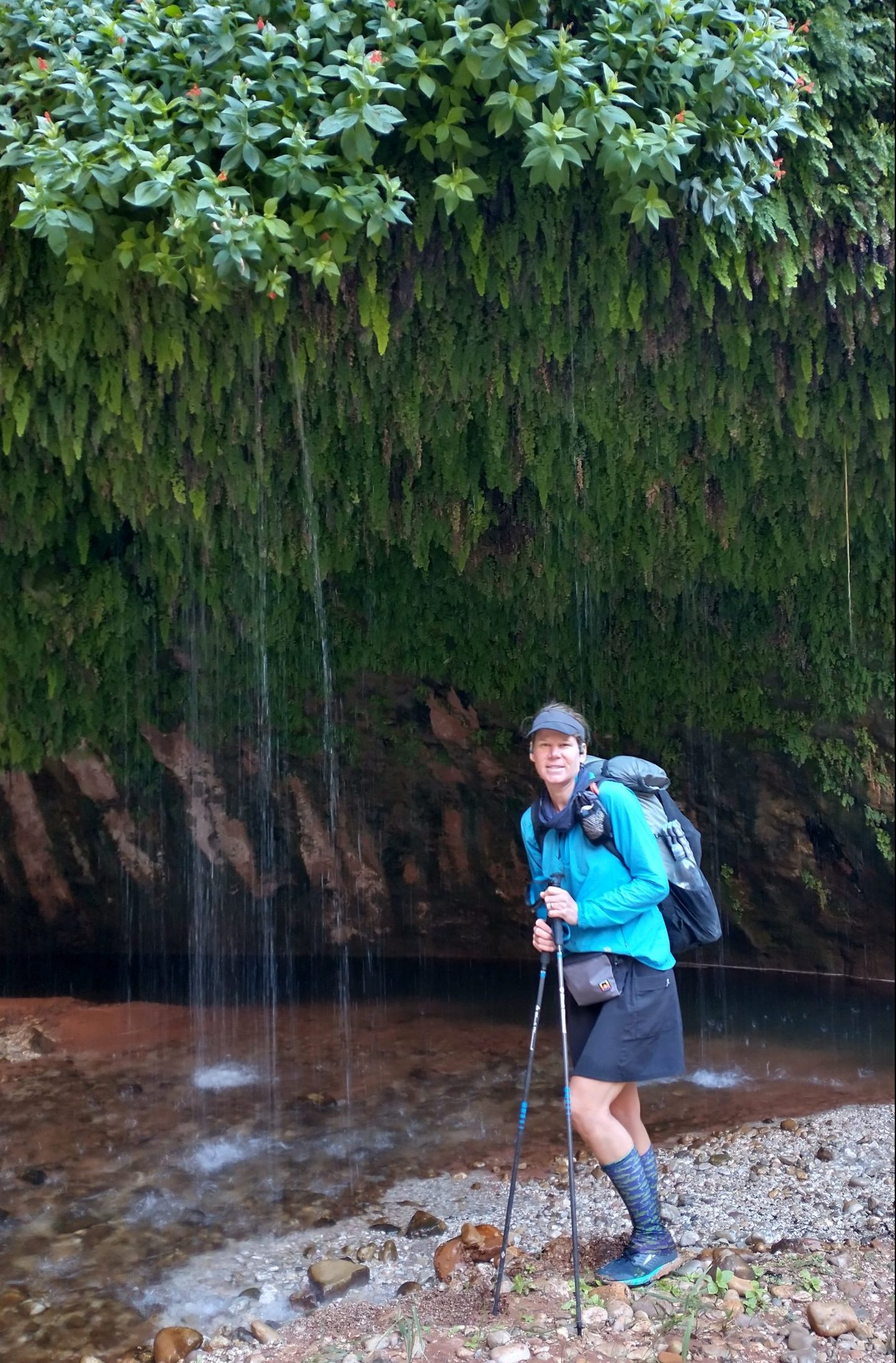
I slept well, enjoying a pretty still night, especially compared to the thunderstorm the night before. We resumed our 20 mile escape from the Grand Canyon via Kanab Canyon early in the morning. After only a mile, we came to Showerbath spring, which is revered for the water that dribbles like a shower from an overhang, lush with maidenhair ferns. Our timing was poor, since the spring is best enjoyed in the afternoon when the sun is hitting and it’s hot. I had no desire to soak myself under it. In fact, I became quite chilled just trying to collect water and getting splashes on my arms.
We filled most of our water bottles, because good water was supposedly hard to find beyond this point. The side springs had the best water, as the main channel of Kanab creek is thought to be contaminated by an uranium mine far upstream. Granted, I’d already been drinking water from the stream the day before. But I noted that it was slightly alkaline, so I opted to fill my 3 bottles from the spring. The creek was flowing for almost 2 more miles beyond the spring, so we stopped to fill our remaining containers there. In total, I had just a little over 4 liters, which would hopefully last me the rest of the day, night and for some miles the next morning.
We started the day with 29 miles to go to our water and food cache. Normally I could make those miles in one day, but the creek bed was slow going…1 mile every 30 to 40 minutes. Thankfully the giant boulders ceased, so we no longer had to do any more serious scrambling. But the day still involved miles of stepping over toaster-sized rocks and wading through water. Once the water was gone and our feet dried a bit, the going got a lot easier. There were some stretches of flat sandy wash that felt like heaven.
After 5 miles, we crossed the boundary of the National Park…we were officially out of the Grand Canyon. We spotted a herd of bighorns, with 3 very impressive rams. We watched them clamber up the steep canyon walls for a bit, entranced by their abilities. Then around noon, we ran into a group of students and their instructor, who were doing a loop hike as part of their outdoor education course. The instructor had a lot of local knowledge, telling us about the uranium mine up Hack Canyon and a fire scar near the headwaters of Kanab creek. He said that was why the creek flashed more often these days and also that we probably shouldn’t be drinking any of the water in the main creek. Well, hopefully the little bit that we drank well to the south was pretty diluted. Dilution is the Solution to Pollution…the Big Corporation mantra.
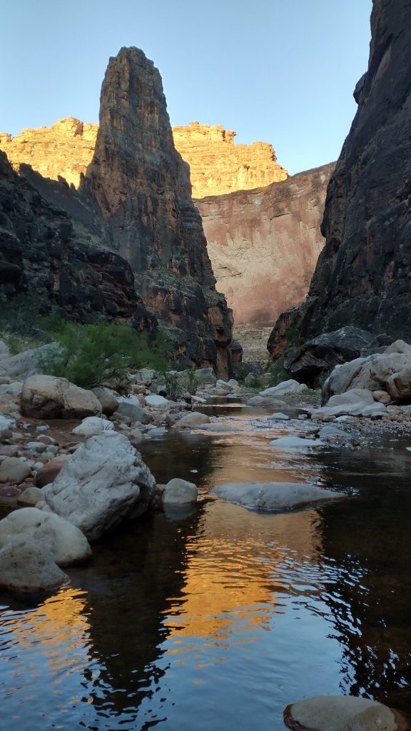
At this point, the creek began to flow again, looking very enticing. My shoulders were hurting from the 8 lbs I had added to my pack, carried for almost 10 miles already. I could have negated that effort by just collecting the uranium water from this area. We took a lunch break and I at least soaked some of my clothes in the water. It wasn’t very hot and the evaporative effect was almost too refreshing. I also saw an unusual bird in the creek: a black necked stilt. This is a waterbird more commonly seen along the coast. I never expected to see one in the desert.
Finally around 2 pm, we turned left into Hack Canyon, leaving Kanab canyon to continue its way north. The canyon had changed over time, now pretty wide, the walls a lot less high, with higher buttes that could be seen above. Hack canyon began with lower walls of red slickrock that looked like melted cheese. The area reminded me of the formations south of Moab, near Lockhart canyon. It felt good to have a little space around me, after the tight and imposing canyons we’d just been through.
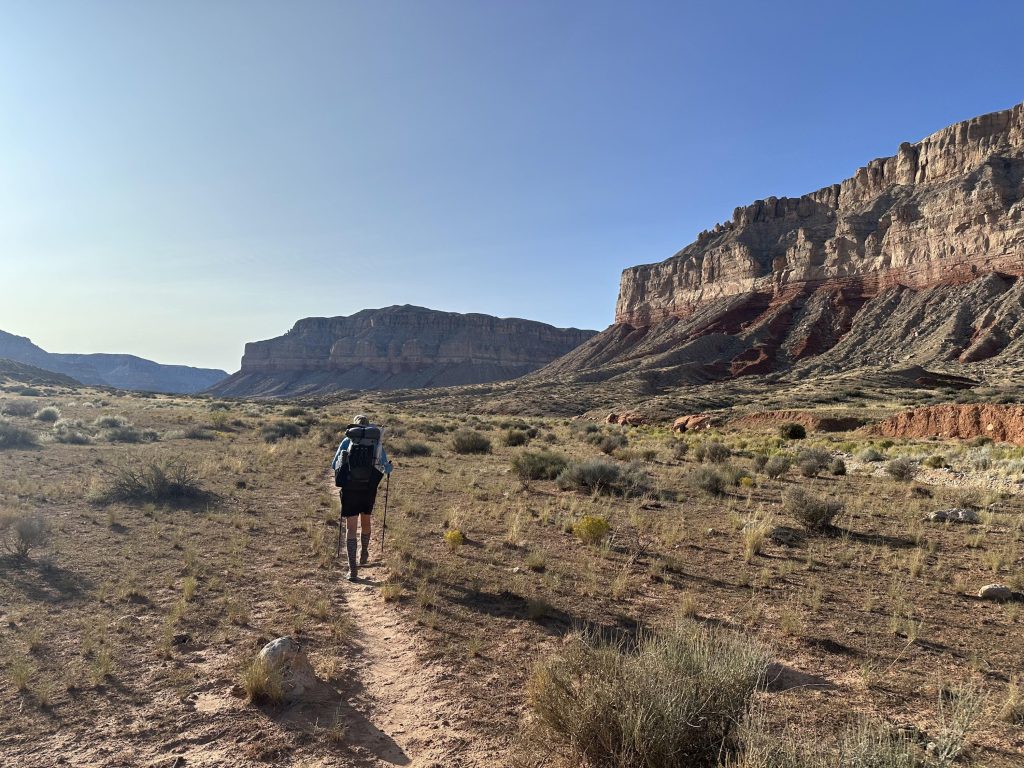
The walking also became a lot easier. There was a cairned trail, somewhat overgrown at first, but it became a well defined cow trail after a bit. I checked out Willow Spring, which was full to the brim of its concrete trough. The water looked pretty good, aside from cow poop everywhere, but a signed warned “not suitable for drinking.” This was supposedly because of uranium contamination…so why was it ok for the cows to be drinking it and then for us to eat the cows? Yet another reason I stopped eating beef.
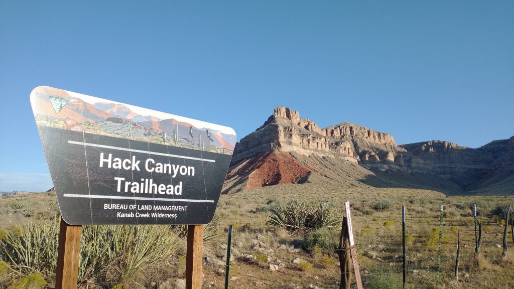
We walked a ways further, past a fence and oddly a BLM trail register. We signed our names and were surprised to not see the names of our remaining bubble from the spring. The only name I recognized was Recon, a guy I had never met but knew from FB and his blog. He also hiked the Oregon Coast Trail a few weeks before me…straight from the Hayduke to the OCT…now there’s quite a 180. I guess they do both have a lot of sand in common.
The trail turned into a well-maintained road at this point. We walked it right past sunset, then plopped down on the ground in a spot free of rocks and thorny plants, but not of the wind. I tried to find a place more protected in the wash, but it wasn’t the sandy kind, just rocks. So I settled for the prairie, hoping the breeze would die down overnight. It didn’t, but at least it wasn’t too bad at first. We had a great view of the Milky Way and Worm was able to get some cool photos with his iPhone. All in all, it was a pretty good day. We made some decent miles and only had 6 miles to go to our cache. We were both very low on food, looking forward to the extra in the cache. I had plenty of water, though. I could have gotten away with carrying only 3 liters, but better to be safe.
