06:30-15:30, Monday, 8-17-20
CO 14ers: 22 & 23 of 53
Distance RT: 15 miles
Elevation gain/loss: 6,100′
Starting Elevation: 9,900′
Summits: 14,073′ & 14,420′
Rank: 35 & 3 of 53
Location: Sawatch Range, Collegiate Peaks, west of Buena Vista
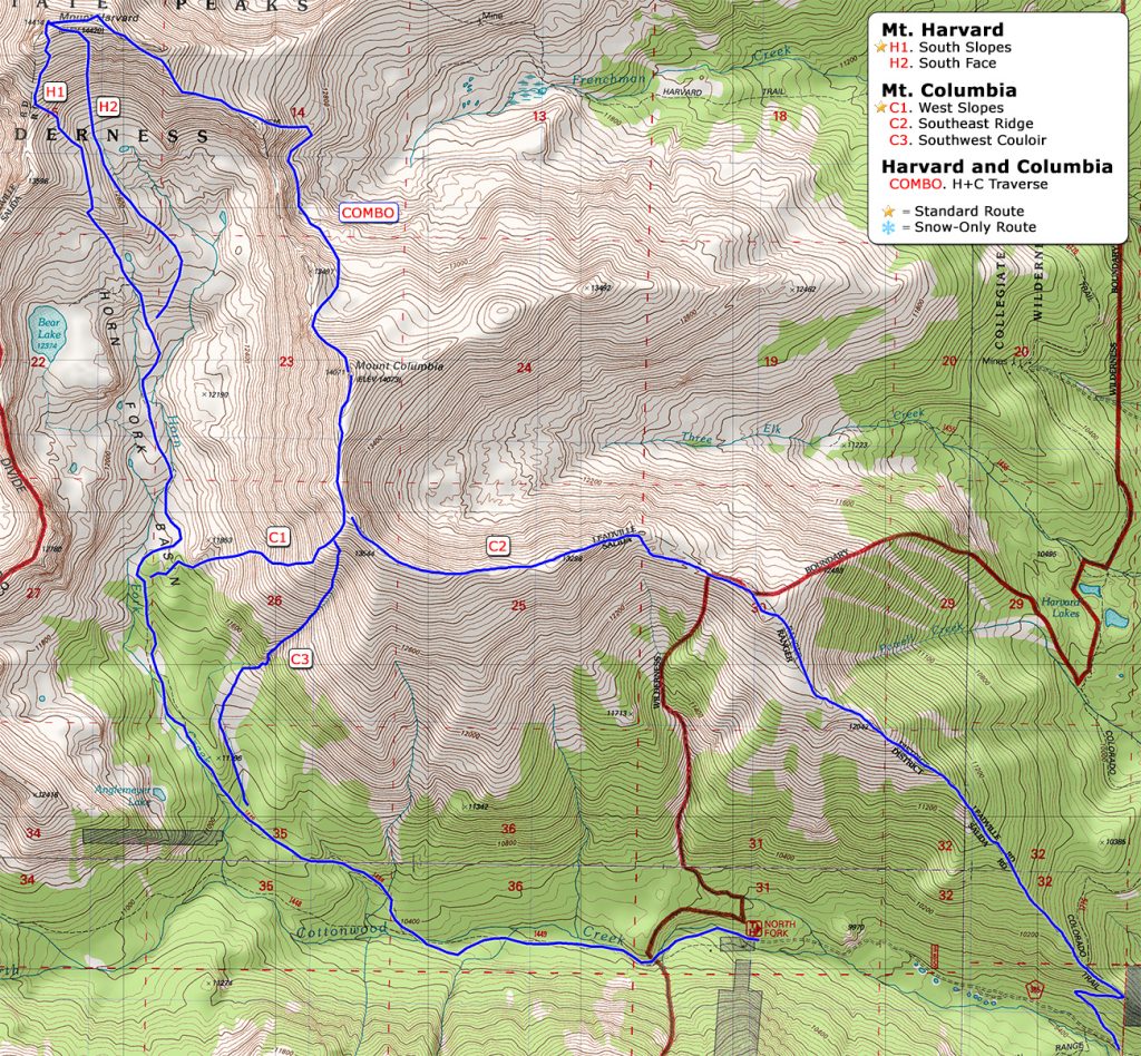
Route: N. Cottonwood Creek Trail to west slopes of Columbia, north and east on ridge to Harvard, back down the south slopes, counterclockwise, Class 2
After a week away from 14ers, I was ready for some more. I joined Sandy the day before, where we did some tubing on the Arkansas River park rapids. We’d found the tube on a hike down Grape Creek, outside of Canon City, a few days prior. We’d taken it to the the river park there, where we had a little too much fun playing in the man-made rapids. These municipal river parks have loaner life jackets, which we put to good use as well, running the river in them a few times sans tube. But it was much more fun with the tube.


The river park also has a ton of ducks and geese, which I’ve been chasing since I was a little kid. To me it’s always been “the Duck Park.” I’ve been honing my skills at catching domestic fowl over the years and scored quite a big one here. I thought I might try this goose as a flotation device but she was not into that idea, so I just hugged her for a bit and let her go.
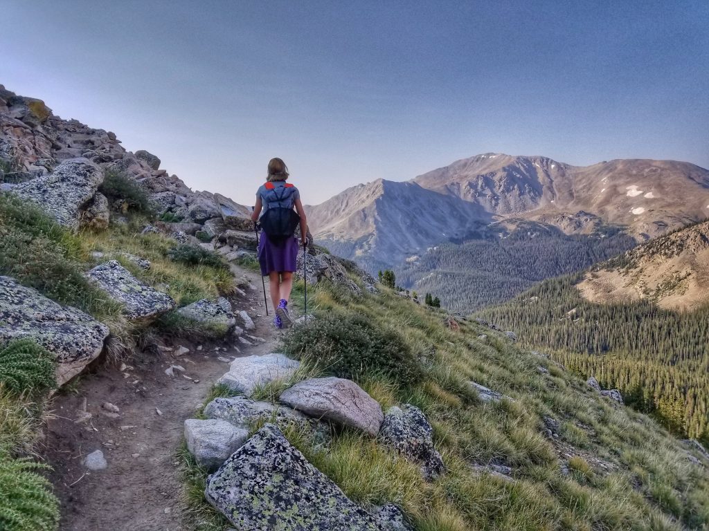
OK, couldn’t resist sharing one of my classic pettings, but back to the hiking! We car camped at the trailhead outside of Buena Vista the night before. Hitting the trail in the morning felt really good. We decided to go up Columbia first, saving Harvard for last, even though 14ers.com describes the route in reverse. Harvard is the 3rd highest peak in Colorado, so it felt right to finish on a high note. The hike to Columbia was pretty uneventful. We passed some trail crews diligently improving switchbacks…they really do help to resolve erosion issues and protect the fragile tundra. Just look at this beautiful tread…one of my favorite photos from the summer.
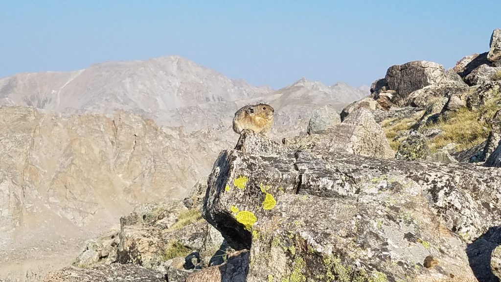
I focused my attention on a photogenic pika. Even though I’ve seen thousands, they are just too cute to resist. I fall for them every time.
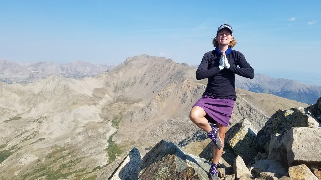
The summit only had a few other people and no signs. So we did silly poses in front of Mt Harvard. We quickly had our fill and started towards the next peak. Going down the ridge, we caught up to 2 hikers that we recognized from our most recent trip to Challenger Point/Kit Carson. They were the couple that told us about the crowds that Sunday. We were happy to get to chat with them again and like us, they were trying to connect the ridge to Harvard. We hiked together for a bit, trying to work out the route. There wasn’t much of a trail anywhere to be found. 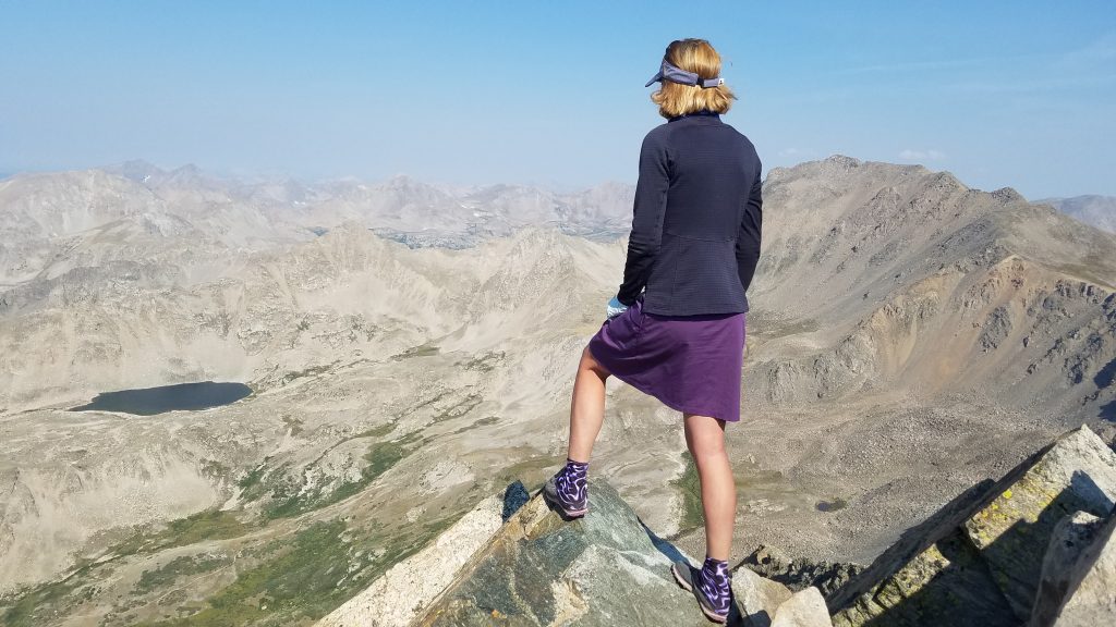
Even though I’d studied the route and knew I was going the wrong way, I came to a gully that I just felt compelled to go down. The couple followed me down the gully for a bit but wisely turned back at some point. To me it looked like the most direct way to get across the valley to the ridge on the other side but I lost a lot of elevation in the process. This route required a drop of 1,500′ from one peak to the next and I probably did closer to 2,000′. The gully also kept getting steeper and steeper. I tried to follow around some rocks at one point but got cliffed out. So I just kept going down the funnel, letting gravity do the work. In the hairiest places, I shifted my weight down, ready to slide on my butt if need be. I’m pretty comfortable going down steep slopes and made it to the bottom unscathed. When I turned around to look at the slope from the bottom, I simply thought, “well that was stupid.” I didn’t dwell on it though, focused on getting to the much easier ridge on the other side of the valley.
The trek up the ridge and the rest of Harvard was relentless but straightforward. It felt like a long ways up…which it was. An extra 400′ on top of 14,000′ makes a big difference. We passed a few people going the other way.
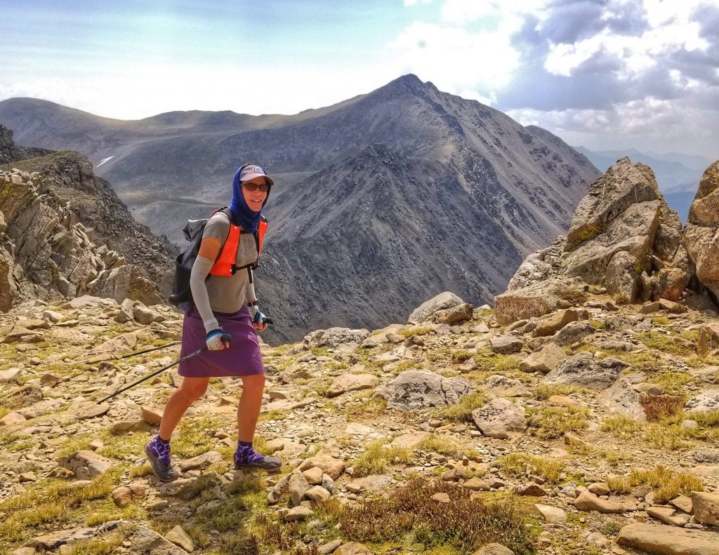
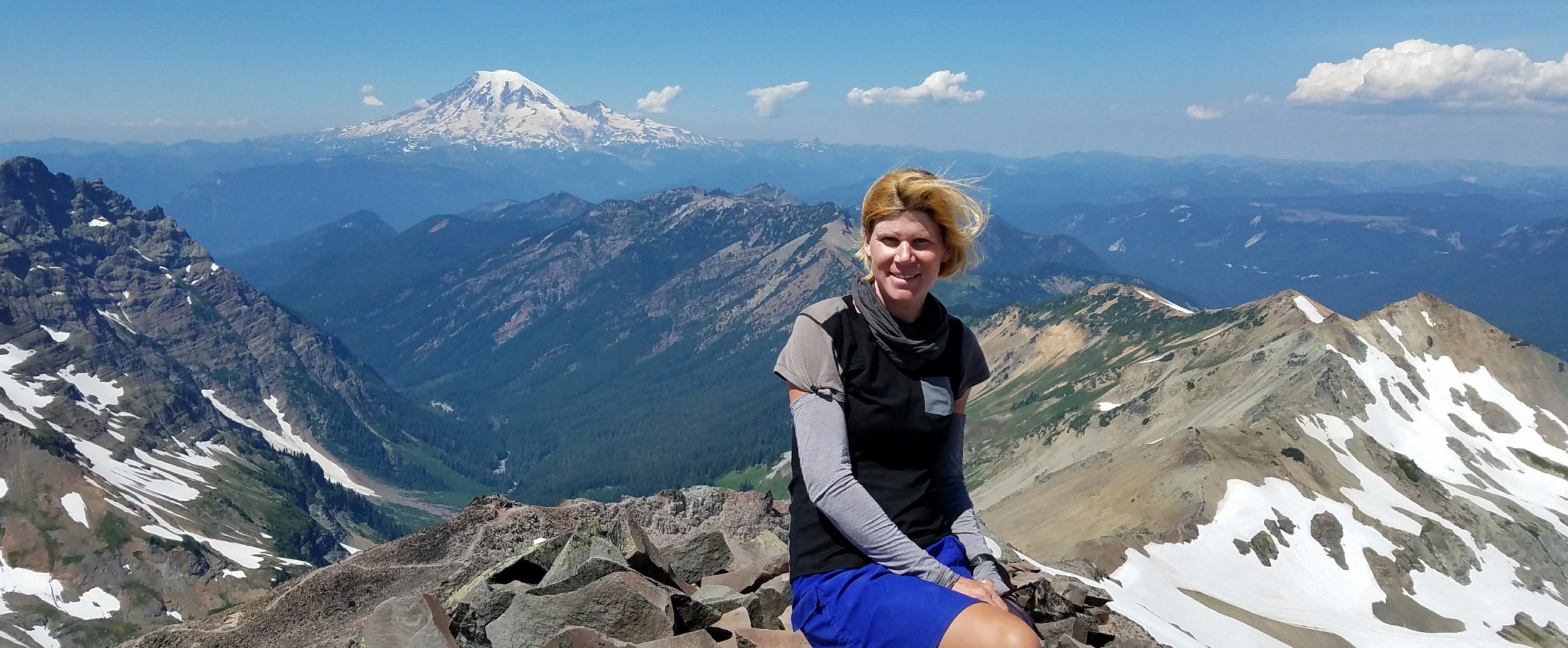
Action shot with Mt. Columbia in the background. The connecting ridge is also viewable behind me but it’s too jagged to follow directly. We went down through the valley to the left of the ridge, which is not visible in the picture above.
Finally we made it to the summit of Mt Harvard, where I admittedly felt pretty winded. The fatigue passed quickly and we enjoyed the summit to ourselves for the whole time we were there. It had been one of the most quiet days this summer but not surprising for a Monday. We looked onward at the remaining peaks in the range…7 14ers that I had yet to hike in the Sawatch range. This would require a minimum of 5 more trips…plenty of opportunity for years to come.
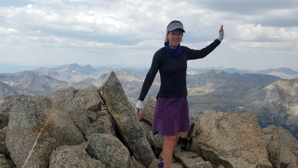
Mt Harvard, 3rd highest summit in the Rockies! It’s only 13′ shy of the tallest, Mt Elbert, and 1′ shy of the 2nd, Mt Massive.
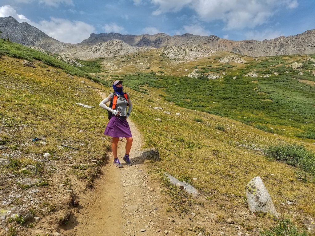
On the way back, we enjoyed new territory, as we didn’t have to return via the connector to Mt Columbia, avoiding a lot of elevation re-gain. It was all downhill and we only had to retrace out footsteps for a few miles on the approach trail. We also saw some mountain goats…the first we’d seen all summer. I showed off my hiker legs for fun in the broad valley below. Two more checked off the list…with the big question, what would be next?
In case you’re wondering what happened to the couple we met between the 2 summits, they decided to abandon their trip to Harvard and instead hike down to reconnect to the Colorado Trail, then back up the road to the trailhead. We passed them walking the road as we drove away, stopping to give them drinks that we had left from our trail magic event. We were glad to see they were ok. All’s well that ends well.