2025 SOBO PCT Days 7-15: Stehekin to Snoqualmie
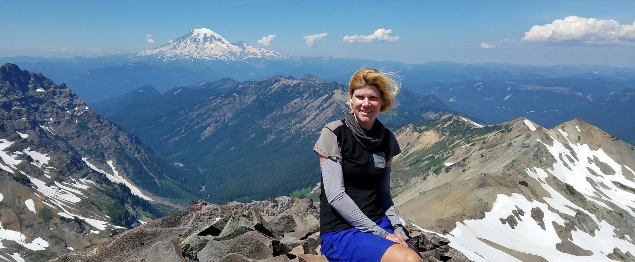
Day 7: Thursday, July 17th, 2025, 0900-1900. Stehekin Bakery21 miles to Miners Cabin trail junction, mm 101.6, 6050’up\2170’down, elevation 5500′. It was a peaceful night in the woods. I’m pretty sure no one ever knew I was there, just off the road in my camo tent. I love stealth camping, especially when it earns me such an advantage. Due to my strategic planning, I arrived at the bakery by 6 am. If you aren’t already in the know, the Stehekin bakery is one of the top 5 highlights of the entire PCT. The owner, Cragg Courtney, was already inside getting ready and invited me in to grab a coffee, use the bathroom and charge electronics. He was so kind and we[…]
Read more