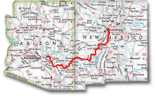
The Grand Enchantment Trail (GET) is a roughly 800 mile wilderness tramping route across the Southwest U.S., connecting mountains, deserts, canyons, and cultural/historic places of interest. Beginning in the Sonoran desert near Phoenix Arizona, the route meanders eastward, crossing unique and diverse Sky Island mountain ranges, the Gila watersheds, the pine-studded Continental Divide, and the southernmost Rocky Mountains, where it descends dramatically to the outskirts of Albuquerque New Mexico at its terminus. The route incorporates about 70 miles of the AZT and 45 miles of the CDT. (Description by Brett Tucker)
The GET was conceived of almost entirely by one man, Brett Tucker, AKA Blisterfree. He has spent countless hours researching the best trails and routes to piece together, carefully taking into consideration water sources and resupply options. He created all the maps, guides, and GPS info for distribution to fellow hikers at little to no cost…it’s definitely a labor of love for him! It’s also so inspiring that one passionate person can ‘make their own trail,’ so to speak. Given the vastness of the United States, there’s room for a whole lot more. In fact, Blisterfree has already ‘created’ several more long-distance routes. It reminds me a lot of New Zealand’s Te Araroa, which was largely conceived of and pieced together by a local kiwi man, Geoff Chapple.
Learn more at the GET’s website: www.simblissity.net/get
I have not prepared this much for a trail since Te Araroa. Given there’s no easy navigation or crowdsourcing app (i.e. Far Out), I’m back to piecing together information from a variety of sources (GET website, FB page, maps, water reports, weather and climate pages). This route differs greatly from trails like the PCT and AT, as not one single mile of tread is built specifically for its purpose nor is it marked with cohesive/consistent trail signs (like white blazes). Some sections incorporate forest service trails, others forest service roads, while other parts simply involve following a canyon or wash or just going ‘cross-country’.
Because such travel requires a fair amount of prior knowledge, I spent weeks studying the maps and guides. I printed the maps to carry along and also loaded the GPS trackline and waypoints on an app called Backcountry Navigator…it displays your position on a map, just like the Guthooks app, but with a lot more work initially to download the maps and upload the gpx files. Water sources will also require a lot of scrutiny and hopefully updates from hikers that may be ahead. So far, it sounds like only a handful of others will be attempting the hike this spring.
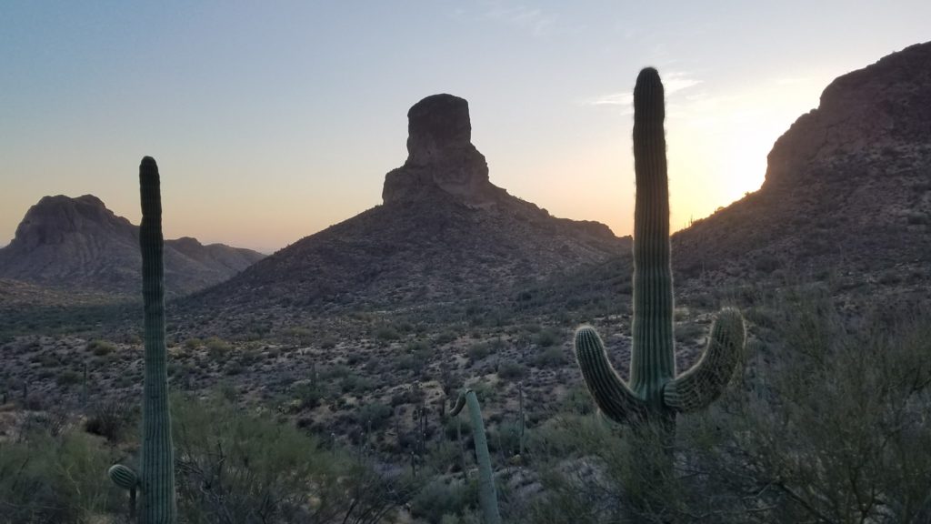
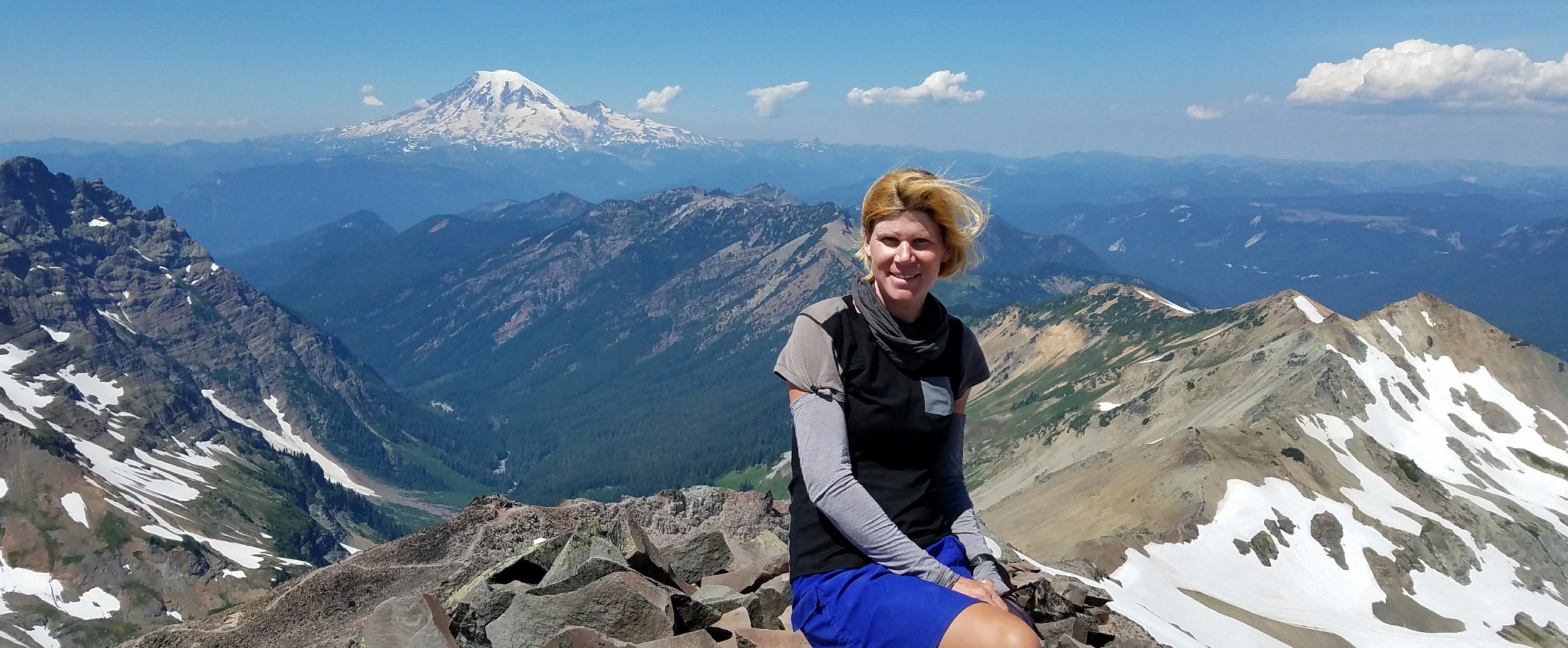
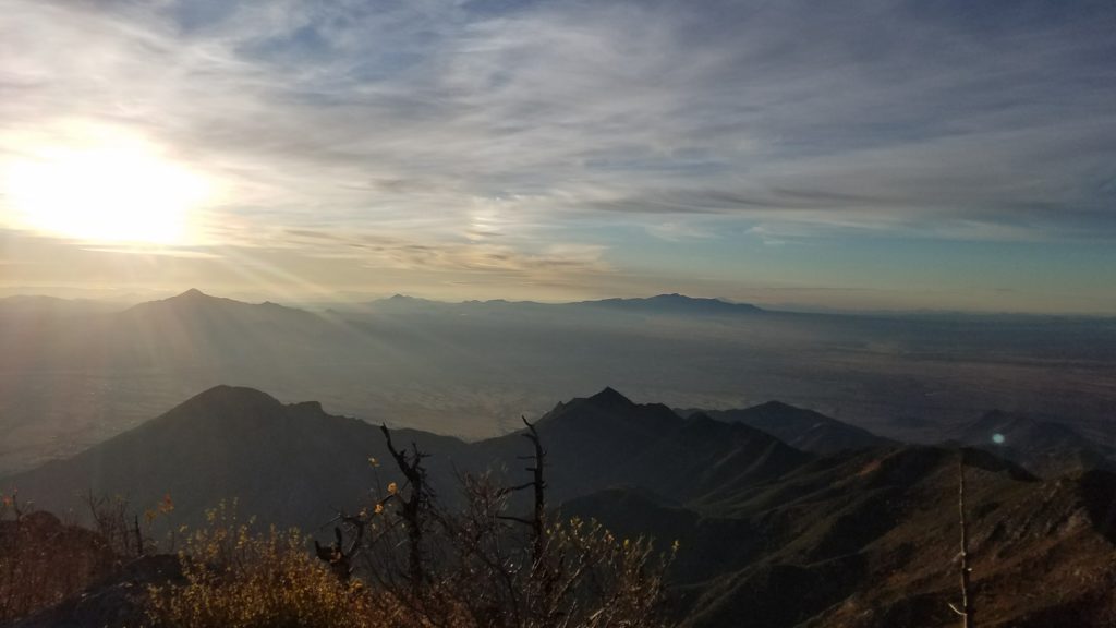
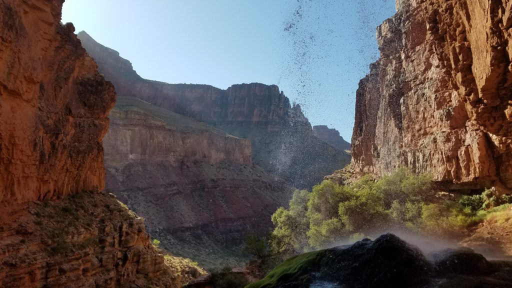
After thousands of miles spent on the southern sections of the PCT and CDT, as well as the entire AZT, I’ve discovered quite a love for the Desert SW. This route promises serenity, solitude, ruggedness, extremes, exposure, fatigue, dehydration, and fantastic scenery. I’ll be sharing spaces with mountain lions, bobcats, bears, foxes, coyotes, rabbits, snakes, skunks, scorpions, tarantulas, gila monsters, horned lizards, fruit bats, owls, hawks, eagles, canyon wrens, and a whole list of other critters that make the desert so unique and wild. And I will constantly be trying to avoid and outwit the thorny vegetation that will seek to rip me apart as I make my way through the untamed landscape. The route passes through over 200 miles of designated wilderness and much of the rest will feel just as wild, I’m sure.
I had hoped to hike the Hayduke route through Utah and northern AZ this spring, but considering that it crosses through many National Parks that could still be affected by pandemic restrictions, I thought it wiser to shift my focus to the GET. The only permit required for the GET is through Aravaipa Canyon and there’s a bypass, should I fail to get one (which is looking pretty likely at this point). I will begin the hike late March, eastbound from Phoenix. The route starts along familiar stomping grounds on the Arizona Trail and also allows for a reunion with an acclaimed Trail Angel in the region. The section along the CDT in the Black Range of New Mexico will be new to me, as I bypassed it in 2019 in favor of the Gila Canyon alternate. So I look forward to completing more of the CDT, as well. Stay tuned!