February 19th
Hamilton Hut (km2233) – Lake Coleridge Village (km2280)
Mileage: 29mi/47km
Despite the threat of an approaching post-tropical cyclone (that’s what the weather people are calling it…I prefer the term weather bomb), this was a really great day of walking. It entailed a little bit of everything: a brief forest walk, a valley walk with multiple river crossings, some route-finding, scenic road walking, an overgrown TA connector trail, then finally some good old hitching to town. Anna, Tuomas, Bertram and I were the first out of the hut at 6:30 am, as planned. It’s nice to have such reliable hiking buddies. It had rained a little overnight and the morning was a bit chilly. We started right away with wet-feet crossings of the Harper River. After about 10 crossings, my feet were solidly numb from the cold. It hurts to try to hike fast on numb feet, like walking on stumps. They warmed up after awhile as the sun played peek-a-boo. At least we seemed to be walking towards better weather all day. 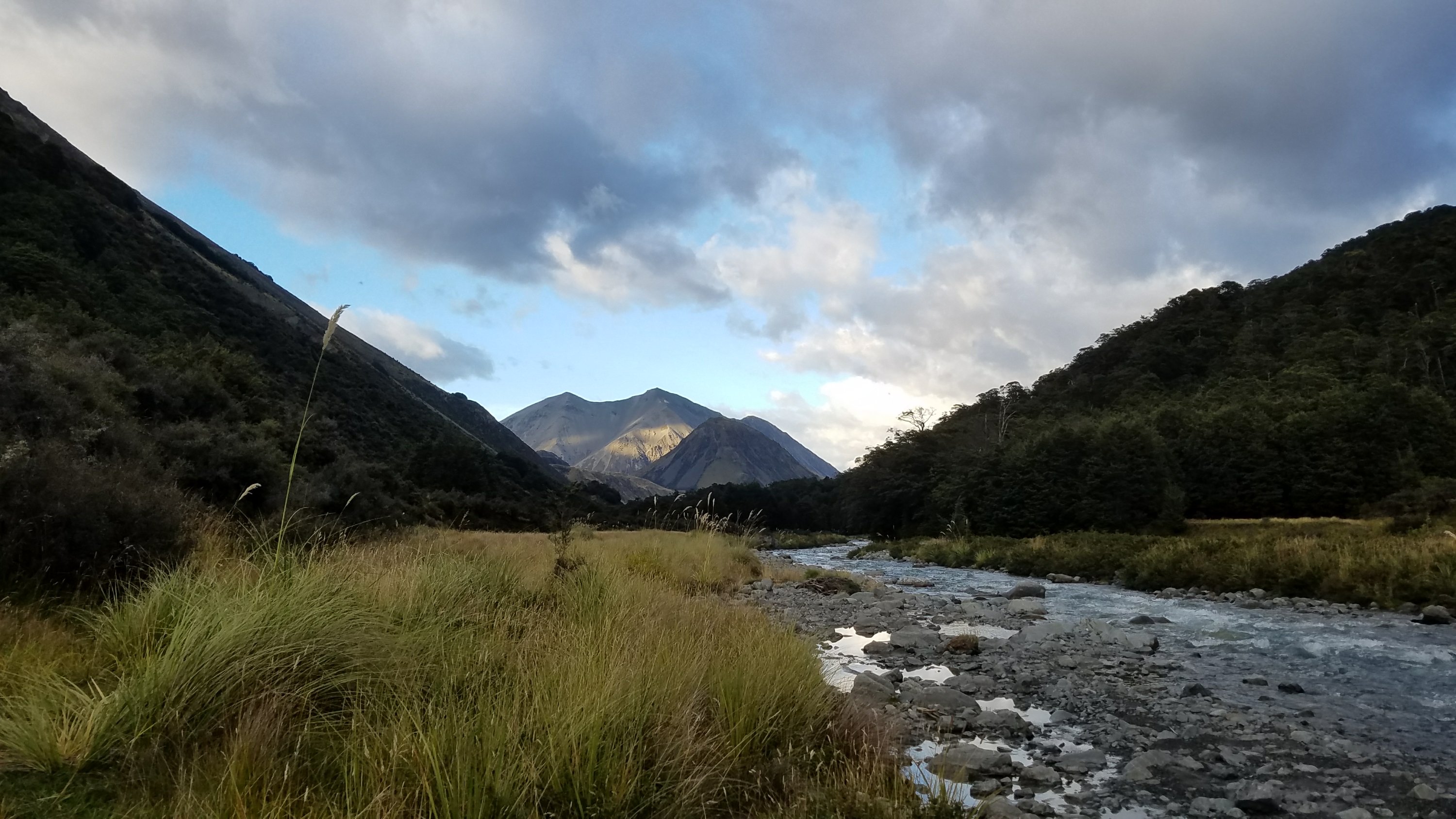
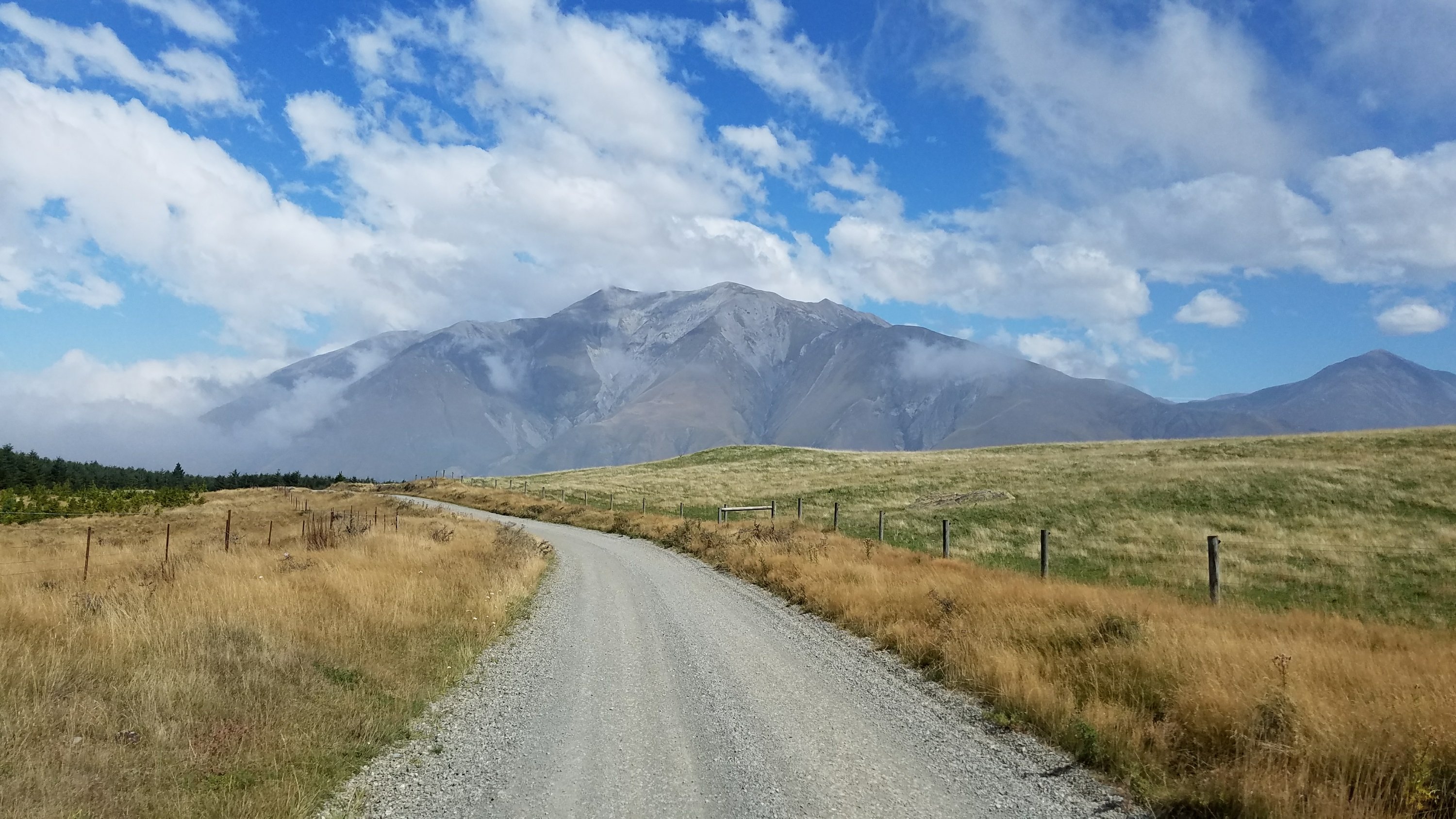
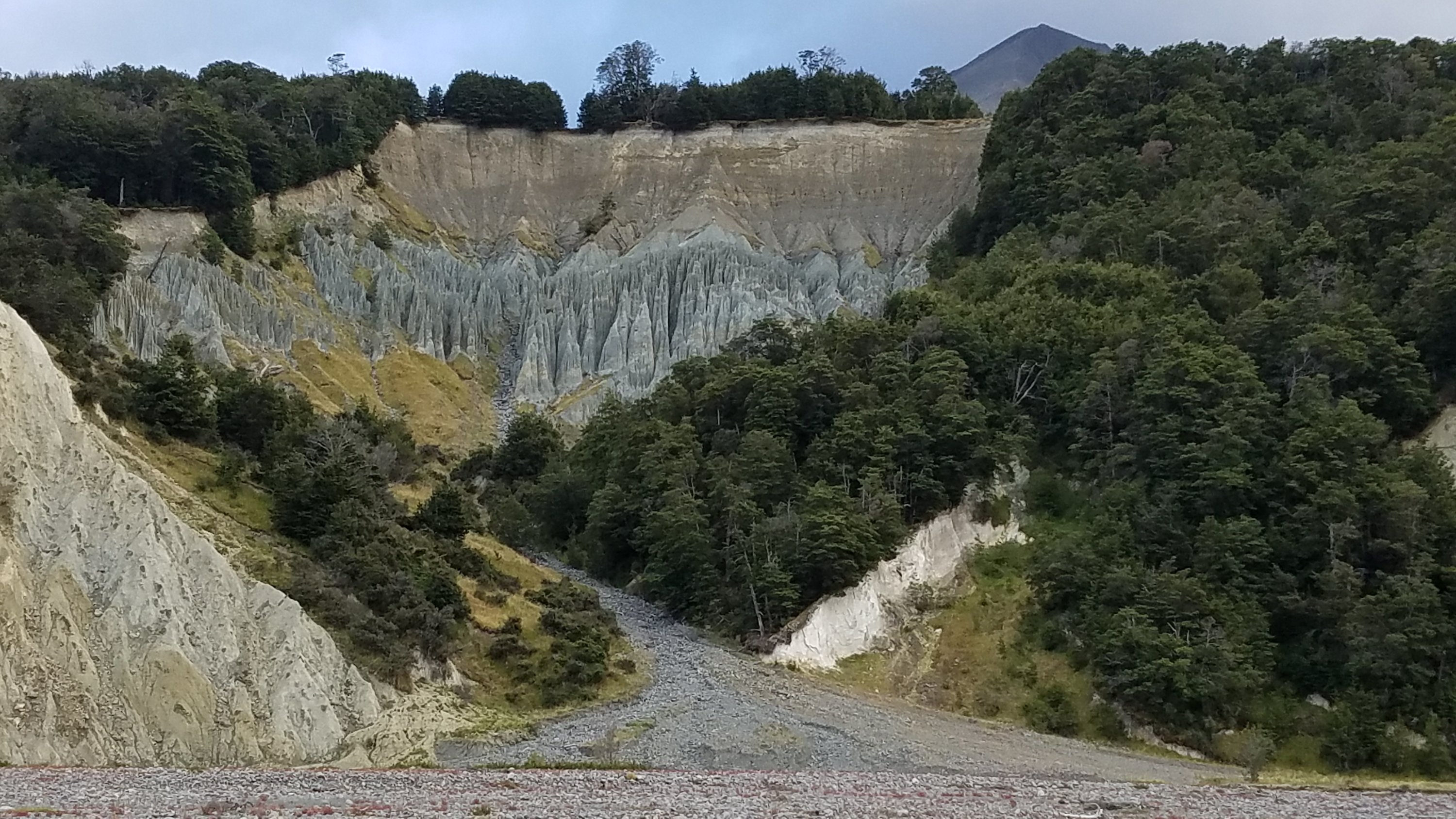 At the final crossing of the Harper River, we balked a little and discussed taking an alternate 4wd track that shows up on the map. The TA leads straight to a campsite on the power station’s land, the last one before another 28 kms to Lake Coleridge…which has no camping or budget accommodation. As we intended to do the whole distance in one day to avoid the coming storm, a shortcut past the campsite was in our best interest. We started up the track and immediately encountered a guy walking his possum trap lines. We saw him from afar handling a few he had already caught, then walked right past a live one in a trap. These were the spring-loaded jaw-type traps, so it was tough to see the poor animal suffering. I couldn’t even bear to take a picture of it. It’s not their fault that they are such pests. But every time I think about my favorite birds, I’m able to push the possum pity aside. Still, we moved away before having to witness the possum getting dispatched…it is done with a hammer and none too pretty, most likely. The trappers pluck the fur off the body, so at least there is some use for the dead animal. The track turned out to be very nice and scenic. It rose a little out of the valley, giving us spectacular views of these mountains that are like volcanoes. They rise individually from the valley floor and are very grand.
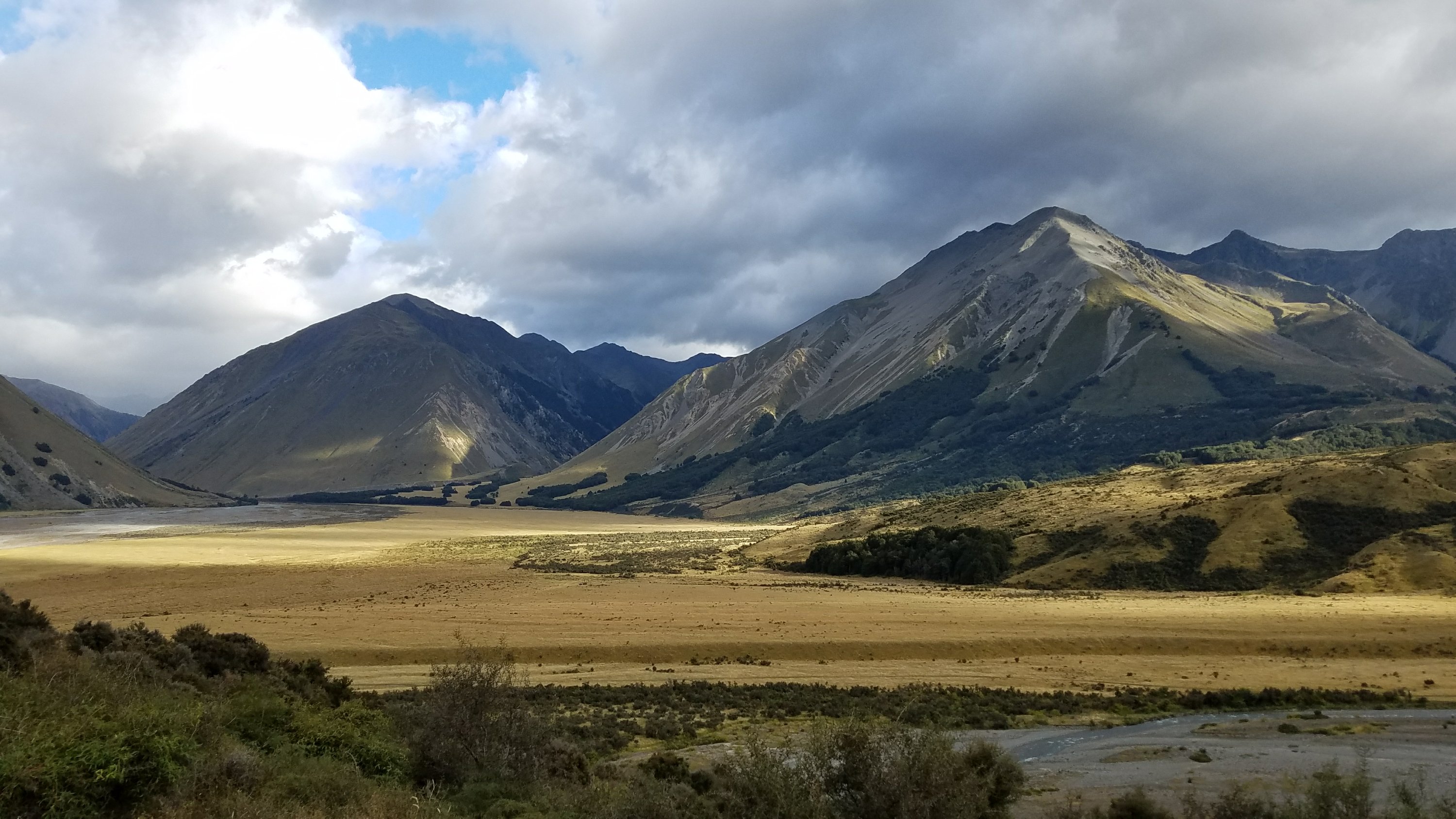
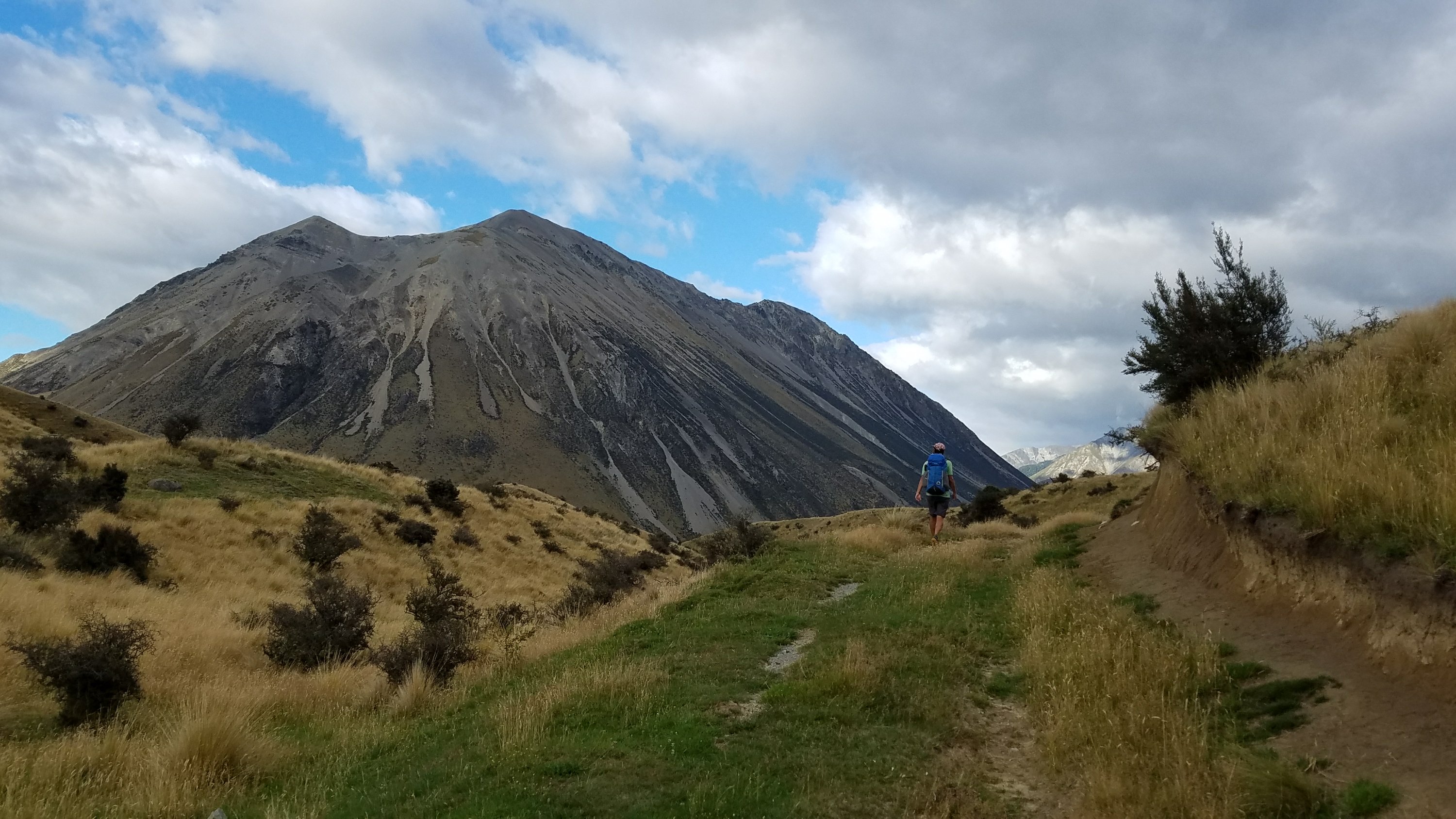
 The weather was very pleasant by now and I really enjoyed being able to walk and look around at my surroundings. We came across a great sign.
 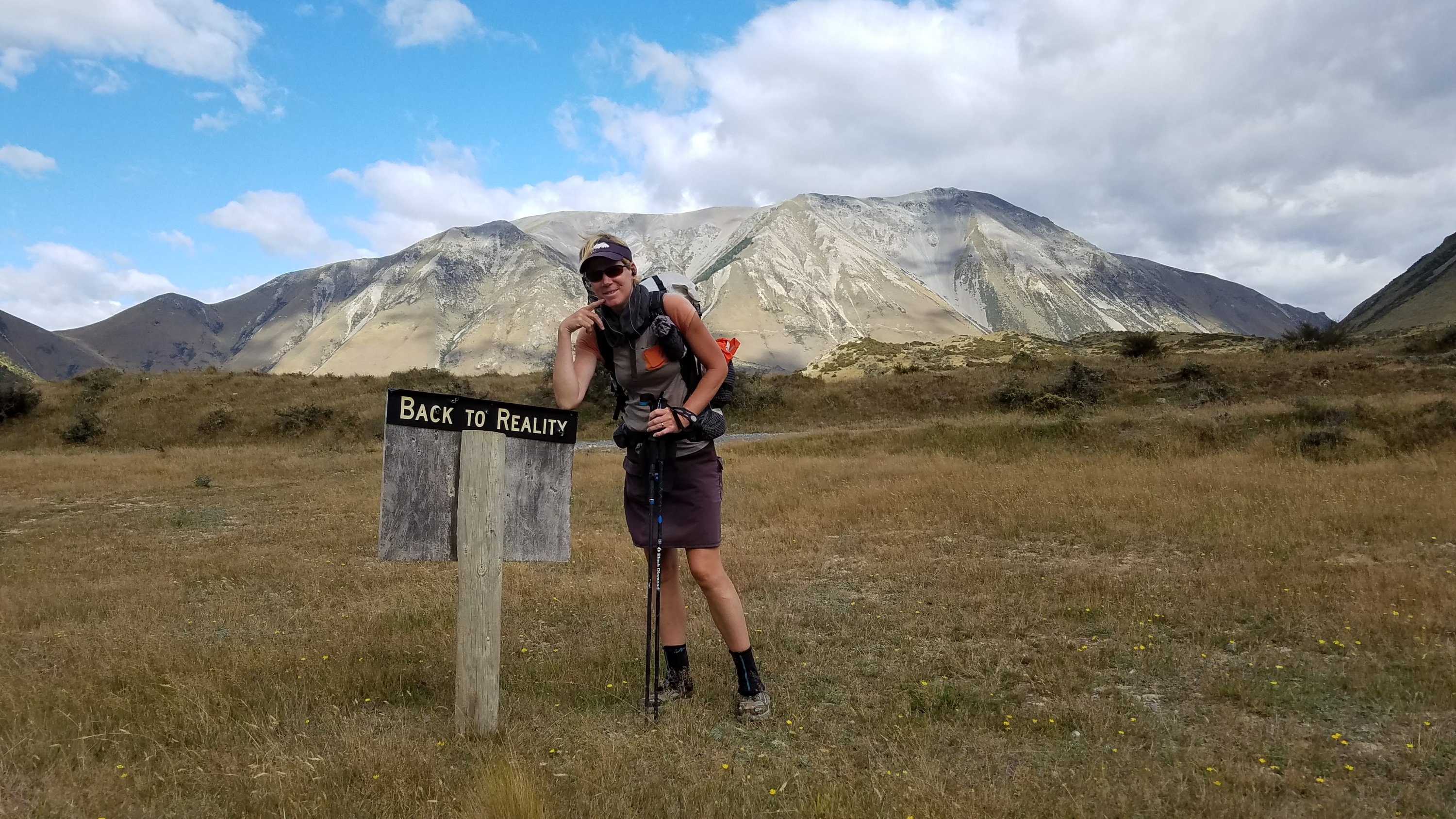 The distance passed quickly and shortly we were back on the TA. We shaved probably about 8 kms off the walk on the main road, in favor of a road with no traffic and great views. A win win. But we still had another 13 kms of main road walking, during which time about 4 big power station trucks flew by. It was a gravel road with a speed limit of 100 kms per hour…that’s 60 mph on gravel…Yikes! A farmer also stopped to warn us of the impending doom of the storm. We then came to a 3 km connector trail that would take us towards the tiny settlement of Lake Coleridge. It was only 2:30 pm. We had talked about continuing on the road to improve our hitching chances but a part of me really wanted to stick to the trail at that point. I’m glad we did because it offered great views of the lake.
 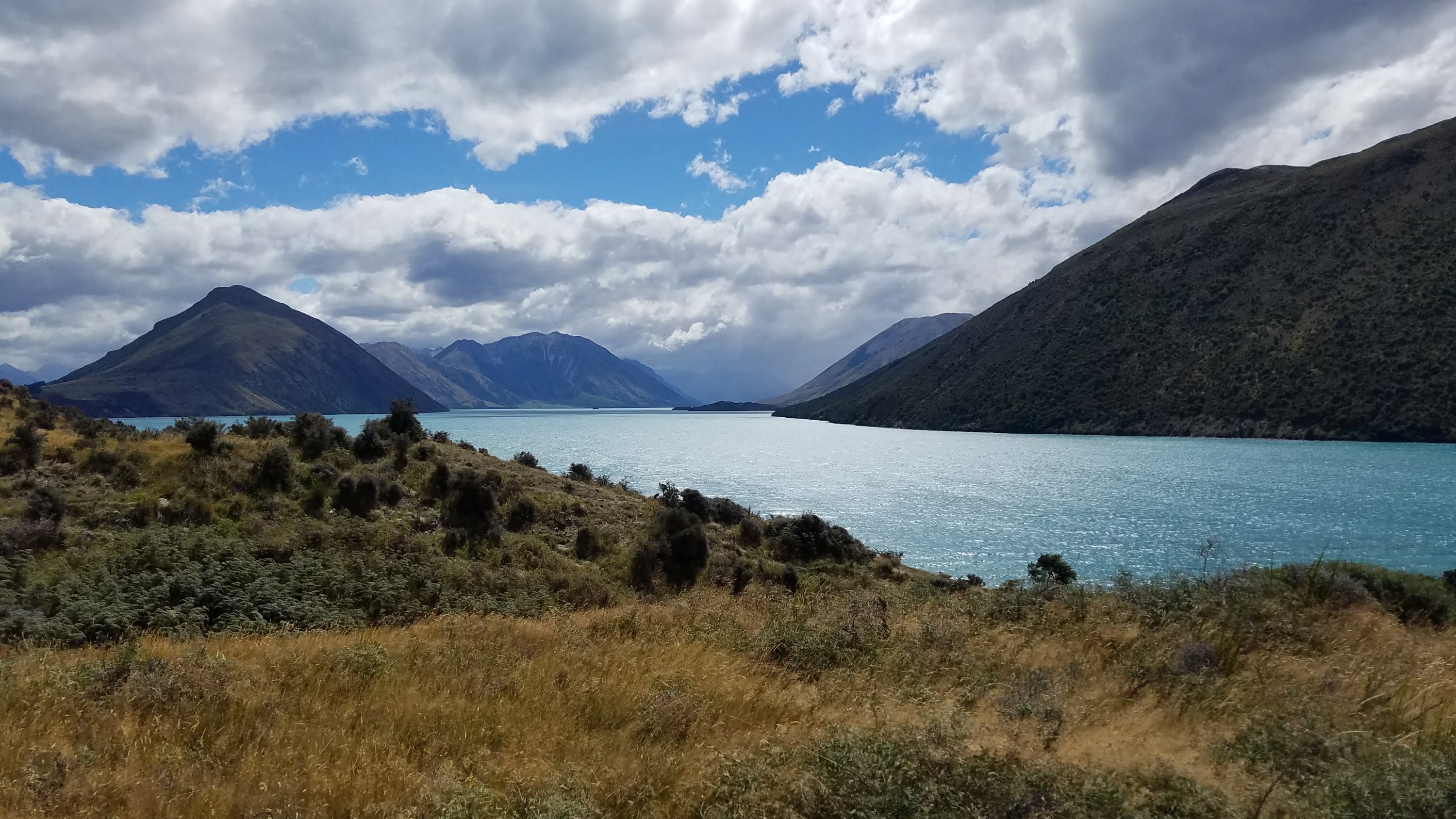 From there it was an easy 4 kms into the village and we found another fun sign.
 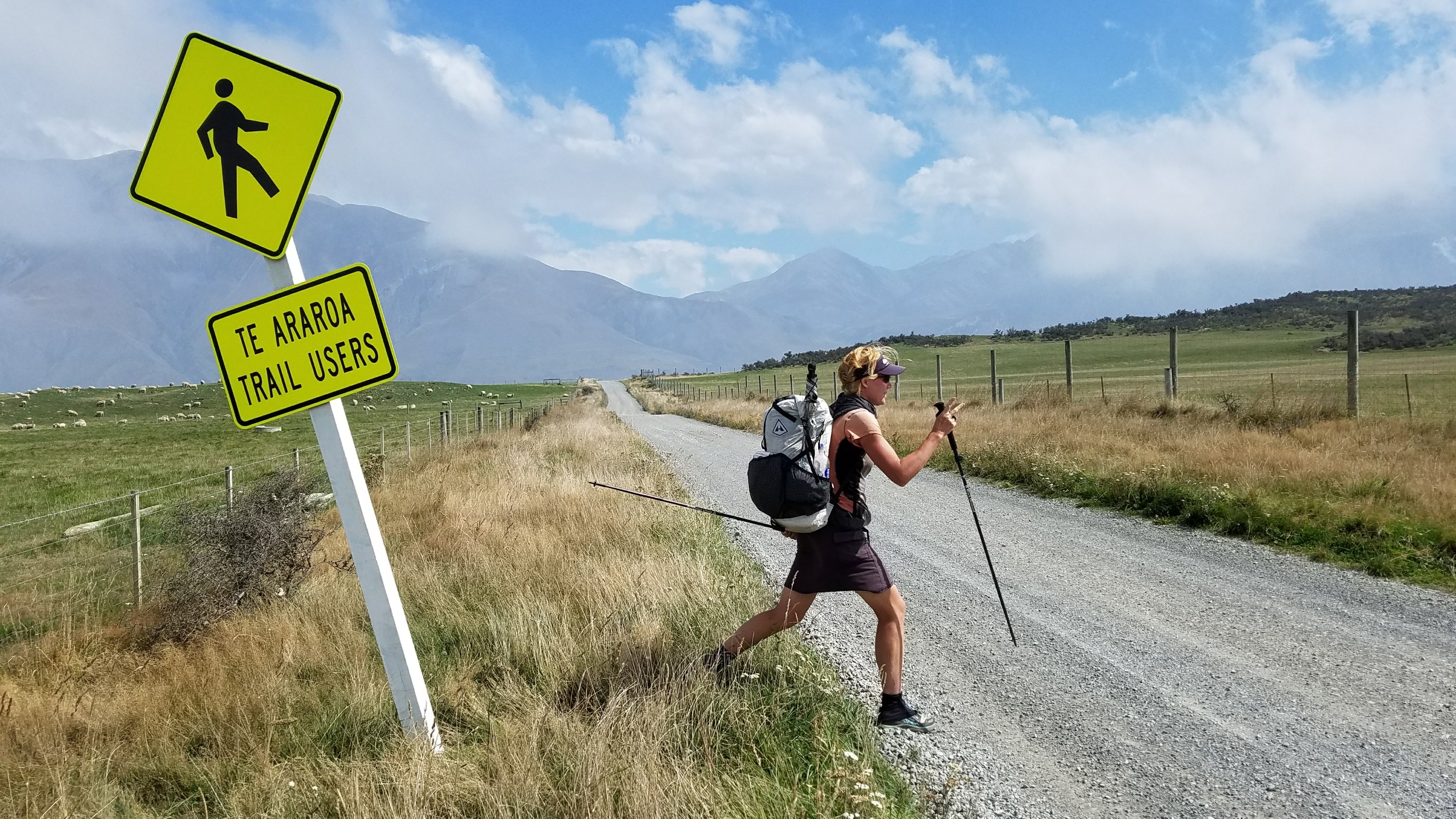 The weather was really starting to change fast now. All day the clouds were chasing us and by the village, cold, moist clouds were closing off the valley towards Methven. It was really interesting to see all the different cloud types and how they were moving. One cloud actually had circular movement, like a small tornado. Strong winds were coming from the NW off the lake and were suddenly meeting the opposing cold air and wind coming from the SE. I still can’t get over how dynamic the weather is around here. The raw powers of Mother Nature.
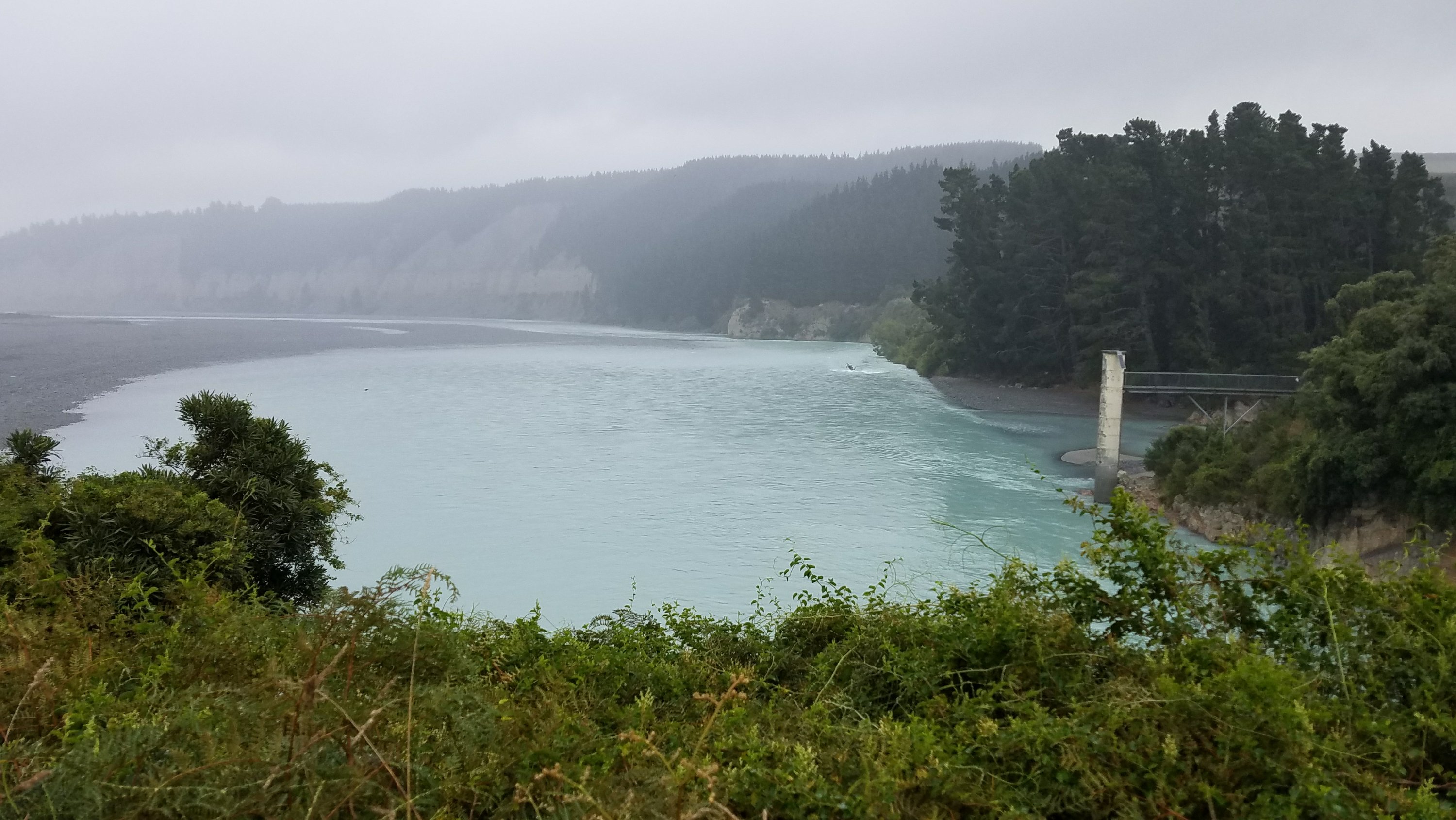
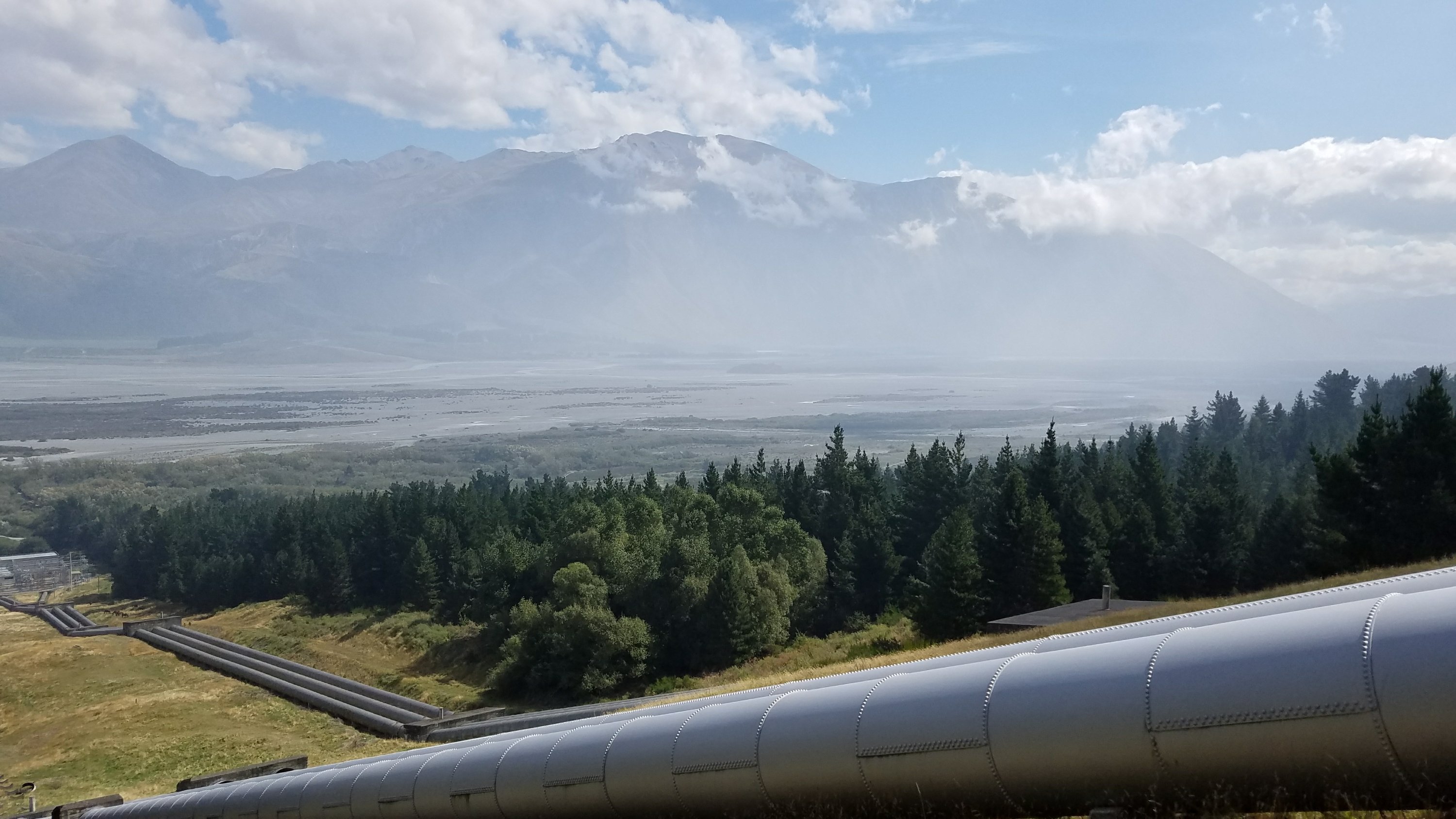 We admired the overlook to the Rataia River Valley, then dropped down to the village. Here the trail officially dead-ends, as it would be a suicide mission to try to cross at this point. It is one of the largest rivers in NZ. Some are able to cross upstream above the confluence with the Wilberforce river, but that supposedly involves a trespass of private land. The hitching/shuttle detour is about 100 kms, just to go 1 km across the river. It’s yet another irregularity of this trail. We needed to get off the trail and into town anyways, before the storm. We pretty quickly got a ride from a local farmer, who took us within 3 kms of the main highway. We walked the rest of the way to the highway in a light drizzle. Less than an hour before, it had been sunny. Now it was quite cold and dreary. We at least got to see the Rakaia river up close where the highway bridge crosses the gorge. It was a BIG, swift, scary river. Great for kayaking but not fording with a backpack.
  The final ride to town came fast, thanks to German Ralph, who even went out of his way to drive into the town and drop me off at the backpacker. There, I found that Bertram had hitched in earlier and reserved us 3 spaces…so nice of him! Anna and Tuomas arrived later and got a double room. So it ended up being just Bertram and me in a 4 person bunk-room…a good thing so we could spread our stuff out. The Snow Denn Lodge gives a great discount to TA walkers and I’ve never been so happy to find a bed to hole up in for the next few days. This storm looks to be a pretty bad one.
We went out for celebratory pizzas and then relaxed by watching a movie in the cozy lounge. The lodge is centrally located in the town, in sight of the 2 grocery stores and takeaway ($10 pizzas!). The lodge even comes with a cute cat, Killer, named such because she bit the owner and gave him blood poisoning, leading to a stroke that almost killed him. But she is actually a sweet cat…all cats just get a bit cranky at times.
So my goal for the next few days is to just eat and stay warm. I’m looking forward to it! Amazingly, after all the walking today, I didn’t even feel that tired. I’m just so relieved to be safe and dry. I hope all my TA friends along the way find safe refuge too.
