Before I get back to the 14er’s, I wanted to provide some highlights from a section hike of the Colorado Trail and a reunios with a Tramily member.
Here’s a quick summary of the hike:
July 18-21, 2020
CT Sections 4-7 (Bailey to Copper Mountain)
Miles: 66
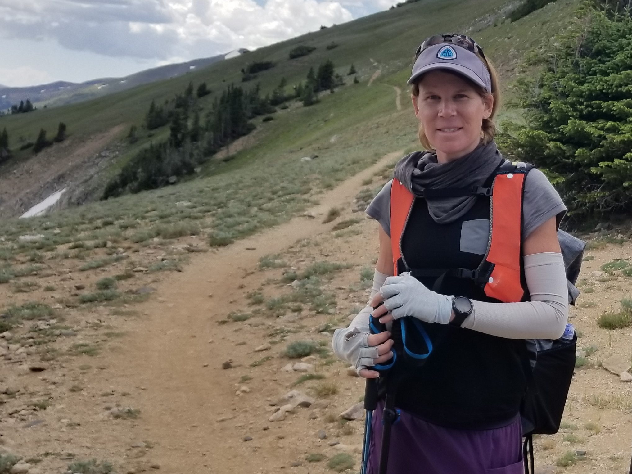
To start this hike, I got a ride from my cousin’s house in Denver to the beginning of CT segment 4 at Rolling Creek Trailhead, outside of Bailey, CO. I was meeting up with my friend YoYo on the Trail, who had come to Colorado to finish the CT. I’d first met him back in 2017, the very first day on the CT. We’d hiked together off and on all the way to Twin Lakes. I hadn’t seen him since then but we’d kept in touch. BTW, he does some great youtube videos…check out his channel!
YoYo had started the CT 2 days prior at the terminus in Waterton Canyon. I had some appointments that prevented me for joining him but we’d agreed to meet later. As planned, I found YoYo at the trailhead, where he’d spent a rough night. The evening before, he’d gone out to hang his bear bag and got turned around (which is very easy to do in the dark). He’d left his phone in his tent so he started doing small circles, trying to do an expanding circle search. He thinks he wondered around for an hour or so, getting pretty worried. But he didn’t panic, using logic and wits when he came across a road to find his way back. He was ok, he just didn’t sleep very well all night, distressed by the experience. It happens to the best of us and I tried to put him at ease, saying I was here now and nothing bad ever happens to me…uhm hrmmmm, well. There’s safety in numbers at least.
I had a similar experience, in daylight no less, on the PCT. I went out a ways to dig a cathole and got confused by the myriad of ski trails when trying to find my way back to the cabin. I had left me phone there. I figured things out pretty quickly but the experience surprised me a bit. Now, every time I take my phone out of my pocket at camp, I think about whether I may still need it. Even if I’m just going to get water, I put my phone back in my pocket. I’ve actually never needed it to navigate back to camp but it gives me some assurance.
We started hiking and shortly were in one of my favorite stretches of the trail, Long Gulch. It’s a big meadow that goes on for miles and is just brilliant on a lovely summer day. We hiked all day, making it 25 miles to Johnson Gulch in Segment 5, just past Rock Creek Trailhead. We had planned to stop about a mile back at Rock Creek but word of Trail Magic at the trailhead made its way to our ears. Some other hikers, camped at the creek, were returning from the bounty. One of the hikers I recognized as Grizzle Gear…another prolific youtuber that I’d seen online. It was cool to run into him.
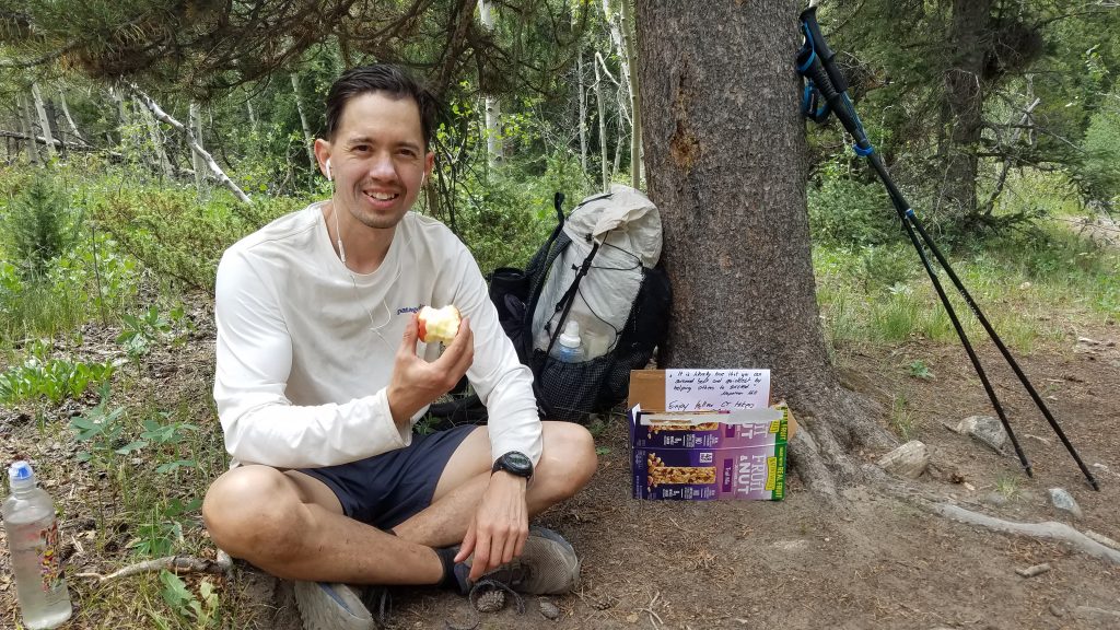
The TM was enough to propel us forward and so we were rewarded with some fruit, soda, beer, and candy from Trail Angel Fatty and her dad. I was surprised to encounter trail magic, given the whole COVID situation and especially since NOT ONCE did we encounter pre-meditated TM on the entire CT in 2017. Now here, in the middle of a pandemic, we found TM 3 times in Segments 5 and 6! It was a weekend, so I guess that had something to do with it. Also, everybody was just tired of being cooped up and wanting to get outside.
We continued our fast pace the next morning, across Kenosha Pass and all the way over Georgia Pass. We stopped to reap more TM in the form of fruit, donuts, and candy. I should clarify, I ate all the junk food and YoYo, being the good hiker that he is, ate only fruit. The weather looked somewhat ominous heading over Georgia Pass but we squeaked by before the rain could catch us.
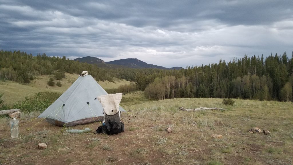
We stopped at the Middle Fork of the Swan River to camp, having hiked 23 miles on this day. I’ve hiked this stretch of trail from Denver to Breckenridge 3 times now, camping at the North Fork the previous 2 times, so it was nice to stay in a different spot. Plus, we meet some really cool hikers, who we hung out with until after 9 am the next morning. We weren’t in a hurry, since we only had about 8 miles to go to make it into Breck. In fact, we took the lazy route and just walked the road out. To our even greater surprise, a guy in a truck drove by and offered us a ride in the back. We didn’t even have thumbs out, figuring hitching wasn’t a possibility. The back of the truck seemed safe enough, so we jumped in, making it to Breck just in time for lunch. YoYo decided to head back to Denver and resume the CT where it begins in the San Juans, so we parted ways. It was so great to be able to hike with him again, if only for a few days!
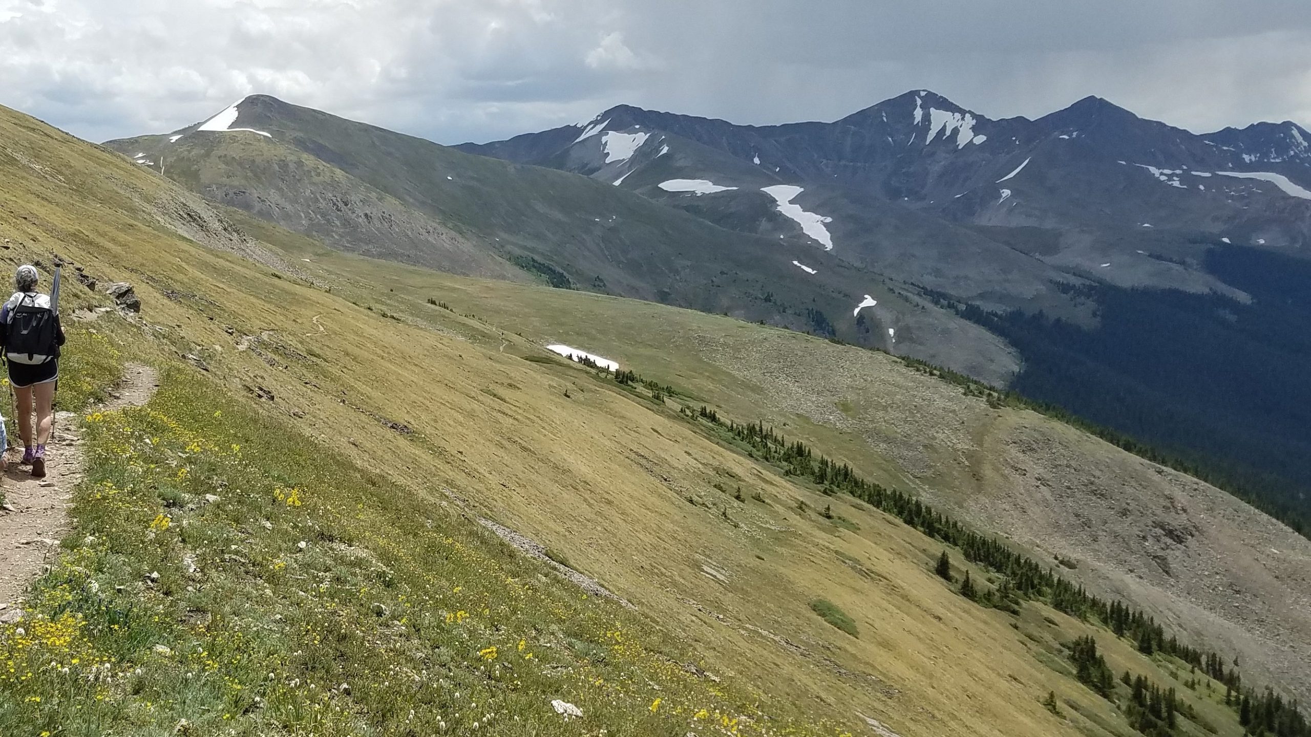
I spent the night in Frisco at the Snowshoe Motel, the cheapest option in the area. The next day, I set off for a day hike of CT/CDT segment 7…a good one for such an endevor. It’s about 15 miles in length, gaining 3600′ to climb over the spectacular ten-mile range. It starts/ends along busy HWY 9, where there is conveniently a bus stop via the free Summit Country bus service. The free bus also services Copper Mountain Resort, which is at the other end. Hikers might be wise to start at that end and work backwards, since the elevation gain is only 3,000′. Either way, it makes for a convenient day hike given the excellent, frequent, and on-time buses.
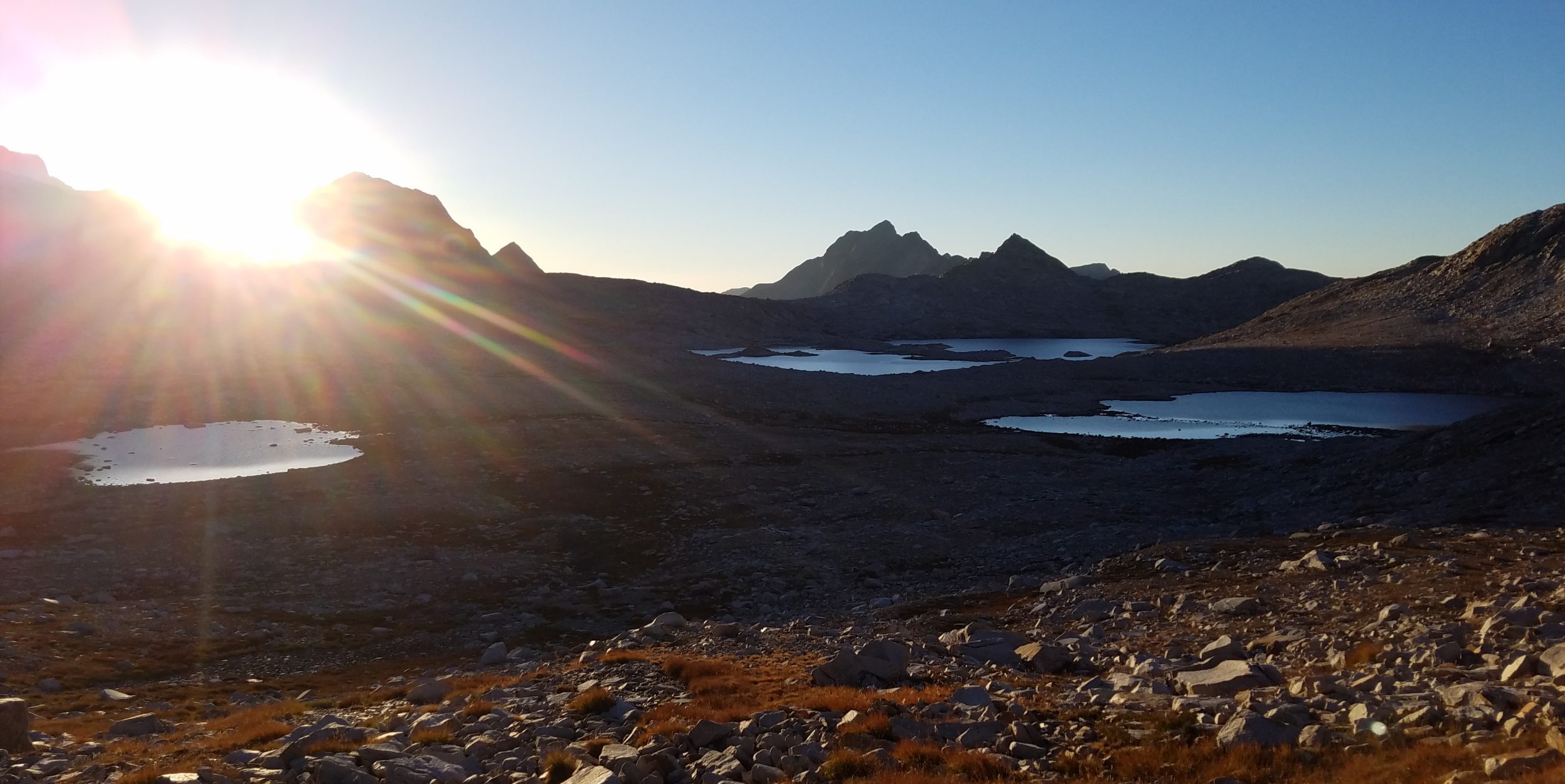
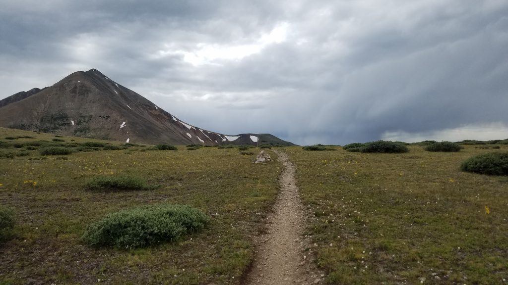
A few miles into the hike, I surprised to see a sign pointing to Frisco. Had I done my research, I would have discovered that several trails lead right from town, bisecting the CT. This would have added quite a few miles to the day but is something to keep in mind for next time. I continued up up up and was soon hiking for several miles above tree-line. The views are epic on this stretch.
As you can see, this could also be a terrible stretch to do in a thunderstorm. On this day, there was a bit of rain around but not much thunder, thank goodness. I had a pretty easy time of it and was shortly back in town, heading towards my next adventure.
Up next: my completion of the “Red Line” of the CDT through CO.