Mon Sept 28th, 2020, 0600-1530
Gleason Brook to Birch Glen Lodge, SOBO LT mile 104.4
15 miles, 6600 gain, 5100 loss
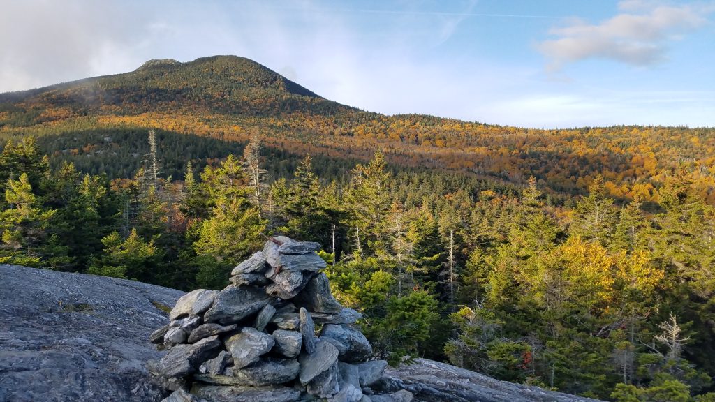
An early start was clutch this day. A huge climb of over 4,000 feet greeted me. I began in the dark and enjoyed the transition into the world of colors. I was shortly on a ridge, where the air was fresh and the day bright. The trail followed solid rock ridges for long stretches, offering clear views among the stunted conifers. It could be hard to find the trail at times… a study in looking for the white hash marks painted directly on the rocks. The colors of the surrounding deciduous forests were astounding.
Camel’s Hump loomed prominently at 4,072′. At times, clouds shrouded the top but other times it was clear. To the north, the clouds moved in thick and nothing could be seen of the big mountains of days past. I didn’t envy the hikers having to negotiate the ladders and rock scrambles on Mt Mansfield.
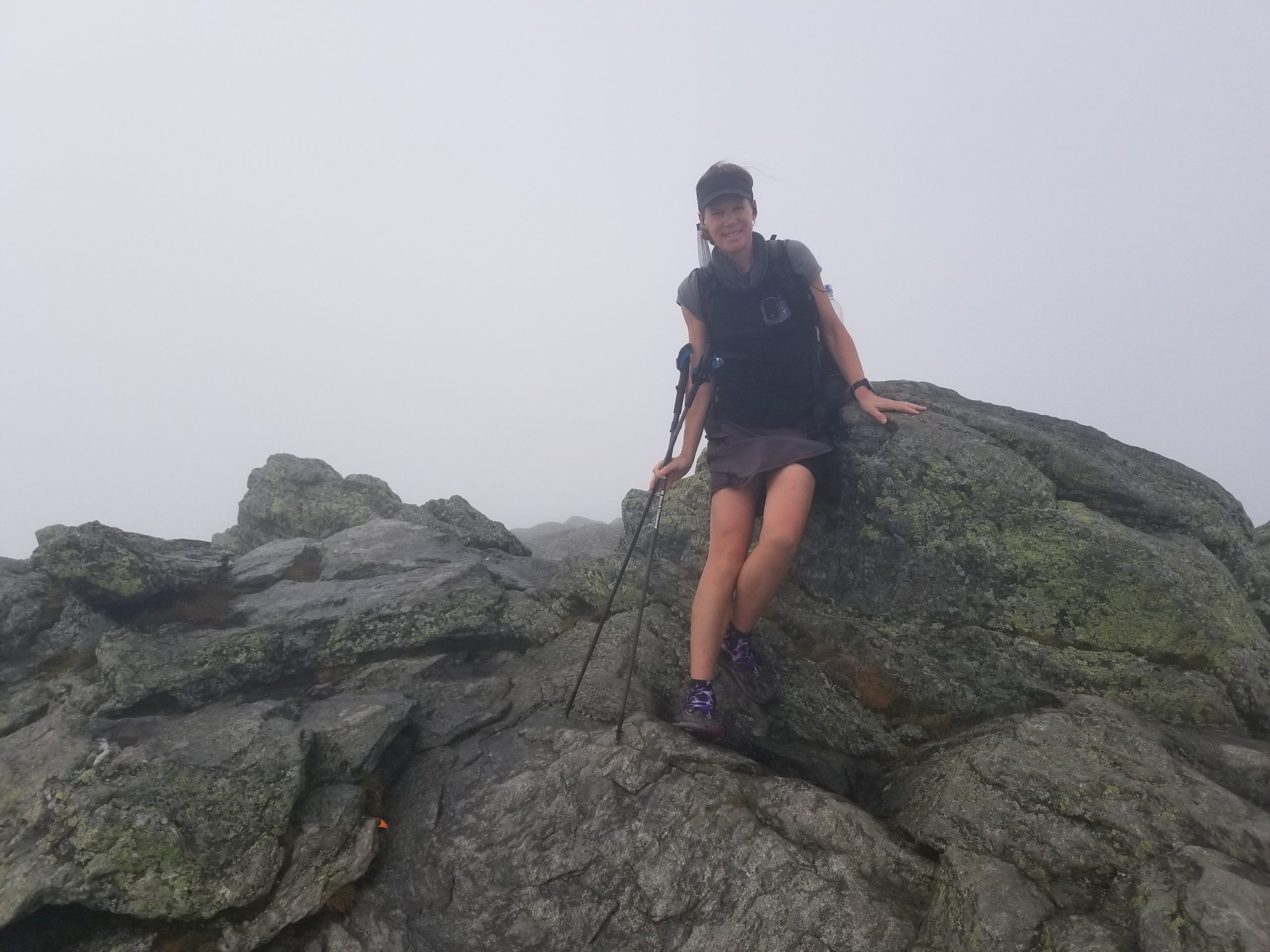
The last half mile to the top was steep, forcing me to stop to catch my breath. Slowly it got darker and I realized my luck had again run out…it was going to be another view-less summit. Like Mt Mansfield, the top was mostly bald with rock and alpine tundra. I hadn’t seen another person all day until a trail runner arrived just as I did. The wind was howling on the exposed summit and the mist was beginning to accumulate on any surface, making the rock treacherously slick. I took quick pictures and scurried down. Then it began to rain. The forecast called for it to start in the afternoon but in reality, it started at 0830 am…what luck, the rain came early! At least I’d gotten over the hump, enjoying a pleasant climb in the morning, thanks to my early start. There were a few more peaks to negotiate the rest of the day, but none so high and exposed.
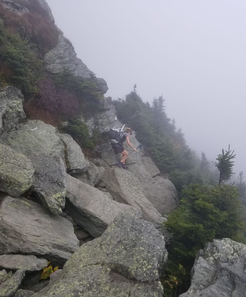
I scrambled down the steep trail to a shelter and took a short break to reconfigure for the rain. I worried that my umbrella was going to be a burden on this rough trail, but I decided to give it a try anyway. It was way too hot for a rain jacket but steady enough rain to need some sort of protection. I also put on my rain skirt to protect from the overgrown vegetation.
For the next few hours, I plodded along a very technical, barely visible trail. It alternated between steep slabs of rock, bogs, tree roots, brush, and back to slippery rock slabs. It was an acrobatic feat, one laborious step at a time. I listened to a podcast recounting Fastest Known Time stories and athletes, which gave me a lot of inspiration as I dealt with my own hardships. I was actually quite happy traveling through the rain and difficult terrain…just a part of the experience.
The trail went over Mount Ethan Allen (again no view) and then Burnt Rock Mountain. Days before, some NOBOs specifically mentioned how the latter would really suck in the rain. It had me worried. The umbrella was catching on a lot of branches, to the point that I had to briefly collapse it several times to fit between trees. But at least it worked to keep me mostly dry. My feet were soaked, as always happens in the rain…there’s no helping that, ever.
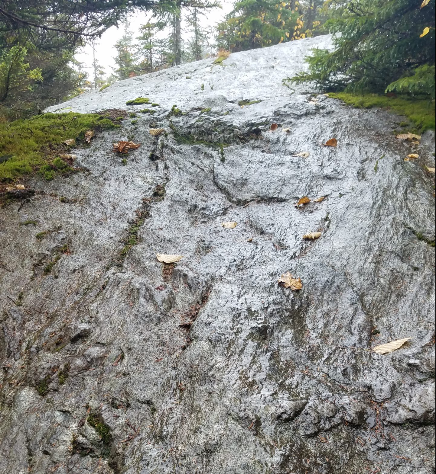
I meet two NOBOs fully clad in rain ponchos/jackets, who looked rather miserable. The ponchos made their packs look ginormous and I wondered how they even fit down the trail, given its many tight spots (I had my own wide load in the form of my brella but at least I could collapse it when need be). They warned me of the tough conditions on Burnt Rock, including a slick metal ladder. By the time I made it there, the rain has stopped and I could put away my rain gear. This made the ladder and subsequent rock climbs pretty manageable. Shortly, I was past the worst of it and took a break to chat with some day hiking ladies. I loved that so many locals said “screw it” when it comes to bad weather, “we’re climbing that mountain anyway!” The ladies commented on my small pack, surprised that I was an End-to-Ender. I couldn’t imagine all the ladders, ledges and class 2-3 scrambles with a big pack! And still, there were plenty of others doing it. Not to mention those with dogs, which had to be carried up/down the ladders.
It began to rain again, just as I made it to a shelter for lunch. TS was there along with Rachel, a trail runner from Waitsfield (our town stop the next day). She gave us some good local advice while I stuffed my face. Rain was forecasted for the next few days, so our game plan was to maximize town time. We’d save money by hiking a shorter day this day and staying in or near a shelter. We’d go into town early the next morning, staying the night, and probably hiking out late Wednesday (100% rain chance all day).
We continued to the next shelter, which was only another 3 miles. We arrived around 3 pm, finding 3 others already set up inside. It was a large 4 sided lodge with a really nice porch and separate sleeping quarters. I needed water and luckily a large puddle had formed in the otherwise dry creekbed nearby…rain has its advantages. Best of all, one of the other hikers was Broken Toe! He was my first trail angel on the PCT in 2018. I’d heard he was hiking the trail north and now I was fortunate to get to spend another night on trail with him. What a wonderful coincidence!
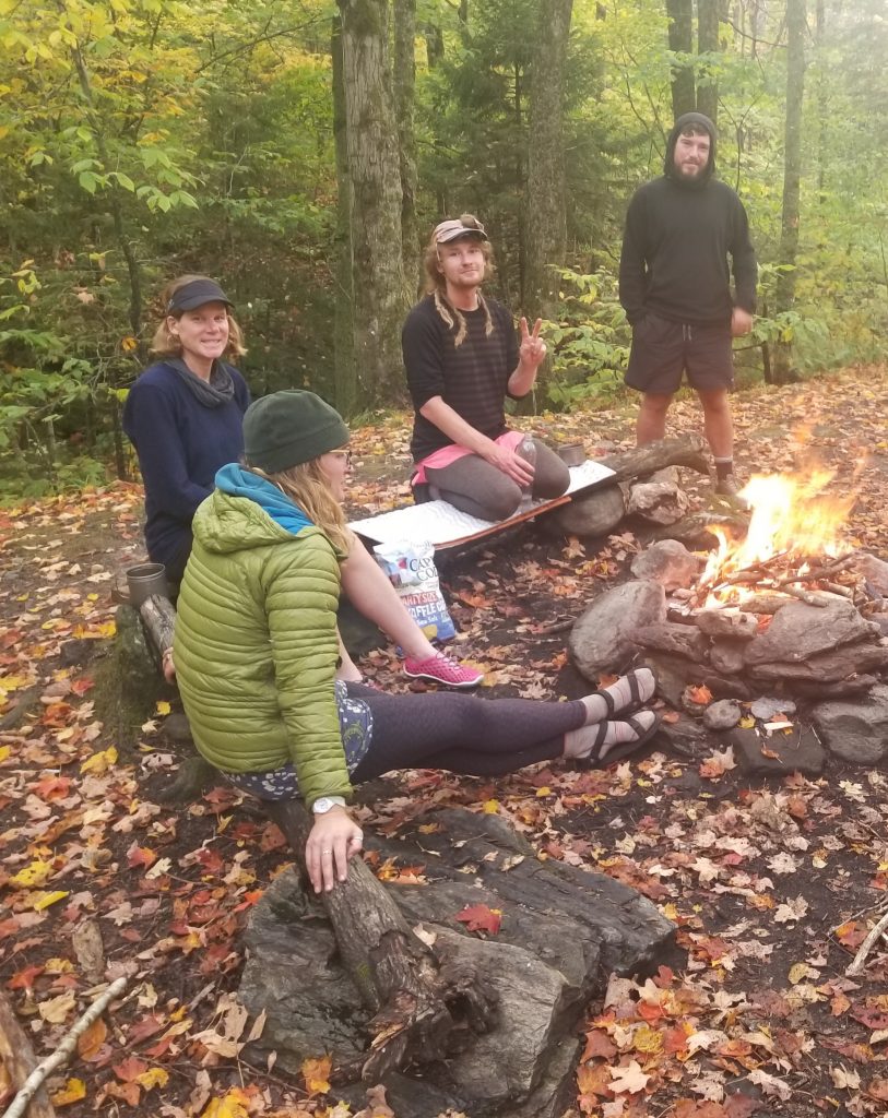
Given the wet conditions, we decide to sleep in the shelter, though I was still a little paranoid about being in close contact with others. Luckily, the airflow was good and there was plenty of room. Broken Toe built a fire (which took skill, given all the wet fuel) and we hung out amongst its comforting glow. A barred owl landed on a branch just above us, inspecting our work. No doubt she was attracted to the shelter by the prospect of dinner…shelters attract an ample supply of rodents. A warm, dry cabin in the woods with a campfire, surrounded by nature and in the company of old and new friends was a great ending to a fun but challenging day.
