October 21st, 2019
East Verde River mm 350.2 to Mazatzal Ridge mm 381.3
Distance in miles: 31.1
0615-1810
It was so cold when I woke. The elevation was only 3300′ but moist air settled into the valley overnight. There was even a tiny bit of condensation on my tent. I warmed up quickly as I begin to climb. A distance of 31 miles was to add up to over 10,000′ in elevation gain, according to my app. I thought I was up for the challenge.
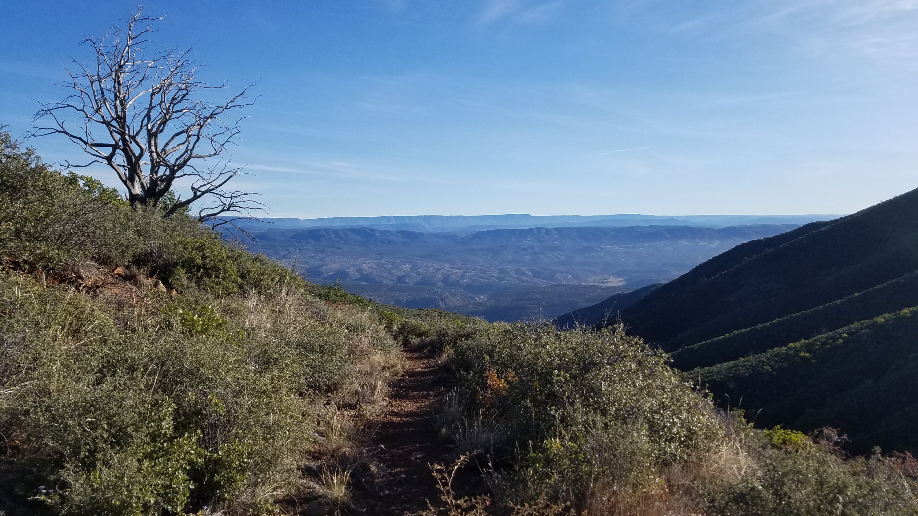
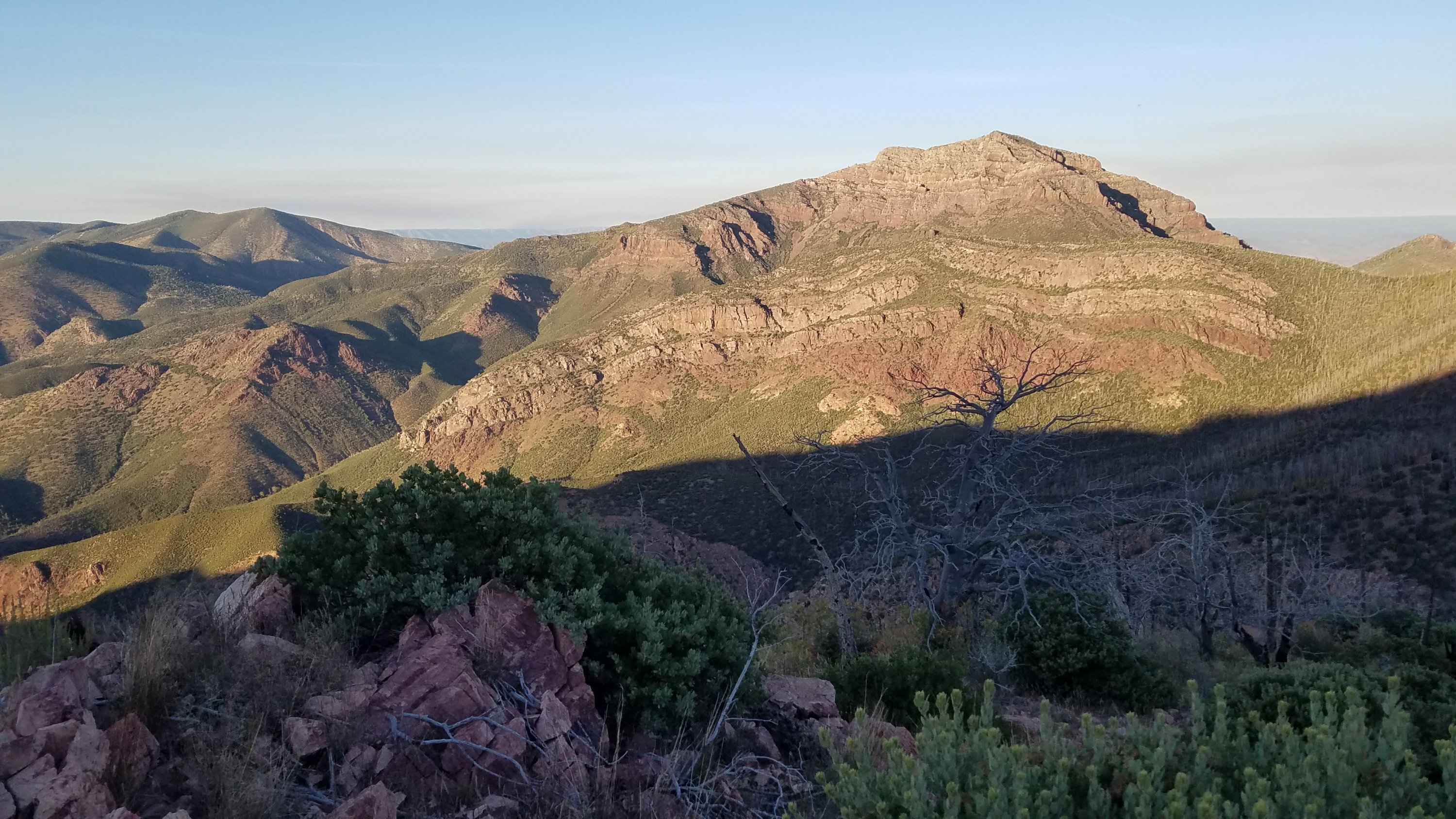
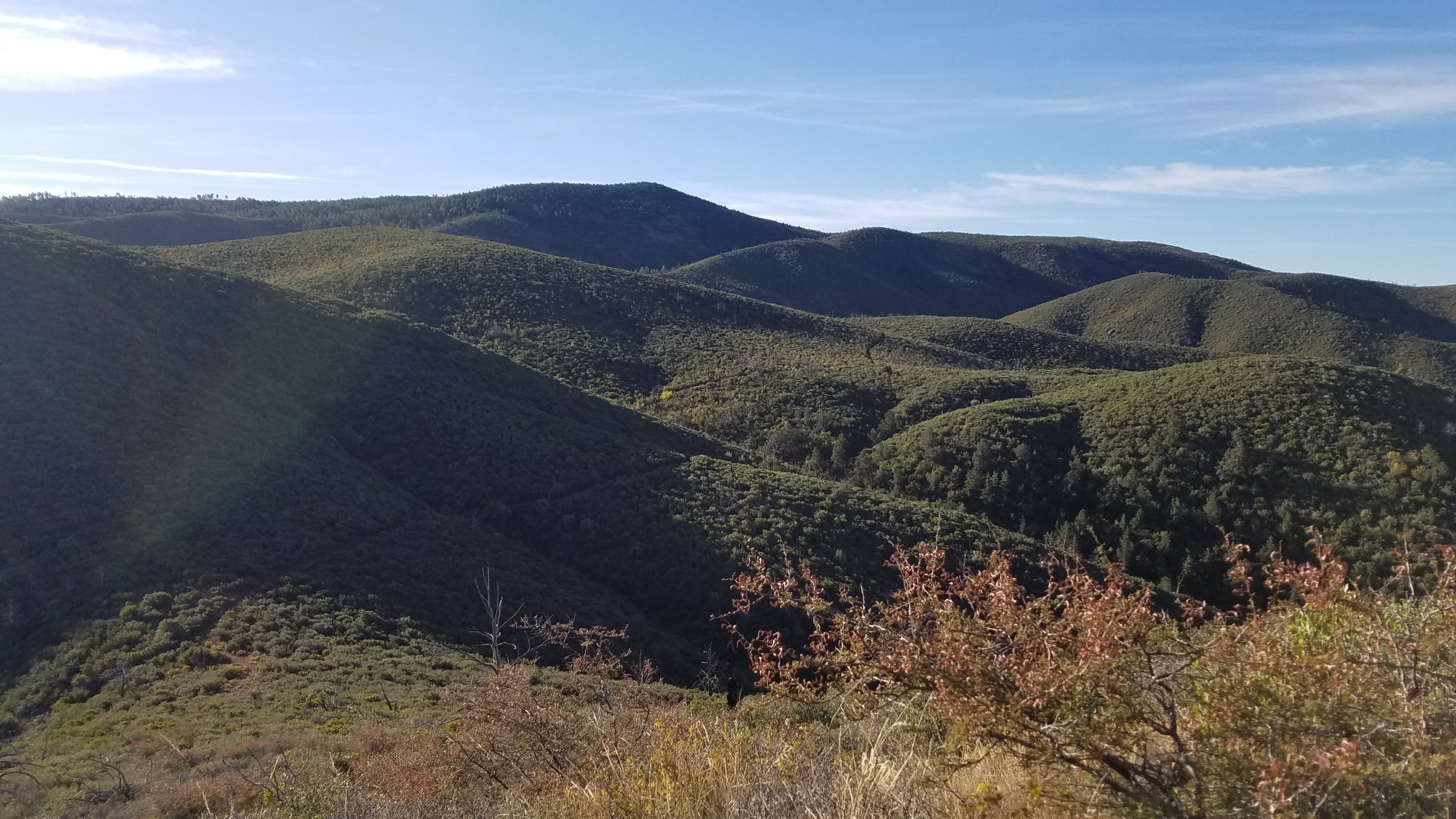
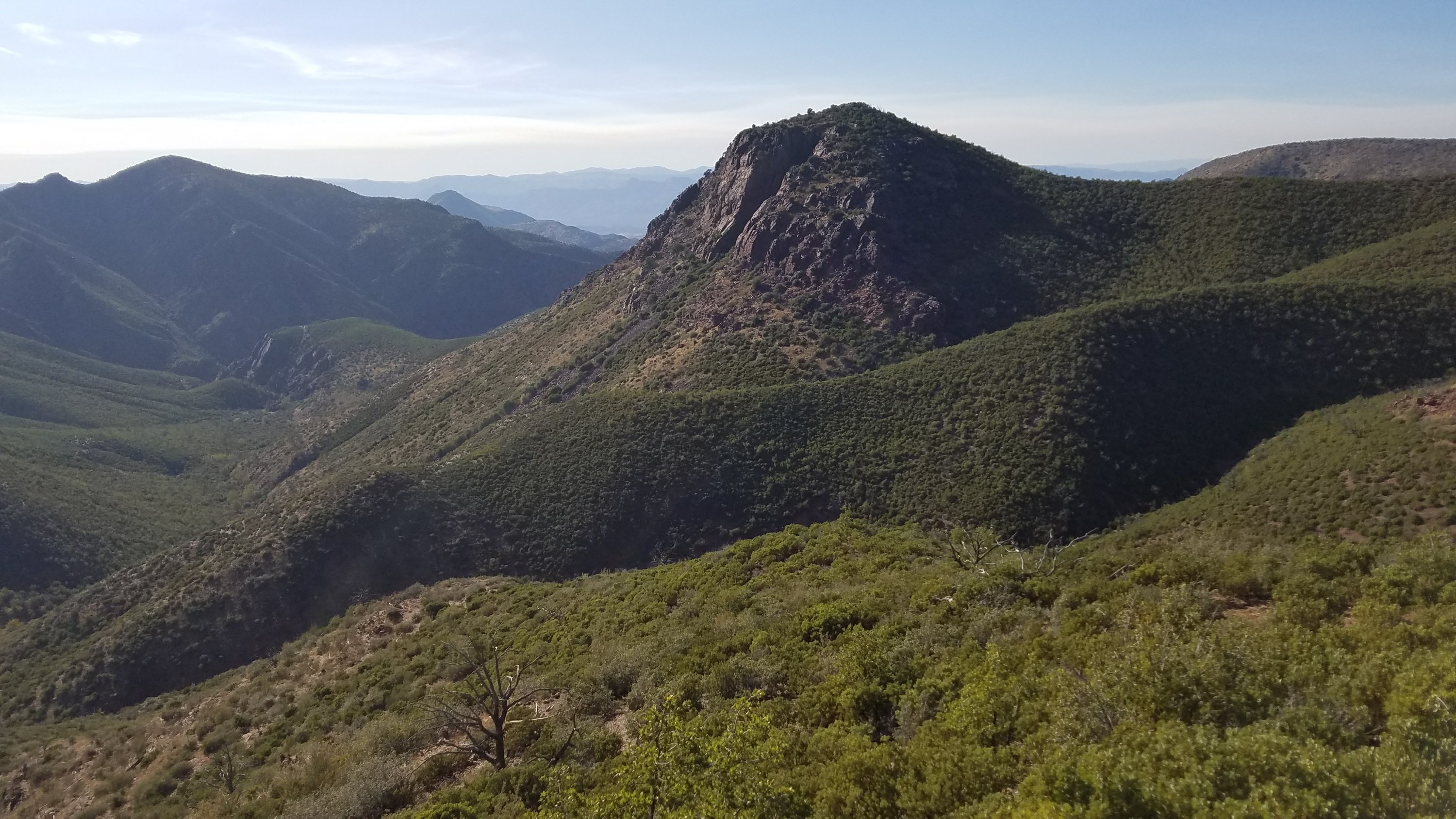
I was headed into the Mazatzal mountains, a range that is notoriously rugged and remote. The trail wound up to the ridges and did a roller-coaster effect as it went from peak to peak. I actually enjoy all the ups and downs, feeling like I was back on the CDT. The views were great. I could see back to the Mogollon Rim and even the San Francisco Peaks… that is until they become obscured by smoke. The trail was a bit overgrown with cats claw in places. I pushed through some and saw blood on my leg…but it wasn’t my blood! It must have come from some other hiker or animal that was just ahead of me.
The were not many water sources in these dry mountains. I passed some puddles in a few creeks…they flow in the springtime but not after such a dry summer. I carried water to last me 22 miles until mid afternoon and then stopped at the best source all day, a trough feed by a spring. I collected water for the rest of the day and night (about 3 liters). I didn’t have much food, so I didn’t mind the weight.
In another 6 miles, I came to an off-trail spring junction to Bear Springs. Three SOBOs were there, resting on their packs. They were part of a bubble that started on Oct 1st. I made up almost week on them, but who’s counting. As for bears, I saw lots of poop all day but no live bears. I continued, having just one more climb, the highest point at 7200′. I was pretty tired by this juncture and running out of daylight.
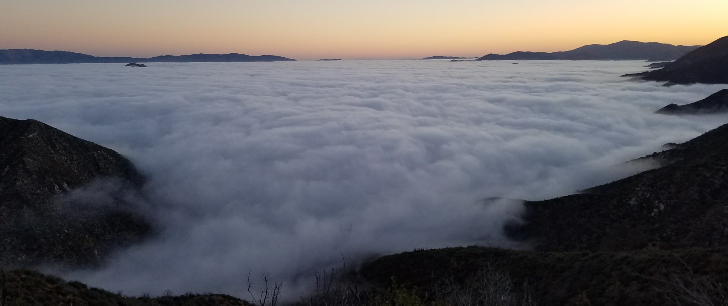
I came to a saddle where the notes implied there was a campsite. There was just room enough for one tent but very exposed, so I moved onto the next saddle, where I found a passable spot in the dark. Several GH owls were hooting, which I took as a good sign. The bright orange glow on the horizon faded and I saw all the city lights come alive. I think I could see all the way to Phoenix, or at least Scottsdale. Many planes were flying around, some at my level. It was a good, hard day and I looked forward to visiting Jon and Laurel the next day.