Everyone knows that a long-distance trail is one-directional, from north to south, right?
WRONG!
Where and when this concept took root, I can’t say. I also can’t tell you how many times I’ve been informed by well-meaning northbounders (NOBOs) that I was hiking the ‘wrong way’ or ‘backwards’. That’s all fine with me, as I’ve always had a penchant for being different and ‘going against the grain.’ Besides, southbounding the 3 Triple Crown trails has many advantages, namely fewer crowds and less competition for trail town resources. SOBOs also just rock.
I didn’t start out going the wrong way on my first 2 trails, the Colorado Trail and Te Araroa. Both have some valid reasons for having a ‘more easier’ direction from north to south. Starting from Durango on the Colorado Trail means that hikers hit an elevation over 12,000′ on their first or second day, versus working up to it over the course of a week when starting at the northern terminus. Altitude sickness can be a life-threatening condition, so it’s best to acclimate on the Denver end.
Te Araroa actually incorporates a river trail as part of the official route, so paddling against the current would be tasking, while skipping the river section or flip-flopping to paddle downstream involves a lot of logistical problems. But there are still plenty of people that do these 2 trails northbound, finding ways around these barriers.
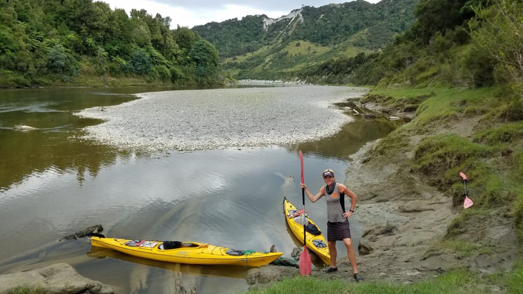
While hiking trails are multi-directional, river trails tend to be one-way for obvious reasons. Incorporate a river trail as part of a long-distance hiking trail, such as Te Araroa, then there’s good reason to hike a certain direction.
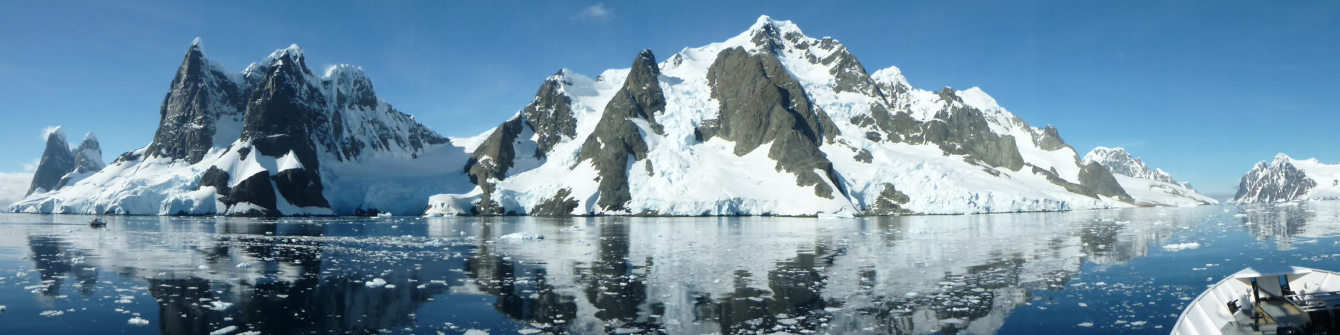
Difficulty and a longer weather window are the 2 most common reasons listed for hiking any of the Triple Crown trails from south to north. This certainly holds true for the AT and PCT, though I would argue that the CDT is difficult from either end and makes much more sense as a southbound trail, due to late snow levels in the San Juans. I’m partial to enjoying Colorado during the best weather months, with no postholing: August-September.
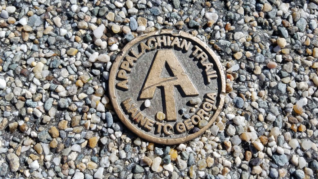
But did you know that the AT is officially described as a southbound trail? While only around 10-15% of AT thru-hikers travel from north to south, original concepts surrounding the creation of the trail designated it so. When Benton MacKaye released his proposal for an Appalachian Trail, he marked the starting point as Mt. Katahdin. According to MacKaye: “The beginnings of an Appalachian trail already exist. They have been established for several years — in various localities along the line. Especially good work in trail building has been accomplished by the Appalachian Mountain Club in the White Mountains of New Hampshire and by the Green Mountain Club in Vermont. The latter association has already built the “Long Trail” for 210 miles through the Green Mountains — four-fifths of the distance from the Massachusetts line to the Canadian. Here is a project that will logically be extended.”
That’s why the AT logo states: Maine to Georgia. I think I’ll make this picture my phone’s home screen, to flash at NOBOs when they want to tell me I’m going the ‘wrong way’.
Are there disadvantages to going southbound on the AT? Absolutely yes!
Most significantly, the worst thing about starting the AT at it’s northern terminus is the difficulty. The very first day involves summiting Mt Katahdin…while not the highest peak on the trail, it’s considered to be the toughest climb, with lots of boulder scrambling and finicky weather. I’ve heard several reports of SOBOs taking 12-24 hours to hike the 4000′ elevation gain and 10 miles round trip. This is a beast of a first day.
Then immediately comes the 100 mile wilderness, which can be a real killer for newly-hatched thru-hikers. From Abol bridge campground (at the edge of Baxter State Park, last place to buy snacks) to Monson, there are only a few dirt road crossings and limited cell service. Most SOBOs are looking at around a 10-day food carry and that’s a lot! There’s even a sign at both ends of the 100 mile wilderness, warning hikers to carry this much at a minimum. Many SOBOs opt for a $35 food cache halfway, provided by the AT Lodge in Millinocket. This is a good deal and wise decision, but as I hope to at least average 20 miles/day at the beginning, making it to Monson in 5 days, I shouldn’t need a cache.
Perhaps I’m not being conservative enough about the 100 mile wilderness…it certainly worries me. But I’ve also earned a certain degree of confidence. I’ve done numerous 5 or 6 day sections that were just as hard (and even longer). A few that come to mind are the Bob Marshall wilderness of the CDT, the Winds, the Colorado CDT section from Grand Lake to Breckenridge, the San Juans, the PCT’s Glacier Peak Wilderness, the Sierra, the Richmonds of Te Araroa, and several long/remote sections on the GET. Five days of food can be heavy but since I won’t be as hungry starting out, I don’t need as much as normal. Plus, I won’t need to carry hardly any water, with lakes and streams being so plentiful…a welcomed reprieve after just having hiked the GET. A lighter base weight should feel pretty good by day 3 or 4, allowing for some big miles!
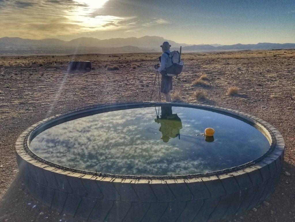
Big food and water carries became rather commonplace in the southwest.
Maine and New Hampshire are hands-down the hardest states on the AT. The Bigelows and Whites are the mountain ranges most notorious for their ruggedness. But I’m fairly confident I know what I’m in for in these areas, having survived similarly rugged mountains on the Long Trail in Vermont. By the time I reach these ranges, I should have my trail legs under me. Muscle memory from my other hikes helps me get back in shape pretty quick. Another way to look at it, I’m getting the hardest part done with first. The rest will be smooth sailing (yeah right).
Another disadvantage of hiking SOBO is a shorter weather window (June-December?), although I don’t consider this to be as significant of a factor for the AT as it is for the PCT and CDT. I’ve already hiked the southernmost 150 miles in late October and thought the weather was perfect during this time. Going through the Smokies in late November or December might be pushing it, as these are the highest mountains on the trail, but I hope to be through them before this.
One more downside of hiking southbound is that trail magic is less frequent. While this is unfortunate, I feel that my interactions with trail angels are of better quality because they aren’t being mobbed by as many thru-hikers. I get a chance to talk to them one-on-one, asking them why they do what they do and letting them know how appreciative I am.
And finally, as this only pertains to southbound hiking on the East Coast: hurricanes. It’s a very good chance that my thru-hike is going to be impacted by one or several. This is a chance that NOBOs could face too, just maybe not as much. As there’s nothing I can do about it, I’m not going to sweat it. At least wildfires aren’t as much of a threat as they are in the west…but they certainly can be present in the late summer and early fall. Hurricanes will tend to rule out wildfires but here’s hoping there are neither.
What are the advantages of hiking the AT southbound?
Avoiding the bugs! I got Lyme disease when I was going to college in Connecticut. I really don’t want to deal with it again. While ticks are active all year round, they’re most active in the spring and summer. The spring nymph-stage is the one to really avoid…they’re so small that they’re almost impossible to see. By getting a late start, I hope to bypass the worst of these awful suckers. I also hope that the black flies and skeeters will have died down some in Maine. This is actually a big problem for most southbounders…I’m of the extreme exception starting at the end of July. Hopefully by the end of August, all the bugs will at least be down to tolerable levels. September-November should be even better.
Avoiding the crowds. This is a really big deal this year. Like everywhere else in the US, the AT has seen record numbers in the post-COVID lockdown era. Everyone wants to get outside and see the world already. I can’t blame them but I can at least avoid the 85% in the northbound traffic pattern. Yes, I’ll be running into a lot of these hikers…which I actually view as a fun diversion. Some are friends that I’ve met on other trails, so it will be interesting to see who’s around the next bend. At least they’ll be more distilled and spread-out by the time they reach New England. Campsites will be crowded for a bit but I’m also a pro stealth camper, I can always find space. Just so long as people follow the uphill/downhill right-of-way theory (yeah right), we’ll all get along fine.
I’m sure by the end of the AT, if I make it there, I’ll have more to add to this discussion. Until then, Maine to Georgia, Southbound HO!