Saturday Apr 16th 2022, 0600-1830
Pine to canyon near La Cienega canyon, EABO mm 167, Segment 3 mm 28.
28 miles.
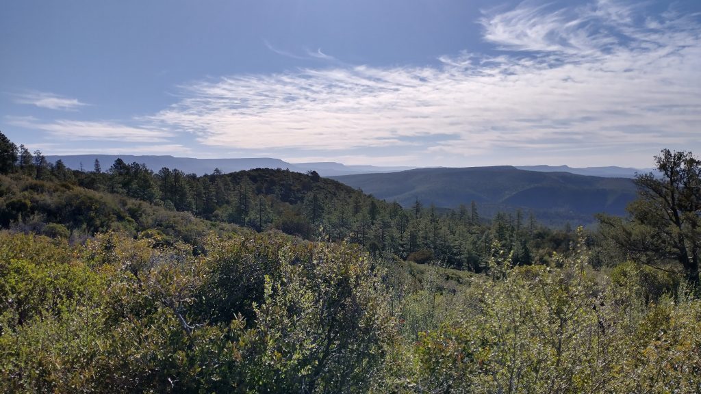
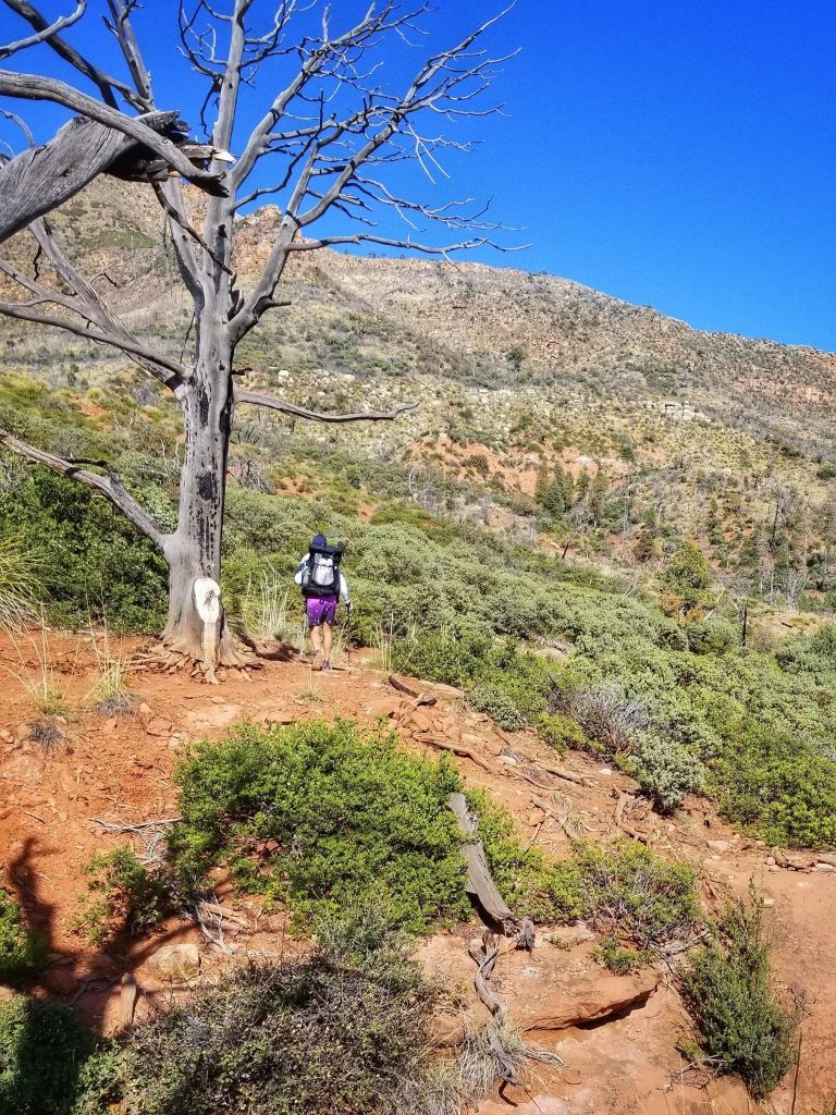
I slept pretty well despite all the highway noise, as well as that from a nearby dog farm? Seriously, it sounded like a hundred dogs barking all at once. It was nice to have a long-drop to use at the trailhead in the early morning. It gave me a fresh start to the day…it’s the little things, you know? I was off early, first to sign in at the register. I noted that around 10 to 15 AZT hikers had signed in each of the preceding days. That’s a whole lot more than when I hiked the trail. I wondered if I’d catch up to any from the previous day. I began winding my way along the familiar trail, enjoying views of the everlasting and prominent rim and the Mazatzals range stretching towards the south. The essence of the Mogollon Rim Trail is represented best by this section of trail…or at least in my opinion.
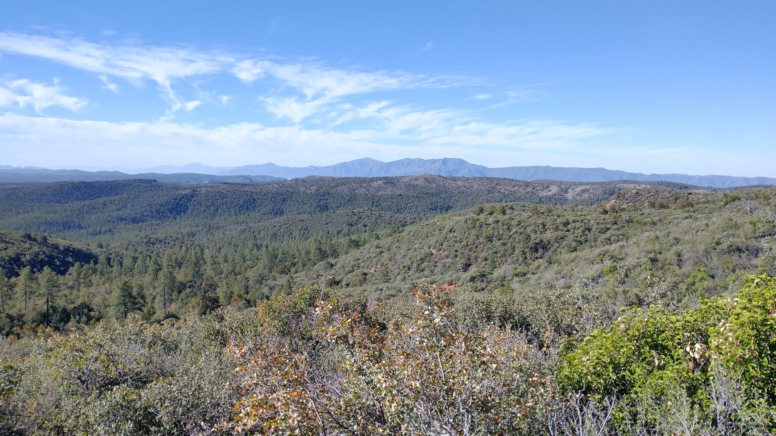
It warmed up quickly this day. I was in my full sun attire by 8 am. The trail alternated between sparse juniper / manzanita habitats to more mature ponderosa pine forests. Fires have created a mosaic of successional landscapes. Here at the base of the Rim, a hiker enjoys the ins and outs of many a side canyon, each with its promise of a flowing creek. I passed by several in the morning, holding out for my lunch break at the East Verde. This creek marked the divergence of the AZT and Highline Trail. They share the western 18 miles. I’d met 3 AZT section hikers during this time but failed to catch up with a woman I’d first met in Monson ME. She was my shuttle driver at Shaw’s Hostel on the AT and later I met her again at the kick-off party for the Florida Trail in January. I knew she was hiking the AZT and just missed coinciding with her by half a day. Until next time Nugs.
A number of people meandered by as I ate my lunch, day hikers coming from a nearby car park. Once I hit the eastern part of the Highline trail, I didn’t expect to see too many others. The trail continued its meandering along the base of the rim (it does so for 57 miles), and I continued to enjoy well-built tread and constant markers.
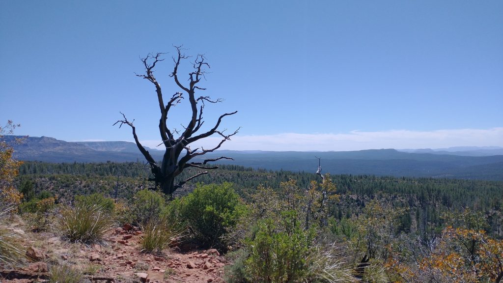
Towards the end of the day, the trail definitely deteriorated. The middle section sees the least use and has also suffered from intense fires. The original Highline route was used to connect 1800s ranches and homesteads along the rim. Some of it still exists as very rough 2-track road and other parts barely exist at all. Wherever creeks intersected, there was a lot of trail erosion…to the point that it was hard to locate the trail on the other side. Lucky for me, 2 intrepid trail running ladies had just come through, marking all the intersections with flagging tape. I ran into them on their way back and they explained that they were preparing the trail for an ultra marathon the following weekend (and also pointed out that they would promptly remove the tape after the race, so please don’t disturb it). I just had to follow their markers in the tricky places.
As I walked along the rocky 2-track at the end of the day, I detested the idea of running on such tread. Another thing to watch out for were pieces of rebar sticking up from the ground. They originally held wood steps and water bars in place but as the wood rotted or burned away, these rebar daggers were all that remained…yikes! No long-distance trail running on the Highline Trail for me, thank you.
A somewhat exposed camp was made among some small ponderosa and juniper. I was very tired but it was a pretty chill day considering the number of miles I hiked. I was alone most of the day, given that navigation was such a cinch. More to look forward to the next day.