Sunday Apr 4th, 2021, 0600-1900
Pigeon Creek to New Mexico Border Seg 18, mm 331.5
24 miles
We made camp in a wash after reaching a graded service road the night before. We passed one guy car camping but saw no one else the rest of this day. We got another early start and decided to make it easy on ourselves by just following the service road all the way to the Blue River. The official route left the nice road for some more cross country stuff. After the previous day, I needed a little break. Plus, anticipating a dry stretch of up to 25 miles, we planned to carry water from the river to last us the rest of the day and next morning. The seemingly rough route coming up from the river did not serve these plans very well.
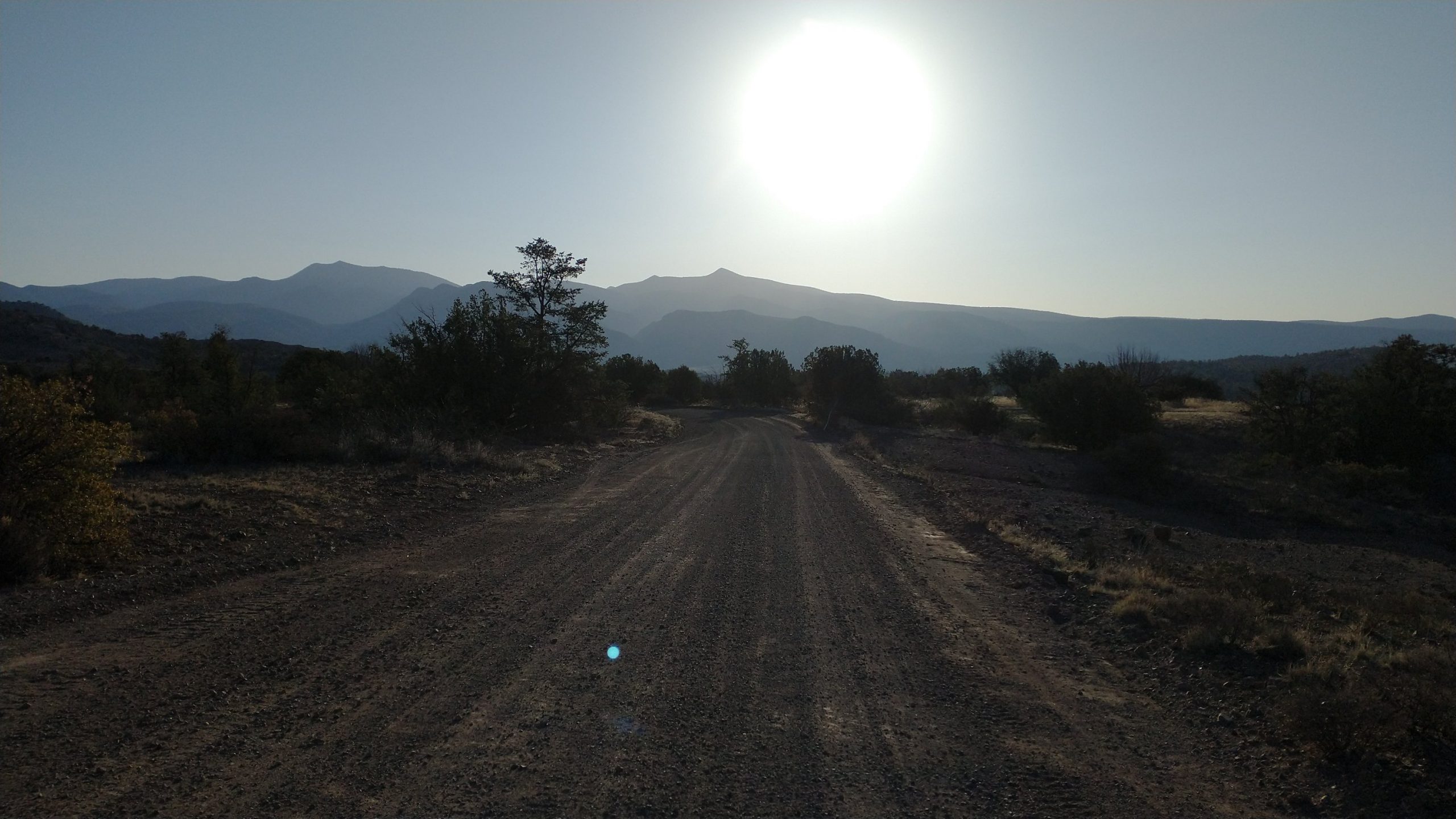
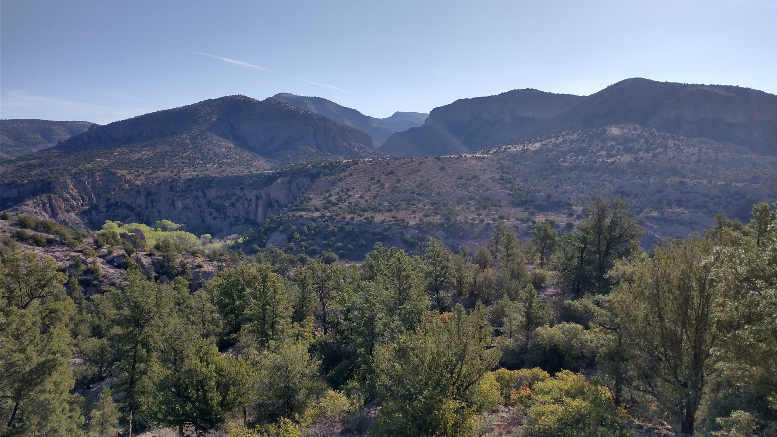
I don’t know how much great scenery we might have missed, but the road walk was plenty scenic too. And given the ease, we had the luxury to look around while we walked. As dirt roads go, it was perfect… smooth, soft, and not much gravel. Also not one car.
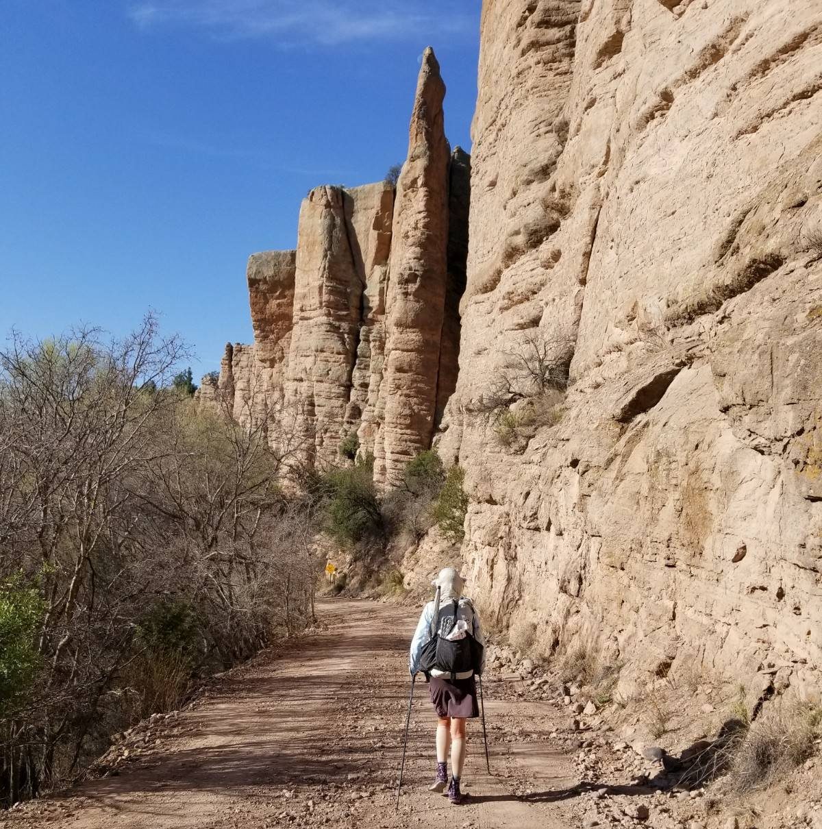
We took a long break at the river, catching up on some hygiene and tanking up on water. As a final measure, we dunked ourselves and clothes. The afforded coolness lasted only about half an hour on the remaining road walk but I’d take what I can get. Then we were once again at a trailhead, nervous about an all-afternoon climb and reportedly rough trail. I was actually pleasantly surprised by how good of condition the trail was in, at least for the first 5 miles or so. We passed 2 water sources which were both small mucky puddles, so we were glad we collected from the river.
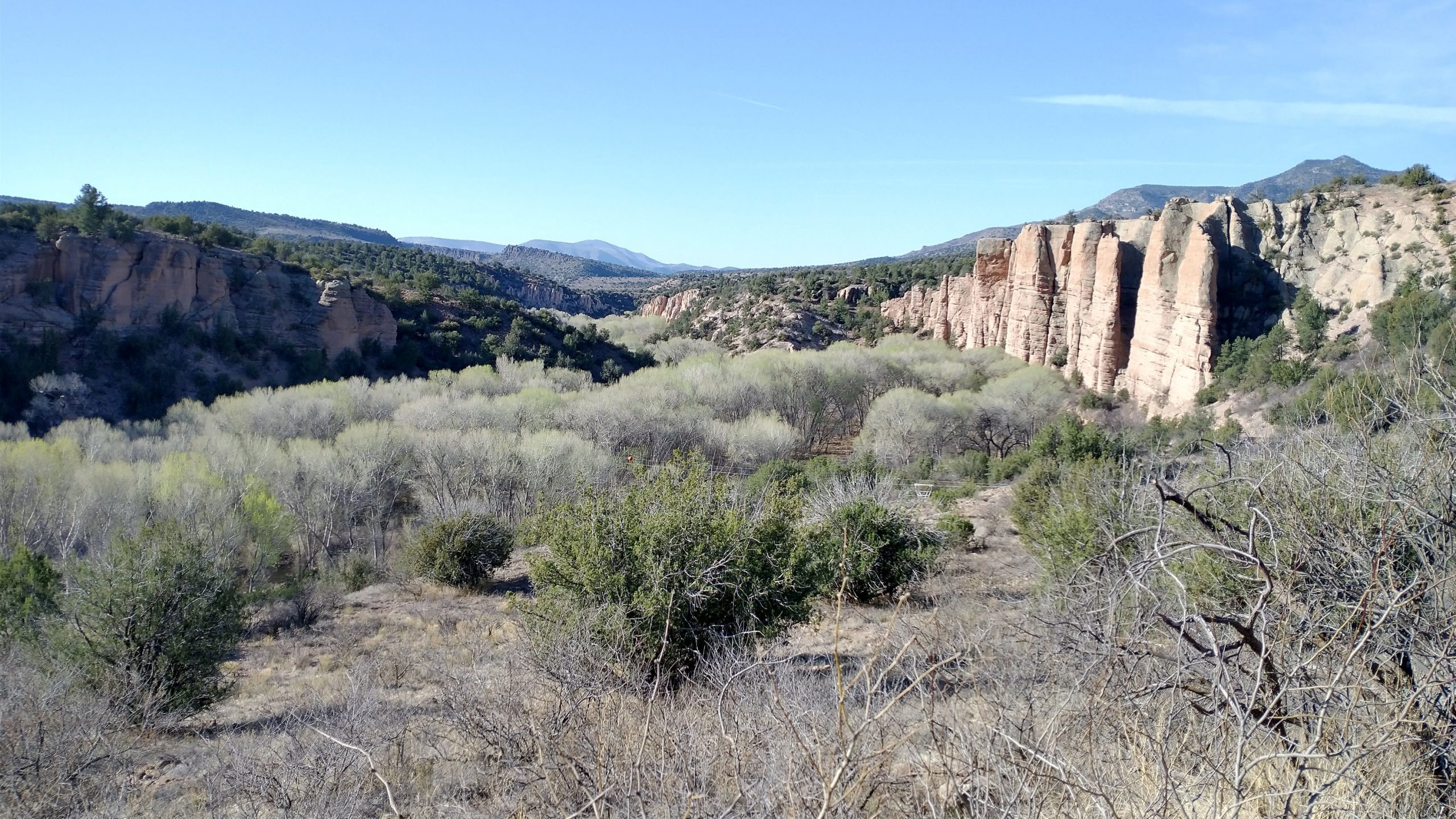
The final climb to the top of Maple Peak was arduous to say the least…as Buck30 (my favorite trail blogger) put it, the GET quadruple: steep, overgrown, vague and rocky. Did I mention hot too? I had to conserve my gallon of water since I was already down a liter. This was our driest section yet.
We did some peakfinding at the top. I was excited to see some familiar landmarks in New Mexico. Like Magnus Peak…I hiked to the top and up into the fire tower while on the CDT. I could also see the Burro mountains above Silver City. We were so close to the NM border at this point…our cell phones had already locked onto towers and sprang an hour forward.
We began a rugged descent through brambles and scant trail. Then came a lava rock road that tested the fiber of my ankles and knees. It was like pavement, only with roller rocks. Suddenly a green trough appeared at roadside, full to the brim with water. What a surprise. The water looked a little gross but a float switch valve delivered clean water from the spigot, coming from a nearby storage tank. We didn’t see a well, so we suspected the rancher had to bring the water up via truckload. We each topped off, now having plenty to last us to town the next day. Wish we had known about this source because it would have saved us the heavy carry. On the other hand, I was glad I had the water all day. It allowed me to enjoy the trail more from not stressing.
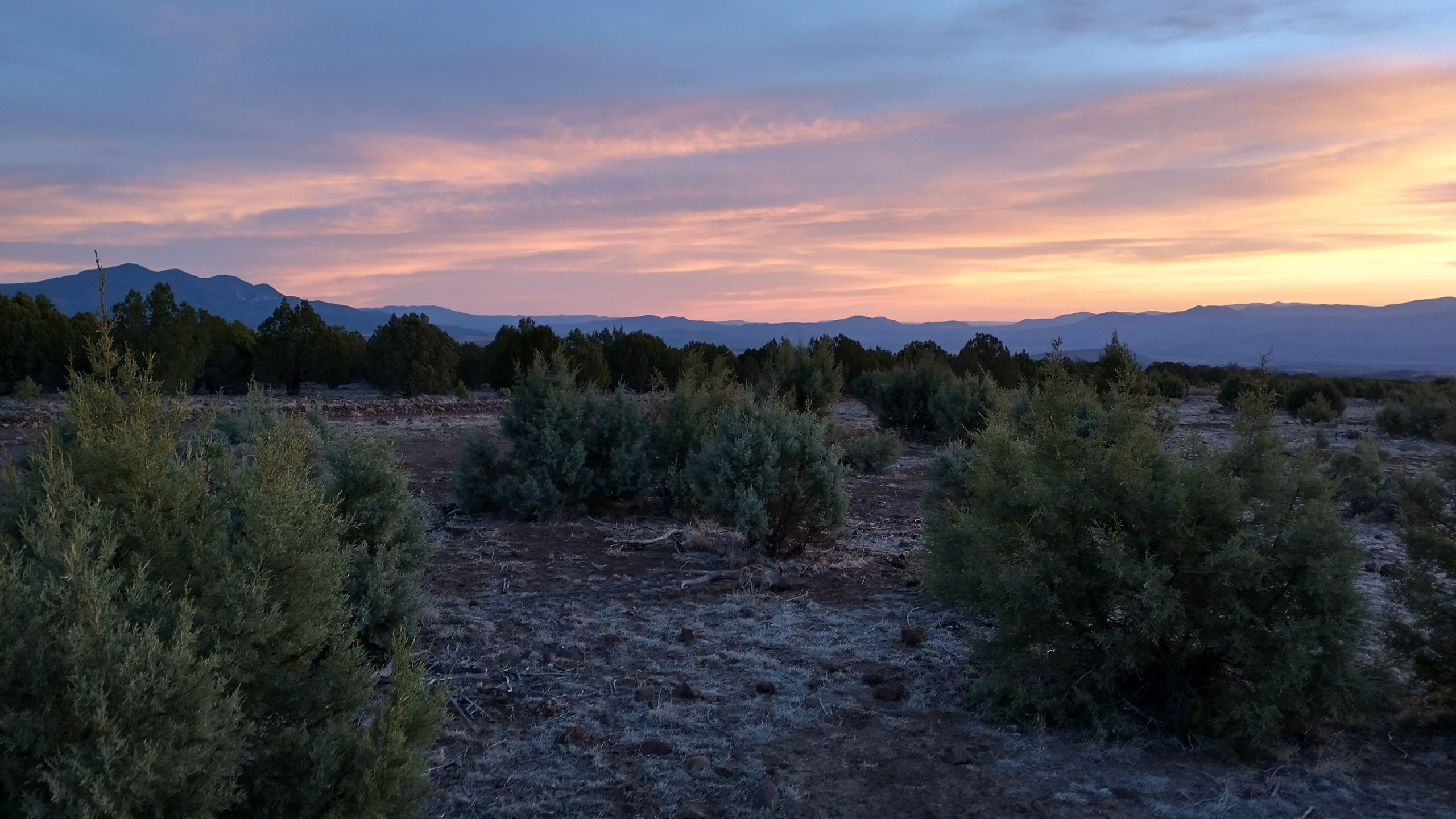
We made it to the border and set up camp nearby. It was a warm, pleasant night. I couldn’t get over how dark the sky was towards NM. There wasn’t a glow from a town anywhere to be seen. It made for some amazing star gazing.