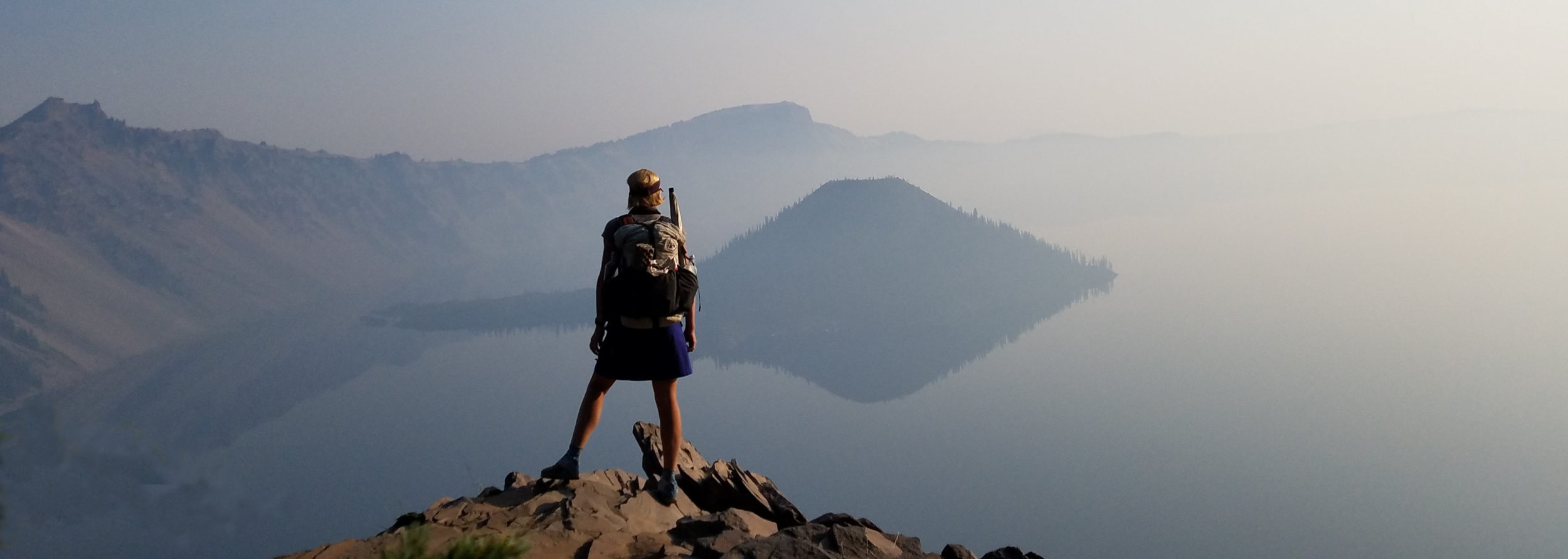
October 8th, 2019
Orderville Trailhead mm 27 to mm 60.1
Distance in miles: 33.1
0545-1800
I got on the trail super early and walked by the light of my headlamp for a bit. Without Daylight Savings Time, I needed to take advantage of the daylight in the morning. Fine by me, since I usually like getting an early start. Except that this morning was very cold and I couldn’t seem to warm up as I walked. I started out wearing all my layers, including my puffy and mitts. I walked uphill in a small valley which was effectively trapping the cold air. The first rays of sun didn’t hit until 8 am and I suffered up to that point. Once they did, it became very pleasant. I think my poor body was just tired of being so cold. I lost all my body fat a long time ago, so I had no insulation save for what I was wearing.
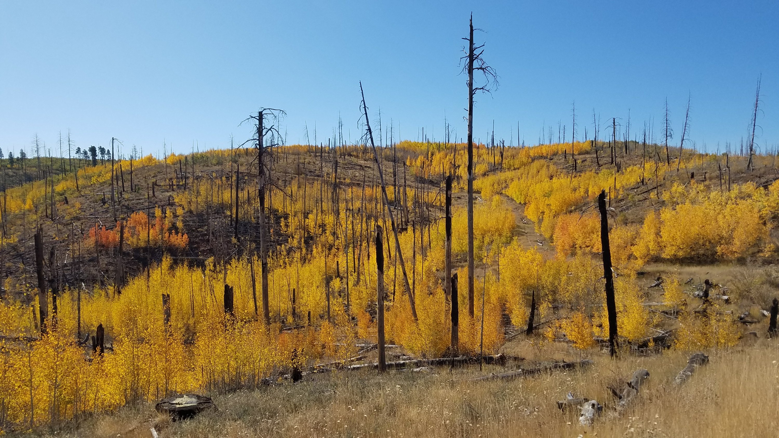
I came to a trailhead with another water cache. I took only half a liter since I had quite a bit still left. I entered a burn area, paralleling the road that goes to the north rim of the Grand Canyon. Small aspen had grown in, which made it one of the most beautiful burn areas I’ve ever seen. I was too early for the aspen to be turning in Colorado but here in Arizona, they were bright gold and red.
I met 5 NOBOs in this stretch, but many were just doing section hikes. I came to another water cache just in time for lunch. I felt spoiled having all this water that I didn’t even have to filter. Some hikers stash their own water, bringing extra for public use. Trail angels also stock the caches. So far, I’d only had to use tank or trough water once. The troughs were rain-water collectors, as there are few natural sources on the Kaibab plateau. Later in the afternoon, I passed the first couple ponds. They didn’t look too bad but I was not in need of water at the time.
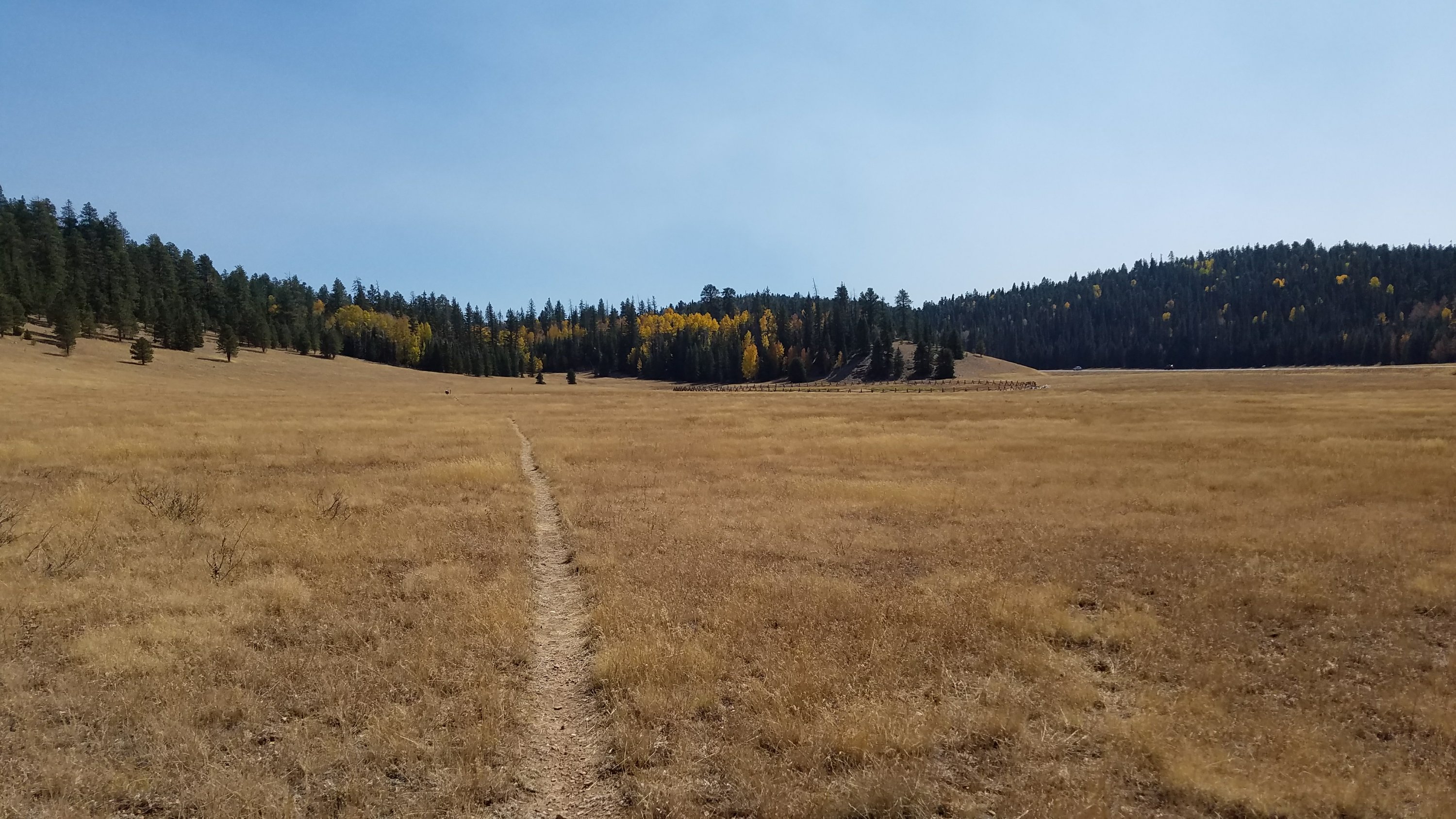
The trail left the burn area and weaved in and out of some small hills. Gone were the ponderosa forests, exchanged for spruce mixed with aspen. There were wide open meadows too, which felt like northern New Mexico. The trail would stay high, between 8000 and 9000 feet, until going down into the Grand Canyon. What an unexpected landscape for Arizona.
I reached a vantage point, the “East Rim” late in the afternoon. The plateau dropped down into a series of canyons to the desert floor, thousands of feet below. The views were a little hazy from a fire burning somewhere west. I was alone save for one couple on an atv. A few miles later, I came to Crystal spring, my water source for the evening. It was just a cement box with scum-topped water but it was cool and clear under the surface. I gathered water and continued on a short ways. The spruce were nowhere near as nice as ponderosa in providing good campsites but I found a place that would do. A hunter on an atv passed by, so I made sure to get away from the jeep road/trail a bit.
For the last few hours of the day, I feel a bit queasy and and with low-energy. At camp, I started to feel even worse. My stomach hurt and I feel like throwing up. I couldn’t even eat my dinner, so I put it away for later and went to sleep around 7:30 pm. Hopefully, a little sleep usually cures everything.