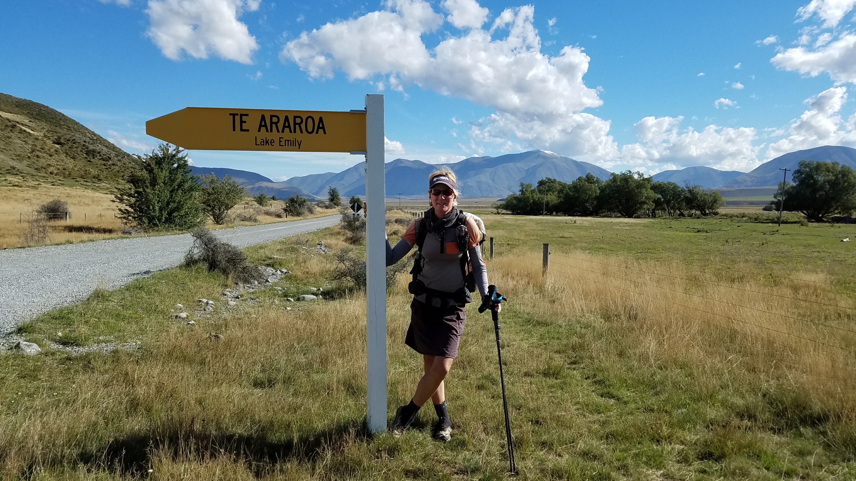
February 23rd
Comyns Hut (km2296) – Buicks bridge, Hakatere Heron rd. (km2329)
Mileage: 20.5mi/33km
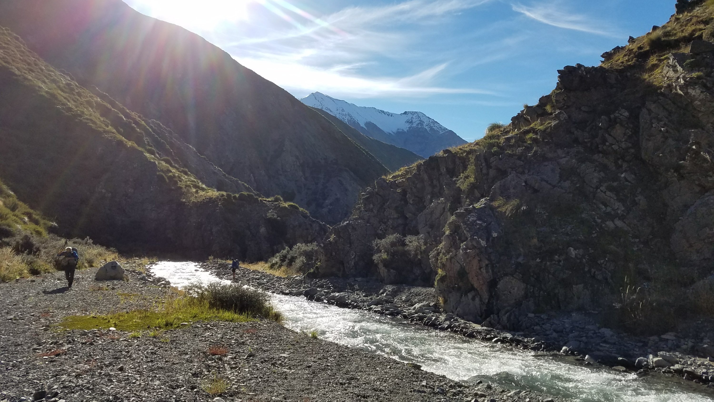
Today I hit my lowpoint on the trail but also had some of the most peaceful moments and best memories. It’s incredible the range of emotions you can go through in one day on the trail. The anxiety came early in the form of pain and adrenaline from 50 crossings of the North Branch Ashburton River and Round Hill Creek. Only the first 20 or so crossings were strenuous, at least. I made the mistake of leaving the hut about 10 minutes behind the main group. This was stupid because as I came over a small hill and down to the river, I could see the most difficult crossings were right away. The creek was still the color of chocolate milk and obviously running high. I could have benefited from seeing where and how the others crossed.
I could see them just up ahead, at least. Then I spied another person walking down the river, beyond the confluence of the valley we needed to head up and the valley we just came down. It was Bertram and he was going the wrong way. I started blowing my whistle and yelling but it was no use, he couldn’t hear me beyond the roar of the rivers. I should have done the altruistic thing and chased after him. But that would have meant crossing the river further down twice, putting myself at more risk. My self-preservation side kicked in and hastened me to catch up to the main group. He has GPS/guthooks on his phone, so I hoped he would realize his mistake early rather than later.
On a side note, I don’t solely rely on my GPS throughout the day. I also read 4 different daily blogs about the trail and study the trail notes the night before. In essence, I do a lot of homework every night, in lieu of reading for pleasure or just getting more sleep. It’s a lot of work but it makes me very prepared for each day, so that I hopefully don’t make mistakes. I know what to expect, just as I knew the trail turned west and headed upstream on this day.
There was nothing to do but take the plunge for the first and second crossings. This river was more of a creek, being no more the 15′ across. But very swift and cold. The second crossing was the worst all day, coming up to my crotch and on loose sand, so it was hard to keep my footing. All the previous crossings have been in clear water. It’s 100 times worse when you can’t see how deep it is or what the substrate is like. Everyone will tell you not to cross in conditions like this but I did it anyways, knowing 4 others had just done so. Then it turned out that this second crossing was pointless. There was a marker on that side but the “trail” only went as far as another bluff and crossing that looked even worse.
Klaus was just across from me and pointed out a goat trail up and over the bluff, on the other side. I had to cross back in the same sketchy place. By then my lower half was very cold and numb. But at least I was able to catch up with the group. The lack of trail was the the most frustrating thing about the morning. On numerous occasions, we risked crossing the creek, only to have to backtrack, crossing again, to find a better route. Just because there was a marker on one side didn’t mean a crossing was necessary. There is no trail really, because the route just goes up the river bed. And unfortunately for us, that bed was quite full of water.
It’s not that the crossings were all so bad but each one reset the clock on trying to warm up frozen limbs. It was downright painful walking over all the river rocks on feet that are numb. It brought me to tears, the first time the trail has done so in 2300 kms. The alternatives to river crossings meant bushwhacking through Matagouri, a horrid bush with 1″ spines, or rock climbing. We did it all, trying best to find our way. My legs ended up with a thousand little pin-pricks, with blood running down. Then I took a hard fall onto my side and back, landing on a rock. I was just walking across a flat spot but as awkward as I went down, I’m lucky I didn’t break anything.
I also fell off the side of a ledge that we were trying to skirt along the river. I landed upright in a hole of waist-high water and thankfully Klaus was there to help pull me out. Just the day before, I had gone back to show him where to cross at the river split. He’s in his 50’s and a petite man, so just imagine him clinging to a rock and pulling my weight up out of the river. It’s so awesome the way complete strangers help each other out. All these events combined to make it a very bad morning. At some point, I stopped feeling pity for myself for the pain I was in and just got angry and determined. A painkiller also helped. The creek then got easier and clearer as we went up. When the sun finally hit the valley, it felt like nothing bad at all had ever taken place. Suddenly I was no longer hypothermic and my surroundings were beautiful.
 It took us 2 hours to go 5 kms. That’s 1.5 mph. But the rest of the day seemed like a breeze, even though we had to climb through tussock up to Clent Hills saddle. The tussock bashing that I had heard such bad things about mercifully turned out to be easy. There is a pretty trodden trail through the tussock by now. I thought I might need to wear high gaiters or pants in this section but the grass was soft and caressing. There were some spiky plants mixed in like speargrass (a yucca-like plant) and Matagouri. But nothing so bad as the dense bush along the river.
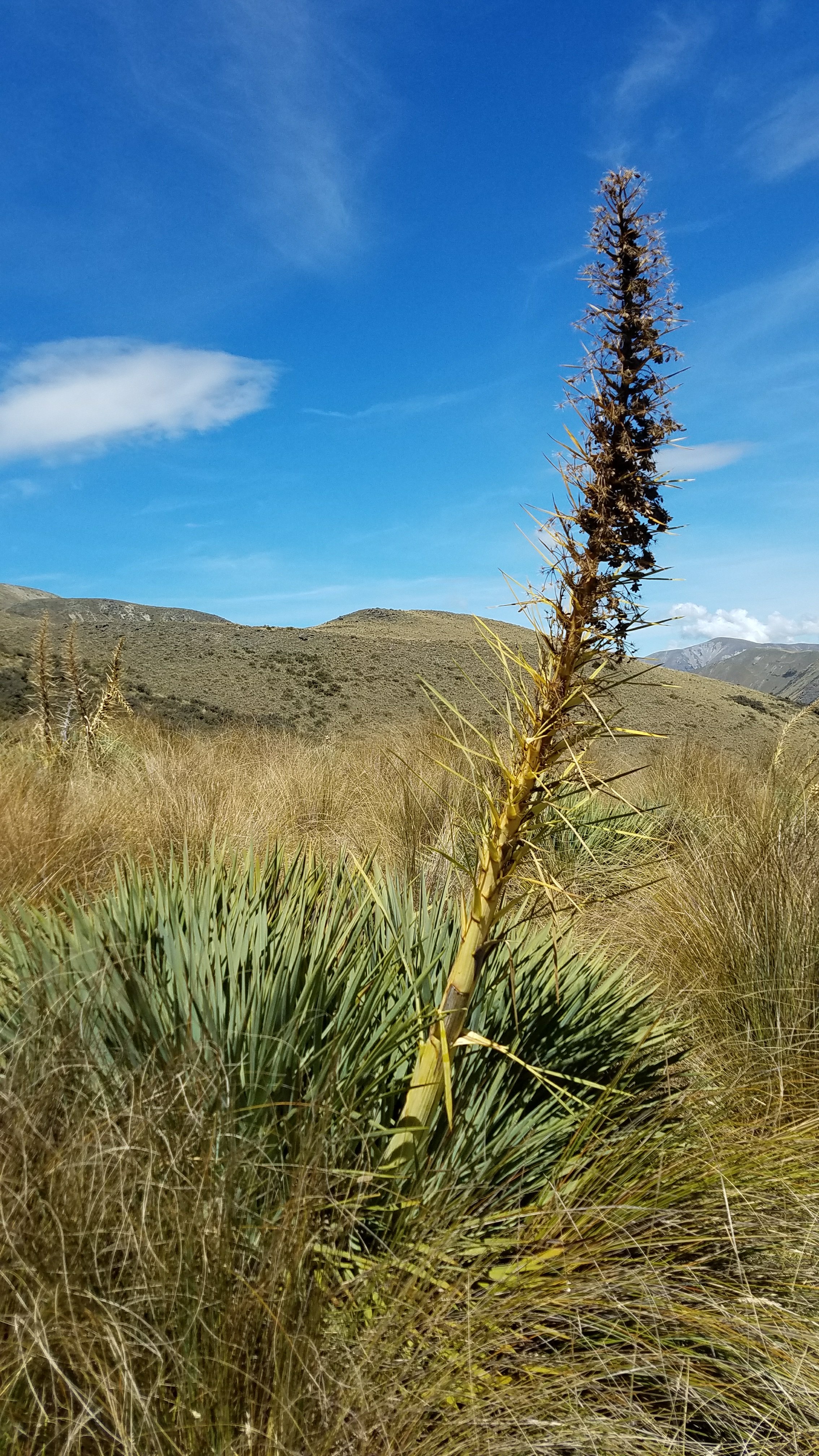
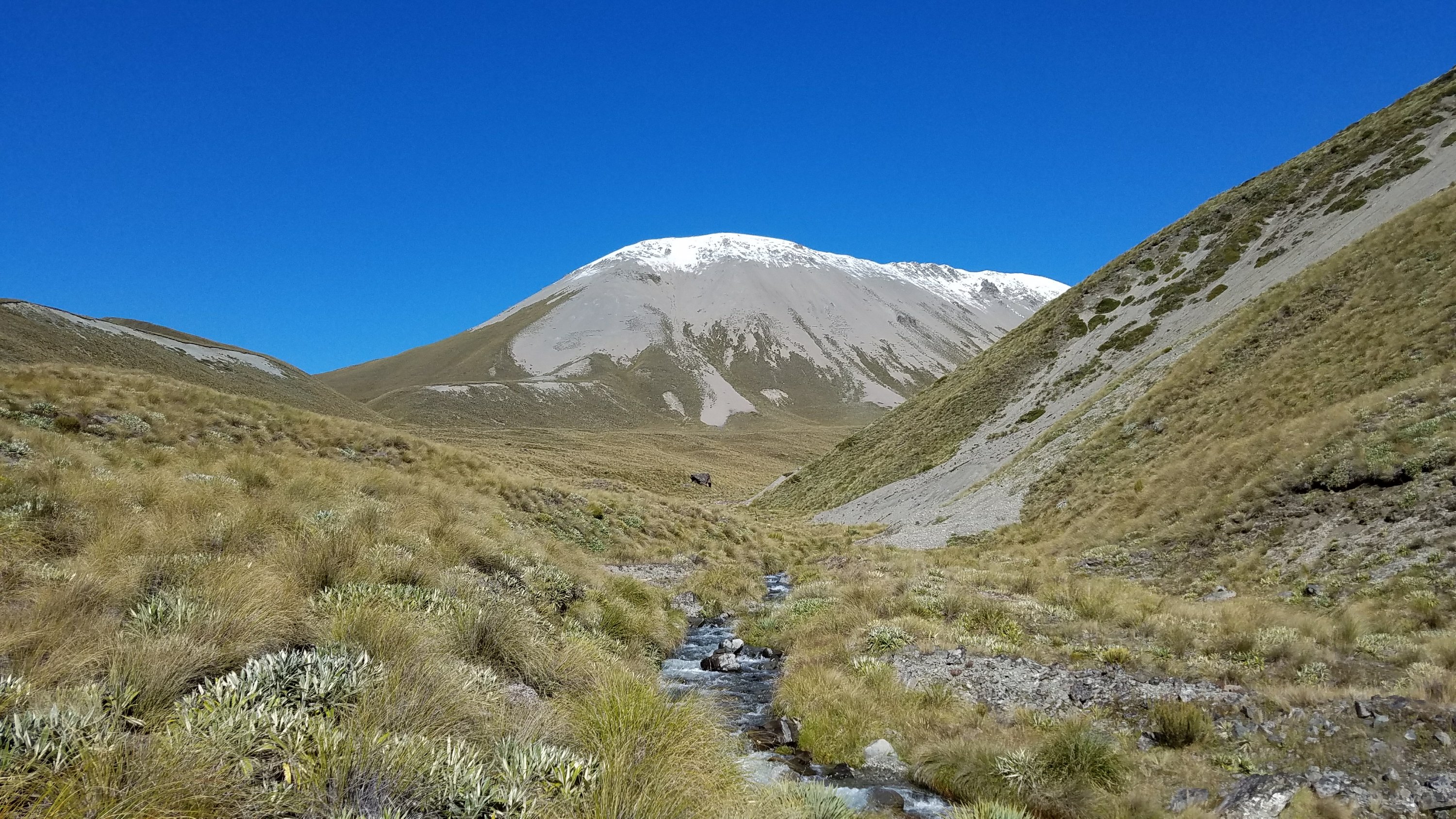
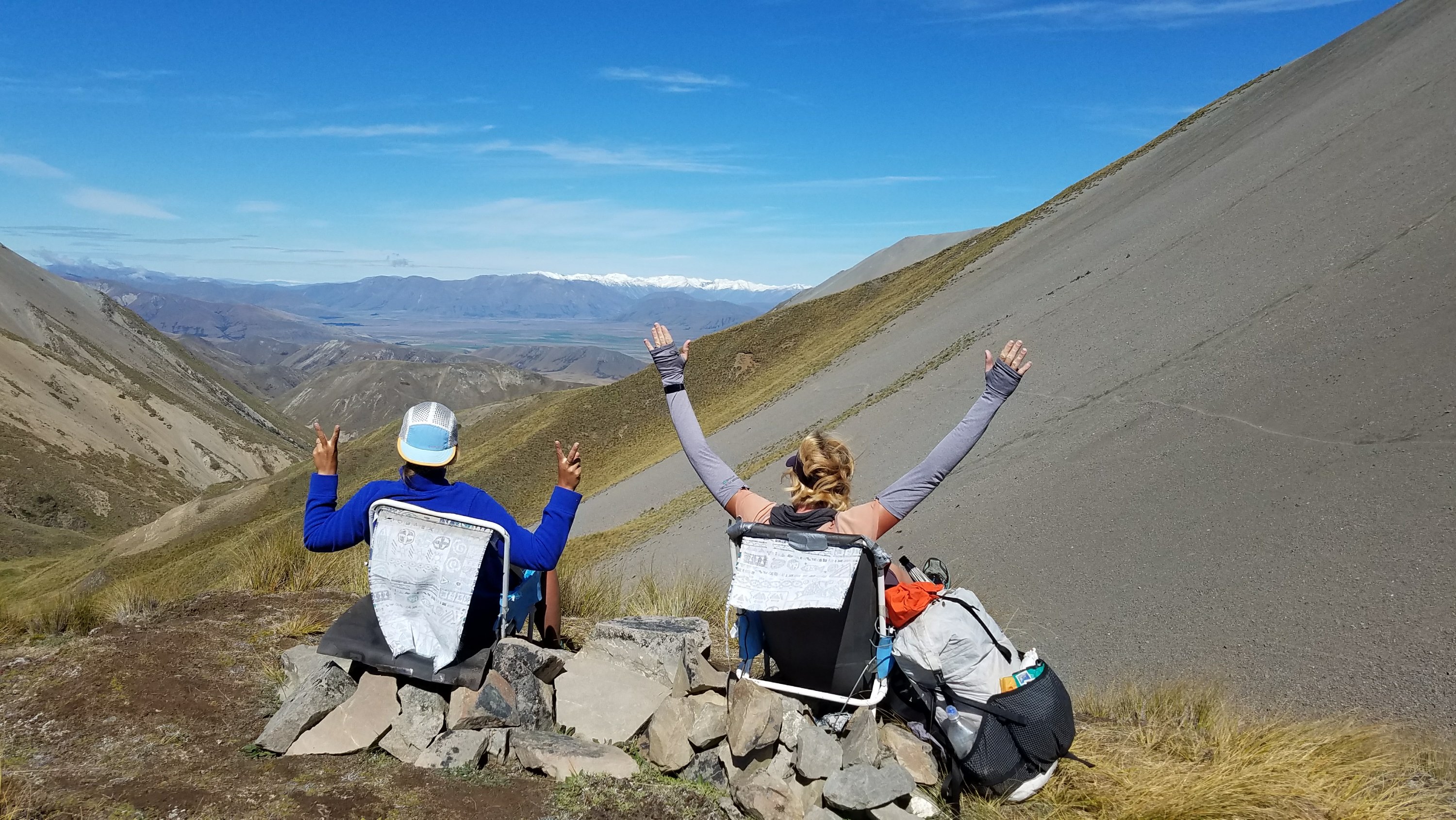
The best thing about hiking in all the open tussock are the views. There are no trees to be seen for hundreds of miles in this section= unrestricted scenery. I daresay it was worth all the trouble going up the stream. At the saddle, we stopped to soak it all in and hang out in some lawn chairs someone had dragged up. 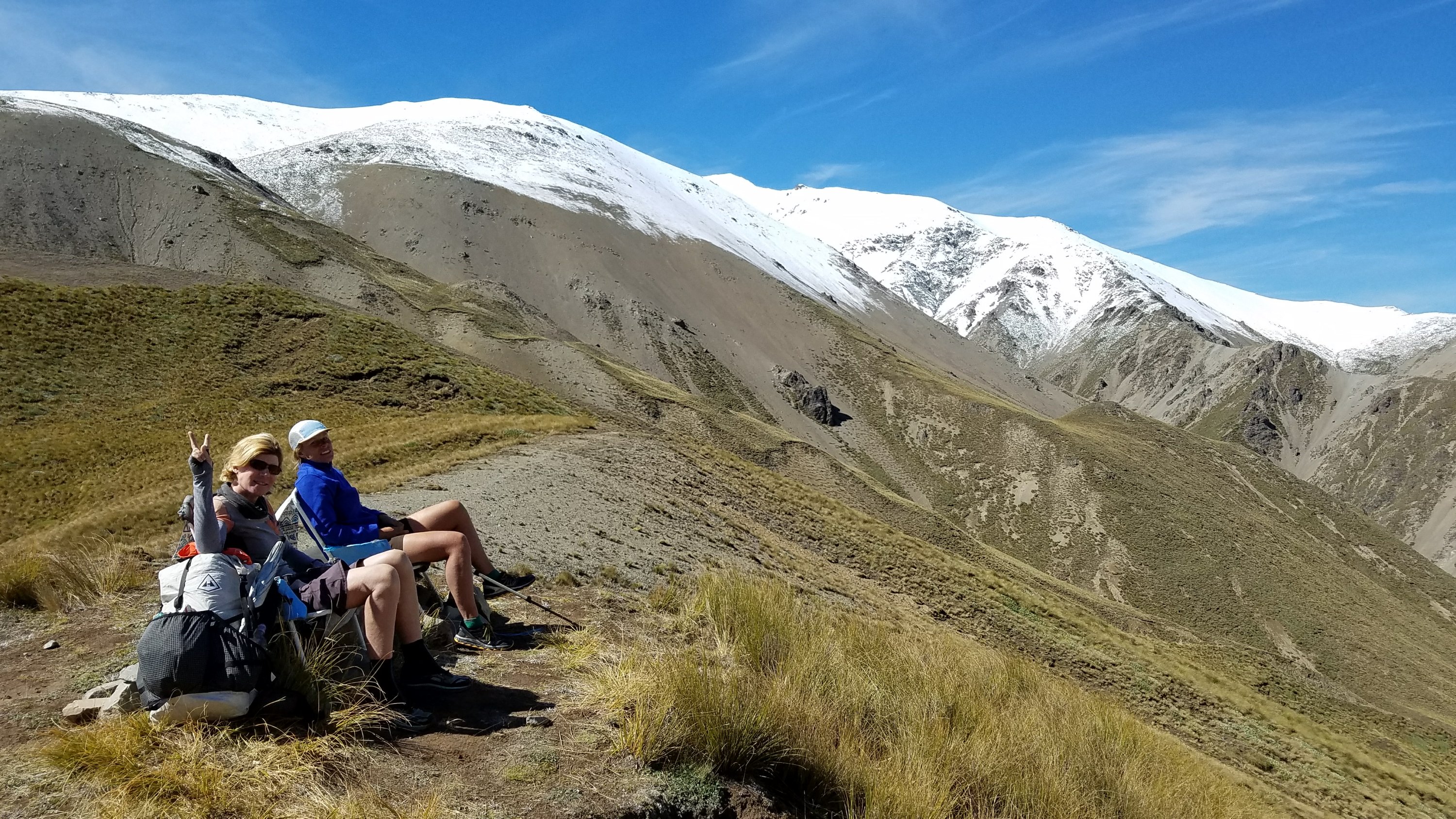
 Then it was a fast and easy descent to the next valley floor, all the while enjoying the open sky and surroundings. I was in full walking bliss once again.
 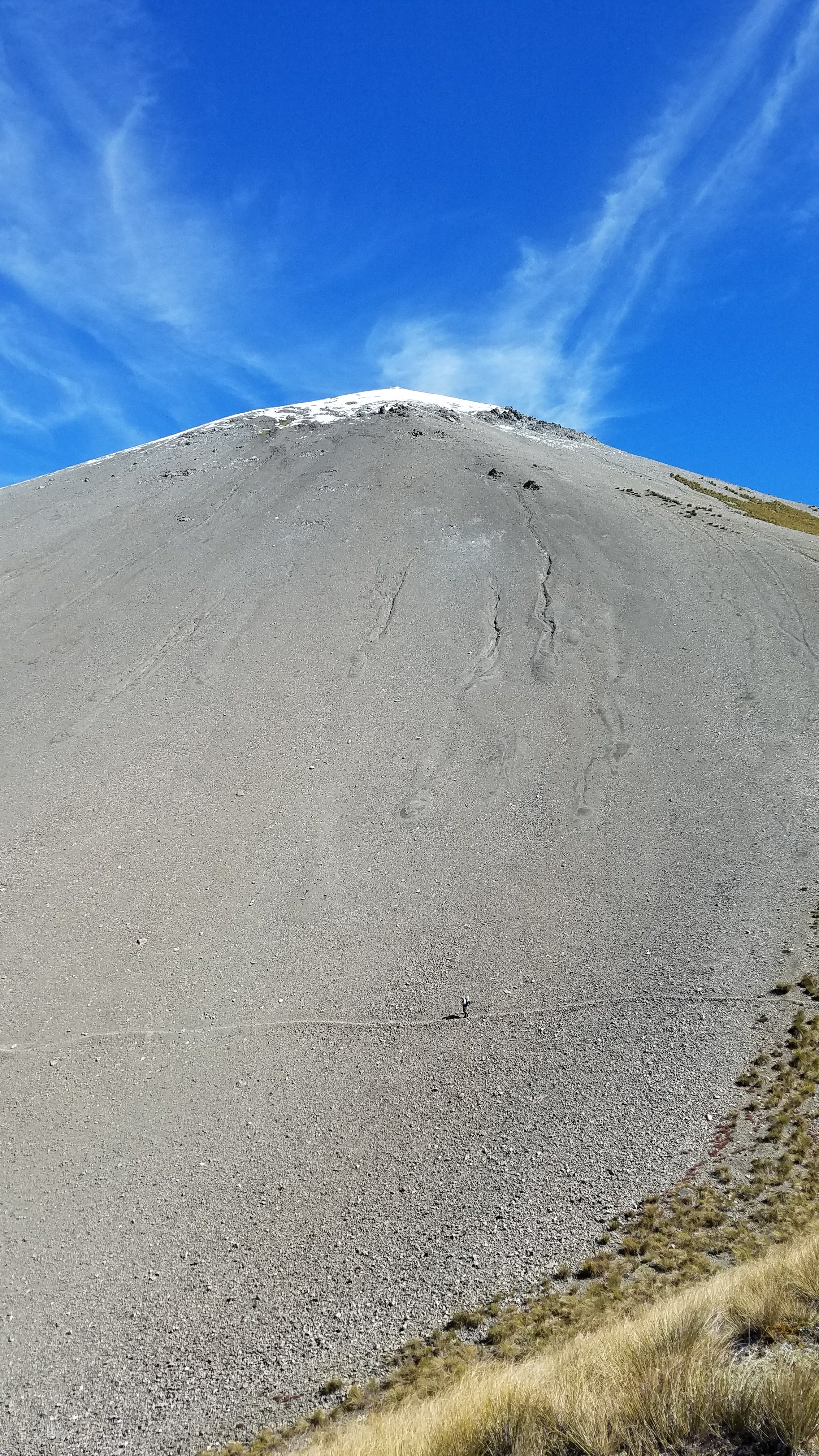 The afternoon passed quickly and I was at the last hut along the section, Manuka Hut, by 3 pm. It was 500 meters off-track, so I didn’t even check it out. I knew that if I stopped, I would get pulled in. I wanted to cover some more ground during the nice weather and to give myself more time for hitching around the Rangitata River…more on that in the next day’s post.
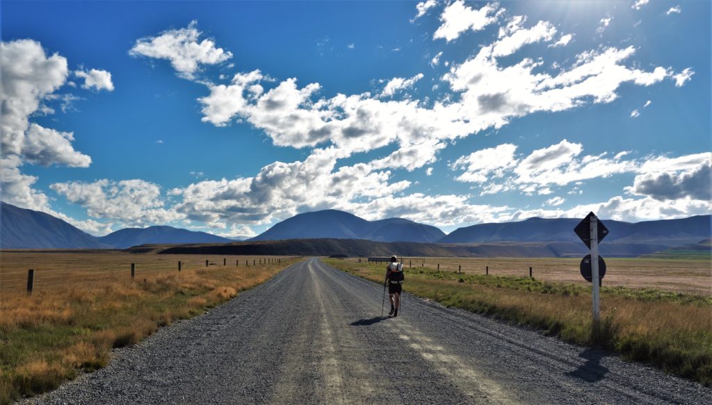 So I began walking with Hart, going another 12 kms on roads before settling in next to a river and bridge. It was 6 pm and we had put in a good day, despite the slow start. Even though we were right next to a road, the elevated bank served as a nice wind break. We even cooked dinner under the bridge, just like a couple of hobos. This bridge at least had an awesome view of the mountains. The river it crossed was also running high and fast, further confirming our suspicions that the Rangitata was un-crossable.
 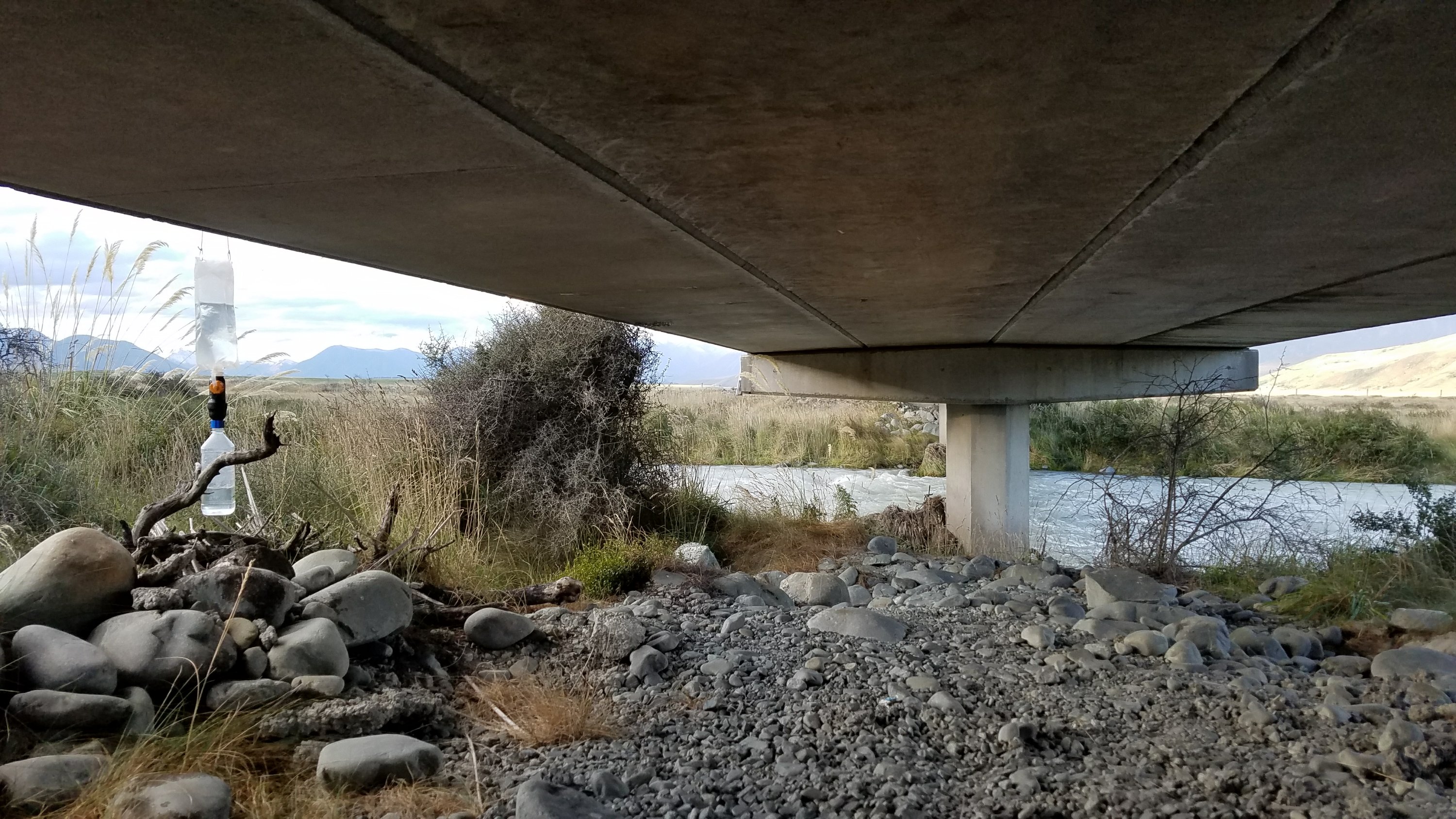 Most amazingly, there were no sandflies under the bridge! Just a dead little bird, which I picked up and pitched aside. I went to bed quite happy in my little tent, suffering no bad dreams of the morning events. It was a great day overall.