Sunday, August 7th, 2022, 0630-1800
Devils Pass to Green Point Camp via Jackita Trail, WEBO mm 755.5, Section 6 Pasayten Wilderness
24 miles, Gain 3900′, Loss 8400′, elevation 1970′
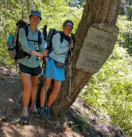
We’d decided to take an alternate route this day, based on comments in FarOut and from Buck30’s blog. The Jackita ridge was really talked up by previous hikers, sounding like it was more scenic. The fact that it was about 5 miles shorter was also helpful but not the primary motivation. All 4 of us had decided to take it. I felt a little responsible for pushing the idea originally, so I hoped it wasn’t a bust. It’s not an official alternate shown on FarOut but at least we all had GPS enabled maps of the trail thanks to a free app called the Hiking Project… it’s a great resource! It shows almost all trails throughout the country, giving basic details like distance and elevation gain\loss, plus an elevation profile. It listed the Jackita trail as 14 miles long, with over 7k’ of loss in the direction we were going.
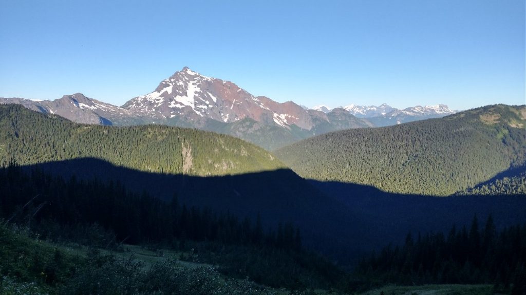
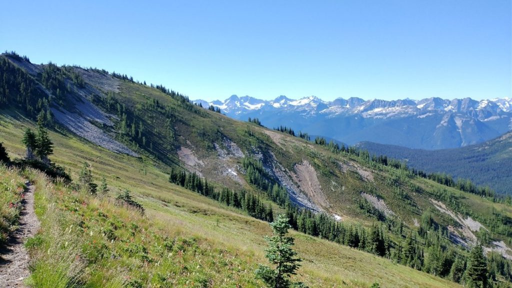
The first part of the trail dove in and out of several basins, with very steep tread. I’d read about the steepness in several of the notes but even still, it was surprising. There were 2 large climbs of around 1k’ and the second went straight up a scree field that was a bit loose. It was fun and the Germans really seemed to love it (they’re hard core!), but I could see how most hikers wouldn’t approve. Take one step forward and slide backwards 2. And don’t fall… you’d slide for a long time. Overall the trail wasn’t as spectacular as I’d hoped. There were good views for awhile but also a lot of hiking through trees. I guess I’d just been spoiled by the PCT segment the day before and GNP a week prior.
We crossed through some lush high meadows, then bombed 3k’ straight down the valley through all the trees. There were a million switchbacks. Usually a trail becomes much better as you near the road but this one became very overgrown. I got a lot of slaps in the face from tree branches. But the valley held some cool old growth trees that were nice to see. We came to a river where the bridge was washed away…a big reason the trail wasn’t used as much anymore or prioritized for maintenance. We knew the bridge was out and crossed the river easily enough. I changed into my camp shoes but everyone else just got their shoes wet. It was swift and deep enough to need some kind of substantial footwear. I took the opportunity to dunk in the very cold water. The air temp down low had turned to roasting…so much for the cold front… thus it felt very refreshing. My hiking would be so much more unpleasant without my daily dunkings. I’m a big fan.
At the parking lot, we were immediately approached by a very enthusiastic lady with a clipboard and ipad. Uh oh. She was with some agency that I forget the name of, wanting to take a user survey for the Ross lake area. She asked for 10 minutes of our time and in return Wolverine unabashedly asked if she might have snacks as compensation…hungry hikers will survey for food. Somehow I just knew she was going to go there…if not her, I probably would have. After all, we were heading for the resort where there was food, so a delay like this had to come with some sort of reward. We kind of all giggled nervously and the poor lady dug out some trail mix to appease us. We actually talked to her for quite awhile and hopefully provided some useful info. Always nice to help out, especially if our comments can help improve the permit system for other thru-hikers.
Our alternate also meant that we had to walk down HWY 20 for 3 miles. There was supposed to be a connector trail along the river but we couldn’t find it. Admittedly, we didn’t try very hard. We were in too much of a hurry to get to our food boxes at Ross Lake. The highway was fast, easy, and with a wide shoulder. It went by like nothing. I also found some ripe thimbleberries and raspberries. Finally we were back on the main route, with 6.6 miles to go to Ross Lake along a trail named Happy Panther. I looked for the crouching tiger and hidden dragon too but did not see them.
Our initial plans had been to get as close to Ross Lake resort as feasible (given the difficult permit system) by our 5th night, arriving early morning of the 6th day. If we were able to make our big miles (28 mile average), we could possibly get there by the 5th night. We’d accomplished this (with the help of a 5 mile shortcut to account for the blowdown slowdown), so it was all systems go to get to the resort. Wolverine went into her beast mode (maybe this was the true meaning of Happy Panther?), and took off at over 4 mph. I was dragging in the afternoon heat, only managing 3.5 mph. I couldn’t possibly keep up with her. The trail was pretty immaculate and cruiser, winding along the southern end of the lake, so I just bobbed along.
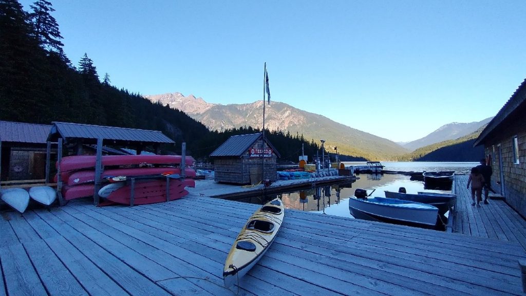
There were some good views of the lake and the floating resort on the other side. Apparently the floating platforms were originally constructed to house a logging crew and when that enterprise ended, they began to rent them to tourists. Today, there are thousands of people vying for one night’s stay. I can’t recall if they either have a waiting list, a lottery, or you have to book years in advance. And who knows how much it costs. Whatever the case, I would not be staying there. But we needed to crash somewhere. I’d stupidly thought there might be many stealth spots along the shore but no. The glacially carved mountains meant that their slopes dropped steeply down to the lake’s edge, no hint of a flat spot along the shoreline.
There are a few designated campsites along the lake, but a permit is needed for all of them. We’d tried to get a permit before we left Oroville but the park service people had called back when we didn’t have service. Thru-hikers of the PNT are supposed to be able to call in to get permits but they never answer their phone. Instead, we’d been instructed to send an email and that they’d get back to us. Basically we would’ve needed to take a zero in Oroville just to wait around for a call back.
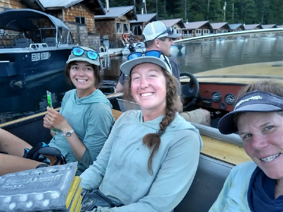
Well, my strategy of just showing up and seeing what happens worked! Karaoke, the thru-hiker we last saw in Oroville, was also at the resort and had a permit for the campsite directly next door. All 3 of us ladies had tiny 1 person tents, so we figured we could squeeze onto her site. It was so nice of her to offer to share. Even better, one of the resort guys offered to take us over to the camp via boat. We happily piled in the boat and Andrew gave us quite the ride in his speed boat (twin 140 hps). It turns out, he’s the owner of the resort! I love that they’re so hiker friendly.
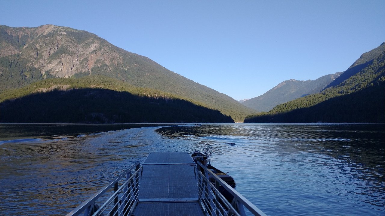
The campsite was pretty full with other campers, but before we even had a chance to search for an open site, a nice lady invited us to share their group site. They had a whole additional tent pad they weren’t using. This worked for us since it was the closest site to the shore. In retrospect, I bet we could have camped there even if we didn’t have permits. I enjoyed a nice evening soaking my feet in the lake, sitting on the dock while watching the light fade from the surrounding mountains. What a great ending to a long segment. 140 miles in 5 days!
I got the boat ride too, but the opposite way to the Happy Panther Trail…damn, he floored it!! I almost fell out of my seat, haha! I can’t wait to read about all your miles from here on out. I’ve done many of them, and it will be fun to see my area through your eyes. My friend’s house it literally ON the trail…I’m trying to get her to put out some trail magic for y’all, but she’s afraid to attract the “riff raff.” She’s such a snob, haha! But keep your eyes out, maybe I can convince her. Hopefully you haven’t passed it yet. You are just so crazy fast!!