Saturday Apr 10th, 2021, 0830-1800
Gila Visitors Center to MeOwn complex, end segment 22, mm 425
23 miles
It did indeed get very cold overnight…the thermometer read 27 degrees F in the morning and my skirt was frozen stiff. Luckily my socks and shoes had mostly dried. I packed in the dark and moved into into the RV trailer to charge my phone and get good wifi. It wasn’t much warmer in there, so I drank lots of coffee and hot water. Too bad I couldn’t combine hot pools and device charging very easily.
Just as planned, Tinman was at the hot springs to take us to the trailhead at 0730 am. I still can’t get over just how wonderful people can be. His generosity and genuine concern for hikers was incredible. Along the way, we stopped at Lower Scorpion campground to check out another cliff dwelling and some rock paintings. Tinman gave us a personal tour, since he was quite familiar with the area. He dropped us off at the visitors center, which was unfortunately closed due to COVID… including the bathrooms. So I changed into some of my semi wet clothes in the parking lot.
We took an alternate at the middle fork that went high, avoiding the river and 6 frigid fords. I already hiked the entire middle fork when I did the CDT, so the alternate was ideal. The GET route only stayed on the middle fork for about a mile anyway. As we climbed to the bluffs above, we met 2 backpackers that were NOLS instructors. They were leading a group of 10 students that they had, without prior notice, intentionally abandoned early in the morning as part of their advanced training. We found this amusing and couldn’t wait to quiz the students when we met them.
After about an hour, we encountered the first group of 5 and shortly after the other group. They were indeed surprised to find their instructors vanished in the morning, asking if we had seen them…I guess we kind of let the cat out of that bag. They were practicing their leadership skills, with one person designated as the navigator. That person carried the map and compass, but with these nice trails and marked junctions, such tools were hardly needed. In fact, we had yet to use our printed maps on any part of our route, mostly relying on the GPS maps.
We quizzed them about what they were learning and future ambitions. Most were college students, taking a gap year. The NOLS program was a whole semester long, so they were also taking rock climbing and paddling programs. It was great to see the next generation hitting the trails and getting outside. We only had one major critique of the program: gear. The huge backpacks and heavy clothing that all were wearing made us cringe. NOLS supplied the gear, so it was no surprise that it wasn’t the highest end stuff. But I’d at least encourage the kids to wear trail runners instead of boots and to ditch the nalgene bottles in favor of smartwater bottles, little things like that. Even the instructors had huge packs but no trekking poles. We joked about infiltrating the ranks to bring them up to speed on lightweight gear and techniques, after all, teaching backpacking skills in this day and age should incorporate that. The gear has advanced by leaps and bounds, so should the instruction on it.
These groups were the last backpackers we would meet all day and possibly for the rest of our journey. I was kind of relieved when we crossed the east fork of the Gila and started up a little known route along Diamond Creek. All footprints ceased and the trail became bushy and spotty once again. Ahh, back on the real GET. We traveled up the creek for 4 miles or so, taking lunch at a spot in the shade. It was a neat broad canyon, with a riparian ecosystem that reminded me of the lowland rivers in Colorado like the Arkansas. Cottonwoods and willows lined the shore along with mixed conifers flanking the sides of the canyon. We crossed the creek many times but were able to keep our feet dry by some creative pole vaulting and log walking.
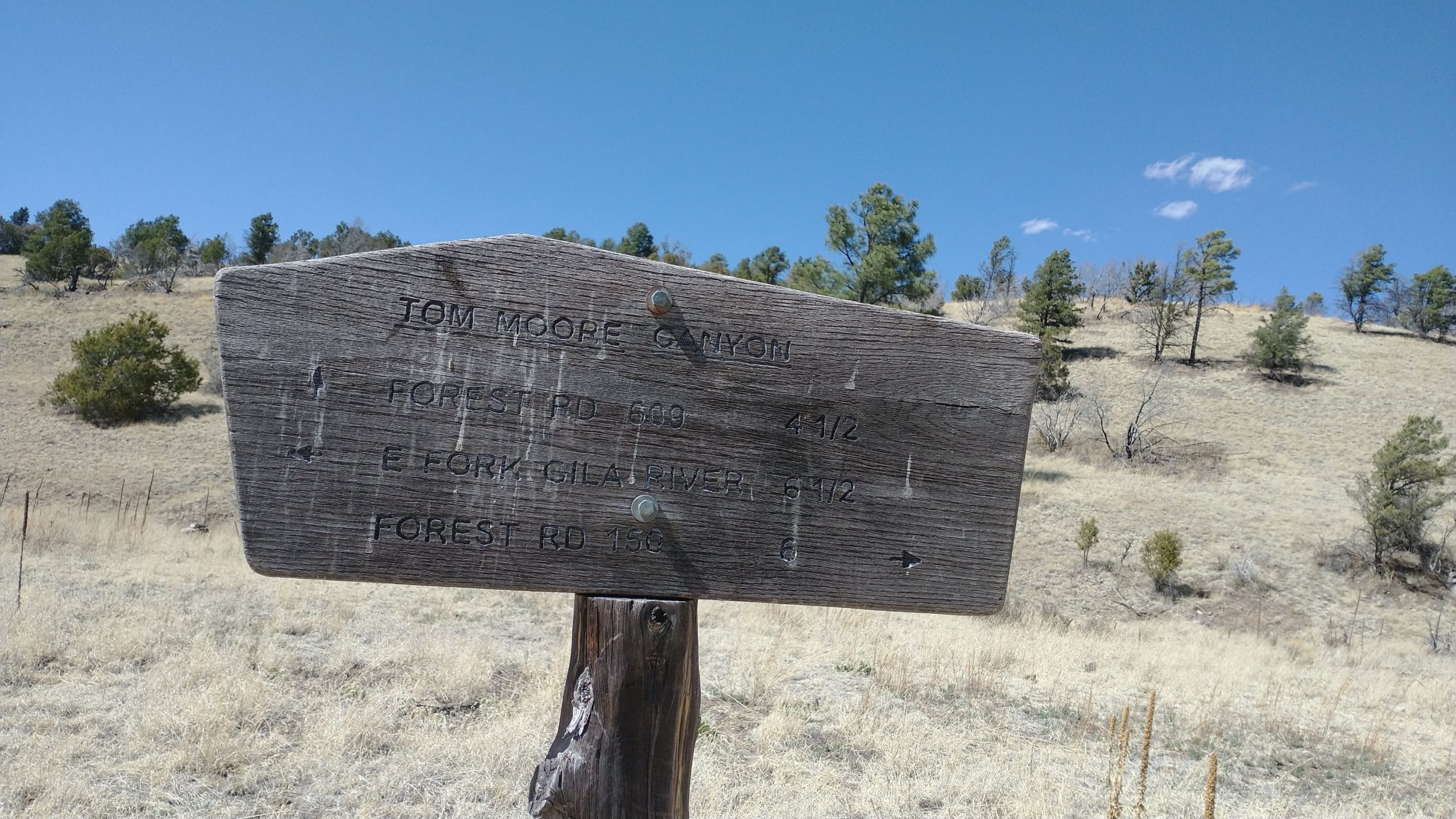
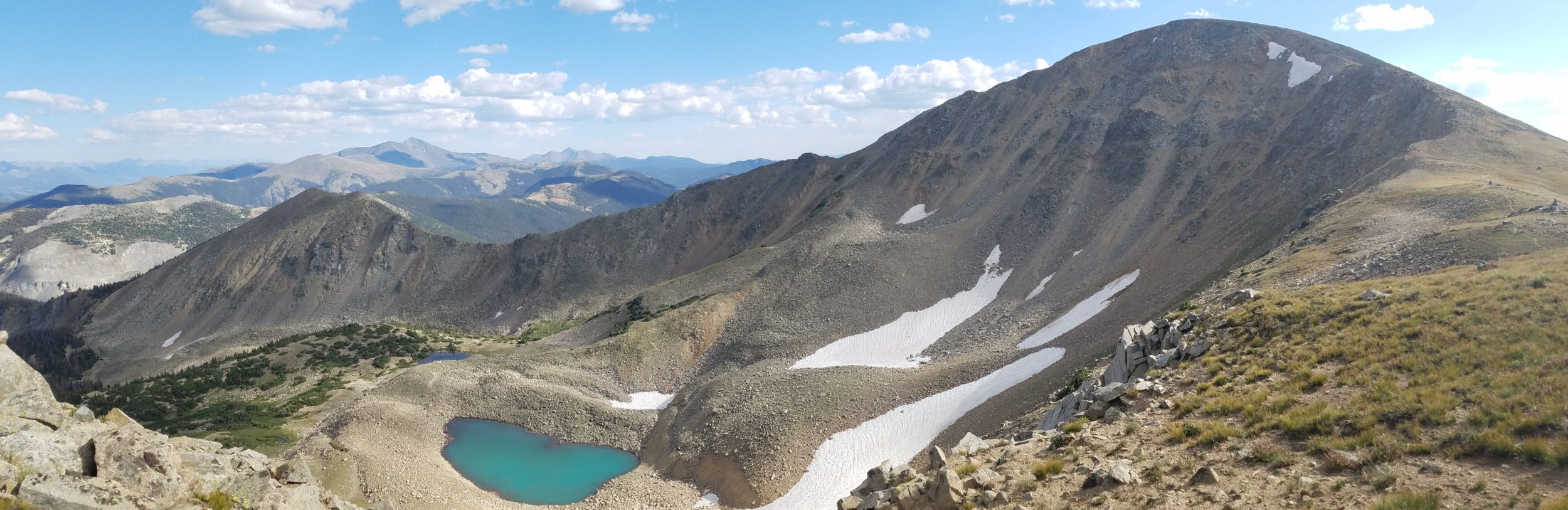
Eventually we left the creek via a dry wash, returning to ponderosa parklands the rest of the day. We went up a few small ridges with views and then walked a dry drainage east, called Tom Moore Canyon. We wondered in and out of the Gila Wilderness area, seeing some evidence of cattle along Diamond creek, but then mostly signs of elk. There was a lot of bear scat and reports of bears in the area, but we didn’t see any. All I saw were a few mule deer, hawks, vultures, songbirds, and a great blue heron. Oh, and a few elk bones / carcasses. I didn’t know if hunting was allowed in these areas, but it looked like a great place to bag an elk.
It got pretty hot in the afternoon, especially compared to such a cold morning. The clear understory allowed me to pop my umbrella, which combined with the breeze, kept me cool enough. I still couldn’t get over the extremes we went through every day. From so cold that I need all my layers to so hot that I had to dunk myself and all my clothes in the streams to cool off.
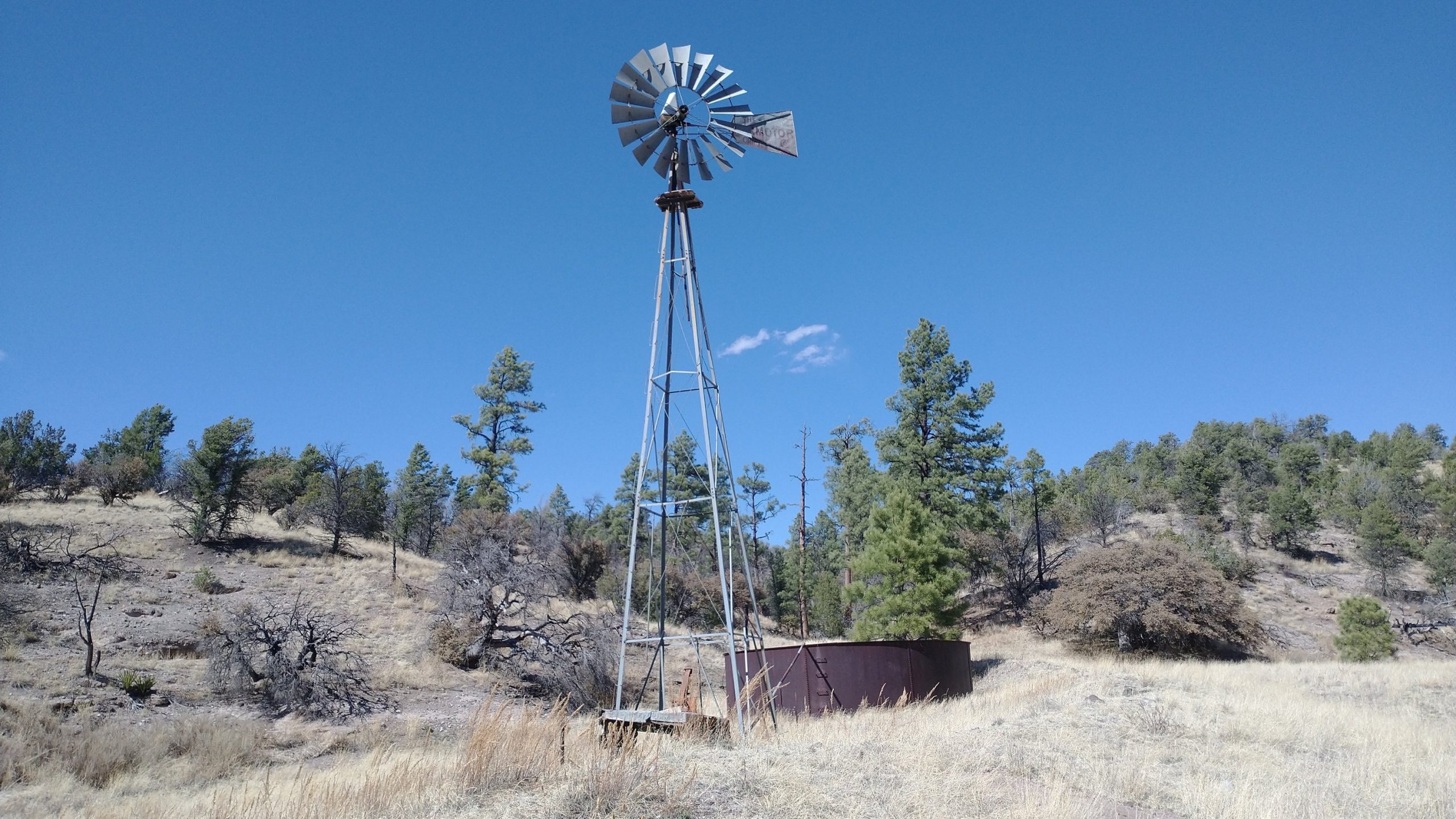
We had a dry stretch of about 10 miles leaving Diamond Creek, with a reported spigot at the end of the segment. We were apprehensive about the spigot, since sometimes it was turned off for the winter and we were still technically early in the season. We passed a lone car camper just before coming to a graded forest service road. He had tons of water sitting out, but I felt bad asking him for some. Fortunately the spigot at the trailhead was working and so we ended up with a campsite with water and even a long drop. The site also had a few buildings and a landing strip, but no one was around. One truck pulled up for a few minutes then left. For a Saturday, it was a very quiet trailhead.
I set up in some trees, hoping for protection from the wind and cold. It was supposed to be another very cold night, below freezing. But up away from the Gila valley, I suspected it wouldn’t be as bad.