Thursday Apr 1st, 2021, 0730-1600
Outskirts of Safford to Bonita Creek, mm 261
22 miles
We had a productive town stop, but I was anxious to get back to the trail. Looking at the maps during my trip planning, I’d noted another long road walk of about 20 miles out of town. Most was on dirt roads heading into the mountains, which I didn’t mind, but about 5 miles was leading out of town through suburbs and past cotton fields. A nice endpoint at Bonita Springs waited if we could hike a 27 mile day. Or, if we could get a ride past the blah outskirts of town, we could hike a more moderate day and still have time in the afternoon to enjoy the creek. A historic cabin was reported to be in the area…a fun side adventure. After the ugly hike into town the day before, I was eager to avoid more ugly walking in favor of the good stuff.
So we set out from the hotel with a cardboard sign in tow stating our intended destination about 5 miles down the highway. Someone had previously told me that hitching is illegal in AZ but carrying a sign around, well, that doesn’t necessarily mean we’re hitching. We didn’t figure our chances were great but we could at least try. We left early to take advantage of the morning’s cooler temperatures. A heat wave was about to hit, with temperatures soaring into the 90’s for the rest of the week. Ugh. This was not a nice April fool’s prank.
After a few blocks, a man filling up his gas tank quietly stated he’d take us outside of town. He was oddly reserved and so polite, I wondered if he was for real. Then I found out that he was just Canadian and that explained it all, especially the part of giving a ride to 2 strangers. Matt was just getting off his shift as a heavy vehicle operator at the copper mine. This area revolves around the 3 C’s: cows, copper, and cotton. The mines are a huge feature across southern AZ, with the second biggest open pit copper mine in the world being just down the road near Morenci.
It was really interesting talking to Matt about the mine, but he was more interested in hearing about the trail. Being from Vancouver Island, he was familiar with some fantastic hiking. Hopefully we inspired him to try some local trails in AZ. In showing him our maps, he was surprised to see that the route passed right behind the “dump” site where he regularly works. He was even more surprised when we asked him to drop us off at an unnamed wash just past where we crossed the Gila River (which at this junction had been completely sucked dry and /or diverted to service the cotton and mining operations). It was kind of strange that 2 people would want to be dropped off in the middle of nowhere to start walking up a random wash. We could have asked him to take us even further up the dirt road, cutting off about 10 miles, but we’d already pushed our yellow-blazing far enough. It’s a slippery slope, skipping road walks, because then it’s easy to start skipping trail sections too.
I’ve always been honest about stretches where I haven’t connected my footsteps or taken an alternate (blue-blazed) during a thru-hike. For the most part, I’ve done the long road walks…but I didn’t have to do them all. The entire GET is really just a suggested route, so at the beginning, we decided to make it what we want and not feel guiltly about that. So we started our wash walk with 5 miles off our chest, looking forward to our destination at the creek, all thanks to our kind friend Matt who went out of his way for us.
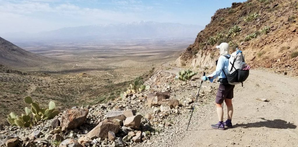
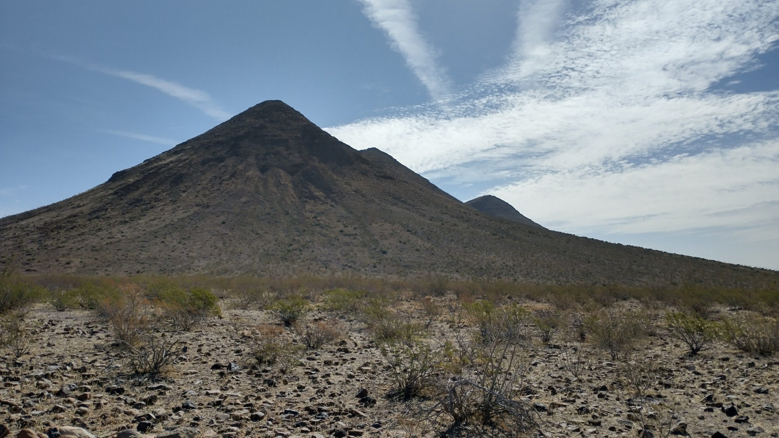
The rest of the day consisted of a series of ranch roads leading into the hills. The first hills looked like cinder cones or giant ant hills. Behind these we got a glimpse of the mining operations, with giant dump trucks pouring tailings. All this was just the backdrop to endless miles of cattle county. We passed a momma cow that had a very new calf still laying on the ground. The mom was standing defiantly over it, ready to go to war if we got nearer. We happily went around. We were also happy for the solar wells ever 4 miles of so, making it easy to stay hydrated. We had lunch in the shelter of one with a tank, which provided a break from the sun and wind. It’s funny how you can get used to living life surrounded by cow dung.
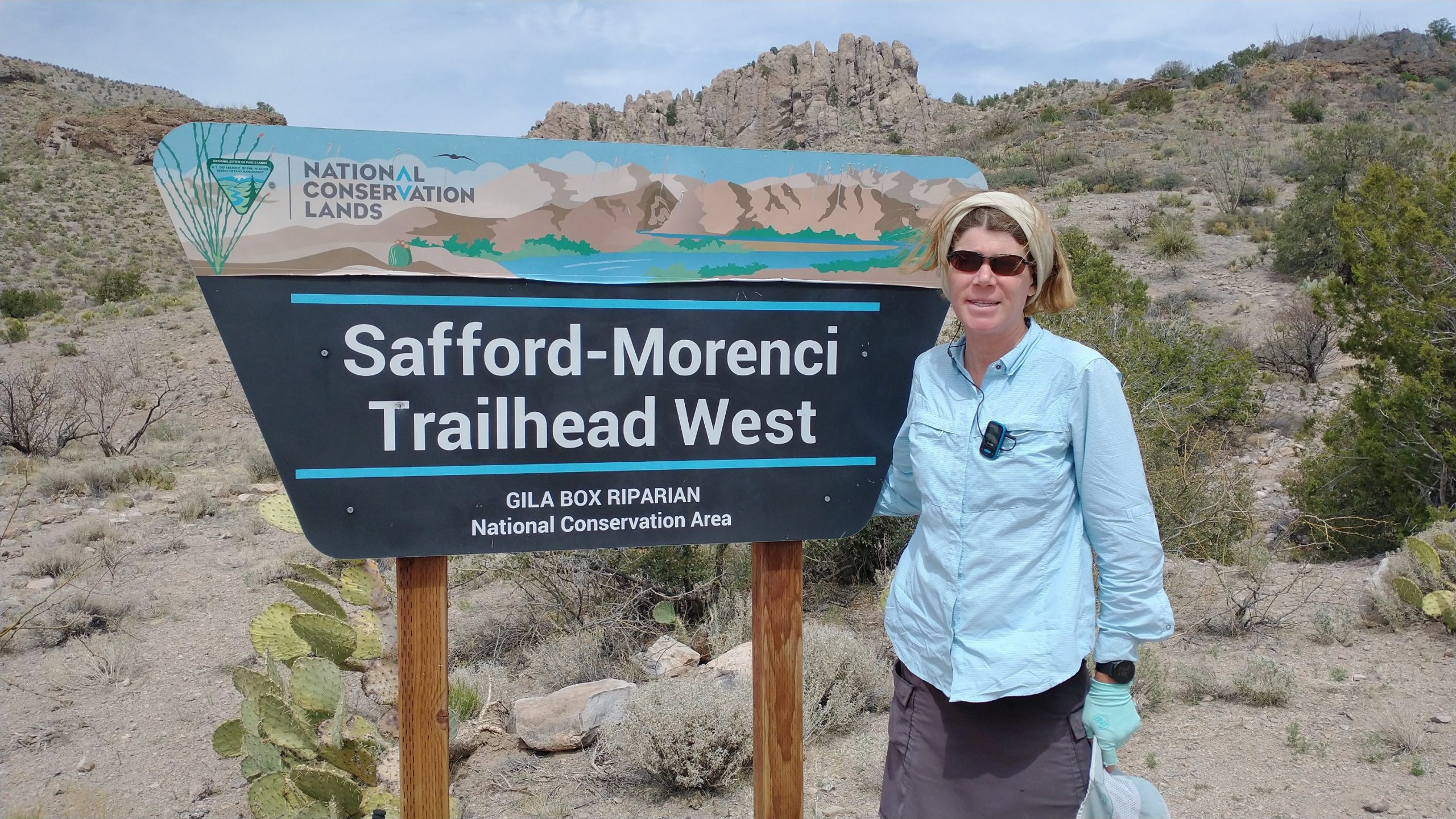
The road walk finally ended at the Safford-Morenci trailhead, which was a historic pack trail between the two towns in the early 1900’s. The BLM restored it in the 90’s, putting up nice signs, a trail register (first we’d seen since the AZT sections), and lots of markers along the way. Unfortunately, not much had been done to maintain the trail since, but that had been par for the course on this route. It was actually pretty great trail for the first few miles. Then we had to walk down a boulder-filled canyon for a few miles where there basically was no trail. It was rough and slow going but a lot of fun. The canyon narrowed to a box in a few parts, which is always awesome. I really tweaked my ankles a few times sliding awkwardly off rolling rocks, but more concerning was how much stress this put on my shoes. I was hoping they would last the whole route, but that was seeming very unlikely. Already the tread was pretty worn and the uppers were stretched from all the torque.
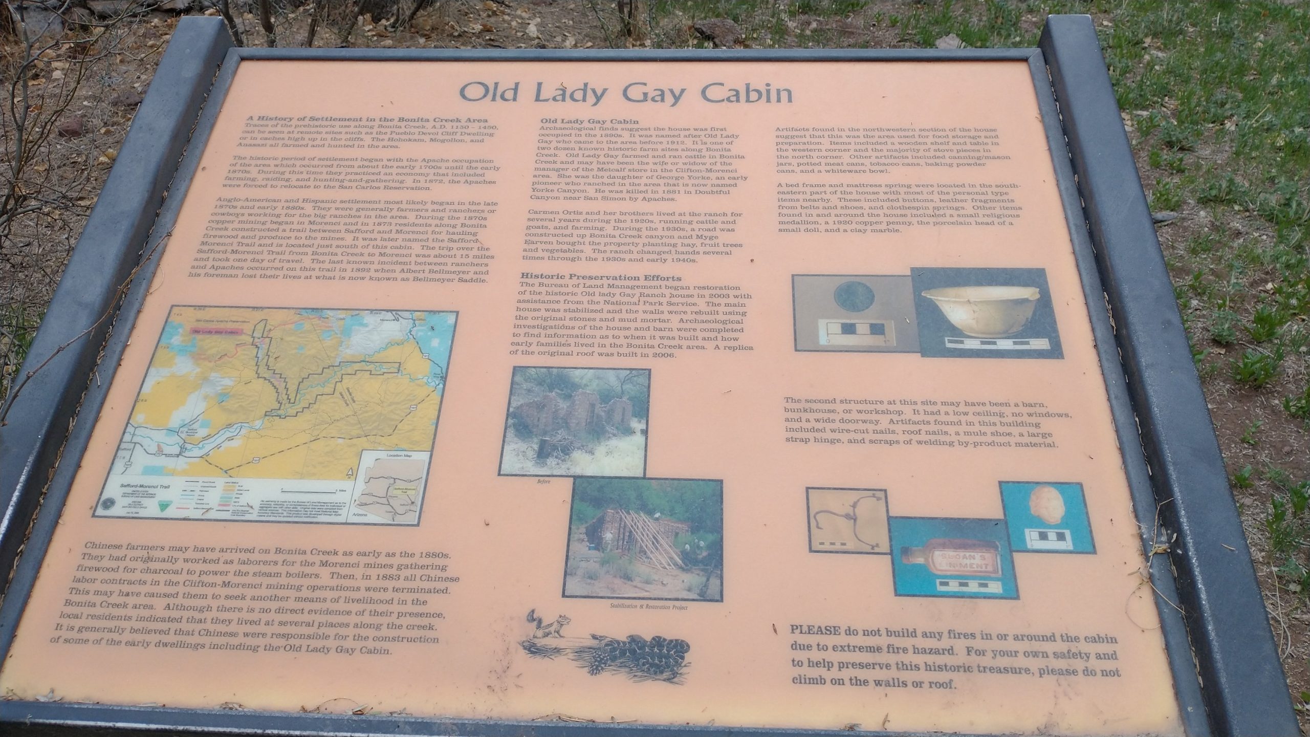
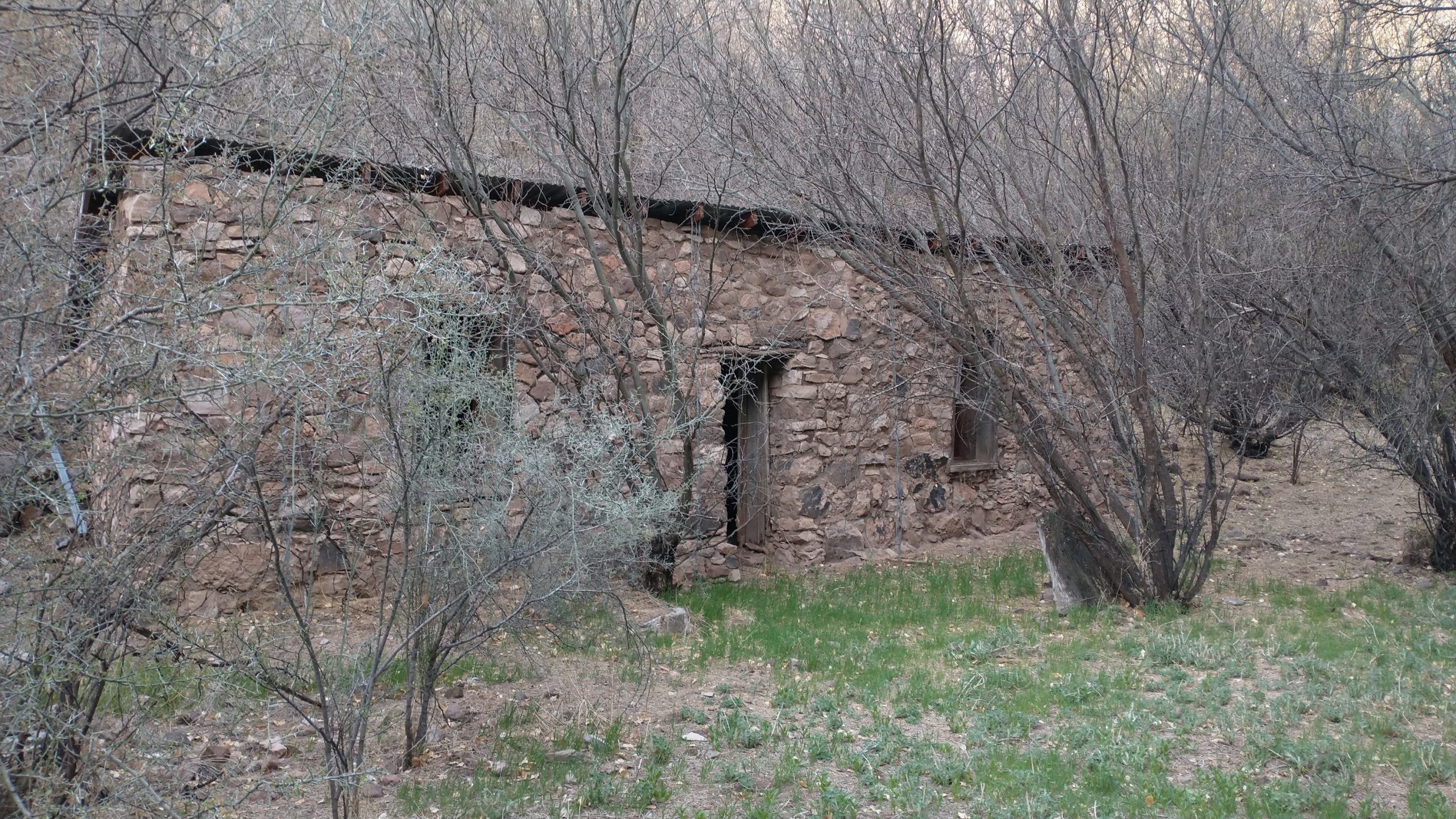
We arrived at the wide tree-filled creek basin plenty early to enjoy the pleasant afternoon. We were surprised to find a couple camping there, Kathy and Mike and their cute border collie companion. They were section hiking the GET with a 2 car shuttle. We were so surprised to see other hikers, let alone GET hikers. We had plenty of time to chat with them and also go on an exploration of the historic cabin. It was built in the late 1800’s and had been excavated and restored by the BLM. There was even an information kiosk giving all these details. I wondered how many people had ever laid eyes on this “tourist” sighting. It was a heck of a journey to get there. I was so glad we had the time to check it out.
The evening was very relaxing, with pleasant creek sounds and birdsong/owl hoots lulling us to sleep. What a 180 from the highway noise we woke up to in town that same day.
