Tuesday Mar 30th, 2021, 0610-1830
Clark Peak Rec area to Marijilda canyon.
22 miles
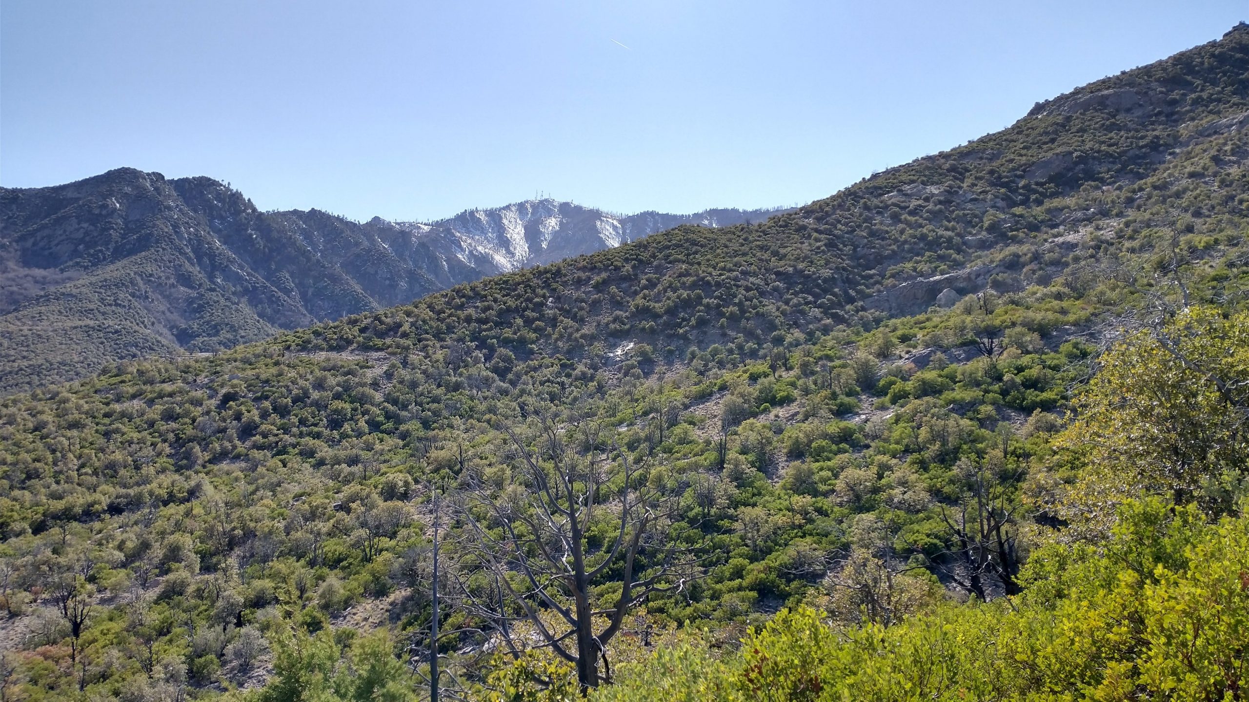
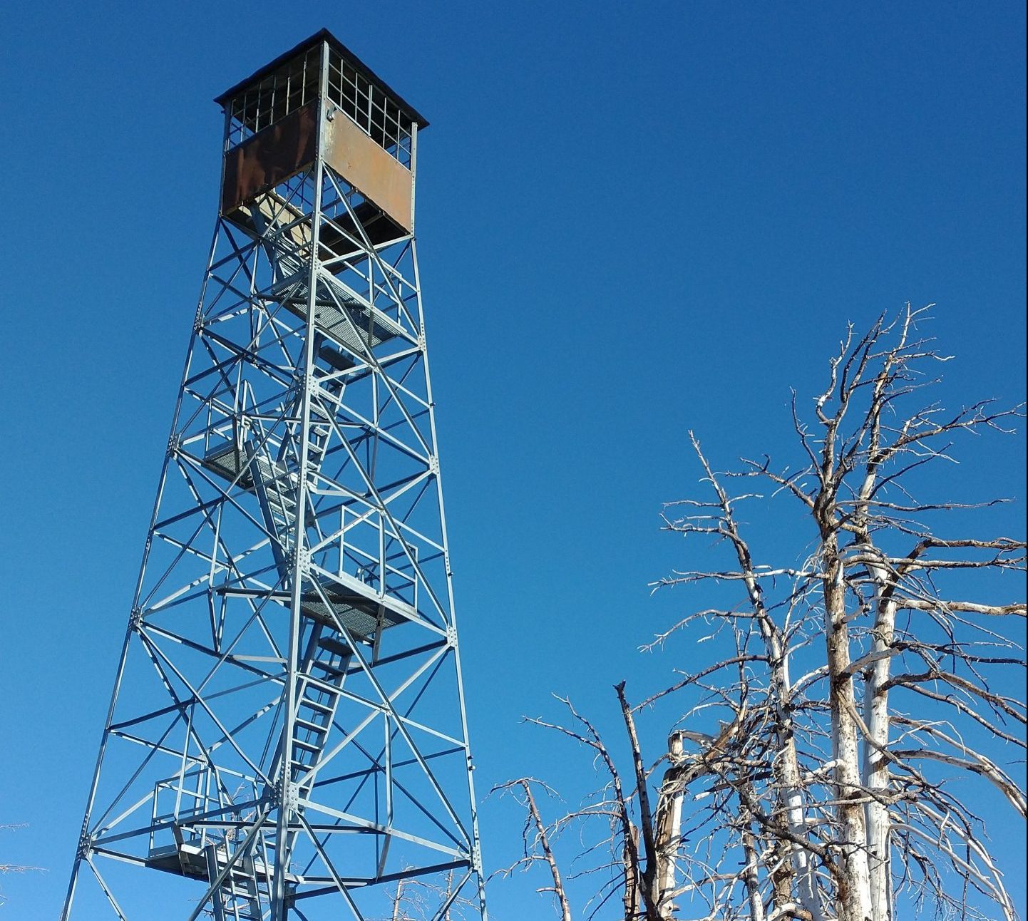
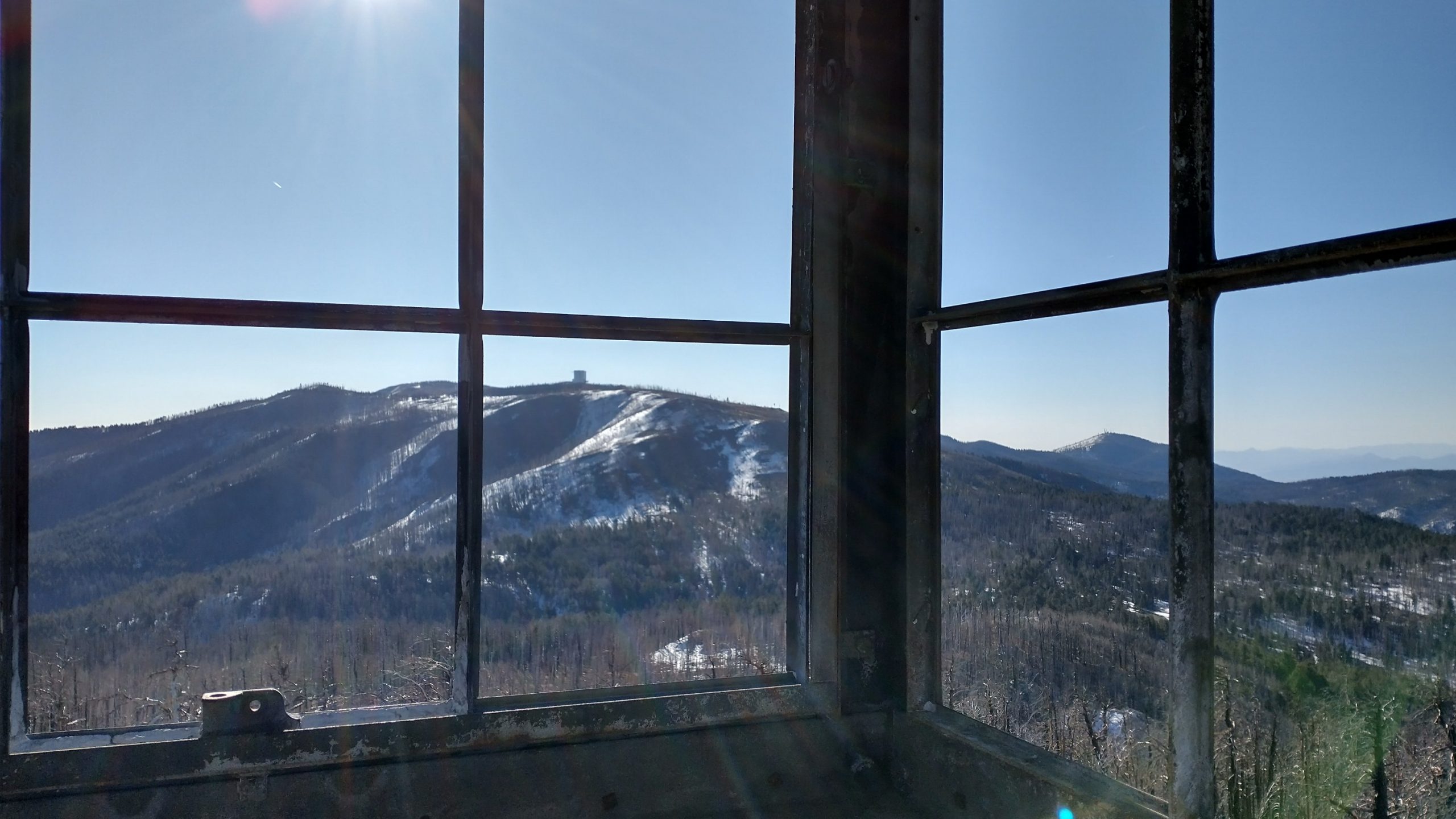
It was another fun-packed day in the high mountains. We were off early, walking the road that’s known as Swift Trail most of the day. It was built by the CCC. The upper part was still snow-bound but it was easy to walk over the frozen crust in the morning. We skipped a north-facing trail that led to Webb peak, instead opting for a cross country route that brought us to the 10,000′ top (highest point on the GET route in AZ) with minimal snow. This peak also had a nice fire tower, with views to nearby Mt Graham at almost 11,000′. It rises 8,000′ from the desert floor, standing as boldly and dramatic as Pikes Peak in Colorado. The summit is closed to the public in protection of the endangered red squirrel and also out of respect to the First Peoples, who hold the mountain sacred.
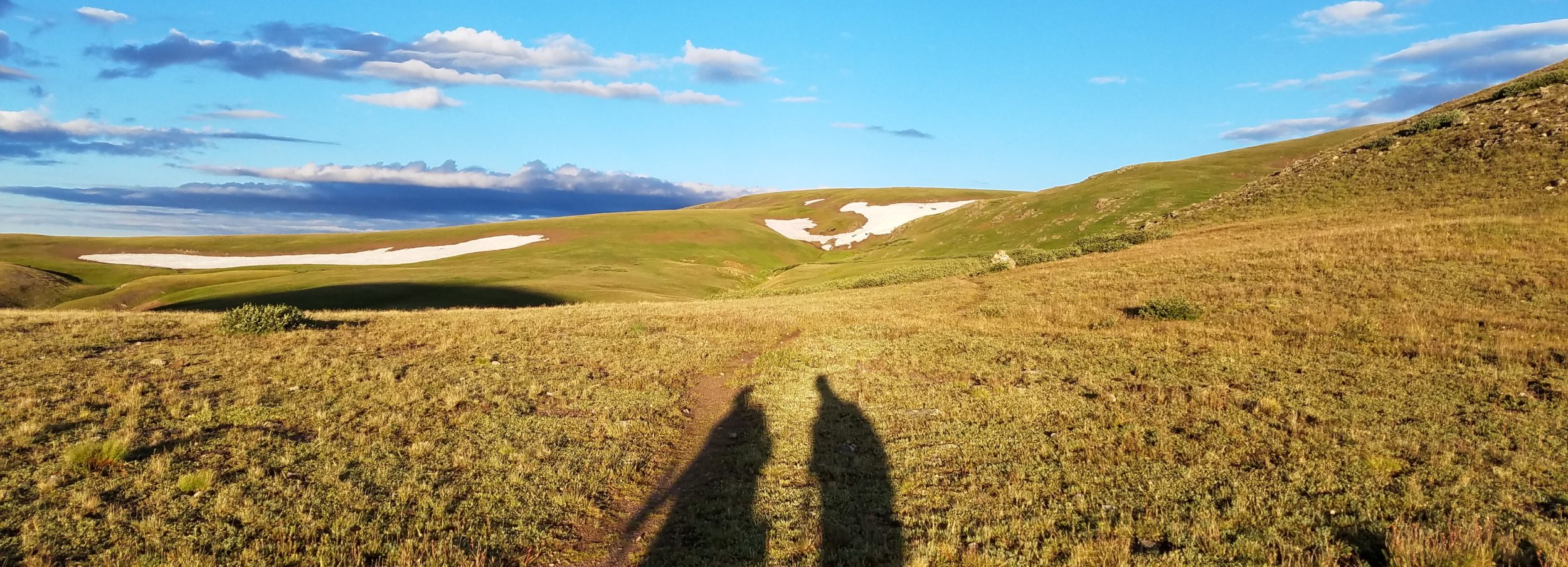
We took a break to collect water and snack. From Webb Peak, we were to have gone down Ash Creek canyon, but the trail was destroyed during the Frye fire and flooding, so now we had to take a much longer alt, an additional 16 miles. We continued on the road, passing several campgrounds and even a (closed) visitor center. We met a forest service biologist who was hunting Aberts squirrels. They were introduced to this area by Fish & Wildlife years ago and now were competing with and displacing the endangered red squirrel. He asked if we had seen any but we hadn’t (later we saw several by Shannon campground while we had lunch). He suspected that many were still hibernating. After all, conditions were still resembling winter up here. I was wearing all my layers except my pants through most of the morning, it was so cold.
We walked more road miles, all the way to the beginning of the Arcadia Trail. We saw about 3 vehicles on the dirt road, probably all heading to the observatory since the road was still closed to the public beyond where it’s paved. At the pavement, traffic started to pick up a bit more. The trail we were to take bypassed the north side of Heliograph peak and was shorter than the road by about 9 miles. But it was very snow-bound still. We went in about half a mile, postholing up to our thighs like crazy. Studying the map, we deemed the north east face of Heliograph peak to be too dangerous with the snow and a steep traverse and reluctantly turned around, back to the road. We had made it so far along the mountain but now felt a bit dejected having to walk the paved road more. It was going to be hard on our feet, plus hours of extra miles that we hadn’t planned on.
After all the alternates the past 2 days, we felt like we were on plan C or D. We decided to try getting a ride down to where we could pick up the trail again, hopefully below the snow line. The first truck we saw pulled over. It was one that passed us earlier on the way to the observatory. Jose was on the maintenance team and even plowed the road, so we had him to thank for the easy road walk up above. We also had him to thank for sparing us the long paved road walk. I sat in the back on the floor because the seats were filled with water jugs and other things. My penance for yellow-blazing soon arrived in the form of the worst car sickness. My awkward position and the sinuous road really did me in. I couldn’t wait to get out and had to sit on the side of the road for 10 minutes just to revive enough to walk again.
Fortunately the Round the Mountain trail was in great shape and a pleasure to walk. We’d been transported well below the snow and the habitat was dry desert scrub once again. Gone were the huge spruce, firs, and ponderosa, which was too bad because I felt like I didn’t get enough of them during our visit to the mountain top. This is the farthest south that such a forest exists. But the cold and snow were a bit much and now we were stripping layers, adjusting to the 80 degree temperatures. My poor body, going through so many adjustments this day. The trail went over a few ridges but then mostly down. We passed several creeks which were flowing well with all the snow melt. Eventually we wound down out of the national forest boundary and into cow country once again. Moo. We settled in for the night along a creek, under the mesquite and among the cow dung. We tried hard to find spots that weren’t obvious cow highways…I always worry about getting run over at night, especially with a camo tent. Are cows that dumb? Probably.