(Scroll down to see the post for this day)
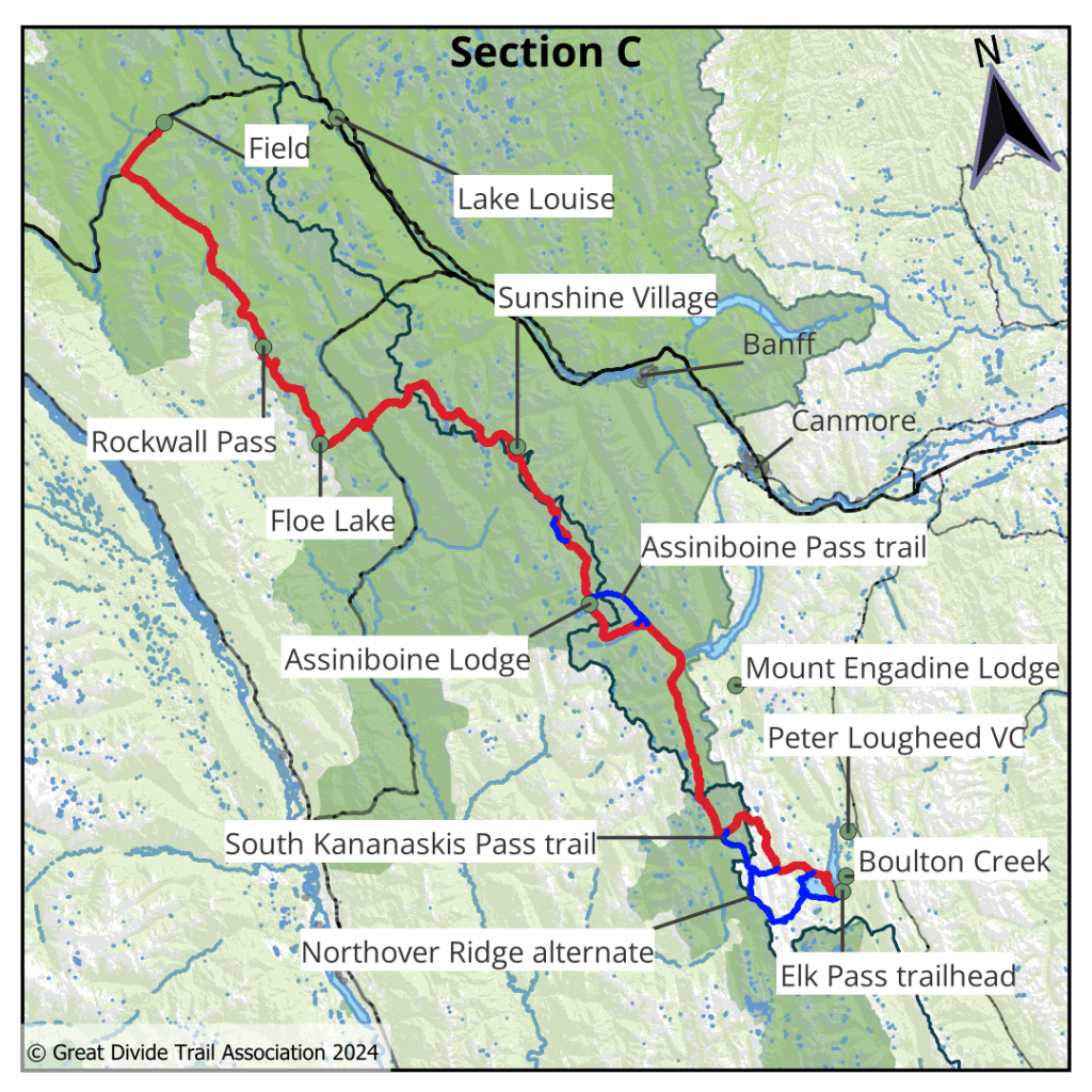
Section C – 207km / 129mi, Alternates: Northover Ridge – This section goes through some of the most popular national parks in all of Canada: Banff, Kootenay and Yoho. As such, backcountry permits are required and most of the trails are well-maintained and signed. Leaving Peter Lougheed, the trail follows a beautiful lake, with the option of taking the incredible Northover Ridge Alt, which is a challenging knife edge route with exposure and loose scree. A day later, the trail enters Banff NP and becomes a lot more crowded. The trail then crosses the Divide at Wonder Pass and enters BC and Mount Assiniboine Provincial Park, often called the Matterhorn of North America. From the campgrounds at Lake Magog and Lake Og, the trail heads through the Valley of the Rocks, up to Citadel Pass, and back into Banff NP.
It’s a pleasant hike through meadows past Howard Douglas lake and Quartz Hill, to the Sunshine Ski Resort, where there’s a restaurant and gondola to the main parking lot. There, shuttle buses or taxis are available to Banff and Lake Louise, providing an earlier exit for a town stop. The trail passes more meadows and lakes, then descends steeply to cross highway 93 and begin the extremely popular Rockwall trail to Floe Lake in Kootenay National Park. This section ends after a short road walk along highway 1, in the tiny town of Field. The larger towns of Lake Louise and Golden lie to the east and west, respectively.
Thursday, July 18th, 2024, 0600-1800
Boulton Creek Bridge to Beatty Lake via Northover Ridge alt
18 miles plus 1.5 mile detour from campground, Gain: 4925′, Loss: 3450′, elevation 7140′
Our impromptu stealth campsite worked out just great, but of course we packed up early to avoid any problems from overbearing and irrational guys in golf carts. We needed an early start for the big day we had planned anyway. Alex and I decided to take the Northover ridge alternate, and I was a little concerned about the weather forecast. There was a chance of rain early in the day, but it was clear when we woke, so we decided to go for it. First, Alex needed to collect his resupply from the boxes and to don some new shoes he had waiting there. We walked the highway a few miles back to the trailhead and then to Upper Kananaskis Lake.
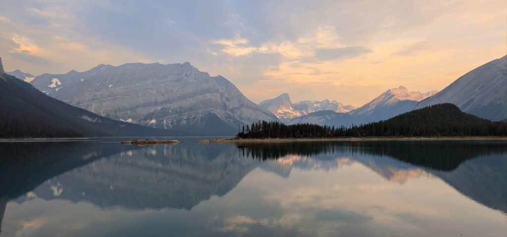
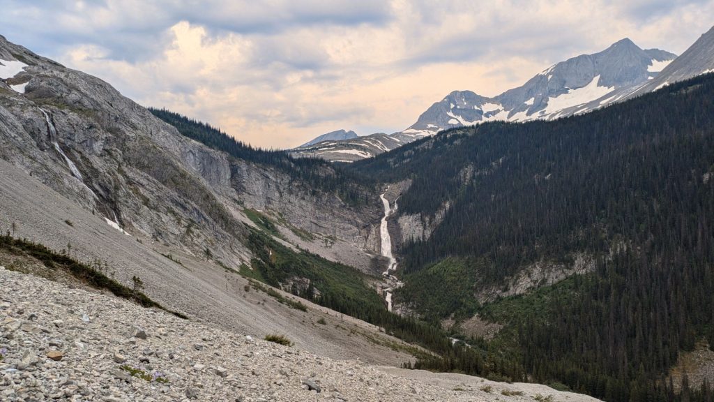
The views along the south shore were stunning, but we also noticed smoke drifting into the area, from where we had no idea. We hoped it wouldn’t affect our views of such a gorgeous area. We turned onto the trail to Aster Lake and began a pretty steep climb. We had views of an enormous waterfall as we went up. At the lake, we chatted with a few different groups about the ridge walk. Two women with a dog were unable to cross a couple of snowfields and some guys said they planned to wear crampons. I hadn’t given much thought to the prospect of snow on the route, given that my primary difficulty over the past 2 weeks had been the heat.
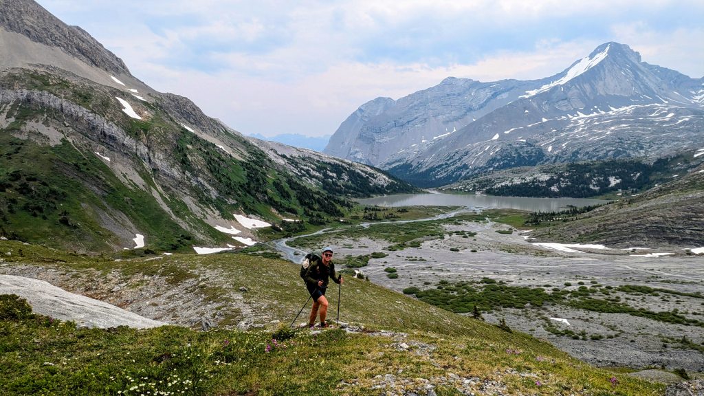
We kept going, since what other people find hard is very subjective. Past the lake, we crossed a huge glacial basin with many braided channels. It reminded me of New Zealand. The mountains rose around us and we could see several glaciers. While we were taking a break to collect water, Jan flew past us and began the steep ascent to the ridge. It was good to be able to see his route, and that he seemed to have no problem with the snow fields. We found them easy too and before long we came over a saddle into a valley with some still partially frozen tarns. I squinted to see Jan in the distance as he headed straight up a gully covered in snow.
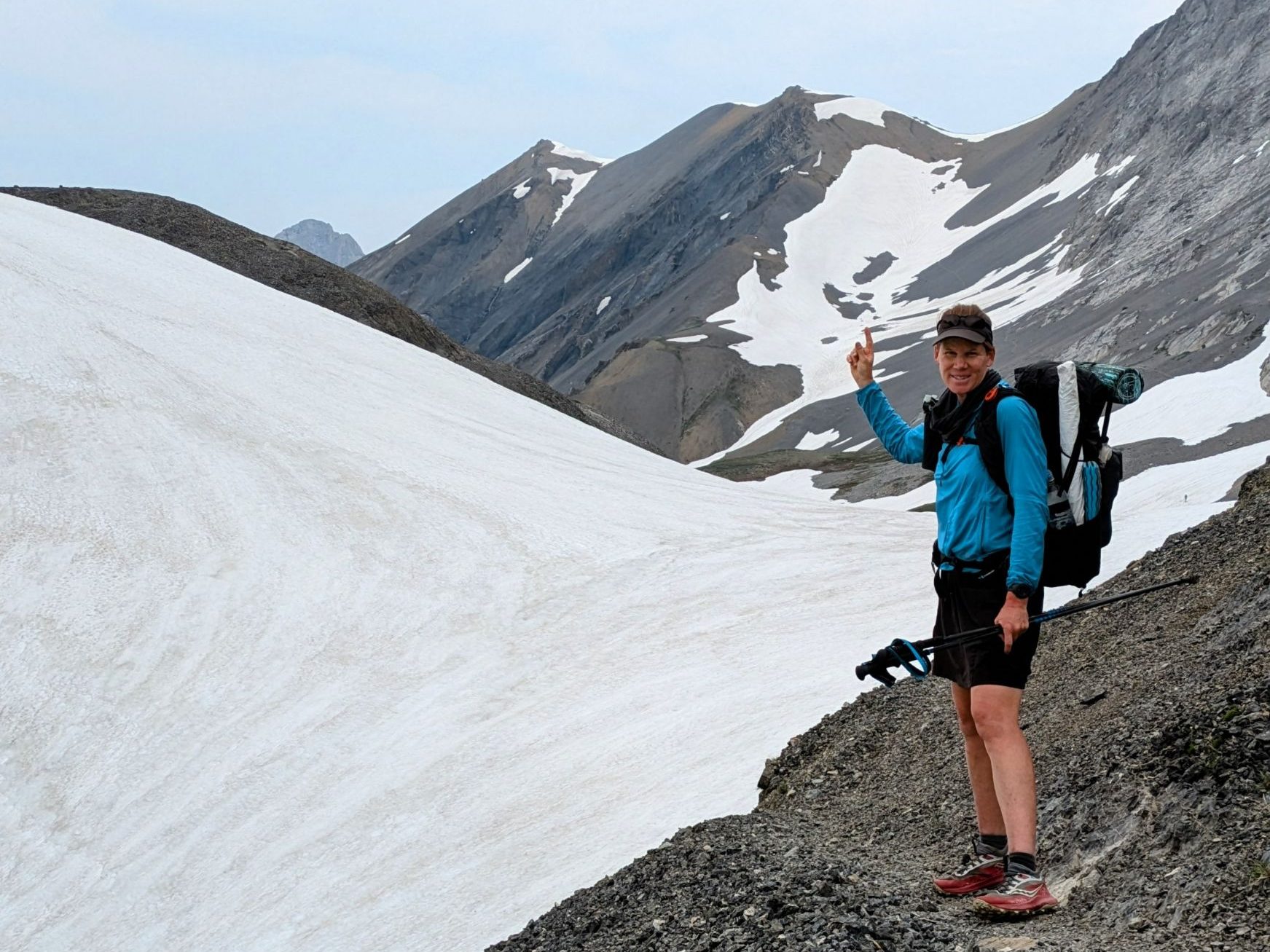
While the first snowfields had been easy, I could see this one was going to be a challenge. I followed Alex up, putting my feet exactly where his had just been. There were footsteps already kicked and the snow was pretty soft and grippy, but still. We also noted that whoever had gone before us was wearing crampons. We were just wearing our “joggers” as Alex called them. The gully got steeper and steeper and after what seemed like forever, we were still climbing and I was unable to look down. I started breathing heavy, which didn’t help things.
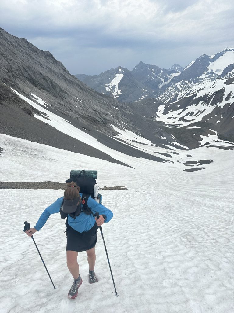
Alex had absolutely no problem whatsoever with the snow, so I tried to focus on his calm demeanor. In retrospect, I shouldn’t have followed him straight up the gully, but rather cut to the right to find the dry ground above the snow field as soon as it was available. The footing would have been crumbly and more tedious, but at least I would have minimized the distance I might have slid. It’s not always best to follow someone that is way more confident than yourself. But we made it without incident and I breathed a huge sigh of relief as we gained the ridge. But the fun wasn’t over yet. The biggest challenge of Northover Ridge is the supposed knife-edge section, with hundreds of feet of exposure on either side.
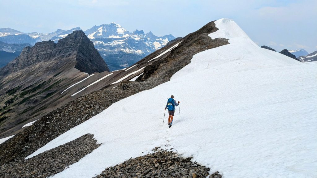
Jan was taking a break at the top and we briefly joined him. Alex’s pack tried to take another dive off a cliff, falling over and taking a roll before Alex stopped its momentum. That ornery pack. I was too anxious about the ridge to take off my pack. I was worried about all the cornices I could see ahead, even though some guys had told us the ridge itself was free of snow. This was indeed the case, aside from a few small patches that were relatively flat. For a bit I was able to just relax and enjoy the ridge since it was relatively easy and cruisy. The views were stunning, with so many jagged mountain peaks jutting everywhere, plus all the snow and glaciers.
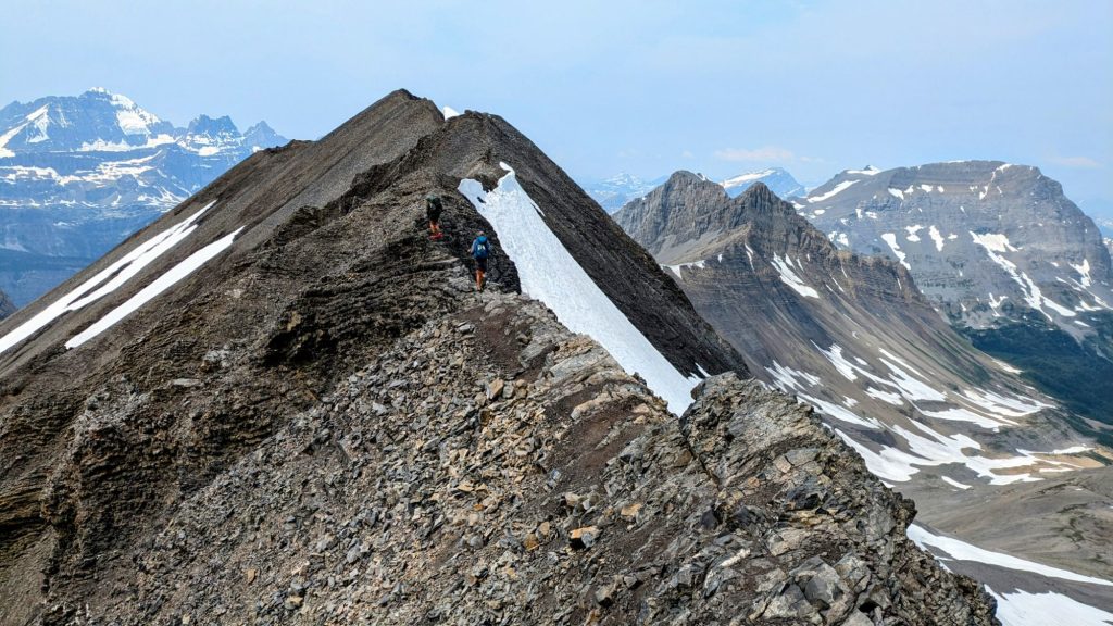
We finally got to the knife-edge part and it was a bit uncomfortable for me. There were some pretty significant drop offs on either side and crumbly rock which felt like it might let go at any time. The trail was always a couple feet wide, but it felt pretty sketchy in a few places. It definitely got my heart rate up and I had to pause in one spot, talking myself through. The guys again seemed to have no qualms about it. Why did these guys I hiked with always have to make it look so easy? Truth be told, I went through just as fast as them, with all of us setting a blazing pace. So I guess it wasn’t that bad.
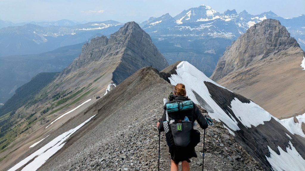
In total, the ridge was only about a mile and half in length. We reached a maximum elevation of about 9085′, which was by far the highest we’d been (and would be) along the entire GDT. We caught up to 3 guys at the end, who were the ones that had the crampons. They were also all wearing fancy mountain clothes like straight out of a Patagonia magazine, while we looked sort of more dressed for the beach. We helped take respective pictures of our groups, then we thru-hikers resumed our fast pace…miles to get done and all.
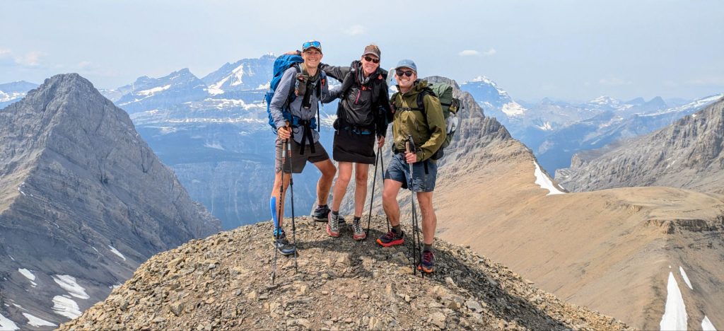
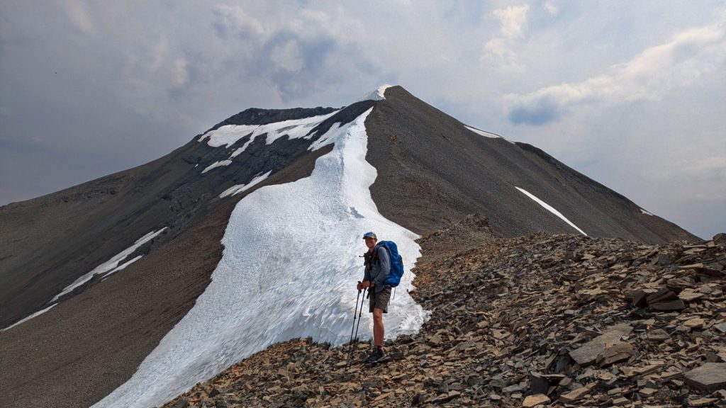
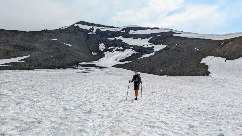
The final descent from the last peak was through steep crumbly rock and scree. We dropped 500′ in 0.3 miles to the lower ridge, and then another 1500′ in about a mile into the valley towards Three Isle Lake. We bombed down the valley, thanks to some giant snow fields (of a gentle slope) that made travel fast and easy. Alex was running the whole way and I tried some fun foot skiing, then just ran too. Finally I got to experience what it’s like to be a NOBO PCT hiker in the Sierra. They get to cut all the switchbacks going down the passes by simply sliding down the snow. The 2 miles to the lake flew by.
Then I realized that it was already 3 pm, with 15 hard miles behind me, and no more than a 15 minute break since I started 9 hours beforehand. Suddenly I felt very exhausted. All my adrenaline was drained, as I came down from an extreme upper. We made it to the lake campsite and I collapsed at the picnic table. I barely had the energy to eat or filter water. Collin came in from another trail just as we arrived, joining us for a late lunch. He had a reservation for the campsite but didn’t want to stay there, so he offered his site to Alex. Alex had quite a different reservation schedule than us (Woody, Strawbridges and me) for section C and needed to do some shorter days to stay on it.
I, on the other hand, had to do several big days in a row to keep up with our schedule, needing to go at least as far as the next lake. That’s why I was surprised when Woody showed up after an hour. I thought he’d be ahead of me this day. He gave me a pep talk to get me moving the 2.5 miles to Beatty lake, where I figured he too would stop. But Woody really liked to hike until late, so he carried on. The lake was beautiful and perfect for swimming, so I was very content in staying. I could make up the miles the next day.
The campsite did have one major problem: the resident family of porcupines. Tons of notes in Far Out warned about them chewing on gear…anything left out was fair game. Just as I was clearing a spot for my tent, I found a quill on the ground. Then another and another. Everywhere I looked I found them. I had to be careful where I stepped with my camp shoes, there were so many. Then just as I crawled into my tent for the night, here came the first little porc, making a beeline for my tent. I’d already hung my second trekking pole from a small branch and taken everything inside my tent, aside from my water bottles. I even stowed my shoes in my tent.
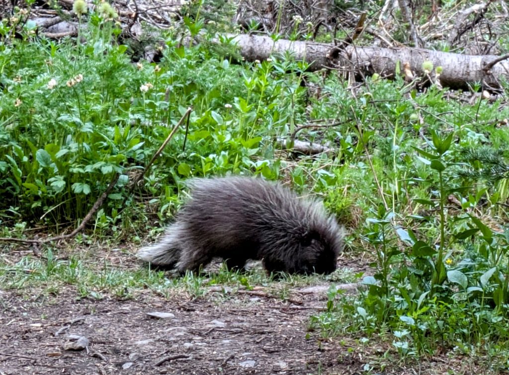
Jan and Collin were camped nearby and had never seen a porc, so I called them over to view the little guy. He was very cute, just a young one. With all of us watching, he was too shy to come any closer and wandered off. I knew he and his friends would be back though. Sure enough, about 30 minutes later I felt my tent shift, like a gust of wind had hit it. It was the little porc tugging on one of my guy lines. I had no choice but to squirt him with my water bottle…an innocent enough defense to get my point across without encountering his points. He didn’t like the squirt, so I hoped I did some effective negative reinforcement. But I figured I was in for a long night.

Hi Twig,
What happened? If you care to elaborate. Saw your latest msg with the words the end. Hmm.