January 12th
Ketetahi TH, Tongariro Crossing (km1146)- Whakapapa Village (km1173)
Mileage: 16.8mi/27km plus about 3 miles extra doing side trips to Soda Springs and Taranaki falls; also walking around town.
I was so ready for this day to start and so were many others. Cars started arriving at 4 am and there were parking authorities set up by 5 am. We hit the trail around 5:40, glad to get away from that place.
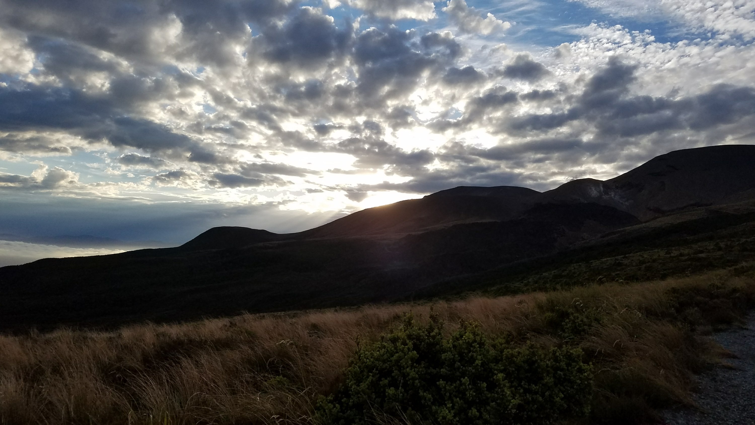
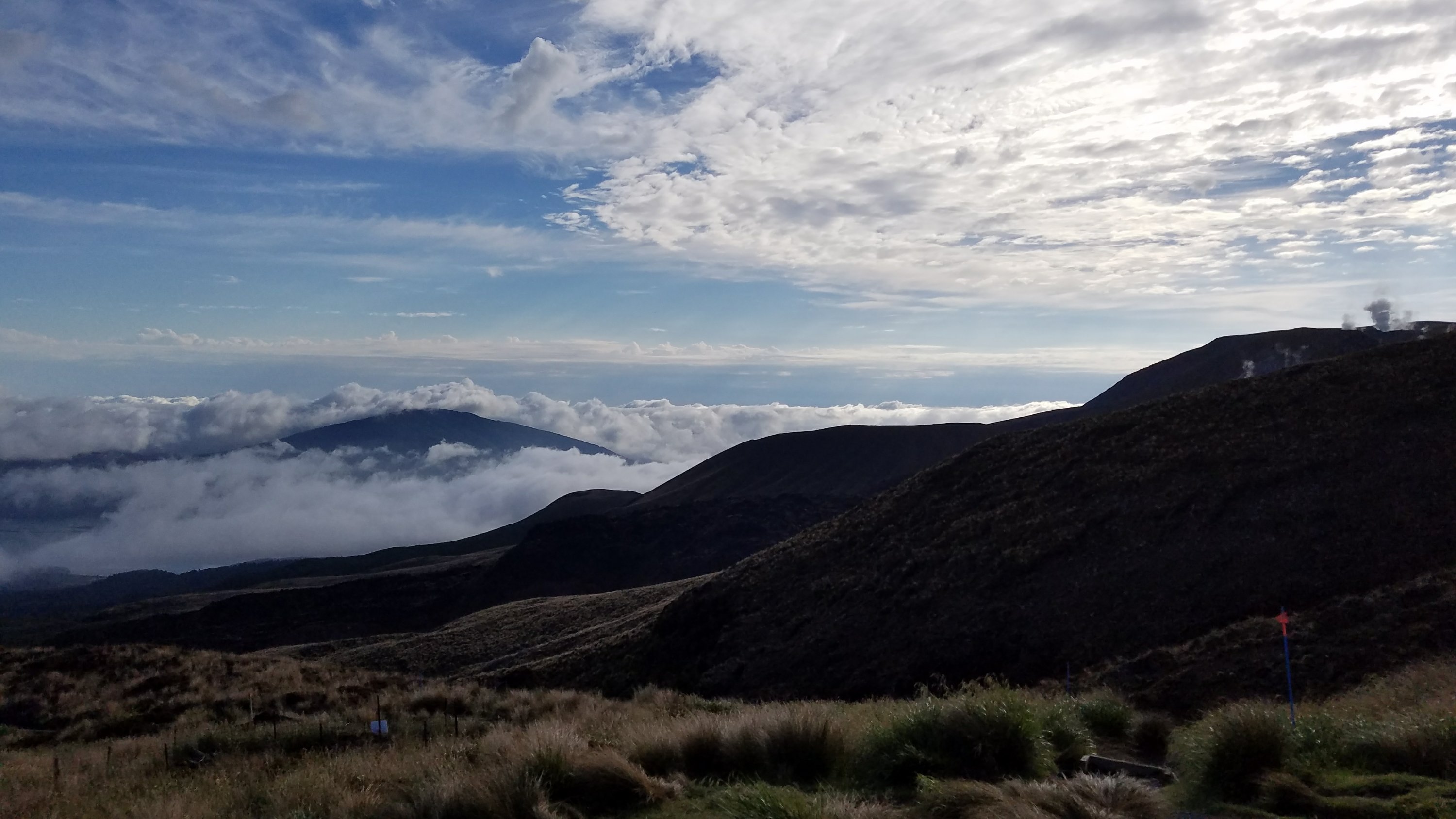
The first part of the track was through forest and a gradual climb. Then we broke out into the tundra and really began climbing, with great views of the sunrise. We would gain about 3000 feet in elevation today. The highest point of the crossing is 1186 m or 6200 feet. Mt.Ngauruhoe (Mt Doom) is 2287 m or 7500 feet high. Not bad. 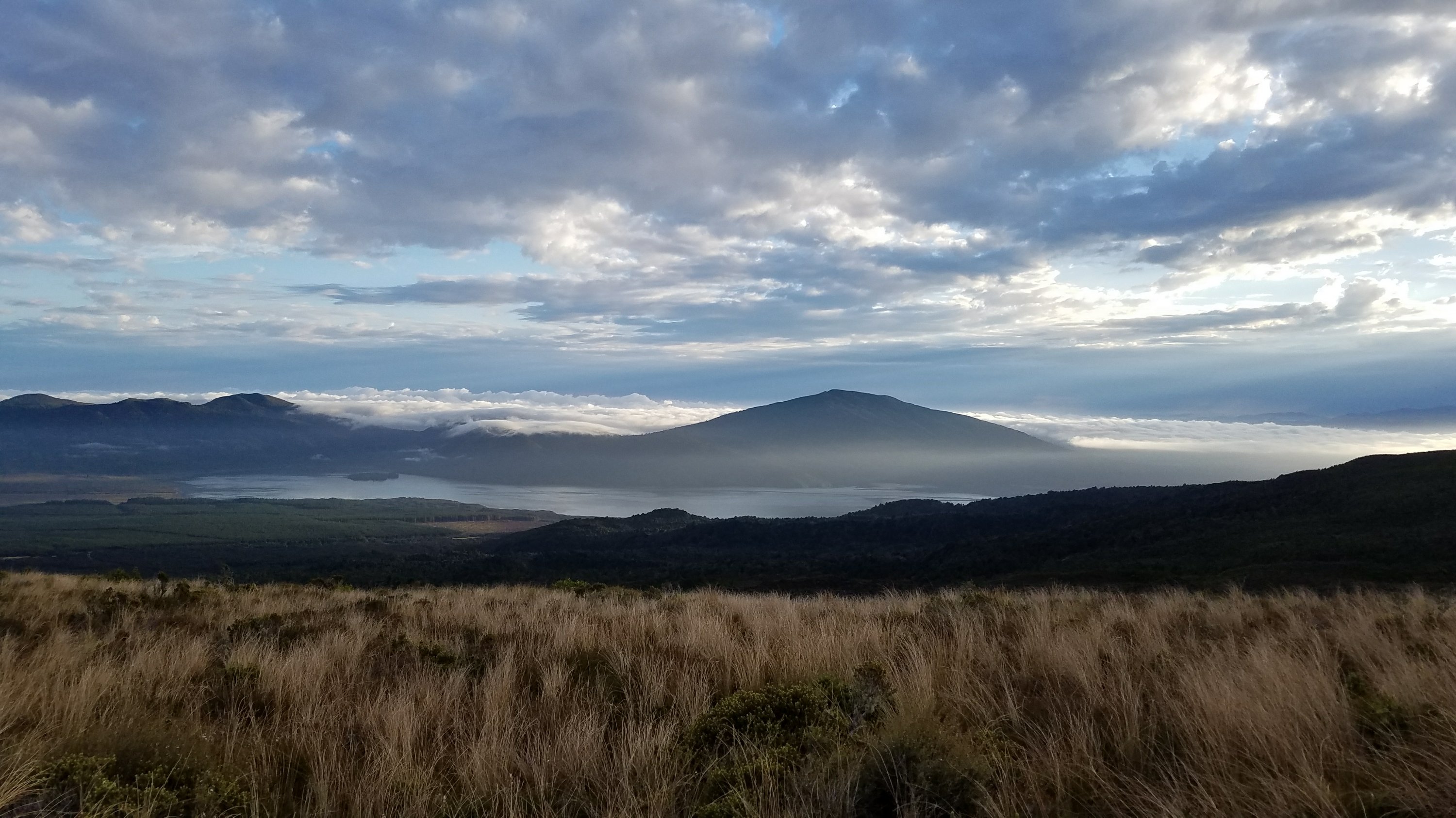
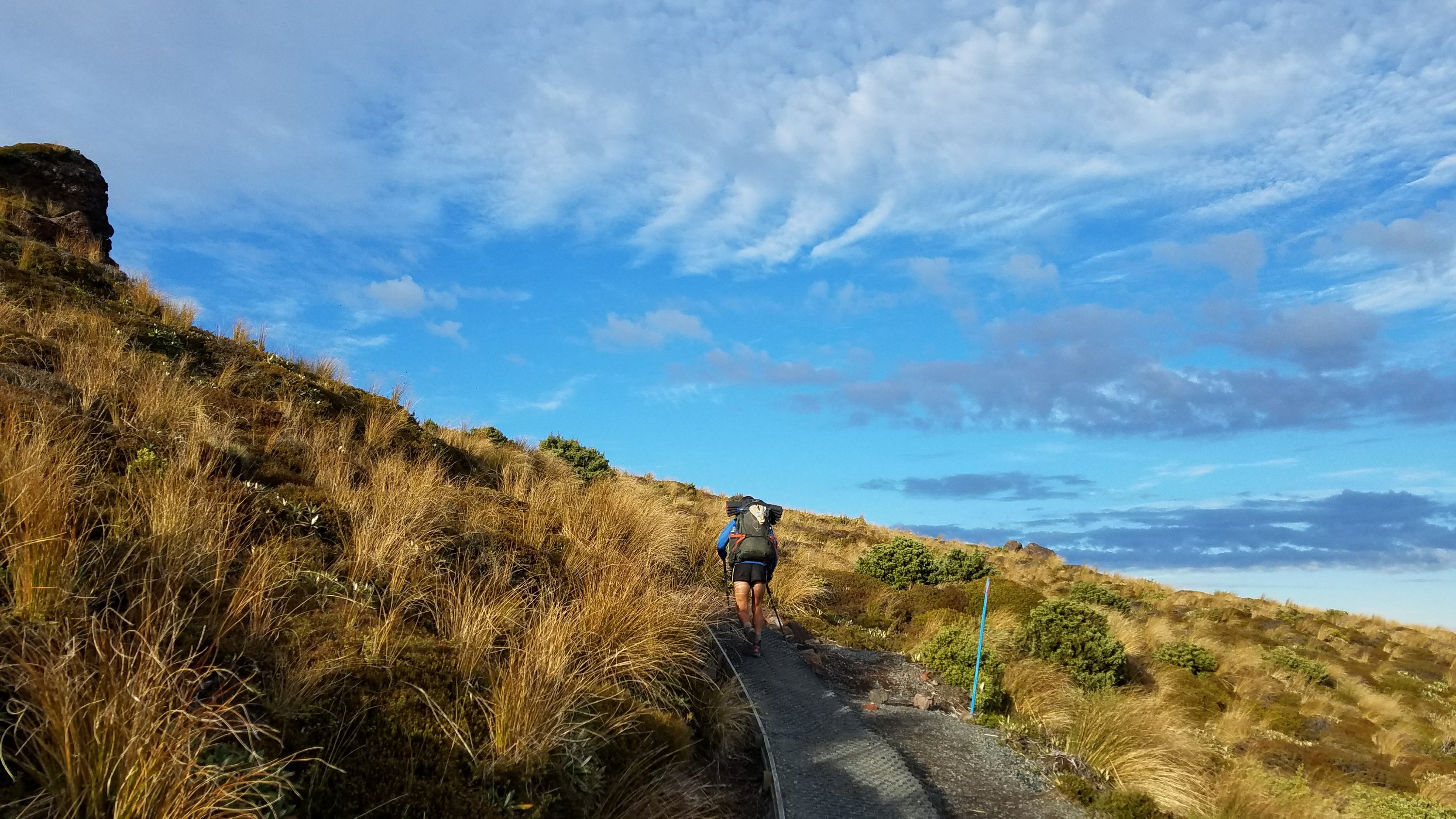 We took a break at the first hut, which is now closed after a boulder smashed through the roof, spewed by a nearby eruption. I made coffee and had my breakfast, since we had packed in a hurry earlier.
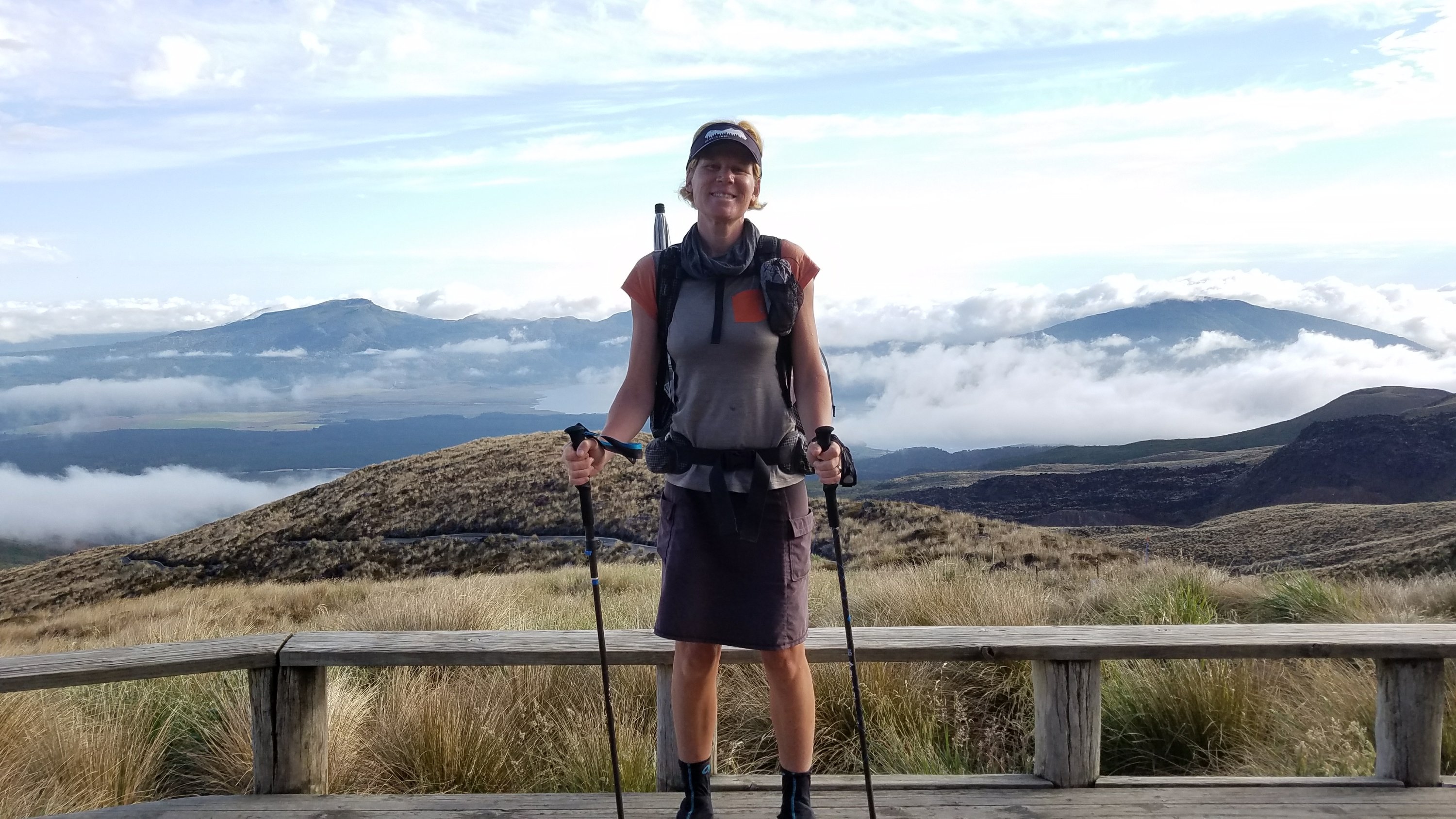 We continued climbing into the crater zone, with views of all the 3 volcanoes: Tongariro, Ngauruhoe, and Ruapehu. Many liken the surroundings to being on the surface of the moon. There is little to no vegetation and just spectacular geology. I did this hike as part of the Northern Circuit the first time I visited NZ, but I will never tire of the views. I’d walk it every day in good weather.
 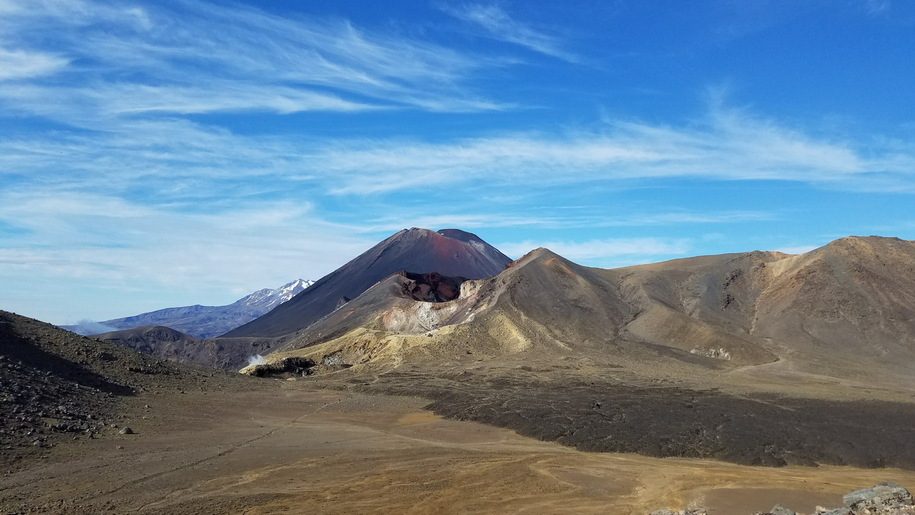 We climbed further up the steep flanks of red crater, sliding down 2 feet for every foot we gained because of all the loose sand and ash. It was hard with a full pack. We also began to encounter hordes of people, all going the opposite direction. We got some strange looks because of our heading and packs, but I was just focused on not sliding back down the slope. Connor seemed to sprint up like a mountain goat.
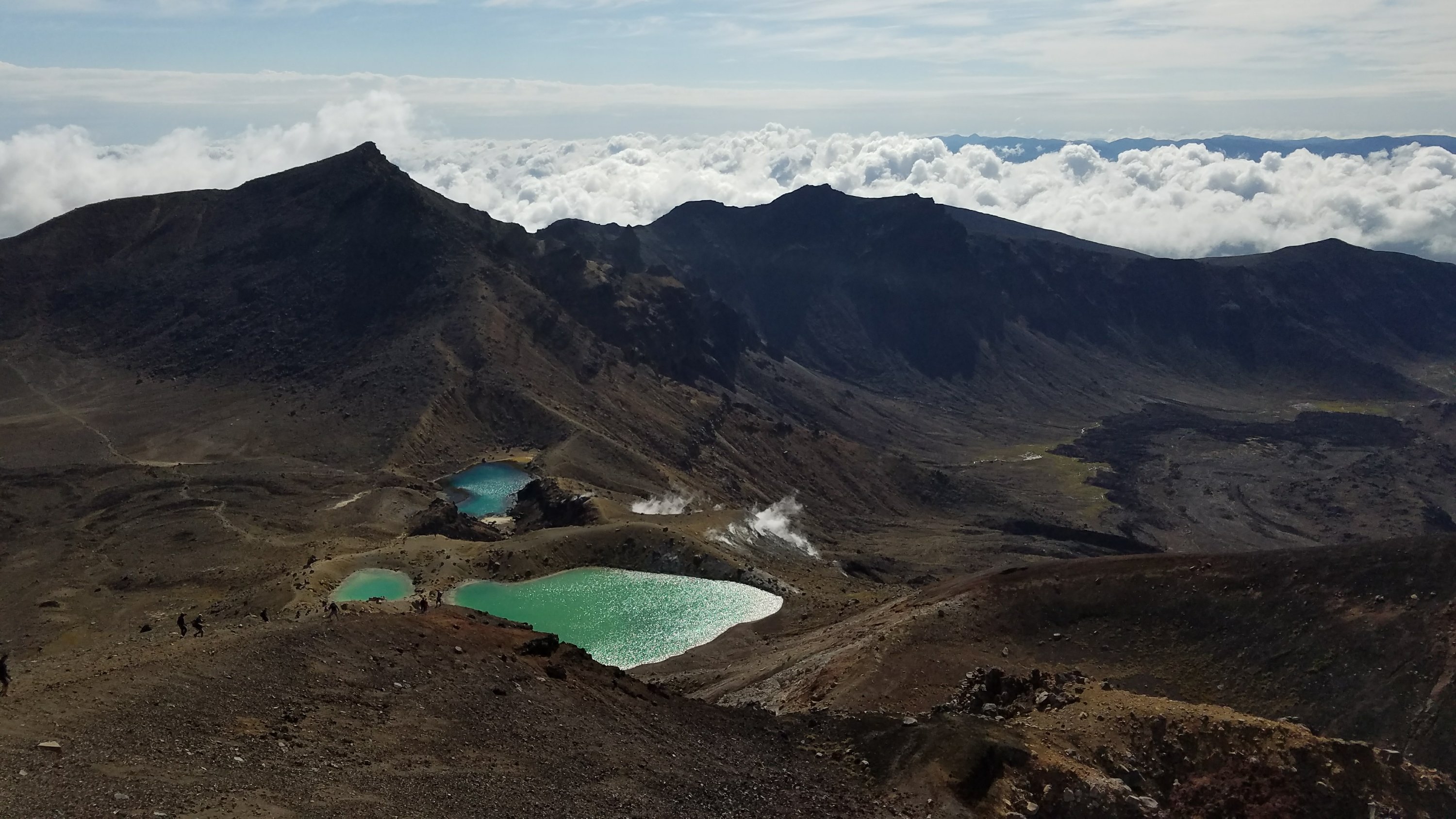
At the top were views of the Emerald lakes, a succession of 3 green lakes/craters that are colored by leeched minerals. They are one of the most photographed parts of the crossing and always spectacular, no matter how many people cloud your pictures. 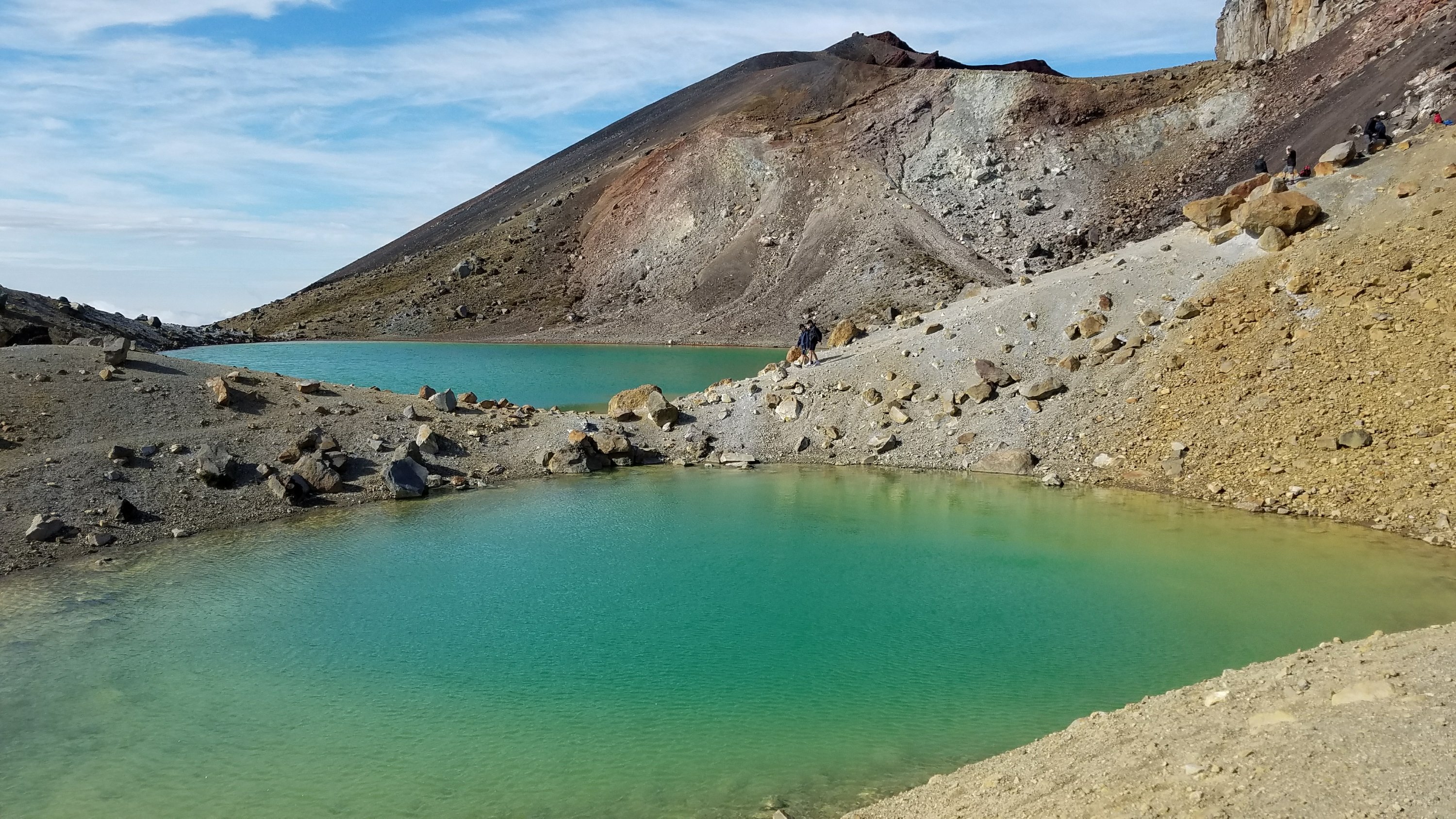
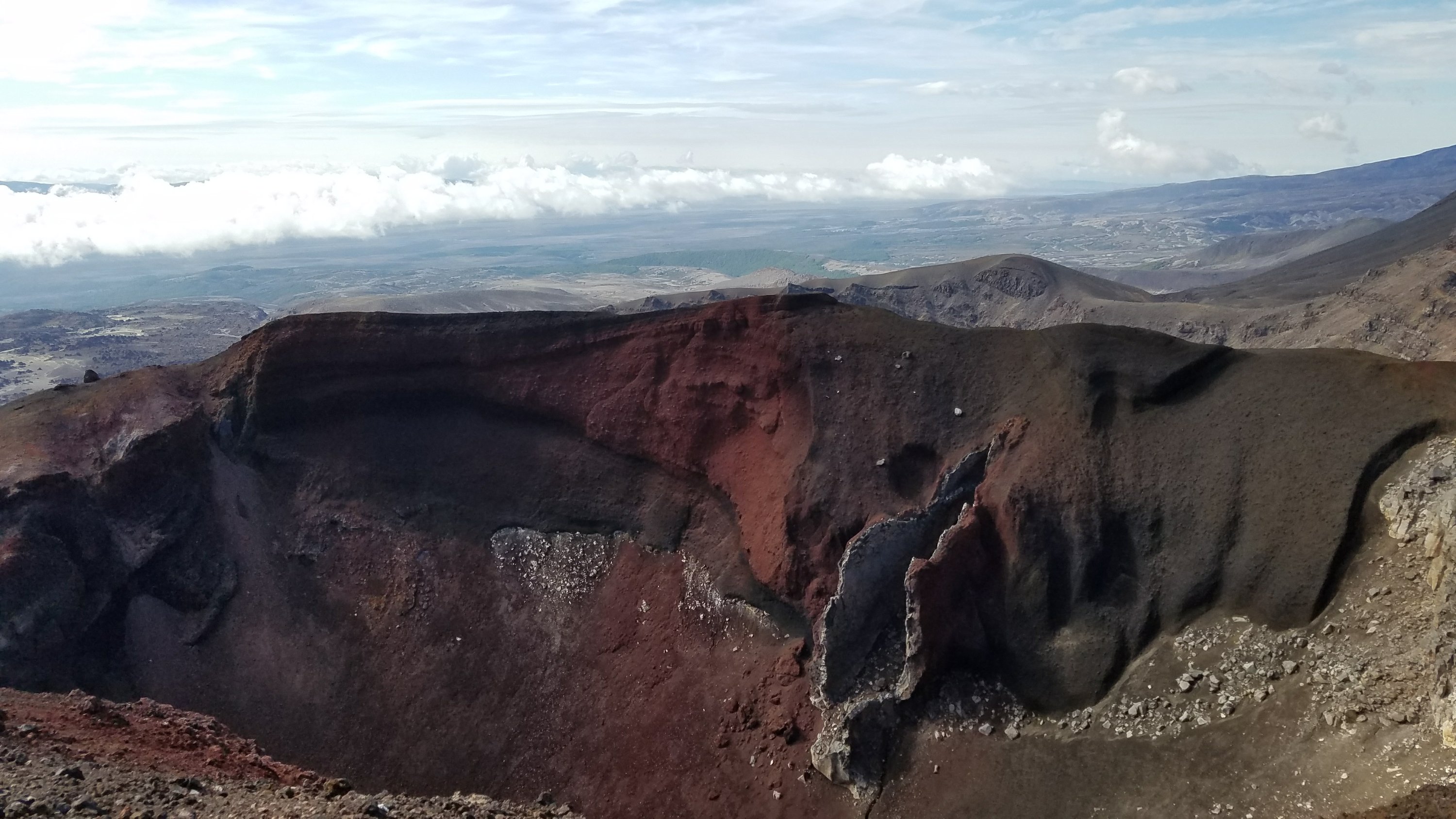
 Red crater is very distinct too.
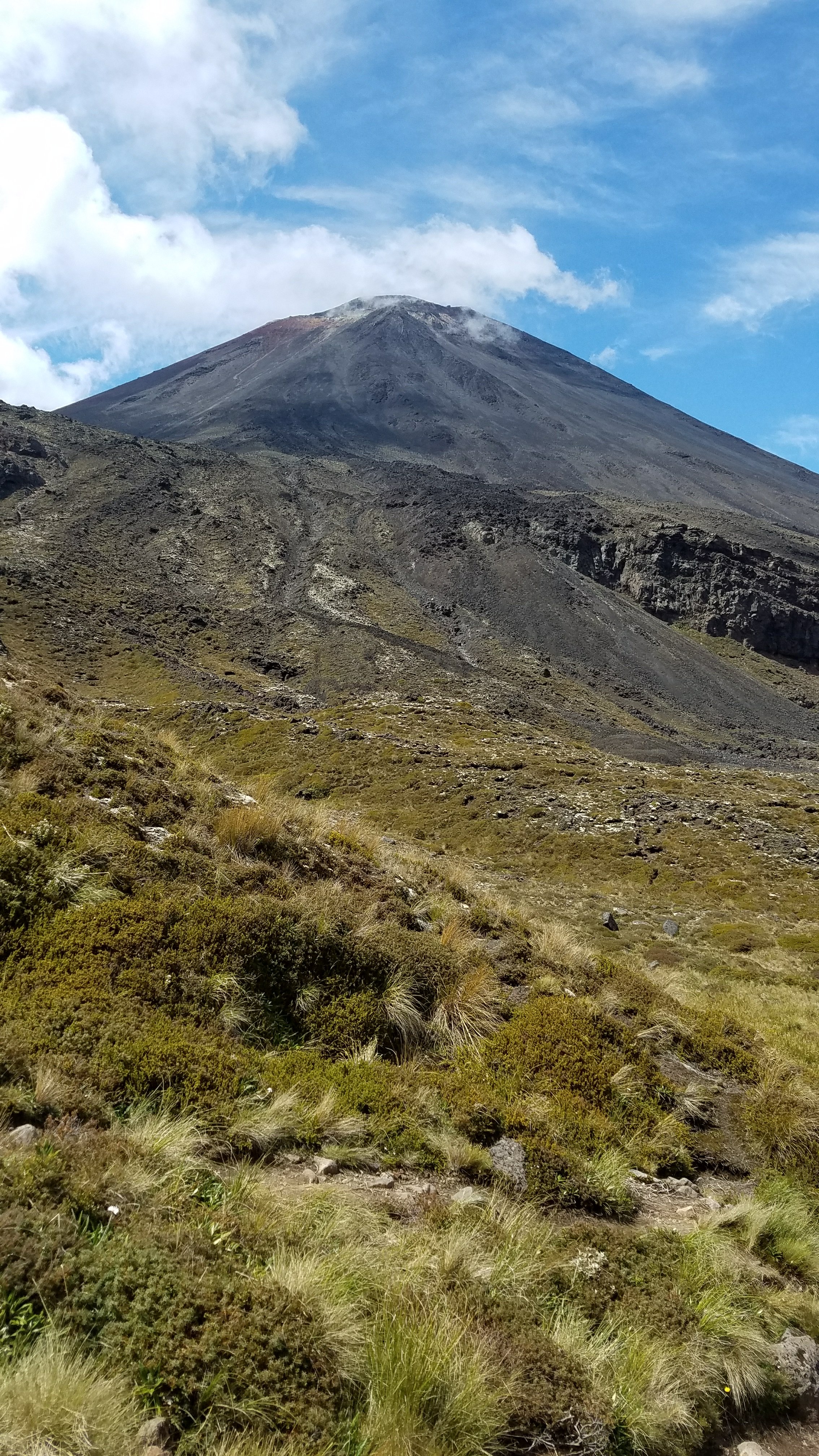
  Then there’s the infamous Mt. Doom.
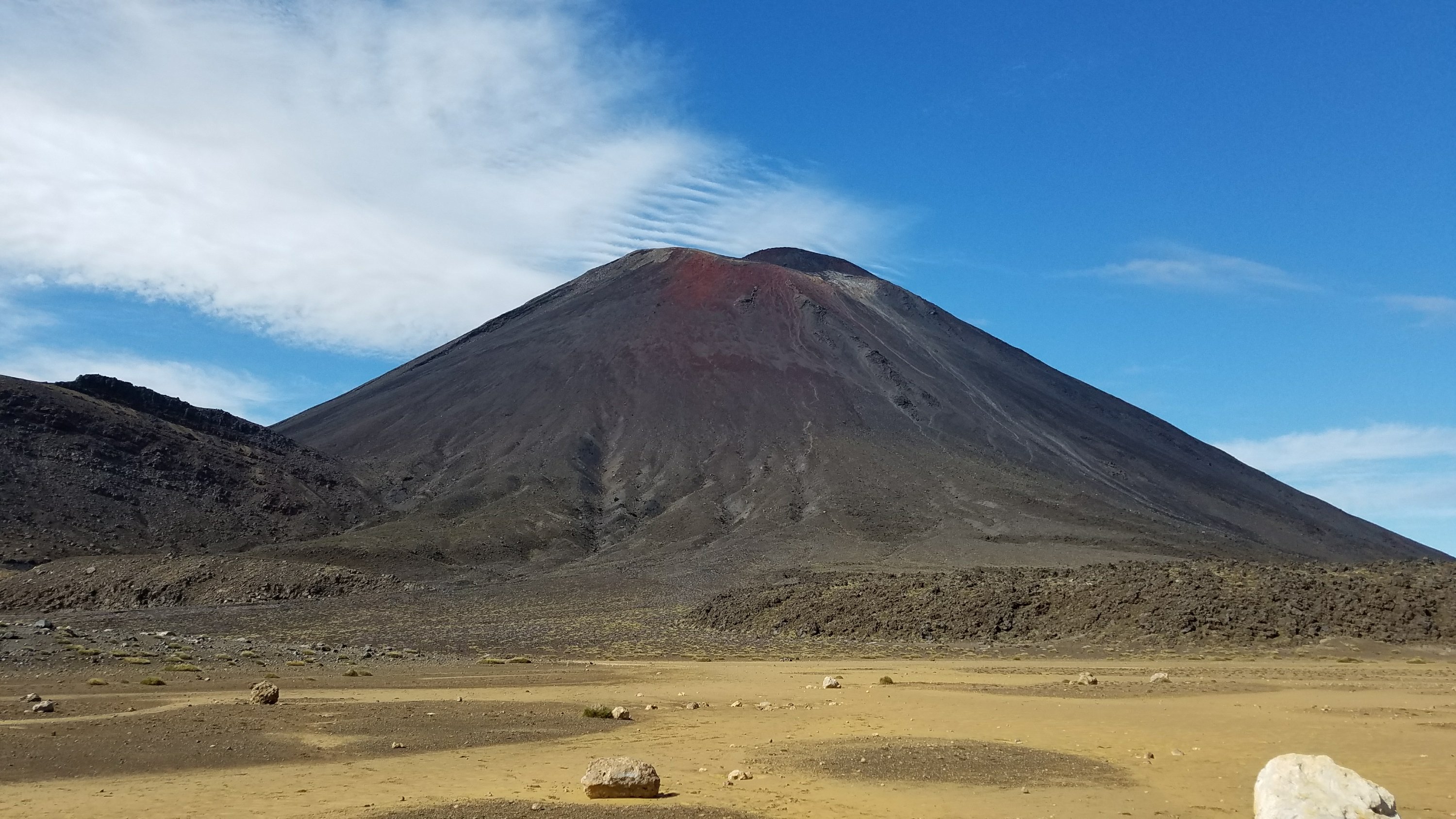
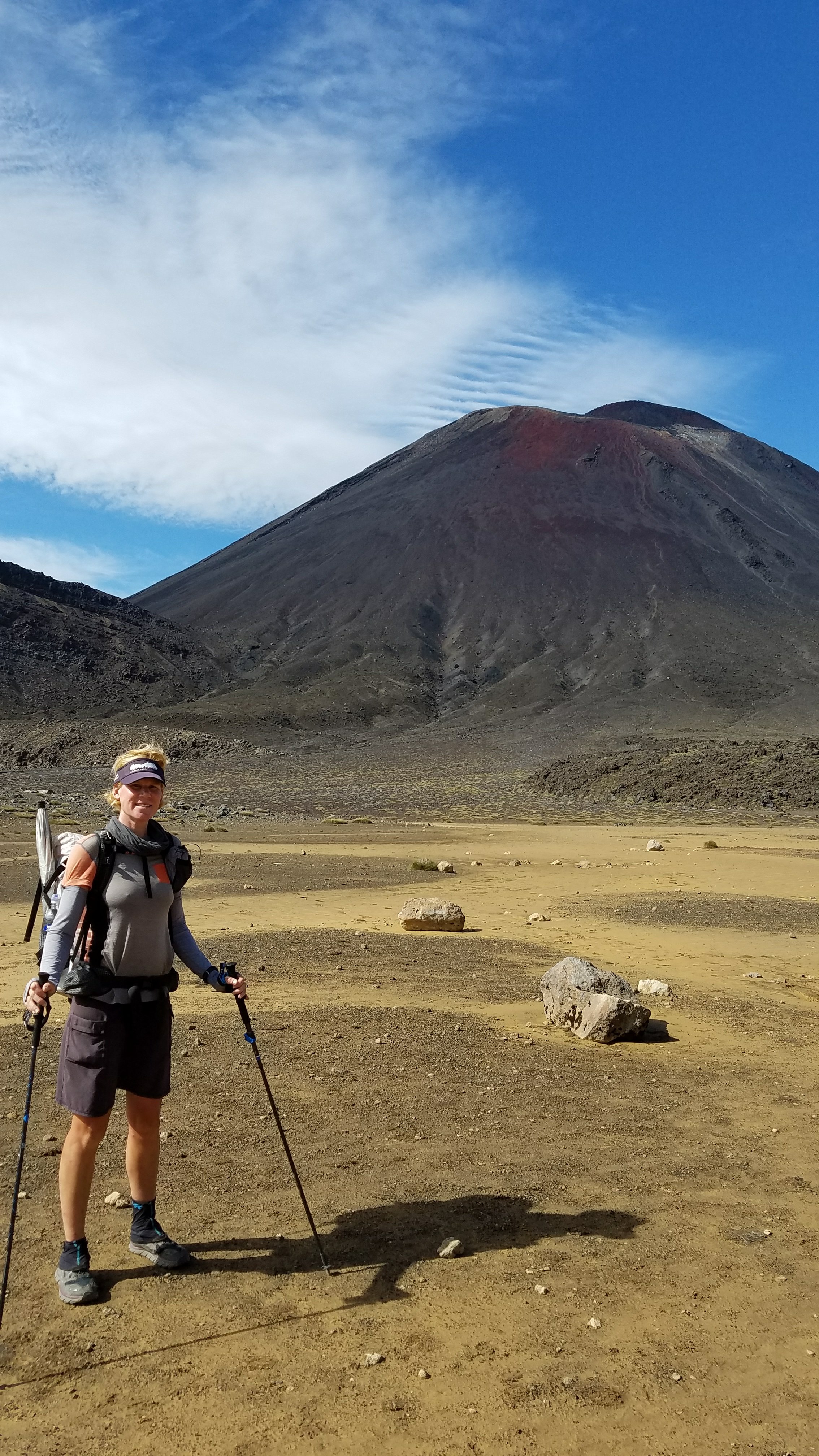
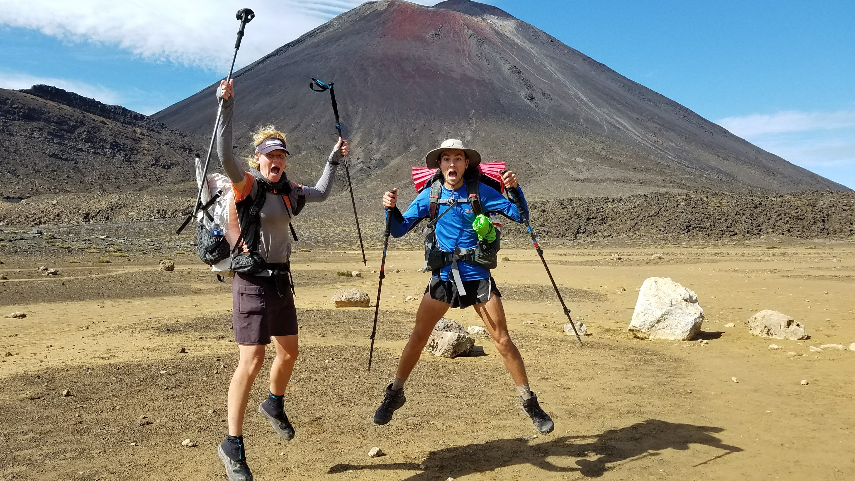 We fully intended to do the side trip up to the top of Ngauruhoe but DOC has recently removed the markers and discourages people from doing so, since the mountains are considered sacred by Maori people. We met a very nice DOC warden, Ash, in the vicinity and talked to her for awhile. She is Maori and was able to better explain the reasoning. As much as I wanted to see the views from up top, it would have been disrespectful of local customs and a bad representation in front of her and all the other tourists. We didn’t want to be ‘those people.’ So Mt. Doom will have to remain at peace and viewed from afar.
  We also ran into Vivian, who was just doing a day hike. Last I saw her she was doing the Timber Trail NOBO and before that I first met her on the beaches in Northland. I barely recognized her without her pack. A TA hiker disguised as a day walker. It was nice to chat with her again.
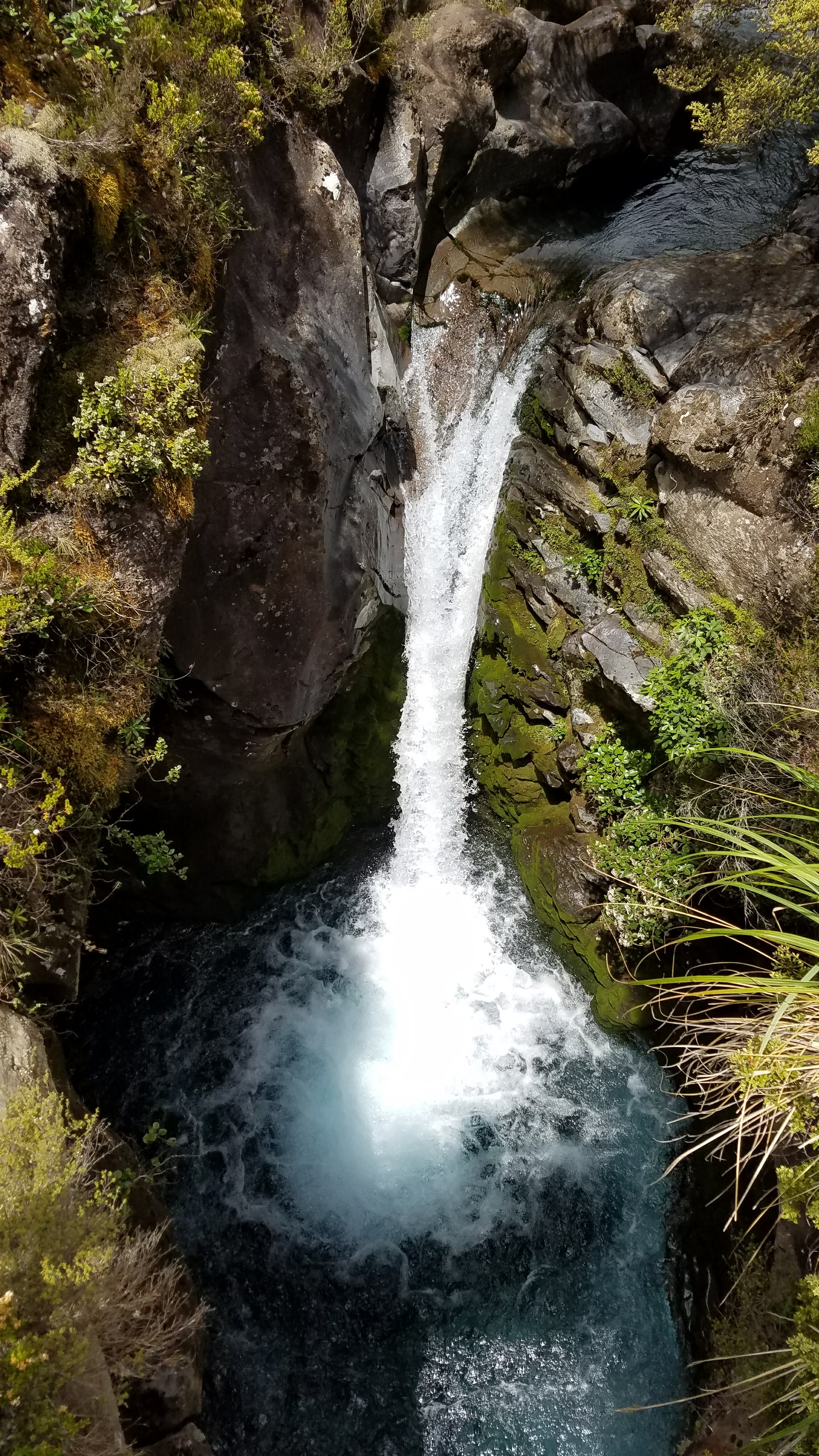
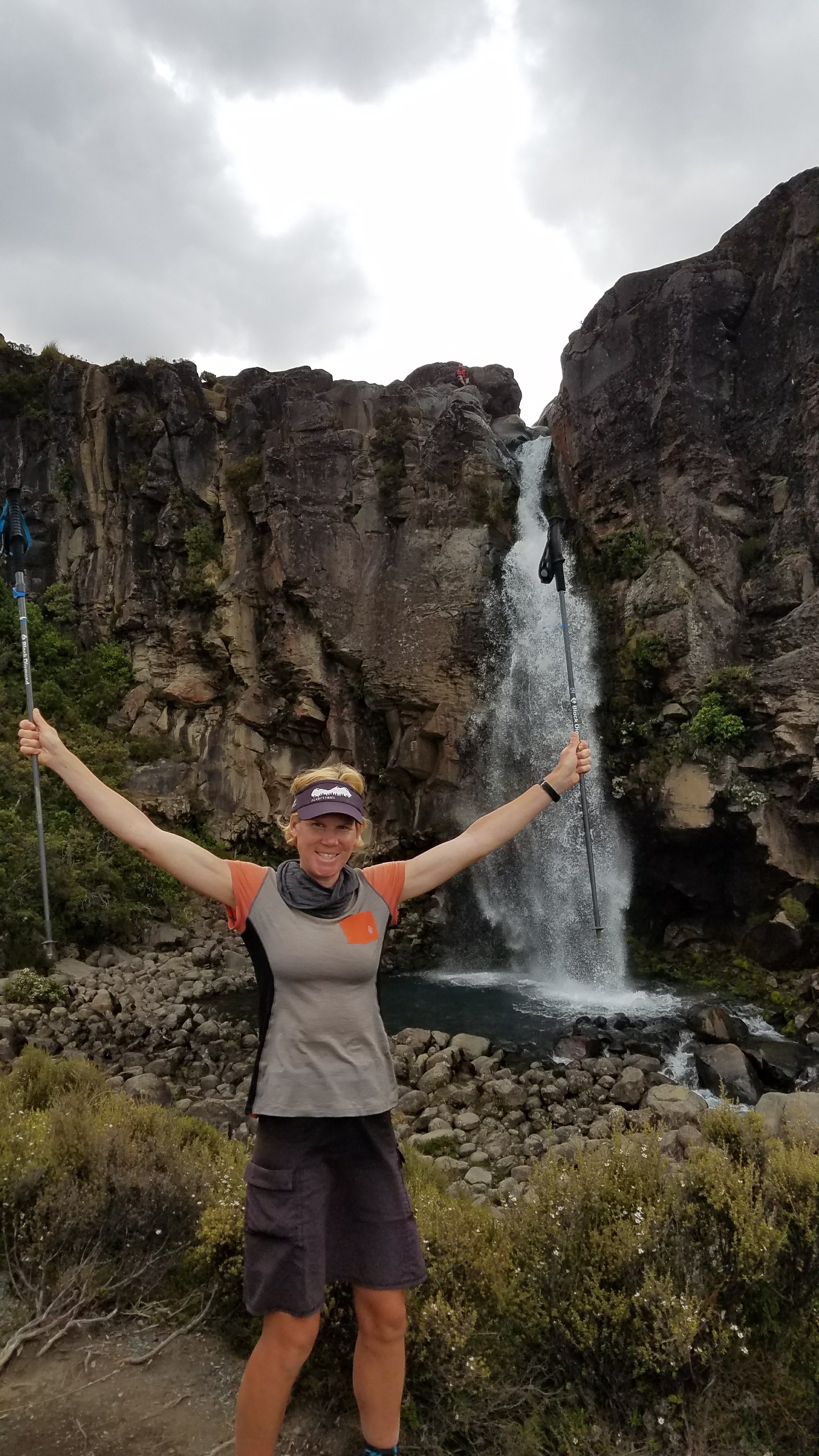
DOC has gone to great lengths to camouflage all the toilets. 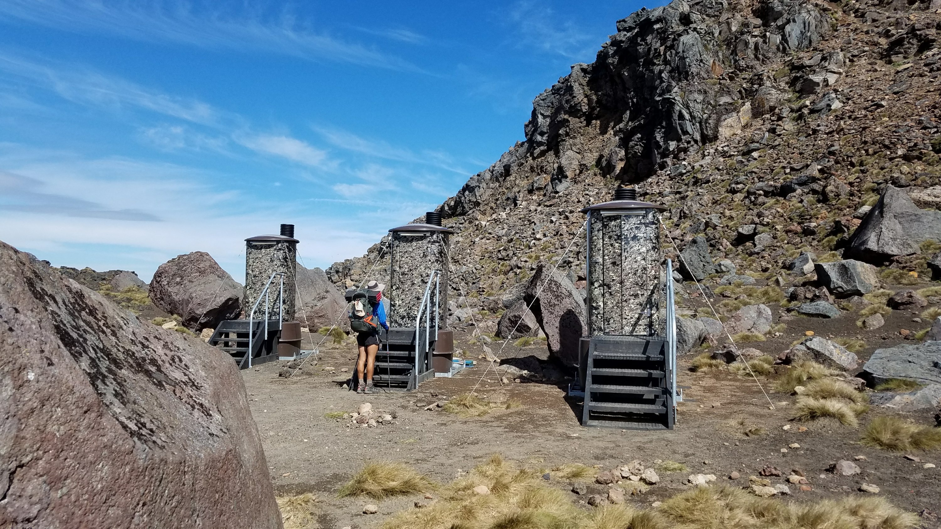 Since we started so early, had beautiful weather, and didn’t do the 3 hr return climb up Mt Doom, we had plenty of time for other fun side trips. We went to see Soda Springs, the headwaters of the river we swam in the day before. Then we did a side trip to Taranaki Falls, which was well worth the effort.
 We reached Whakapapa village around 3:30 pm and decided to reward ourselves with a $25 Thunder Burger at the Tussock bar and restaurant. That’s a lot for a burger but it was the biggest one I’ve ever eaten. I had to cut it in half. It came with fries and a salad too. It served as my late lunch and dinner, so pretty good value. After this, we were too stuffed to hike anymore. The holiday park was full so we went near the trailhead and found a lovely spot, totally unlike the night before. We were very tired from such an exciting day and lack of sleep, so an early bedtime was well received.
