Thursday Sept 30th, 2021, 0625-1940
Near Humpback Rocks to Spy Rock Junction, SOBO AT mm 1367.3
27 miles
7350 gain, 6070 loss
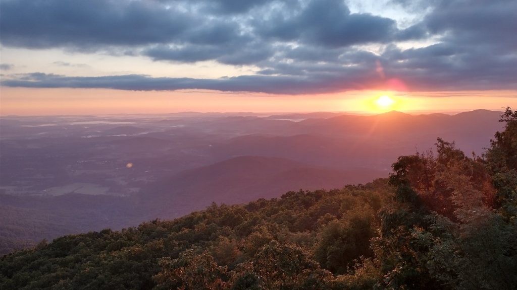
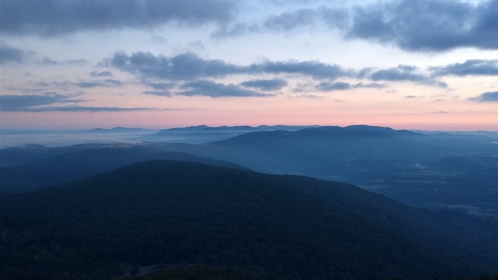
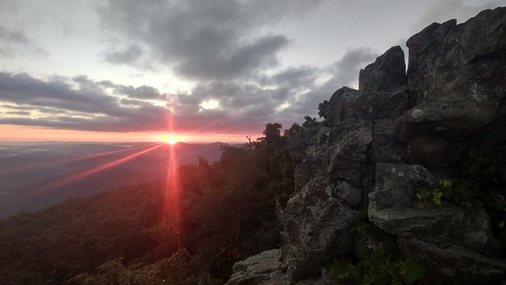
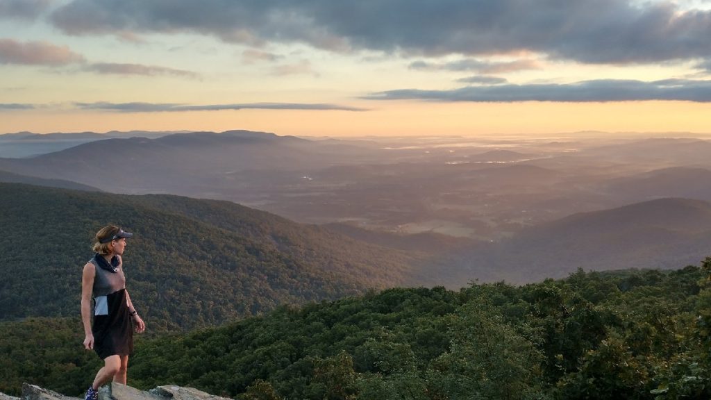
My extra miles into the night before paid off. The location set me up for a side trip to Humpback Rocks to watch the sunrise. I stepped up to the rocks just as the first red flash was appearing on the horizon. I couldn’t have timed it better had I been planning it. Funny thing was, we had all planned it the day before, only to be foiled by the fog. This sunrise was the best since my 2nd day on the AT, with sunrise over Katahdin. Patches of fog in the valley and fluffy clouds gave this one that extra effect. I took heaps of pictures.
This half-mile RT side trip ate up some time but was well worth it. Trouble was, the trail had returned to its “strenuous” status and the miles were slow going. I’d only done 8 miles by 10 am. My goal was to make it to the road to Lexington by noon the next day to meet up with a CDT friend. I still had a long ways to go and a whole lot of elevation gain. I stopped again at a road crossing to enjoy a trail magic tote full of seltzer and beer. Then again at another road crossing near Reid’s gap to eat an early lunch, filter water and drink one of the seltzers I’d stashed in my pack. I needed to rehydrate, as I’d woken with a really bad migraine. I was starting to get worried, as I was down to my last couple of migraine pills. I needed to figure out where to send some more very soon.
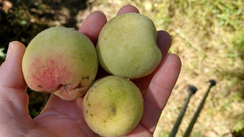
I met a flip-flopping lady named Colleen enjoying the view at the gap. We sat at the picnic table and shared stories. She had a very unique perspective on life that I appreciated. We’d both lost loved ones recently (hers to COVID) and I couldn’t help but shed a few tears talking about the experience. It’s intriguing to meet complete strangers and so quickly find a connection with them…the trail does this. Feeling the pressure of the miles ahead, I bid adieu and a “hope we meet again.” As a final word, she told me about a peach tree to look for just down trail. These were a welcomed treat.
Colleen had just returned from spending the night at a popular stop, the Devil’s Backbone brewery and eatery. This was where all the SOBOs just behind me were heading for the night. There’s free camping and showers for hikers at the place, but as it was 7 miles down the road, the logistics seemed complicated. I camped behind several pubs in New Zealand that were right on the route, so I wasn’t in desperate need to repeat the experience. Plus, the last thing I needed was to drink a lot of beer with a limited supply of migraine medication. Alcohol is a sure bet for triggering my migraines. Oh and also, I needed to get to RT 60 by the next day. Lot’s of excuses to give it a pass.
I shortly came to a junction where I could take a blue-blazed alternate, the Mau-Har Trail, cutting off 4 miles of official trail and a lot of climbing. Given my tail-dragging pace and need to make miles, which route do you think I took? Other trails like the CDT and TA offered a lot of “choose your own adventure” style hiking, which I came to appreciate. This freedom in style has stuck with me, giving me no pause in being a “non-purist” when it comes to following white blazes. I just enjoy walking, so I took the blue blaze. It was a nice route along a series of waterfalls and swimming holes that I thoroughly enjoyed. Plus, it sounded like I didn’t miss much by not going over the Three Ridges portion of the trail. There wasn’t much for views and I’d already had some of the best for sunrise.
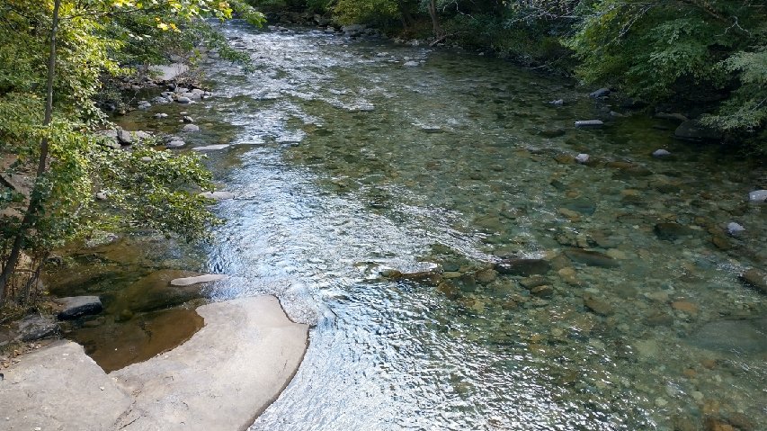
Instead, I saved my energy for a behemoth climb up The Priest. This was the first mountain officially over 4000′ since New Hampshire (Vermont if you count the side trail up to Killington, which I’ve done twice now). The AT starts nearly at the bottom around 1000′, gaining 3000′ in 4 miles. Ugh. To get ready for this, I took a lovely dip in the beautiful Tye River, with water as clear as I’ve seen in NZ. There was a huge, smooth rock perfect for crawling on top to let the water run off. Like an iguana sunning on the rocks, I enjoyed another seltzer and rested before an afternoon of laborious climbing. I had enjoyed some really premium breaks this day. Two flip-floppers passed on the bridge while I relaxed, Old Army and Infomercial. I caught up to them again later.
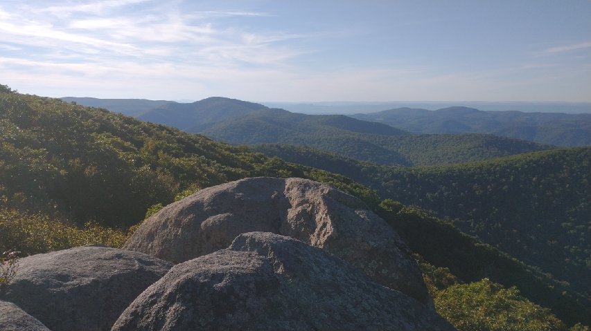
The climb wasn’t as bad as it could be. There were lots of switchbacks at least. I put on a good podcast and just chugged away. Unlike the big mountains up north, the summit was mostly covered in trees, with only a small rock outcrop with views to the west. The better attraction was the shelter, where it’s tradition for thru-hikers to confess their sins to the log book. The sins are of a thru-hiking nature, such as not digging a cat hole deep enough and stealing toilet paper from hostels. The comments are hilarious to read. I had a pretty extensive laundry list to add, given my ample time on trail. Forgive me Father, For I have sinned. A whole lot.
I still wanted to make miles, so I cooked dinner at the shelter and collected only enough water to get me through for the night…less than 2 liters. I would have had to hike 21 miles the next day had I stayed at the shelter. I whittled this down to 16.6 and ended up at a gorgeous grassy site near the top of a mountain, albeit in the dark once again. I wished I’d had more time to enjoy the site in the daylight but blame it on my premium stops…and 2 mph pace much of the day. As it was, I still had time to foam roll and stretch. My right shin was pretty sore this day, so I needed some body maintenance time. There’s never enough time in the day for everything, though. Namely sleep.
