See here for my gear list.
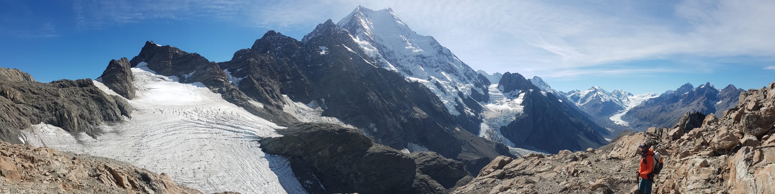
The Hayduke Route was the mother-of-all hikes in terms of planning and resources. I’d actually been planning it since 2020, but it was a no-go that year, for obvious reasons (COVID). Then for one reason or another, I put it off for another 2 seasons. This was a good thing, because it gave me time to sharpen my desert route-finding and survival skills. During my CDT, AZT, GET, and MRT hikes, I covered vast expanses of Arizona and New Mexico. Though I had yet to take one step in Utah, I finally felt ready for this hike
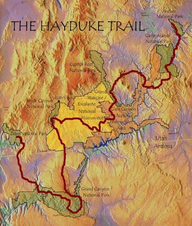
So what is the Hayduke Route? The name “Hayduke” pays homage to the main character in The Monkey Wrench Gang by Edward Abbey, a fictional story that takes place in this region. Similar to the GET and MRT, which were put together by Trail/Water Whisperer Brett Tucker, the Hayduke Route is a compilation of a few existing trails, dirt roads, and mostly cross-country travel in canyons, pioneered in the late-1990’s by Joe Mitchell and Mike Coronella. They spent hundreds of days exploring the Colorado Plateau and then wrote a guide book about it. The route basically aims to connect 6 National Parks in Southern Utah and Northern Arizona: Arches, Canyonlands, Capitol Reef, Bryce Canyon, Grand Canyon and Zion National Parks, as well as Grand Staircase-Escalante National Monument, Glen Canyon National Recreation Area, numerous National Forests, BLM Districts, Primitive and Wilderness Areas.
Since its original conception and the resulting guide book, others have developed many alternates, taking advantage of other scenic canyons, short-cuts, and access to the few and far between ‘towns’ along the way. There is no one direction or straight-line that this route follows. The general theme is to navigate carefully up one canyon, cross some long-forsaken remote plateau, then clamber down another canyon until…one finds water, a cache, a town, a road, or some other measurable reward and/or marker of progress. For my purposes, it made sense to follow the standard guide book direction from the NE terminus near Moab to the SW terminus in Zion National Park.
The Hayduke is certainly one of those ‘whatever you want to make of it’ type ‘trails’. The hardest part in planning was collecting and organizing the information from so many different sources. I had the guide book (which I’ll admit, I never really read), maps from several sources such as Andrew Skurka, tons of credible and not-so-certain GPX files, and various blogs. A lot of information was pretty dated, especially the guide book and Skurka’s bundle & water report. I gleaned insight on more current conditions from the Hayduke FB page and my PCT friend Plant’s 2021 blog. Other useful blogs were from: Carrot Quinn and Drop-N-Roll 2017, Wired 2015, and of course, Buck30 2013. Everyone hiked different variations of the main route, so I really had to pick through the information carefully to understand all the options. By far the most helpful resource was Jamal Green’s excellent site Across Utah! He offers a ton of great alternate route details, plus pictures and videos. I spent many months going through all this info, reaching overload as it was almost too overwhelming. I had to start planning for other ‘easier’ hikes for later in the year, just to take a break.
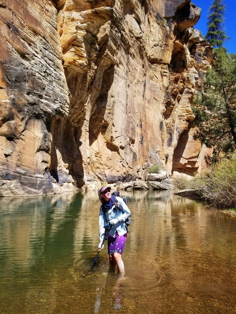
The lion’s share of mapping work was done using CalTopo. While on-trail, I used a feature-rich mapping app called Locus, as I did on the MRT and GET. These were my practice hikes in using this technology, so I felt pretty confident in my navigation abilities. Much more problematic was the weather and potential problems from flooding. The southwest had a bumper year of precipitation over the winter of 2023. On the one hand, this helped to alleviate a 10 to 20 year drought in the area, assuring some better water sources. On the other hand, so much rain and snow led to some troublesome barriers.
In April, rangers in Grand Canyon Nation Park reported significant flooding and water damage to the North Kaibab Trail, which was central to the Hayduke’s route through the Grand Canyon. My GCNP permit request had been submitted way back in December2022, well before the snow began collecting. With record snowfall on the North Rim (10 feet or more!) and the North Kaibab closure, the planned route in the park was out of the question. Questions remained about Bryce and Zion as well. Luckily, I only bothered with advanced permits for GCNP and Canyonlands. I also had to forget about summiting the highpoint of the route, 11,527′ Mt Ellen. Lower-elevation routes around the Henrys were better options.
Fortunately, I did plan to start later than most have historically set out on this thru-hike. My target date of April 1st could have been a fool’s errand but the consensus from many blogs was that early to mid-March was a tad bit early for the conditions. I wished I could have pushed my start date back 2 more weeks, but I had permits and travel reservations to contend with.
I had many reservations about this hike…falling off canyon cliffs, drowning in river crossings, sinking into quicksand, freezing to death…but so too did I have similar existential concerns about the PNT, and it turned out to be one of my best hikes.
There’s lots more to mention about my travel logistics, caches, and other plans, which will be explained in following blog posts.