August 27th, 2019
Warden Gulch stream mm 1746 to North Fork Swan River mm 1768
Distance in miles: 22
0610-1740
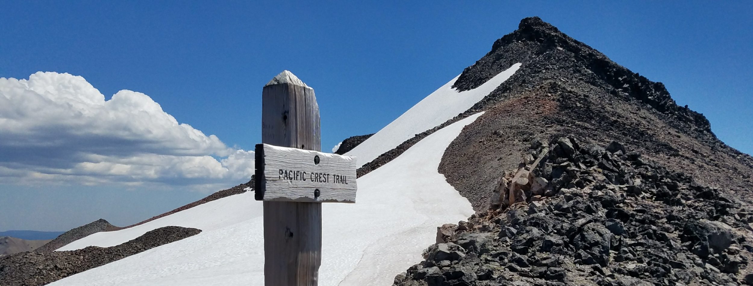
I stood at the intersection of the Colorado Trail and CDT at Georgia Pass 2 years ago, wondering what it would be like to hike the CDT. The pass was the highest point we had yet seen on the CT and still, the CDT route continued to go up even higher. How intimidating it seemed to hike the divide, so high and exposed on the ridges and peaks for miles. At the time, I was terrified of the routine afternoon thunderstorms.
Over the past week, I finally saw what was behind the curtain and it’s been more incredible than I could have even imagined. Besides some wind, we have also had near-perfect weather, making this stretch possible. But it’s been oh so hard. In the past 4 days, including this one, I’ve done nearly 30,000 feet of elevation gain. That’s like climbing Everest from sea level.
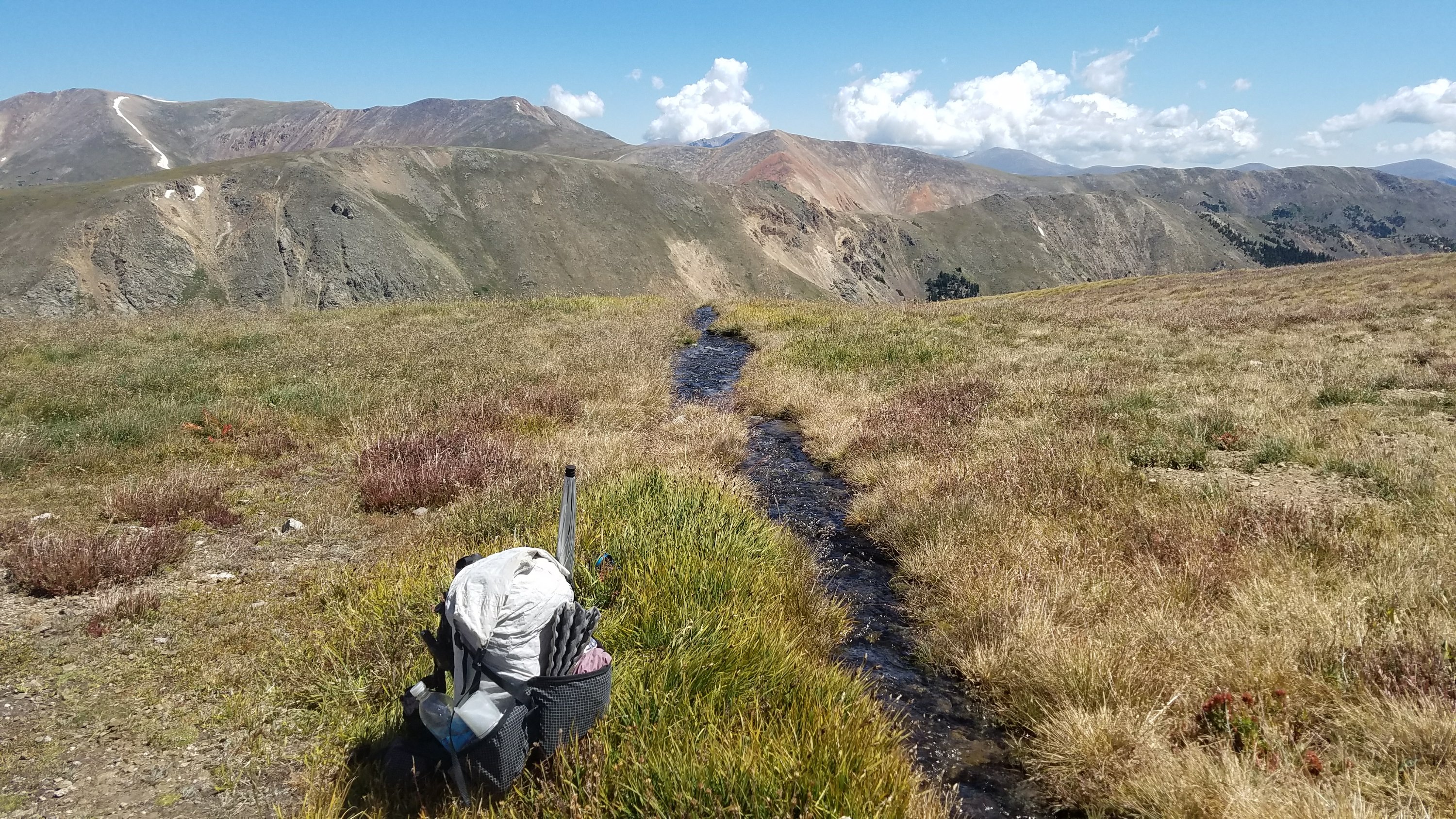
We start the day by climbing back up to the divide from our perfect campsite. The jeep road peters out at a basin and we’re left wondering where to go. The notes indicate that there’s no trail and we are to scramble up the steep side of a hill behind an old mine. The route on the app indicates that we go up a gap in the rocks in the middle of the basin but there’s a cornice blocking the route.
We find a few switchbacks leading up to another mine and then we just have pick our way up the slope. Where there’s vegetation, it’s easy. But then we come to a slip that’s all loose gravel and hard packed sand. I try my best to kick steps and even sit down on my butt so that I have 5 points of contact with a surface that would just as well see me slide back down 30 feet. I’m pretty scared, not feeling as though I would die but definitely get injured if I start sliding.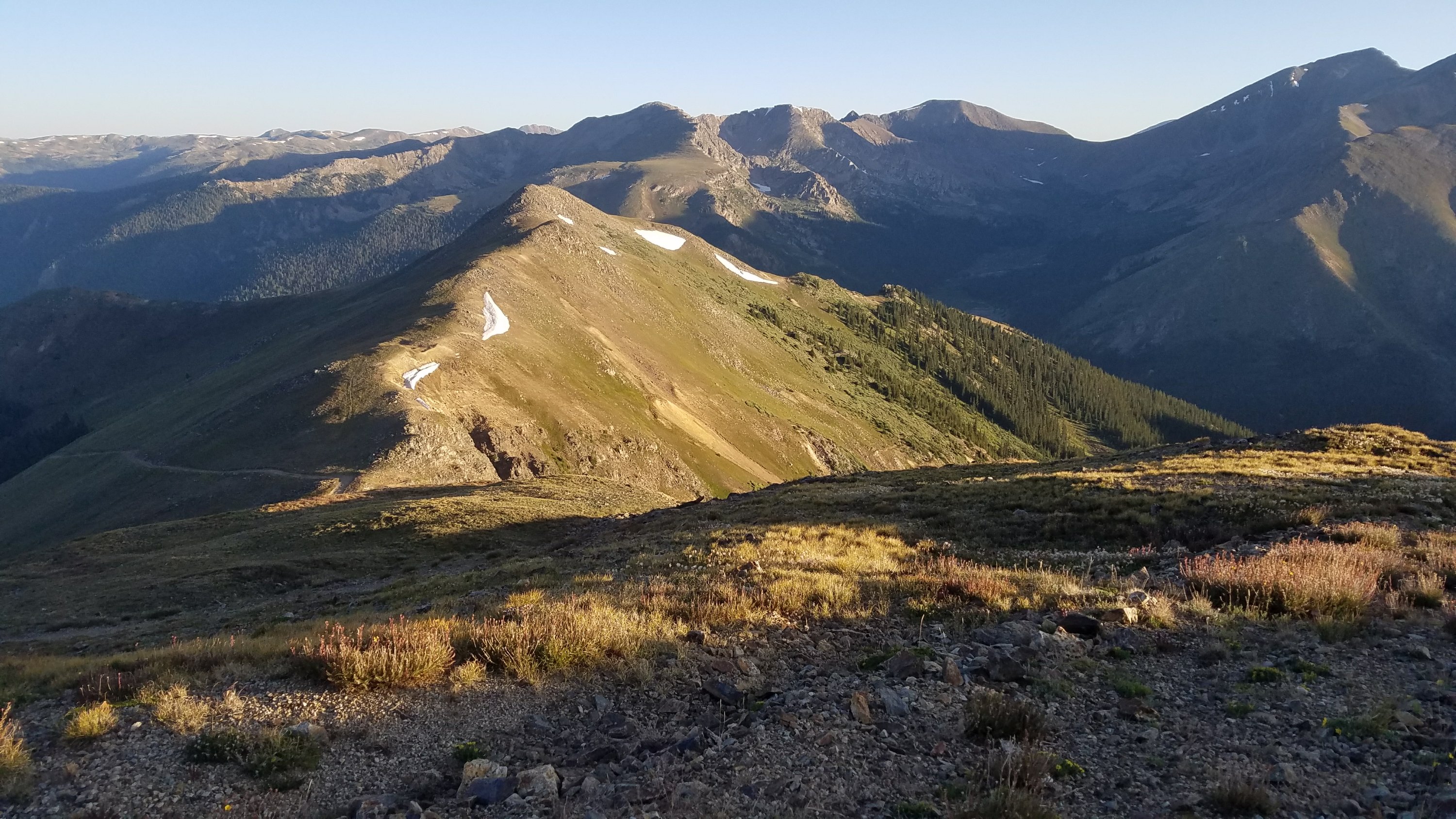 I make it past the tricky spot and up to the ridge. I’m relieved but also angry that the “trail” goes through such a dangerous route. There’s a perfectly good road leading up from the valley on the other side of Morgan Peak, which we join. Notes indicate that the road is an alternate. Rather than a dangerous rock scramble out of a basin, no trail whatsoever, why wouldn’t the CDT utilize this road?
I expect nothing less from the CDT by now and just shrug it off as par for the course. Perhaps when someone does get injured, there will be a re-route or an actual trail with switchbacks. In the meantime, users beware and accept your own risks, I guess.
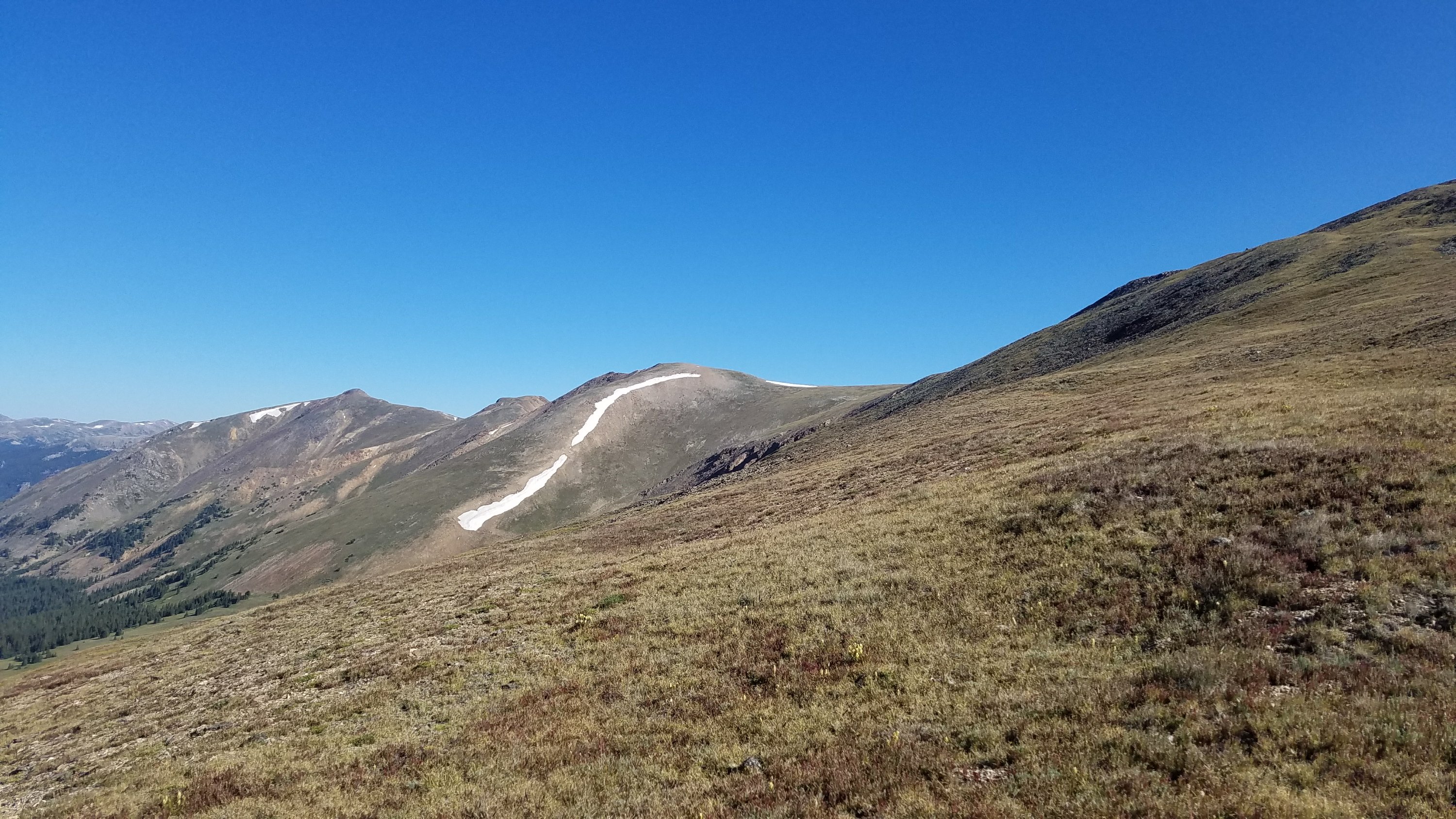
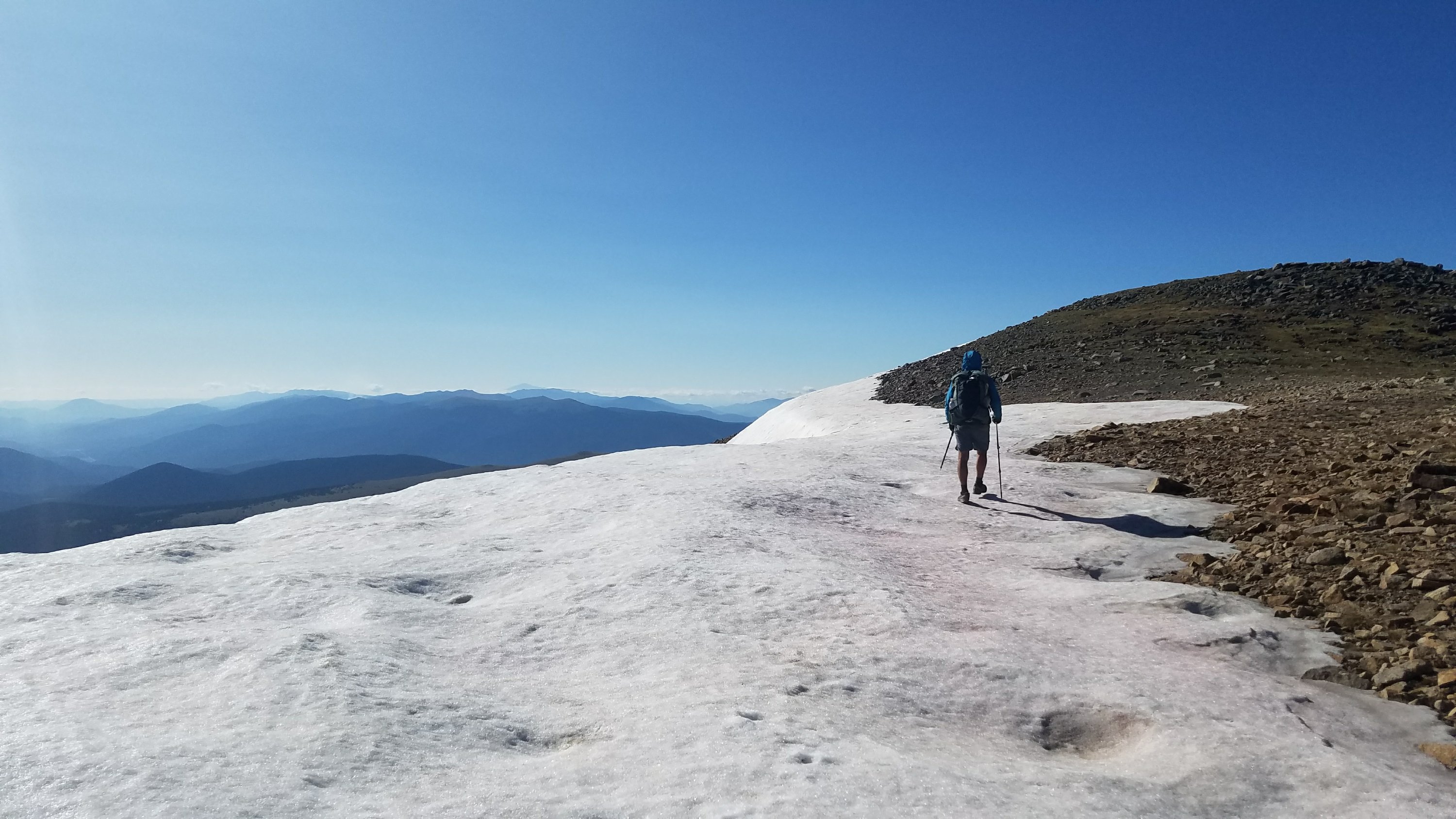
We quickly forget our initial struggles, mesmerized by the views at the top of the divide. For most of the remainder of the day, we walk directly on the divide, going up and over every peak that stands in our way. There are too many to even count but a few 13ers like Geneva Peak stand out. We do another rock scramble of about 800′ in elevation gain to get to the top of it, but at least there are cairns and a faint trail between the boulders. Relentless notices all the rocks that are ready to tumble down on our heads but I just don’t think about it.
There’s not one cloud in the sky all day and the wind is relatively light. I try to identify all the mountain ranges that I can see in the distance. Yesterday I could see all the way back to Lost Ranger Peak, NE of Steamboat. I could also see some of the Collegiate Peaks and possibly some of the Sangre de Cristos. So essentially the views stretch from the most southern to northern ranges…almost from Wyoming to New Mexico.
Today we have a better view of the southern mountains, including Mt. Massive and Elbert, the two highest peaks in the state. I can also make out my hometown range, the Wet mountains…which look minuscule from up high on the divide. Pikes Peak stands alone and prominently, as always.
Walking the CDT has been the best lesson in Colorado Geography…I feel like I finally really know my homestate, seeing it all from up high. This stretch has been unbelievably hard but also the most mind-blowing. It’s the toughest and most rewarding hiking I’ve ever done. I also feel like we’ve been granted a perfect weather window for safe passage, something that rarely happens. All day I’m at peace in the meadows and on top the peaks, like I could stay up here forever. Previous forays into the high alpine usually end in me rushing to get lower once the afternoon thunderclouds begin.
We have lunch just down from a saddle, where there is a little stream running off a snow field. This is the only water we have seen up here all day but is just perfect. I lay down in the grass and relax. I don’t care about anything in this moment. I don’t care that we have only done about 10 miles, I don’t care that I have no dinner or breakfast left, I don’t care that I’m 12,000 feet up in the air. It sounds cliche but this moment is my vision of heaven.
Presently a noise brings me back to reality. A C-130 flies directly overhead, close enough that I imagine I can see the pilot’s face. It’s followed by a second just a little farther away. Well, that was unexpected. We continue on, rounding out a few more peaks. There are some that the route traverses but we go over the tops anyways, just out of habit.
I’ve had a bit of a breakthrough today. We’d planned on coming into town on this, the 5th day, but took a short day previously and don’t feel like pushing the miles. We will have to make camp with little food left but I’m so glad we turned this into a strictly hiking day and not a town day. I end up feeling rushed on town days, not enjoying the trail, only wanting to get done. Today I can take my time, being present in the moment. I’m beginning to appreciate Freebird’s philosophy of having no schedule, agenda, or worries. I’m so happy up here, walking casually in wonder.
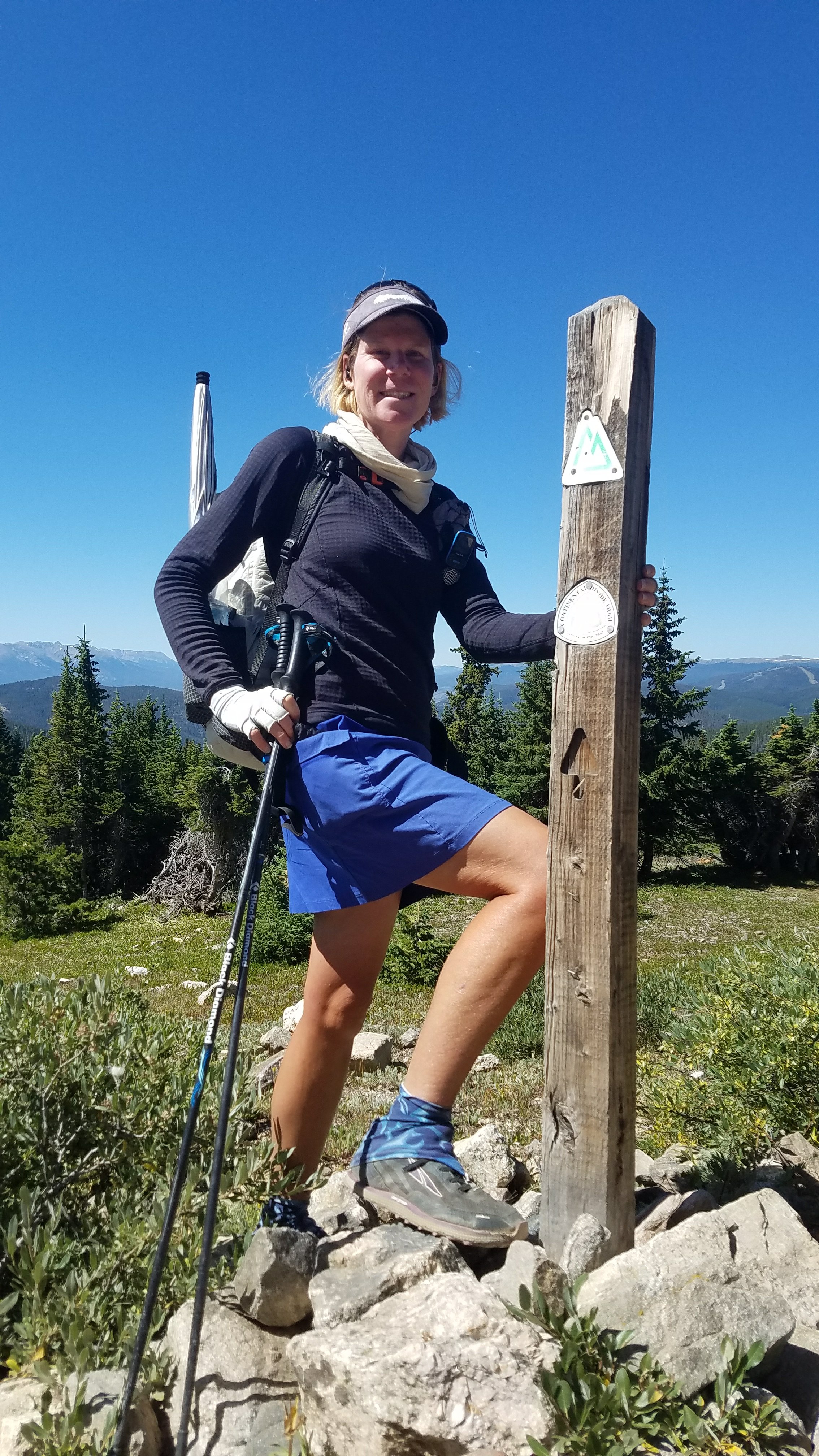
In the late afternoon, we reach the junction with the Colorado Trail. I’ve been looking forward to this moment for a long time. It’s like a reward for surviving the thousands of miles on the CDT. I know what the next 300 miles are like because I’ve already walked them. There’s smooth, well-maintained trail ahead. Sign posts at every junction, deadfall cut away, bridges over nearly every creek. The towns will be frequent. We are finally on easy street.
This is an emotional moment for me, looking back at all I have accomplished since I last stood here. So many miles, so many memories, then adding in this most phenomenal day. Tears flow, it’s so much.
We fly down the trail from the pass, letting our feet float over the nice tread. We start to pass other hikers. There will be many now that we are on the CT and I hope that a few of them might have some spare food. I stop to talk to one guy and he does indeed have a spare dinner, which he kindly offers me. I’ll be fine now, with more than enough to make it to town.
We make camp early at a spot where I camped before on the CT. For the second night in a row, we have a fire. Breckenridge is a short walk away in the morning and I couldn’t have asked for a better ending to this incredible segment. What a day…one of the best.