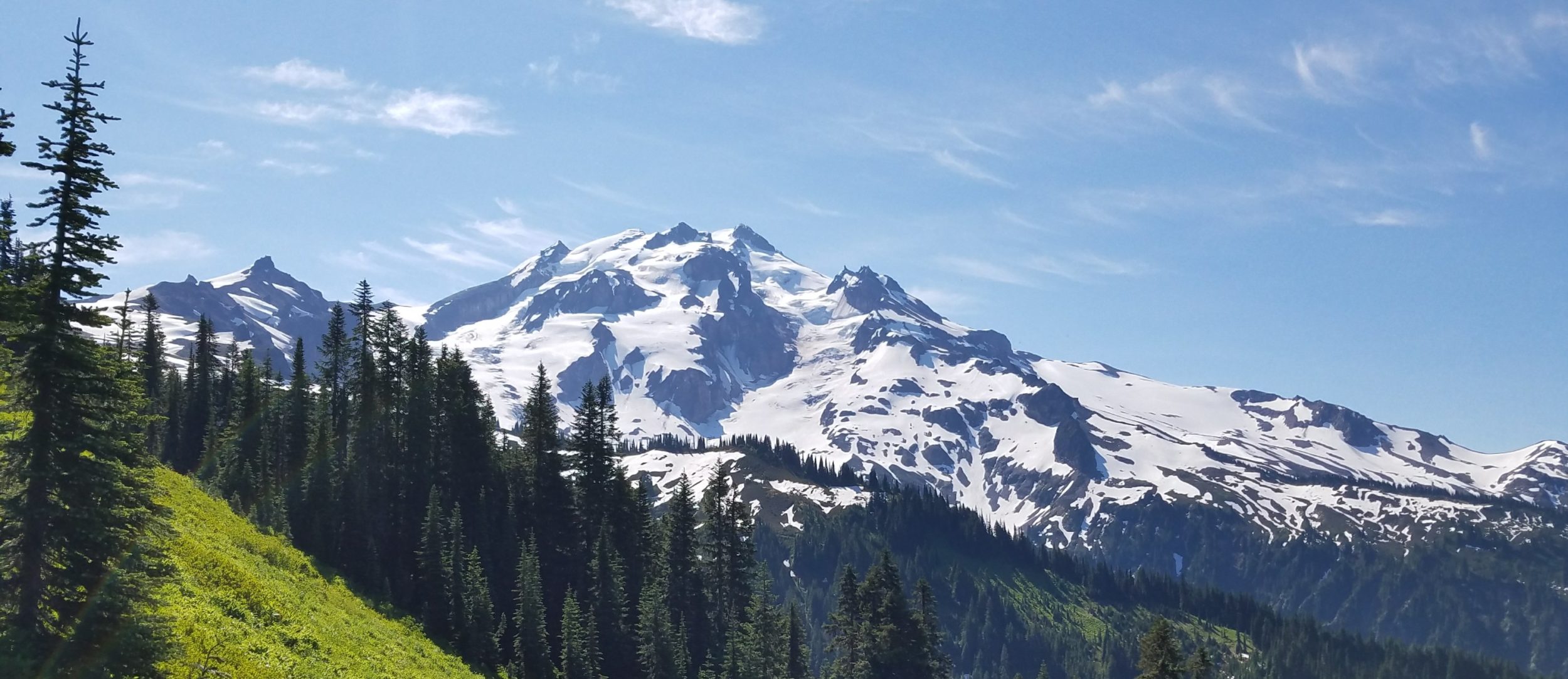
WRHR NOBO Day 1, Saturday, Aug 10th, 2024, Big Sandy trailhead to Big Sandy Lake west end, 5 miles, Elevation 9700′. I felt a bit defeated after our first attempt at the High Route, but better about our chances on our second go-around. Approaching the the route from the south allowed for more bailout points at the beginning. At first we were just going to do the Cirque of Towers circuit, but then we decided to try for the rest, wx forecast be damned. We brought about 6 days of food and hoped for the best. The biggest challenge was getting to the Big Sandy trailhead, which was almost a 2 hour drive one way. Incredibly, a Florida friend saw that I was in Pinedale via a social media post and nominated his dad to drive us the next day. Paul met us around noon and entertained us with stories about living in Pinedale for the long drive. I also learned that he and his wife spend the winters in Naples and are very into kayaking, so I looked forward to seeing Paul again. Thanks so much Paul…you did us such a huge favor!
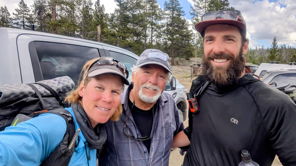
Almost immediately after getting to the trailhead, the sky darkened and we heard rumbling. It started hailing, so we hid under some trees for about 20 minutes. Then the sky relented and we began our adventure. This was just the way it was going to be for the rest of the trip. At least out timing this day was pretty perfect, since it didn’t storm again the rest of the day. We found a lovely campsite near Big Sandy lake, complete with a bear box nearby. We ate dinner by the lake and went to bed early.
WRHR NOBO Day 2, Sunday, Aug 11th. Big Sandy lake, over the Cirque of Towers and Texas Pass to Pyramid Lake. 16 miles. Elevation 10,600′. The wx was great all day and the Cirque of Towers area were quite amazing, as always. For many, this is the pinnacle of their visit to the Winds, but I could tell it was just the beginning of our adventure. During lunch at east end of Lonesome lake, we watched climbers going up Pinhora peak, which was entertaining. Texas pass served as a nice warm-up to the many harder ones we’d encounter on the High Route. We both found it quite easy, practically flying down the north side. We hiked to Pyramid lake in the afternoon to stage for Raid pass the next morning. We found protection from the persistent wind in some trees and boulders.


WRHR NOBO Day 3, Monday, Aug 12th. Pyramid Lake to Middle Fork Lake, 17 miles. Elevation 10300′. We woke to on-and-off drizzle, but it didn’t stop us from continuing over Raid pass. The clouds didn’t seem to hold any lightning, at least. I’d read comments about the pass being difficult and tedious but the first 3 miles were not too bad, just mostly broken tundra. The last half mile involved a lot of boulder hopping, but thankfully the rain had stopped and the rocks were mostly dry. The rain began again on the other side of the pass, so we opted to take an easier/lower route to Lower Bonneville lake, then Sunrise lake to Rainbow lake. There was sometimes a faint trail, but we also had fun making our own way through the trees. At Rainbow lake, we took another faint trail to connect to Middle Fork Lake, back onto the High Route.
Since we missed one of the passes around Pronghorn Peak, which was described as really scenic, we decided to make camp in the trees at the southern end of Middle Fork lake and hike south, back up to the pass. It was only 1 pm when we set-up, which felt like quite a treat. The weather had improved and we weren’t in much of a rush. I’m so glad we circled back, plus it was nice not having to carry a full pack. Lake Donna and Pronghorn peak were incredible, as was Middle Fork Lake with the Dragon Head standing watch over the valley. We only saw a handful of people all day. One guy was just finishing a cold swim, buck naked. I can’t fault him for enjoying himself to the fullest, but as much as I love taking swims, it was far too cold for me this day. We ate dinner early and it started raining with bit of lightning at 6 pm, so it was good we ended early.
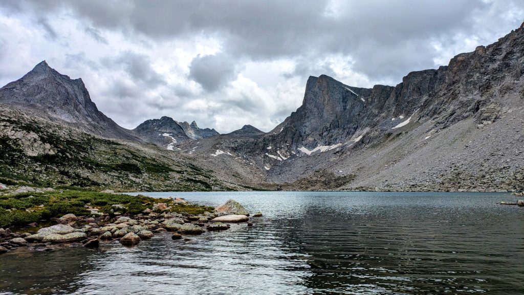
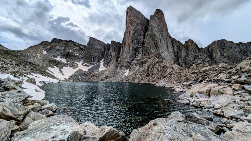
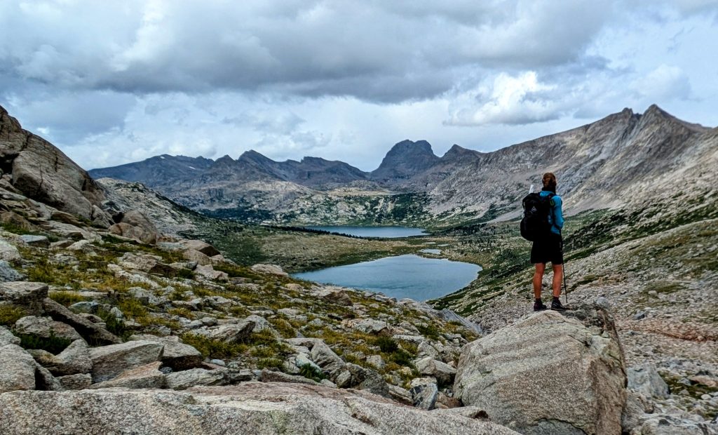

WRHR NOBO Day 4, Tuesday, Aug 13th. Middle Fork Lake to Europe Canyon, 12 miles, elevation 10,600′. The next morning, on a whim, we climbed Kagevah Peak, 12,156′. (It’s the mountain I’m looking towards while standing on top the boulder, above). It was a very easy climb from the north side, but had incredibly rugged faces on all other fronts. We had amazing views of the Winds, since we were standing about exactly in the middle of the range. The weather was also perfect. This was our one and only peak-bagging success during the trip, and we certainly made the most of it.


Finally we continued north along the route, meeting 2 guys that were southbound. One described the bad fall he’d taken on the Knife Point Glacier, a few days earlier. He’d slid about 50 feet, scraped the hell out of his legs, and lost his trekking pole. He said it took him over an hour to make it back up to his buddy, all while thinking he might slide again. Hearing his story made us further resolved to skip the glacier.
We descended into Europe Canyon and made an early camp in the trees, under the threat of more thunderstorms. By 4 pm, it was raining and hailing. It rained for hours that night and I woke up to a lot of condensation and a 32 degree reading on my thermometer. I’d been using my 30 degree Katabatic Palisade quilt all summer, so this really challenged my ability to stay warm through the night. But I managed. My Zpacks Plex Solo tent also kept me dry, for which I was very grateful. Despite the conditions, we got really lucky with our timing…it’s all about early starts and short days in the Winds.
WRHR NOBO Day 5, Wednesday, Aug 14th. Europe Canyon to Camp Lake, 13 miles. Elevation 10,200′. We got an early start, passing fields of frost before doing some scrambling along Long lake. We passed Glacier Lake, a spot we’d considered for camping the day before but given the wx, it didn’t sound very inviting. The area was pretty exposed, basically a huge willow and tundra meadow for miles through the valley. As such, our feet got pretty wet. I did find some decent camping spots in trees just south of Hay pass. I was always taking note of such things, given that protected sites were hard to come by on this High Route.
We hiked over Hay pass and down to the Golden Lakes for a lunch break. The day started perfectly clear in the early morning, but it was already starting to rain and storm by 11 am. We debated whether to stop short or continue 4 more miles over a pass to make it to Camp Lake. The Alpine Lakes section was coming up the next day, and I wanted to be as close to the start of it as possible, so we kept going. On the way, we met 3 more southbound hikers who were lamenting how bad the wx had been the last 3 days. They said it had stormed nearly the whole time, which was far worse than we’d had it. As a result, they’d taken much longer than anticipated and were going to have to bail after Hay Pass. We felt lucky, but also a bit of trepidation as we entered the hardest part. Maybe the weather was just always a bit worse in this northerly section. This day certainly seemed to be proving that theory.
We were just started up next pass when it began hailing. Strider saw a bolt of lightning hit the pass just ahead of us, which sent him flying in the other direction for some trees. I found a cave under a large boulder and hunkered down for 20 minutes. The worst of the thunderstorm seemed to pass, so I decided to go for it, setting out while it was still lightly raining. The pass was extremely cold and windy, but at least the rain let up. I passed a tent at Upper Camp Lakes that was being thrashed about like it was in a wind tunnel. It seemed like the absolute worst place to put a tent and I felt sorry for whoever might be in it. The thought made me shudder. Then I came to a snow field that I had to cross, with a slide-out into another lake. The thought of taking an unwilling dunk also made me shudder.
I hurried on, scared I was going to get caught by another thunderstorm. The wind had picked up even more and the sky was getting very dark again. The rain started just as I made it down to some trees near the south end of Camp Lake. I took cover, breathing a big sigh of relief. It felt like a High Route right-of-passage to battle over a pass in a storm, but luckily it wasn’t that bad. Then just as quickly as all the weather came in this day, the wind just wiped it away. I looked up to see the color of the sky had changed from a dark gray to a dark blue. At first I thought the storm was getting even worse but no, the color was actually suddenly clear skies. I’ve actually never seen a transition like that in all my time in the mountains. The Winds certainly whip up some crazy weather!
It was still so incredibly cold and windy, though. I found a pretty-well protected campsite at the north end of the lake and hunkered down for another cold night. I felt bad about having separated from my hiking buddy, but luckily he read the clear skies correctly and also made it over the pass later in the day. He found me in the trees and set-up nearby. Thus we were both perfectly poised for an early start on the last and hardest part of the WRHR…the Alpine Lakes section.
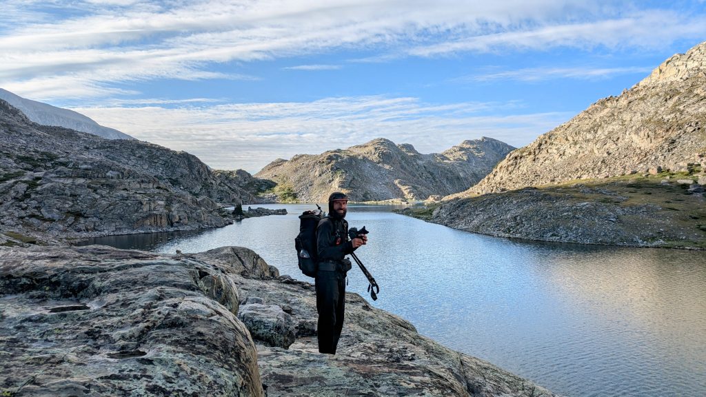
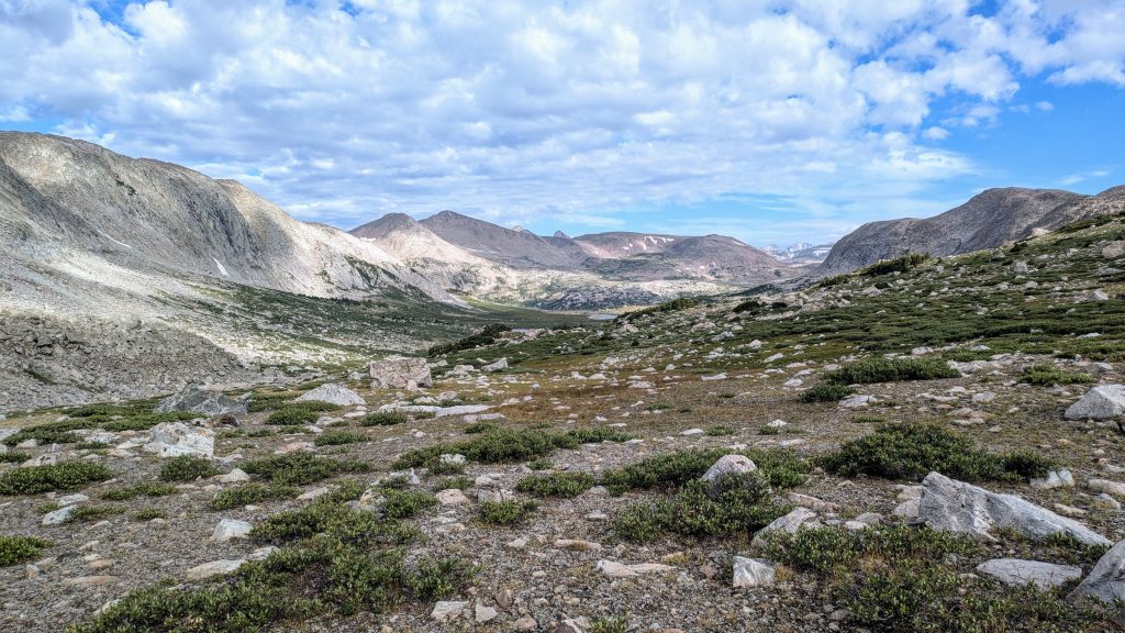
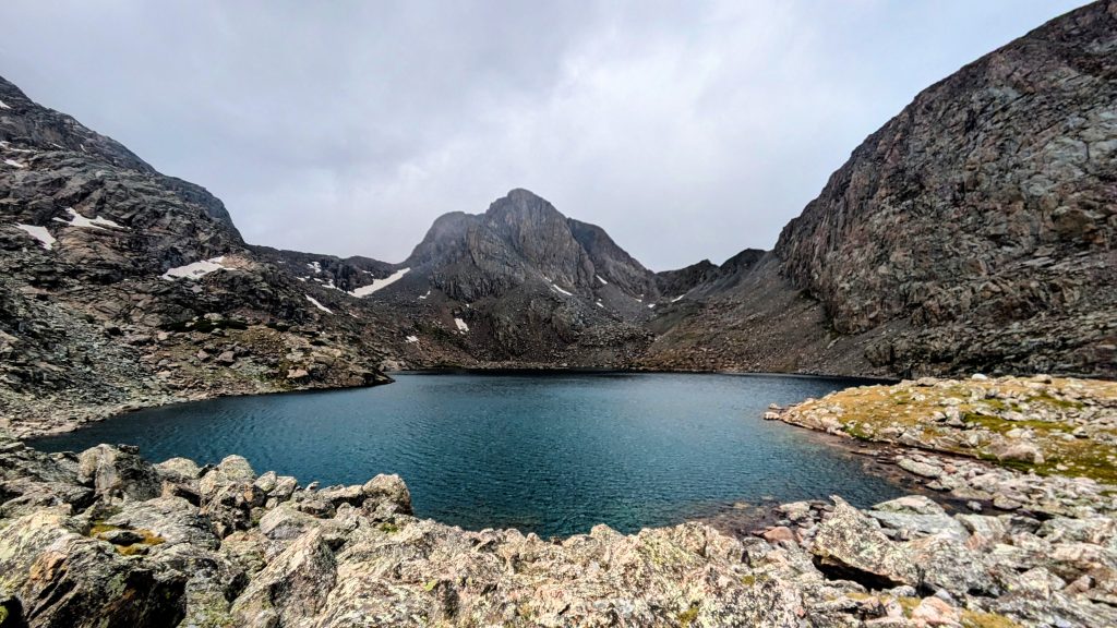
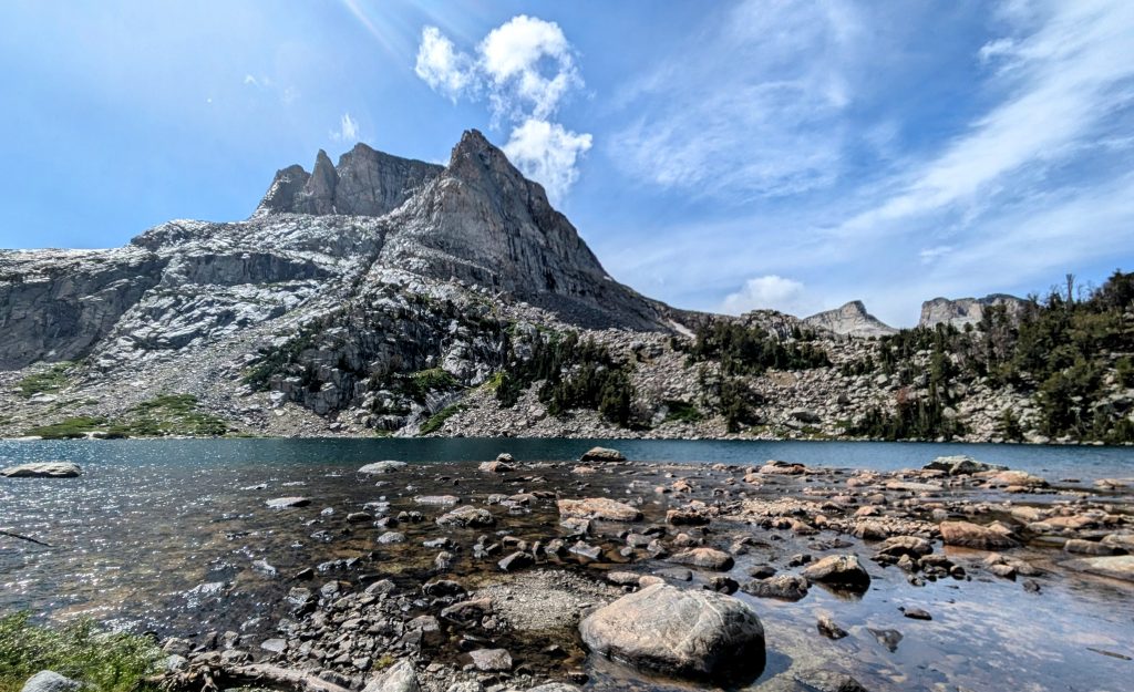
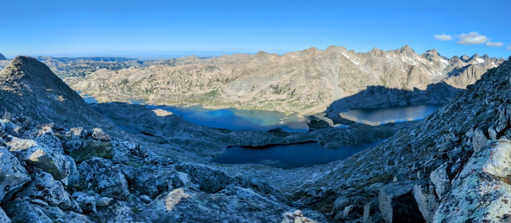
WRHR NOBO Day 6, Thursday, Aug 15th. Camp Lake to Indian Basin. 12 miles. The wind died overnight and it was actually pretty warm in the morning. We got an early start at 6 am, since we knew it was going to be slow going all day. The Alpine Lakes are said to be the crux of the route. It’s about 8.5 miles of boulder hopping and scrambling to get from Camp lake past the 3 Alpine Lakes and up to Alpine Pass. Then it’s another few miles of glacier traversing and\or moraine travel, followed by a steep climb to Indian Pass, where a formed trail finally appears again. There were at least some cairns marking the route here and there, but that was about it.
It definitely was a rugged and tough day, but the wx was brilliant, our packs light, and our lungs and legs strong after several weeks at altitude. I’d like to think we crushed it, but the day wasn’t without a few mishaps. We nailed the route, finding good easy lines through the cliff bands along the lakes. But at the end of the 3rd lake, I stepped on that one giant boulder out of a 1000 that tipped me off like a dump truck. Fortunately I fell into the hole landing on my pack, only gouging my pinky finger.
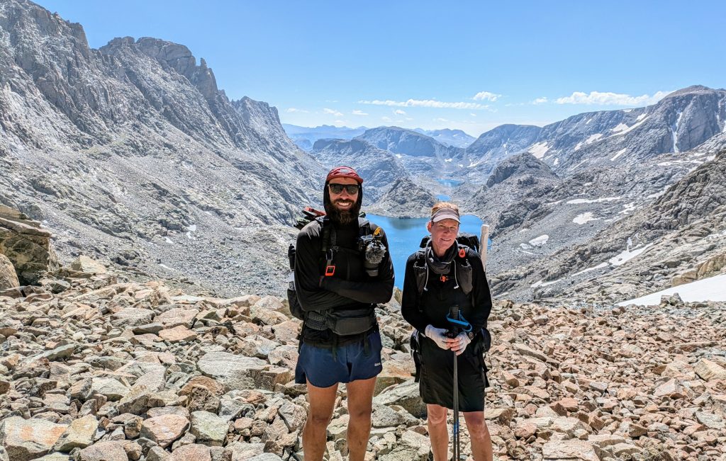
Going up the first pass was very easy, the best and most stable rock all day. We met 3 guys at the top, 2 of which said the glacier was terrifying. After so many stories of close-calls and falls, we opted to skirt it. This meant that we needed to go all the way down the valley, traverse the very tedious and unsettled moraine area, then climb more then 1k’ back up to Indian pass. Traversing the glacier definitely would have saved us a lot of elevation loss/gain, but who’s to say it would have been faster. The guy we met who had slid and then spent an hour recovering certainly didn’t save any time.
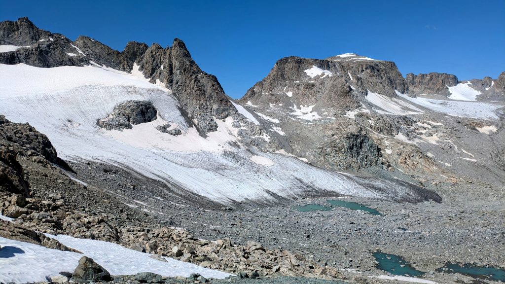
Our route did suck, but at least we had the fitness to just knock it out. Even still, at the very end, I suffered an injury. The High Route just couldn’t let me escape without a reminder of how treacherous it can be. I simply stepped on a rock that rolled, stuck out my trekking pole to catch myself, and dislocated my shoulder once again. It was the 3rd instance this year. It popped back into place right away, but it made me so frustrated. My shin was also gouged and bleeding…all within 0.2 miles of the pass and trail!
Indian pass was where we turned around the week before, so this was our finish line. We hiked another few miles and camped in Indian Basin for the second time, staged for an attempt to climb Fremont Peak the next morning. We set up our tents in the exposed tundra just before several thunderstorms rolled through at 5 pm. They continued all night, one with significant hail and another at 3 am that knocked my tent pole down (luckily it’s easy to just put back up). Thank goodness we got the Alpine Lakes section done when we did!
WRHR NOBO Day 7. Friday, Aug 16th. Indian Basin to Elkhart Park Trailhead. 15 miles. Total miles for this section: 90. Peak bagging was not to be. We climbed to a saddle with great views of Titcomb basin, looking almost all the way back up to Knapsack Coll. But the final 1400′ scramble in 0.5 miles to the top of Fremont Peak looked way too daunting, especially with my shoulder being sore from the dislocation the day before. We wisely turned around and walked out to the Elkhart trailhead. We easily got a ride into Pinedale from a lovely couple from North Carolina, Joanna and Tom.
We later ran into them at the free Friday night concert in the park, where we also reunited with Tigger, our hiking buddy and trail angel from Jackson Hole, and Paul, who gave us a ride to Big Sandy trailhead. We spent about 4 days in Pinedale altogether and I grew to just love this small trail town. It was full of hikers, bikers, and friendly locals. The town does a lot to support us rift raft…free support from the visitor center and camping in the park…which we did for 2 of the nights. There are many great coffee shops, restaurants, and an awesome outdoor retailer. Three cheers Pinedale!
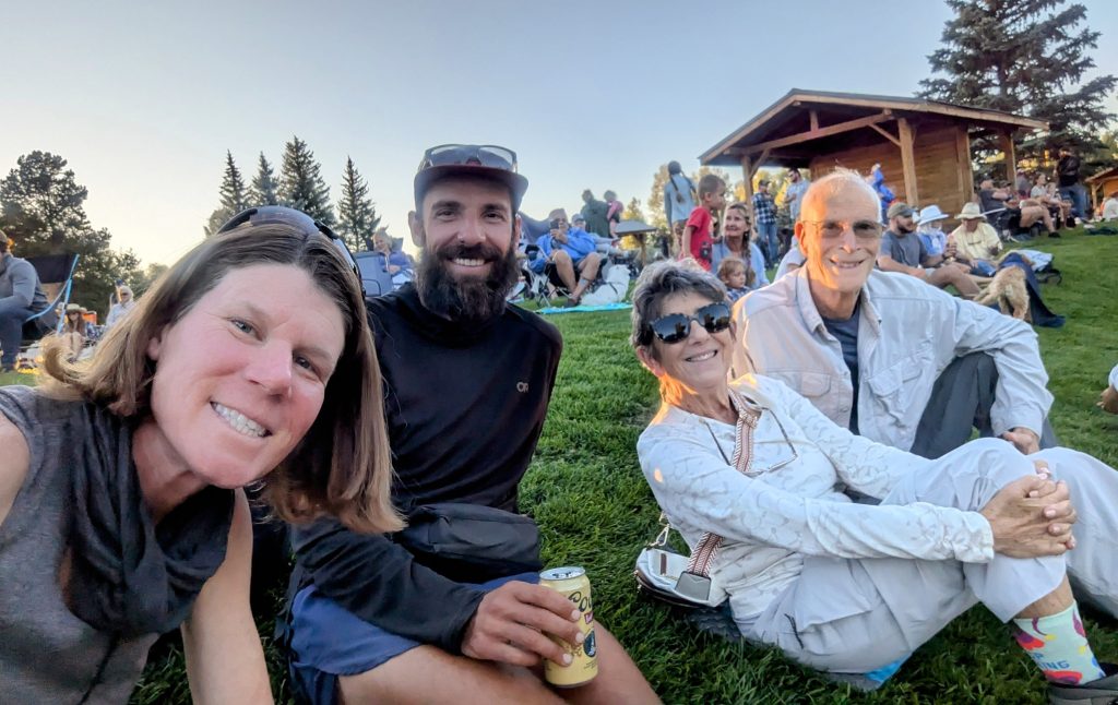
And thank you to Paul W., Chris from Colorado, and Tom and Joanna and the many other names I didn’t get that hooked us up with all the rides to and from. And thanks to my hiking buddies Strider and Alan. This route was definitely best done as a shared experience!
