We managed a quick turn-around in Pinedale, gathering enough food for about 6 days, as we planned to do the Alan Dixon version of the high route. We briefly considered the Andrew Skurka version, but it looked like a more difficult route than we wanted to take on. Plus, we were already in Pinedale, so our options were limited to the two trailheads on the western side of the range: Green River and Big Sandy. These are the 2 start/end points of the AD route.
Getting to either trailhead is a daunting task, as I already knew from hitching to and from Green River while on the the CDT. But we figured we could swing it. We also had our doubts about the weather forecast. The first 2 days looked ok, but there was a high probability of thunderstorms by the end of the week. Because of this, we ended up adopting a 2-step approach in completing the route…hence the Part 2.
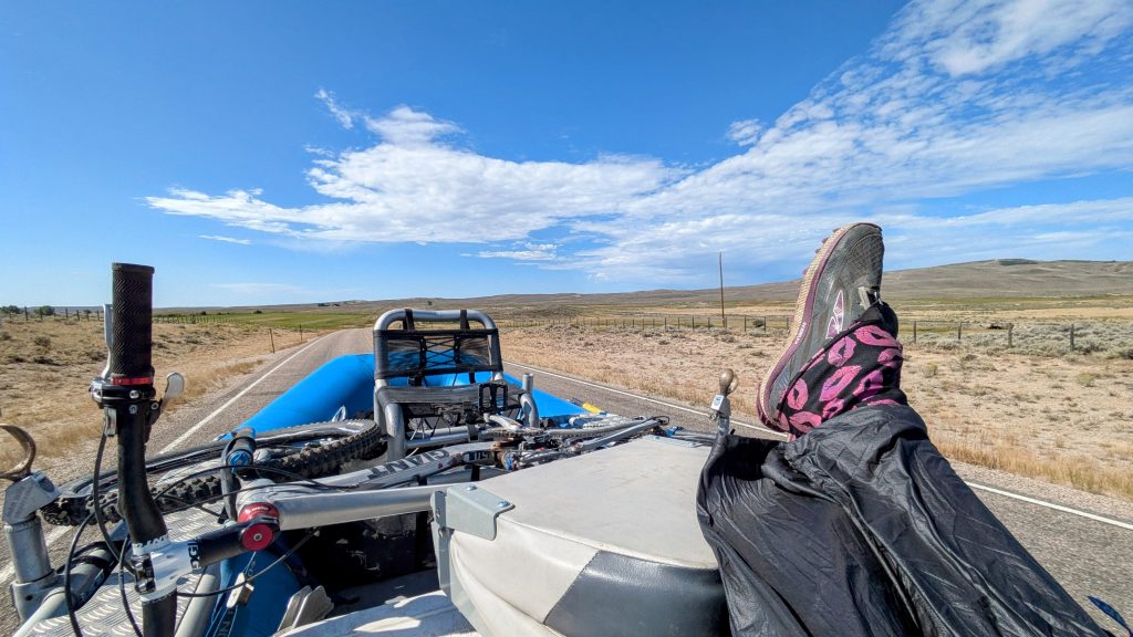
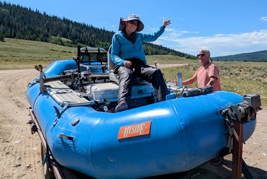
WRHR SOBO Day 1, Tuesday, Aug 6th, Green River Lakes Trailhead to junction with Knapsack Col alt, 14 miles, 2000′ gain, 650′ loss, Elevation 9360′. We easily got a ride out of town to the junction with WY 352, but from there it’s another 44 miles on a half paved / half dirt road to the trailhead. This is one of the toughest hitches along the CDT. We waited for almost an hour, until a pair of rafting guys from Colorado pulled over. We’d met them the day before at the junction of Union Pass rd and I’d seen them getting ready earlier in town this morning. I even asked them if we might get a ride but they didn’t really have room, plus were only going as far as Union pass rd once again. They took pity on us and made room for one to fit inside on the bench seat of the small truck cab and for one to ride the towed raft. Of course I jumped at the opportunity to ride in the raft! No doubt, this was totally illegal and could have landed the guys in trouble if we got caught, but I had no qualms about the arrangement. In fact, it was one of the best rides I’ve ever gotten because I was able to take in the 360 degree views and breathe the fresh air. We put down lots of padding in the front of the raft to make it comfortable to hunker down for the paved portion of the road. We slowed to about 20 mph when we got to the dirt road, so I was able to sit in the center captain’s seat and really savor the ride. I’d gotten several hitches on rafts and boats in my hiking days, but never a hitch on a raft going down a road….perhaps my best hitch ever!
Our rafting friends dropped us off at the junction where we were standing exactly 24 hours before. Luckily this day, a man was returning to the campground after driving out a ways to get cell signal. He quickly picked us up and drove us back to the rental cabin…the same cabin I hung out at back in 2019 when we met the renters/ravers then. The man was really kind, telling us about how he had fed several groups of CDT hikers already. He invited us in but we were too eager to get started down the trail. But not before taking the obligatory pictures standing in front of Green Lakes. This was where I attended a trail wedding in 2019 and held such good memories.
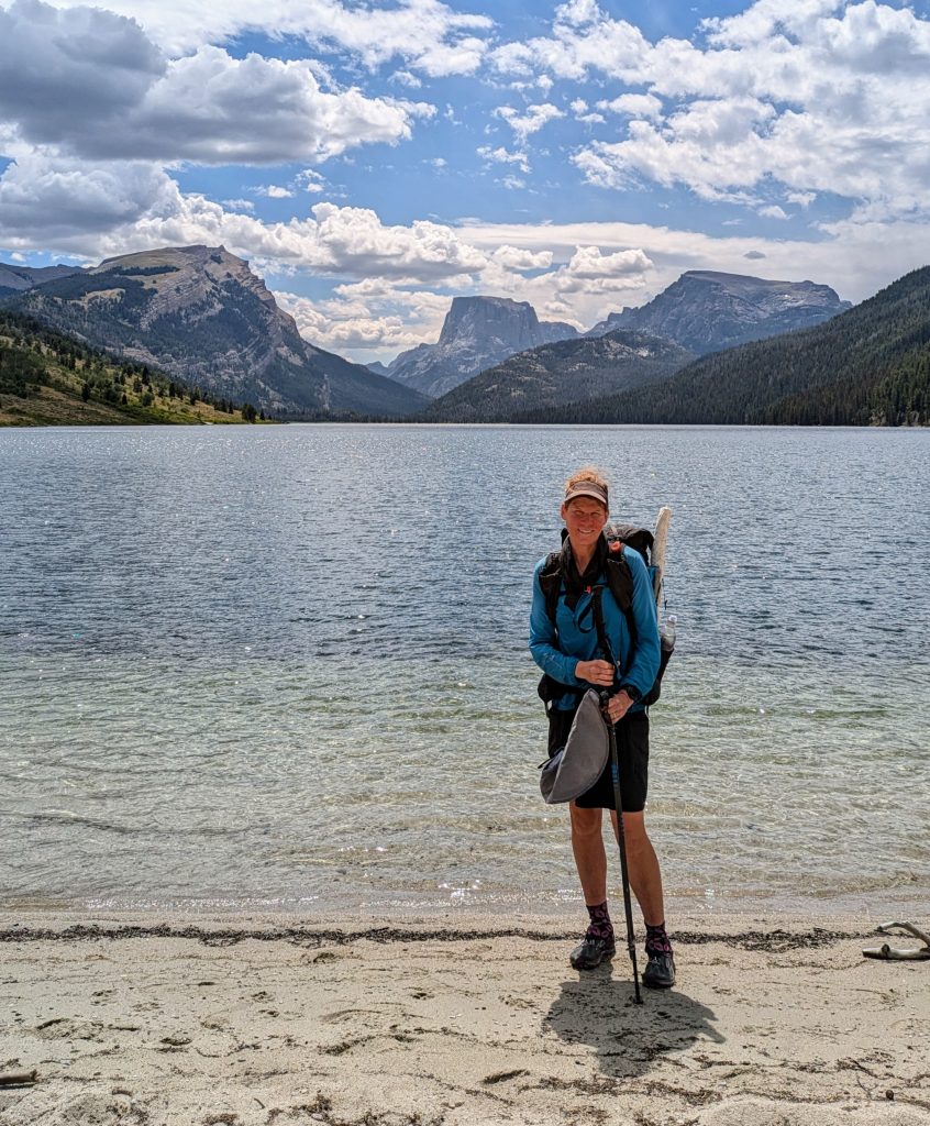
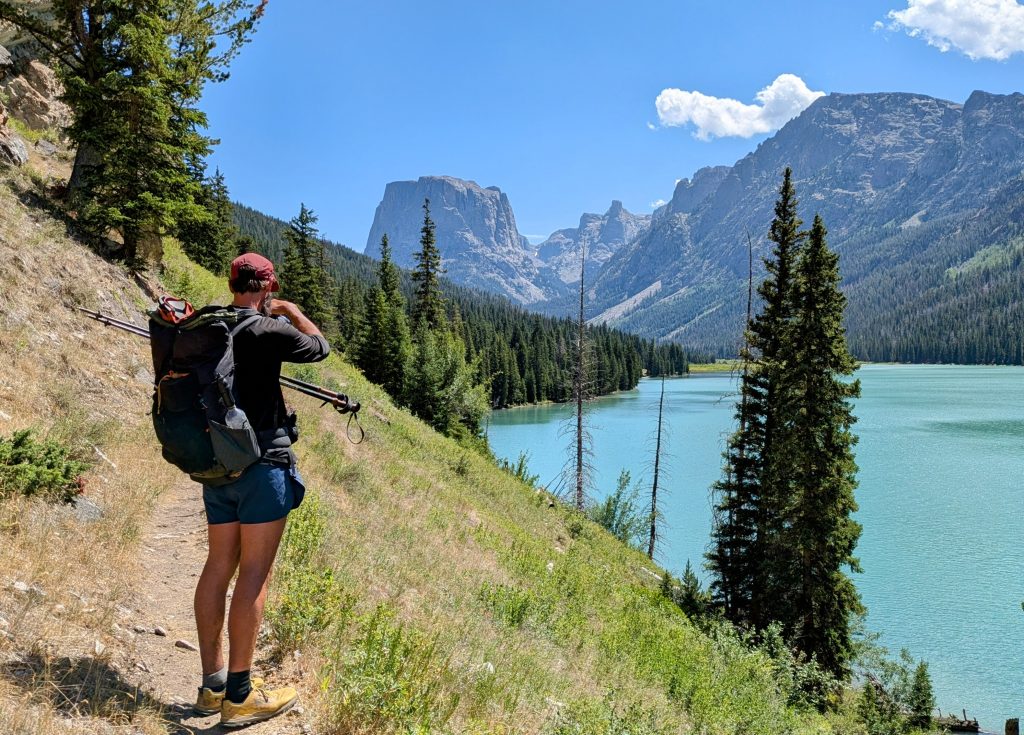
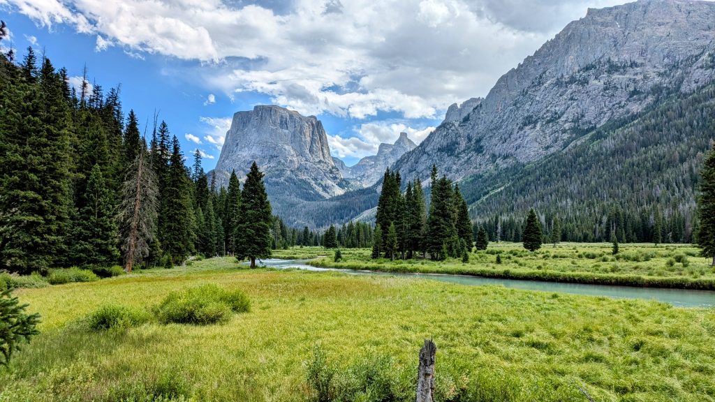
For the first time this summer, we were hiking an official segment of the CDT! I guess technically Strider had already hiked a part of the CDT through Glacier, in order to get to Waterton to begin the GDT. I was super stoked to be back on a familiar trail, especially one of the best parts of the CDT. The weather and scenery were absolutely epic this day! I didn’t recall the river and lakes being so stunningly green…perhaps because I was a little hungover last time I hiked through. Nature gave us her best this day, and we walked with ease, entranced in peace and harmony. Our introduction into the Winds certainly started on a high note.
We started the trail around noon and made it as far the junction with the Knapsack Coll alt, officially the beginning of the AD High Route. I hadn’t taken the alt in 2019…again, partially because I was hungover from the wedding party but also because I didn’t think I had the skills to deal with the snow/ice at the pass. I felt more than confident about it now. I’d completed many off-trail routes since I hiked the CDT, with a greatly expanded range of skills in navigation, route-finding, and scrambling. We found a really nice campsite at the junction and pitched our tents just as it began to sprinkle. The rain stopped after only a few minutes and we enjoyed a relaxed evening among the big trees.
WRHR SOBO Day 2, Wednesday Aug 7th, Knapsack col alt to Indian Basin, 20 miles, 5000′ gain, 2500′ loss, elevation 11,000′. The wildfire smoke came in thick this day, so unfortunately most of my pictures were pretty hazy. We got an early start at 6 am, since we’d heard from our friend Alan and were trying to catch up to him. We started 4 miles behind him but were able to meet him at the pass. I was surprised how easy I found the route leading to that point. There’s a pretty well-established trail, with cairns marking the entire way. It gets more tricky on the east side of the pass, where the snow tends to linger and there isn’t as much of a discernible trail. There’s also the remnants of a glacier, but it was pretty easy to bypass. Initially we stayed far to the left, descending steeply on a boulder and snow field, then to the far right, along the moraine field of the shrinking glacier. There were quite a few other hikers going up and over the pass and even more along the Titcomb basin. We stopped for lunch at one of the lakes, then continued on to Indian basin and up to Indian pass.
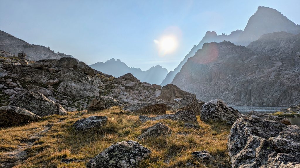
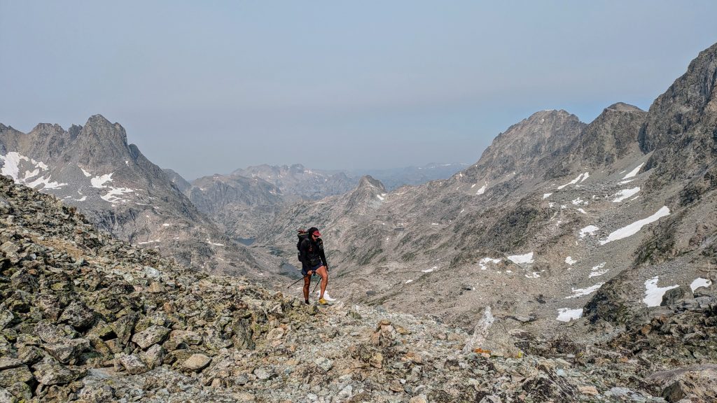
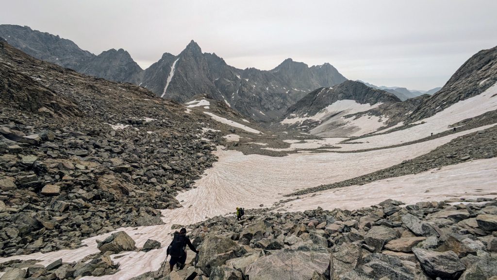
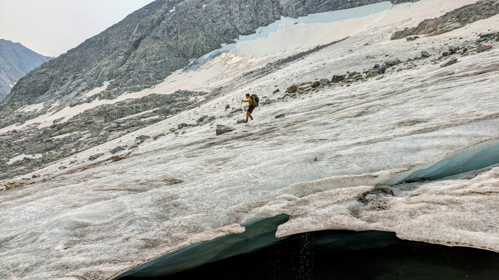
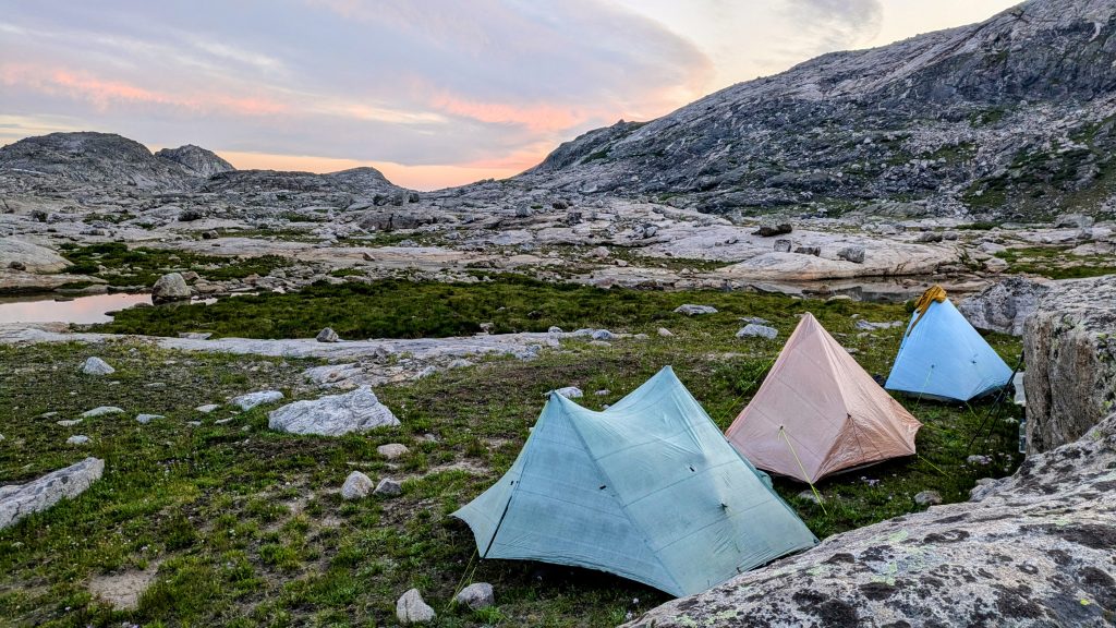
We got a bit carried away this day, thinking we could knock out Knapsack coll, then Indian Pass as well as Alpine Lakes pass. We didn’t fully grasp how long it might take to navigate the Knife Point Glacier (situated between Indian and Alpine Lakes Passes), plus travel past one or 2 of the Alpine Lakes. That section is generally considered the crux of the entire high route, as it involves a lot of scrambling along the lakes and is through difficult rock, entirely bereft of a trail or trees. We reached Indian pass by 5 pm and stopped to reassess. It had been a longer day by 4 miles for Strider and I, plus this was the highest in elevation we’d been all summer. I was tired. We had cell signal, so we pulled an updated wx report. It wasn’t good, calling for a high chance of severe thunderstorms the next few days.
We were running out of daylight, worried we might not find a decent campsite in the rugged next 8 miles. So we made the tough decision to turn around and go for the lower route over the next few days. For Alan, this meant he’d simply continue south on the CDT and take the Cirque of Towers alt if the weather allowed. For Strider and I, we didn’t really have enough food to delay for a few days and still complete the high route. At camp, we decided to explore more of the lower parts of the range over the next 2 days, exit at the Elkhart Park Trailhead, then try to do more of the High Route starting from the southern end. At least we had a fun time hiking and camping with Alan. Our campsite was very exposed, but the weather stayed nice through the night.
WR Day 3, Thursday, Aug 8th, Indian basin down past Island Lake, back to CDT south to Timico trail, then north on the Highline trail to North Chain Lakes, 19 miles, 3200′ gain, 4400′ loss, elevation 9840’. This day didn’t have anything to do with the High Route, but we used it to see more parts of the lower Wind River range. We followed the CDT south to where it met the Timico trail, said farewell to Alan, and looped back north to eventually follow a series of trails out to Elkhart park. Basically we were just enjoying some easy miles for the day. We hit a section with bad mosquitoes for a brief spell, but fortunately our camp by the lake was mostly free of them. The bugs were horrendous when I hiked through the Winds in 2019. I was so thankful they were basically not a factor this time. The highlight of the day was going for a swim just before dinner and then watching an amazing sunset.


WR Day 4, Friday, Aug 9th, Highline trail to Pole Creek trail to Elkhart Park trailhead, 1100′ gain, 1400′ loss, 11 miles, hitch to Pinedale. We hiked out on the very popular Pole Creek Trail in the morning, probably passing nearly 70 people that were heading into the Winds for the weekend. The trail reeked of horse and mule piss, as it’s also very popular with stock animals. But we only saw goats and llamas on the trail this day. We easily got a ride with a group of people that I’d earlier met in town. The couple was from CO but had relatives living in Pinedale, who were the ones that gave us a ride.
We regrouped in town and decided to go for a part or all of the WRHR starting from the southern end, despite the continuing unsettled monsoon forecast. The weather hadn’t been as bad as predicted this day, so maybe we’d get lucky. But a big thunderstorm did roll through town in the evening, so we were glad we splurged on a hotel room. Camping in the park might have been a bit wet and windy!
This section was 64 miles over 4 days, but really only about 20 of those miles and one day were on the High Route. It still made for a nice semi-loop hike.
