Uinta Highline Trail, Leidy Peak to Hayden Pass, Aug 25th-29th. 80 miles. This was the 5th mountain range and 3rd state in my impromptu short hike summer tour (Tetons, Gros Ventre, Wind River Range, Sawtooths, Uintas). I actually planned this hike for my 2023 season finale, but ended up going back to the Grand Canyon to finish the Hayduke instead. So I was really excited for the chance to finally do this hike, as it had been on my list for quite some time.
The logistics in getting to the start fell into place perfectly. I utilized the very awesome and affordable Salt Lake Express shuttle to get from Logan to Vernal. Both shuttle segments were on time and had very friendly, professional drivers. This was a completely different experience from riding Greyhound buses, THANK GOODNESS! Once in Vernal, I had the extreme luck and pleasure of meeting a Trail Angel, Kelly, aka ‘Chaps’. She had earlier hiked the AZT and worked for the US Forest Service in Vernal. Wanting to give back after her experiences with AZT Trail Angels (here’s to you MJ!), she’d posted an offering on the UHT FB page. She was so awesome to let me crash on her floor and then drive 1.5 hours (one way!) all the way to the Leidy Peak Trailhead the next morning.
UHT Day 1: Sunday, Aug 25th, 2024, Leidy Peak TH to Sharlee Lake. 16 miles. Elevation 10,740′. Note, I skipped the first 20 miles of the trail since it’s mostly low in elevation (not very scenic) and travels through a burn area. Many recommend doing this if you are lucky enough to get a ride to Leidy Peak. It’s kind of a remote trailhead, but there are shuttle services available. Chaps and I arrived at the trailhead by 9:30 am, after a 6 am wake up. What an amazing lady to get up so early on a Sunday and drive me all that way…I made sure to give her plenty of gas money!
We were surprised to find it raining in Vernal when we awoke. It left big puddles in the road on the way up. Chaps’ vehicle got pretty muddy, for which I felt really bad. I invited her to at least go for a short day hike with me, to make the drive more worth her while, but the weather wasn’t great and she wisely declined. Still, we had a great time telling trail stories and chatting about gear. Thanks so much Chaps! You made my start so easy and perfect! I bid her farewell, and started out alone…this was my first solo hike all summer.
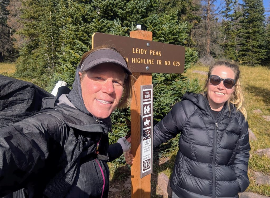
It was in the mid 40’s when I set off. The sun came out briefly, but it was still very windy and blustery. I was wearing almost all my layers. I’d been checking the forecast for several days before, which claimed only a 30% chance of rain/snow for this day. In the morning, forecasters bumped the chance to 80%. I guess the Uintas are similar to the Winds when it comes to weather (un)predictability…as in, anything can happen and it’s always changing. But the forecast showed the rest of the week as being clear…fingers crossed!
The trail was immediately fantastic, through the open tundra and along rounded ridgelines. It felt a lot like the San Juans of Colorado. The clouds were also dramatic. Several times I felt like I was walking straight into a maelstrom, but luckily the storms skirted me while I was on the exposed ridges. Still, I moved quickly, eager to get lower. After 8 miles and a last exposed pass just past Dead(cow)man Lake, I dropped into a forested section. I stopped to have lunch at Whiterocks Lake, just as it began to rain. It became pretty heavy and went on for about an hour all the way to Chepeta lake. I stayed mostly dry, even through some extremely windy conditions. I was using my HMG umbrella with vents, which did well at dissipating the gusts. I also had on my rain jacket, skirt, pants and mitts, mostly for the cold.
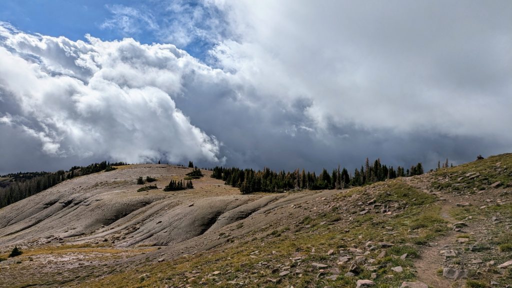
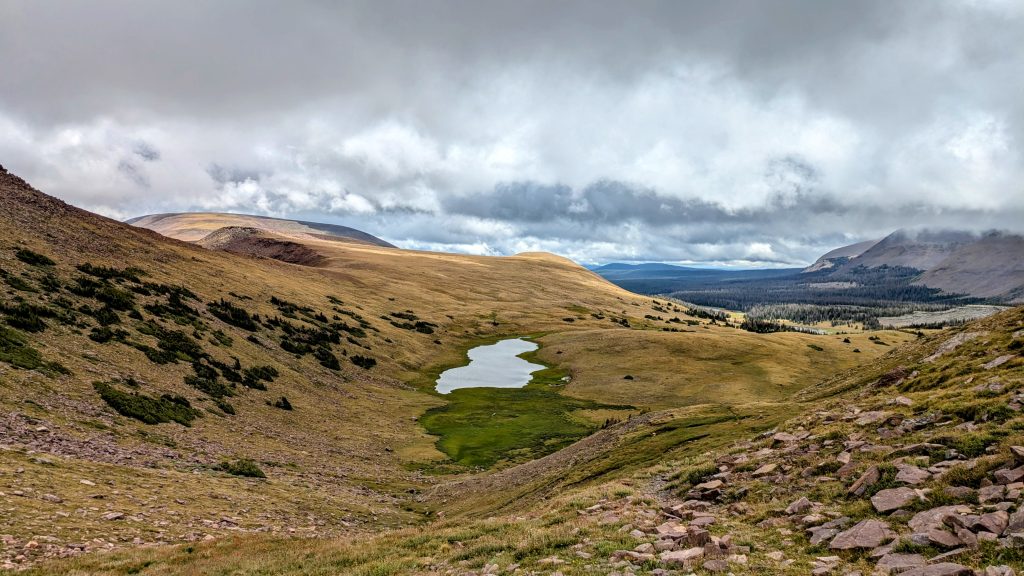
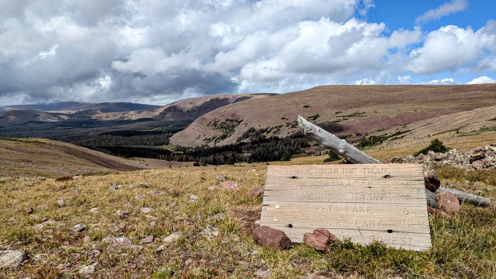
I made my planned 15 miles and camped early at 5 pm by the last small lake on the map, which was reported to be a good moose spot. Sure enough, one of these residents wandered past my tent, which I just managed to get up before another deluge of hail and some thunder. It also got very cold, down to 32 F by the next morning. Thank goodness Woody let me borrow his 50 degree Enlightened Equipment synthetic quilt. I used it as an over-quilt on top my 30 degree quilt, providing extra warmth and protection from moisture. It added 12 oz to my pack, but I would have been pretty uncomfortable without it. I hadn’t selected my gear for such high elevation trips at the beginning of the summer, planning to be in Canada the whole time. Luckily this borrowed gear was just the extra boost I needed.
Besides the moose and some deer, all was pretty quiet throughout the day. I met only 2 guys on the trail, passed one tent, and heard some people arrive camp nearby around 7 pm. They managed to make a fire, somehow.
UHT Day 2: Monday, Aug 26th. Sharlee Lake to Yellowstone Creek. 26 miles, plus summiting Kings Peak 13,527′ Highpoint of Utah, from Anderson Pass. Elevation 10,960′. What a difference a day made. It was frigid in the morning, but the sun came out full and bright after the storms, drying the trail and bringing warmth. There was a light dusting of snow on all the passes and even some patches in the valleys. The rain washed away all the footsteps from the days before, so I could see I was only the second person over North Pole Pass in the morning. I only saw 1 person on trail all day, but passed about 6 tents in the first 3 miles…everyone had wisely stopped short of the pass, given the bad weather.
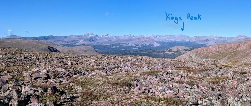
The name was imposing, but the pass was easy, so I got it in my head that I could hike a big day to summit Kings Peak for my birthday. I’d planned to do it the day after and probably should have stuck to that plan, given my late start (7:30 am). I also took a long lunch break to dry my tent and quilt. But I pressed hard all afternoon, making it to Anderson pass by 6:30 pm. I only had an hour and a half of daylight left at that point. I dropped my pack and charged the 0.6 miles and 700′ gain up the peak. Success…plus I had the summit all to myself.
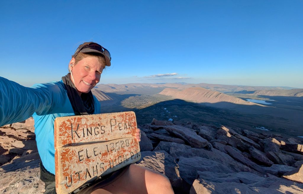
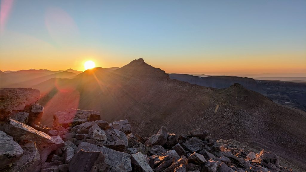
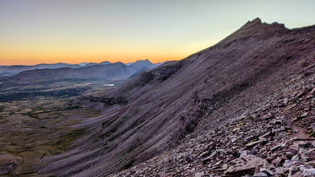
Watching the sunset from up there was magical, but it got cold so fast. I hurried down in the dark for 3 more miles, finding some sparse trees near Yellowstone creek. It was already 9:30 pm and near freezing by the time I found a campsite. Another moose wondered by once I was in my tent. I could hear it splashing and munching on grass. How it could be getting wet in the stream when it was so cold was beyond me…they’re tough animals. I finished my dinner after 11 pm and crashed hard.
26 miles above 10k’, 2 passes and a 13,527′ Highpoint for sunset…what a way to treat myself. But I was proud: at my ‘advanced’ age, I could still put in a monster day. I felt as good as I ever did in my 20s. I guess some might actually see this as punishment but not me. No cake, no drinks, no party, not even one other person to share it with… just altitude, freezing cold, miles, mountain tops and clear blue skies. Thank you Earth for such a wonderful present.
UHT Day 3: Tuesday, Aug 27th. Yellowstone Creek to Deadhorse Lake. 20 miles. Elevation 10,920′. I allowed myself a very late start at 9 am, given the late night I had before. I needed to average 20 miles a day to finish in 4.5 days, and I was more than on track. Wisely or not, I’d scheduled a flight for the same afternoon as the day I planned to finish. I don’t like setting such tight deadlines, but I was pretty confident I could make it.


It was another brilliant day, warming up quickly in the full sun. I caught up to one guy before Porcupine Pass and chatted with him a bit, starved for some human interaction after having none the day before. He told me about some of the other hikers ahead that I was likely to meet. I’d seen a ton of footprints leaving the Kidney lakes (my lunch spot Day 2), so I knew there was a bubble half a day ahead of me at that point. I later learned these were all the people on the Saturday shuttle…10 in total. The trail led past some pretty alpine lakes and into the red bluffs. The pass was one of the most scenic yet and such a joy to travel up and down, with perfect switchbacks. I passed 4 more hikers in the long meadow after the pass. I also saw a ton of domestic sheep grazing in this section – Lambert meadows. The sheepherders had several camps set up nearby and were riding horses. What a place to make a living.
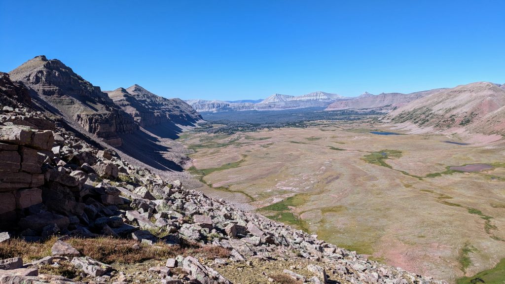
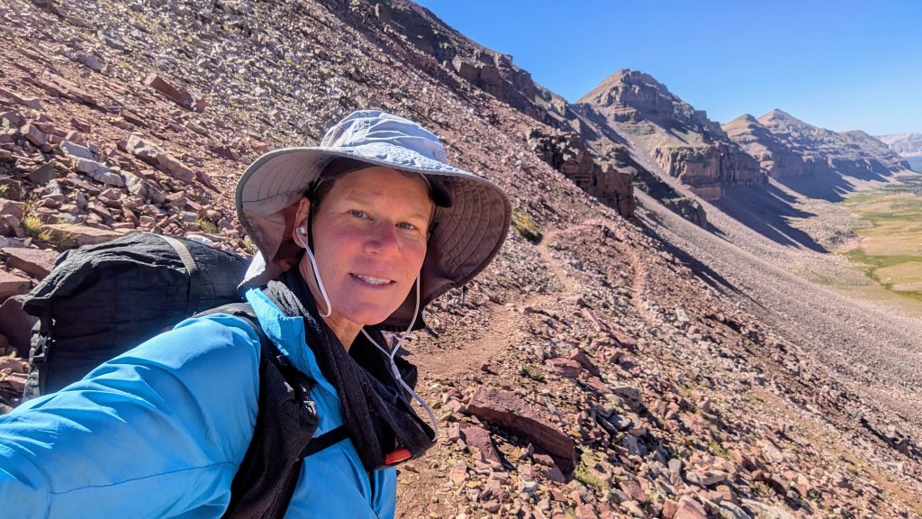
Just as I was contemplating a lunch spot, I came across a lady having hers by a stream. I asked to join and struck up a conversation. She first told me her name was Christy, but pretty soon I put things together to learn that she’s a hiker I’d read about over a decade before, known as Rockin. She’d been prominently featured in 2 trail blogs I followed, Walking with Wired, and Nancy Hikes. In fact, she has her own popular blog Lady on a Rock. I was so stoked to get to meet her, out on a trail, no less. We hiked together the rest of the day and camped together that night. I hadn’t expected to find another trail buddy on this hike, but was very grateful for her company. There was much to learn from Rockin, as she knows everything about the Sierra and even works as a guide for Andrew Skurka.


We had a great wildlife sighting just before another pass…White-tailed ptarmagans! I’d just read about how they’d been introduced to the Uintas in 1976. I’ve always loved seeing these birds in Colorado and couldn’t believe just how perfectly they matched the rocks here! I bet you couldn’t spot them without me circling them in the picture. Evolution seemed to have them perfectly matched to the Uintas.


The afternoon was pretty chill, with more easy miles up and down Red Knob pass. We passed some hunters on horses, then met tons of backpackers at the lake. We discovered it was quite windy on the other side of the pass. The cold wind was blowing hard across Deadhorse lake, but eventually we found some protected spots up against a hill. Rockin also had a Zpacks Plex Solo tent, thus was able to squeeze it into a tiny space.
UHT Day 4: Wednesday, Aug 28th. Deadhorse Lake to Scudder Lake. 17 miles, Elevation 10,000′. Rockin took off early the next morning, eager to get some sunrise photos. I got some nice ones myself heading up to Deadhorse Pass, catching up to her on the other side. We then took an alternate trail to avoid reportedly bad trail in a burn area. The detour was a little tedious, with some deadfall to climb over and an extra mile added when I took a wrong turn. After the first spectacular 3 days, this one was more average.


We took a nice lunch break next to a stream, then hiked over our last pass…Rocky Sea. We entered another burn area in the late afternoon, but thankfully found some live trees to camp under near the last lake along the trail. We could have easily finished this day, but were in no hurry. There was no sense in camping near the trailhead or heading back to spend money in a city. We had an easy hike the next morning, leaving me plenty of time to get to the airport. I tried to go for a swim in the lake but it was too shallow and mucky. I still managed to rinse off…a blessing to whoever had to sit next to me on the plane the next day.
UHT Day 5: Thursday, Aug 29th. Scudder Lake to Hayden Pass Trailhead. 2 miles. We finished the hike early in the morning and Rockin gave me a ride to Kamas, where I was able to catch the Salk Lake Express shuttle to the SLC airport. How’s that for perfect travel logistics? Rockin had left her car at the trailhead, where she’d met with the Saturday shuttle driver to Leidy Peak. I figured it would be easy getting a ride from the trailhead at the end of the hike, but didn’t figure on it being that easy and with such good company. Rockin had to drive all the way back to Tehachapi, CA, while I had a flight to Denver, CO. So great to get to hike with you Rockin! I hope we can do it again!


Later that day, I was treated to incredible views of the entire UHT from the air! I was able to spot every part of the journey, including the lake and parking lot I’d just been camping near that morning. Airline travel can be the worst, but this day it was the best! It was a pretty short flight to Denver, with no delays, lost bags, or unexpected expenses. On the contrary, it was like going on a private air tour, and for free, using my miles. All’s well that ends well. And here’s a preview into my next series of blog posts…Colorado 14ers! (see aerial view of Long’s Peak, one of my favorites, below). In a span of 3 weeks, I knocked out another 16 peaks. It was a great way to wrap up an incredibly diverse hiking season.


Hi Twig – I hope you are doing well since we last saw you at ALDHA west in 2022!
Question for you about the Uinta Highline Trail – how hammock-able do you think that trail is?
Beardoh & SweetPea