August 25th, 2019
Bill Moore Lake mm 1699.5 to Quayle Creek next to I-70 mm 1730
Distance in miles: 30.5
0610-1840
The wind howls all night but I don’t feel it in my tent. It flaps maybe once during a gust. It makes me happy every time my tent doesn’t get blasted but at the same time, I’m reminded that the wind is going to be present all day long while I’m hiking. At least I sleep well, probably the best I ever have above 11,000′. It’s hard on a body to rest above this elevation. Your metabolism is working overtime just to stay warm and get enough oxygen.
It’s surprisingly dry and not too cold in the morning. We camp upwind of the lake and pass a ton of tents on the other side. Apparently one can drive up to this lake, hence all the car campers. We begin the climb through a massive slope of talus, where the pika constantly give their warning cries. EEAP! The climbing is enjoyable for me. The sun is lighting the surroundings with a soft glow so that the bleak mountainside comes alive with color. It’s breathtaking…or is it just the elevation?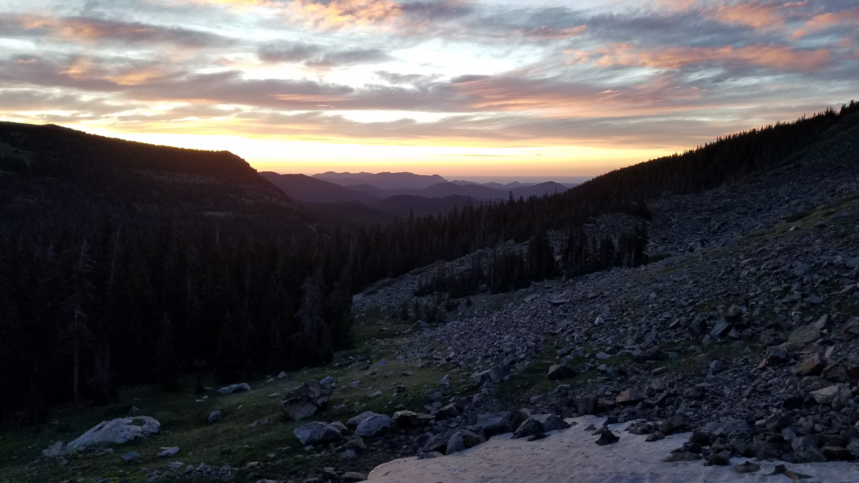
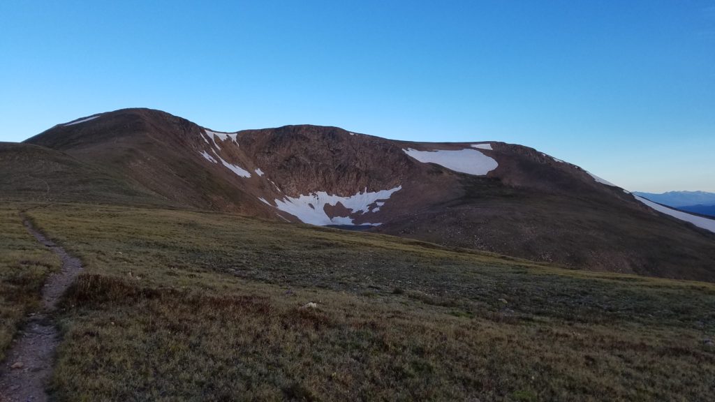 The wind affects us more and more as we climb, and I stop several times to put on layers. Mt. Flora is a rather round mountain, so the trail isn’t too steep. We find a stone bivy at the top and dive in to get out of the wind. I wonder if I’m the first to the top for the morning but arrive just as two trail runners come up from the other side. They barely have any layers and are freezing too.
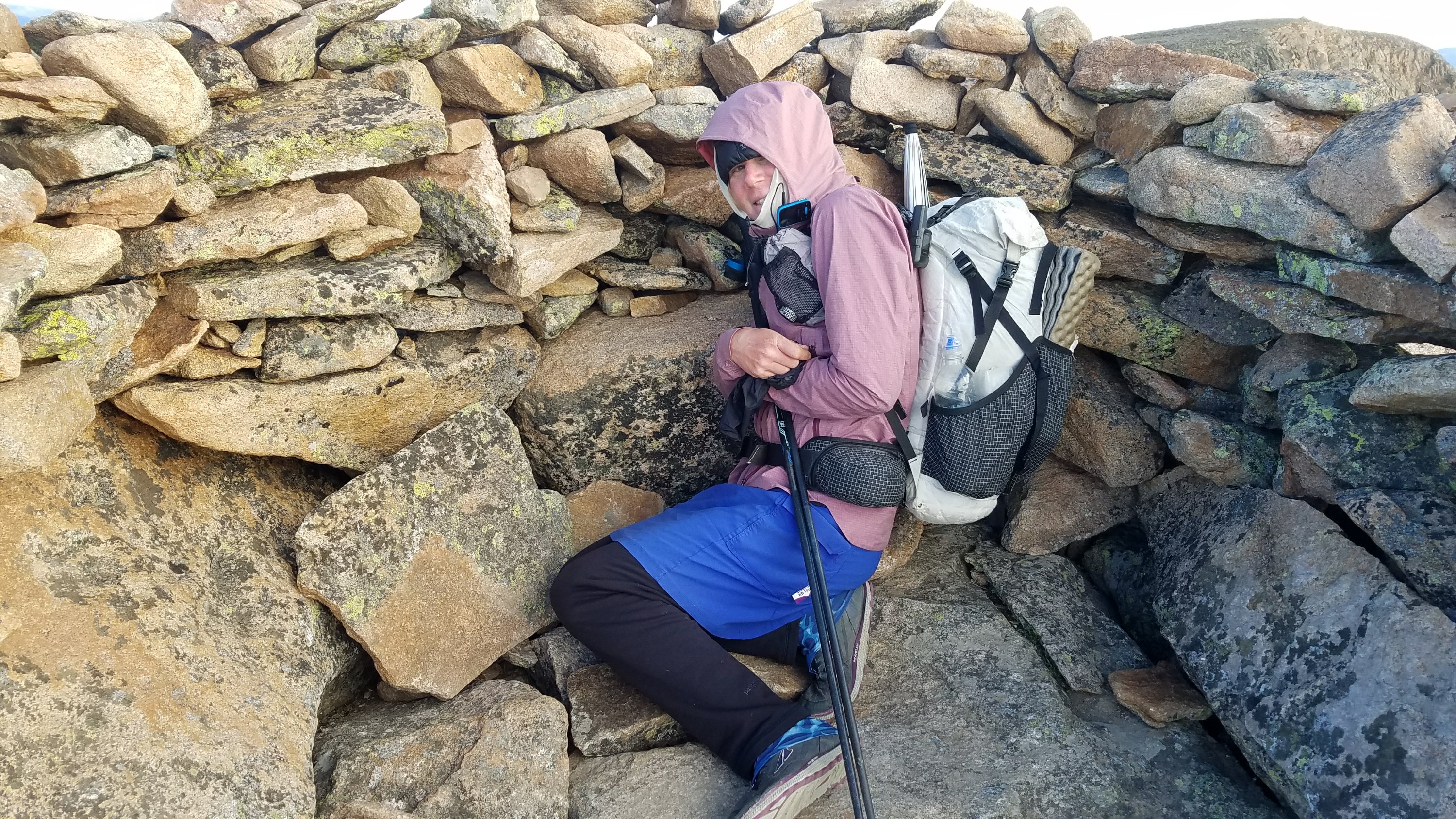 We all huddle in the bivy and build mental fortitude to face the wind again. The lady runners had wanted to do the 5 peak route but the wind has changed their minds. Another giant lenticular cloud is blocking the sun’s rays, so it feels even colder. They ponder that the forecast called for a beautiful sunny day but mentioned nothing about the wind. It’s a different world entirely up here on the divide.
We start down and find that the wind is even stronger on the other side. I do my best skydiving impression in one particularly bad spot. I put my arms up and can lean over quite far into the wind without falling on my face. It’s kind of fun. I’ve never had to worry that the tread on my shoes is enough to hold me to the surface of the earth while standing on flat ground. Today I can actually feel myself sliding out at times.
At the bottom of the descent is Berthoud Pass with a rest area. I go inside to warm up, where Relentless tells me that he just doesn’t have it in him today. He didn’t sleep well and the altitude and cold is getting to him. He wants to walk the highway down to where it meets up with I-70 and then meet me there, along where the trail crosses.
I am taken aback by this but don’t have time to try to talk him out of it. I really want to make the miles today. Yesterday I took a good look at the route and realized that I could hit the highpoint of the trail, Grays Peak, in 2 days (Aug 26) provided I do about 30 miles on this day. There’s once again a ton of elevation gain and loss but my heart is set on this schedule.
I continue from the pass, going up again to a ridge where the wind resumes. There are many day hikers and runners, including the 2 women from the top of Mt Flora. I hurry along, keeping up with and even passing the runners. The trail then drops into a valley and I begin a huge U-shaped dogleg around this valley. The north part of the U traverses the slopes, staying lower in the trees. There are streams everywhere and it’s a very lovely walk.
Inevitably, the trail climbs up to the ridge and I walk the southern section of the U, all on exposed slopes…about 6 miles in total. The trail goes up and down the top of every little peak along the ridge and the wind is a constant force. It whips me from every direction but mostly as a crosswind.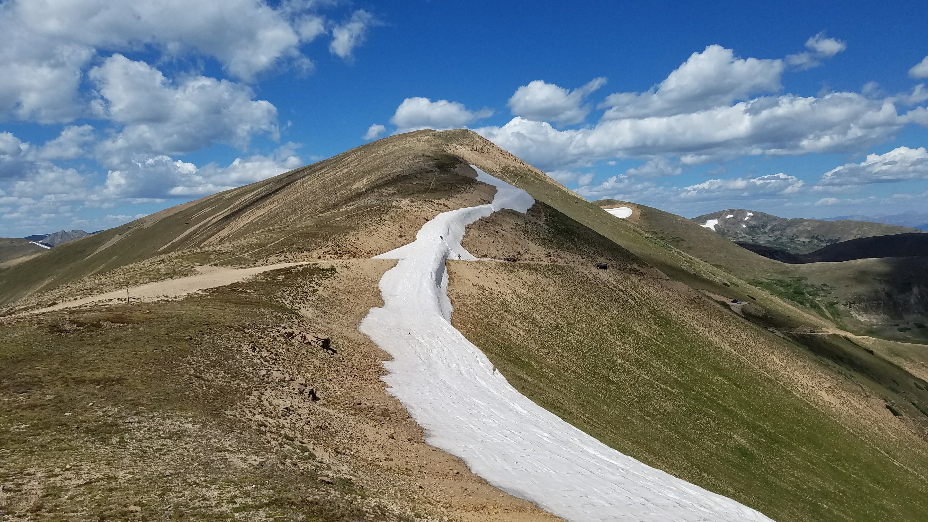 It’s all a mental game in this stretch. My mind comes up with reasons why doing this is stupid, why I should just take an alternate down to Silverthorne that bypasses all the peaks and ridges in the days to come, cutting off 35 miles. But my poor, miraculous body is a machine, working step by step, until I’m at the top of another 13,209′ peak…there are so many around that they don’t even bother to give it a name.
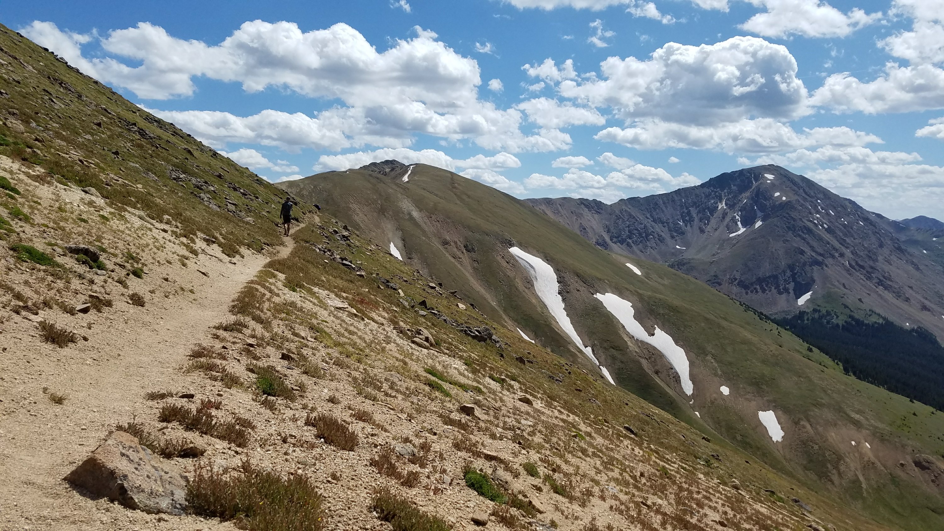 I take a break and ponder all the surrounding mountains. The scale of everything is so massive..a tangled mess of rock. Mt. Flora is just across the valley, not far from where I left it in the morning. I have already traveled over 21 miles but as the crow flies, it seems I’ve only gone about 5 miles. Travel through this maze of uplifted rock is complicated and difficult. It doesn’t help that the CDT really tries to stick to the divide here.
I start moving again shortly, since I still have 9 miles or so to get where I planned to camp. It’s all downhill and I start to pass many dayhikers. I follow a creek, which shows a lot of evidence of avalanche and flooding damage. There are still patches of snow in the creek, remnants of the deluge that flowed down from the valley. Gravity at work, on me and everything else.
I reach I-70, go through an underpass, and connect to a paved bike path that runs parallel. It will take me 3 miles east, all downhill, to where the road goes to Grays Peak trailhead. I have never been so happy for an easy finish to the day. I didn’t know if I could do over 30 miles in such hard terrain but I proved that I can. I feel triumphant and stop to pick raspberries along the way…my small reward.
I find a nice stream with flat spots under the pines. I’m a little leery of vehicle access being close by but then Relentless arrives and now there’s safety in numbers. We swap stories of the day and he gives me a boxed apple pie slice that he procured in his travels. The night is warm and gentle, the sound of nearby I-70 just white noise over the creek. It seems a funny campsite after the beautiful areas I passed through all day but it sets us up well for our peak bagging in the morning.
