Wednesday, August 3rd, 2022, 0830-1900
Rattlesnake Gulch to Fireplace Camp, WEBO mm 642.4, Section 6 Pasayten Wilderness
26.2 miles, Gain 7900′, Loss 2110′, elevation 7000′
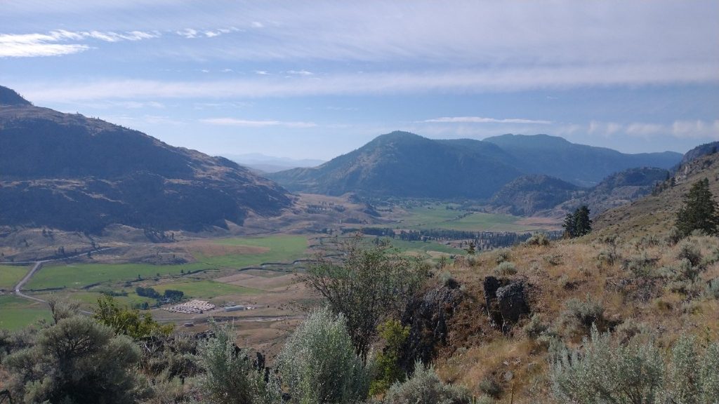
In the morning, we repeated our car ride to just past Loomis, courtesy of Kevin. Thus began a day of many miles of climbing with a very heavy pack. We each had 5 days of food…which was actually the bare minimum considering the 140 miles we needed to hike before our next resupply. We’d need to average 28 miles a day and already I was fairly certain I’d fall short of the goal this day. We didn’t get the earliest start and it was hot as we made our way up a dry exposed dirt road. The valley dropped away quickly and soon we were back amongst trees and streams.

We stopped for water several times, trying not to carry much on our laden packs. The morning passed quickly and we only saw a few cars go by. There were some cows and lots of signs from them. Cow splatters, trails, and mucked up creeks were everywhere. We walked a mix of old jeep track, cow trails, and dirt roads. All day, the trail was so dry and dusty, even after the cows were gone. It was quite an abrupt change from the lushly overgrown trails we’d just come from in Glacier NP.
Sometimes the route was hard to follow or easy to miss a turn… cow trails ran like a nexus to and fro. A lot of this BS could have been bypassed if we’d just stuck to the main dirt road but I guess the adventure trails were fun because I got to check out an old cabin. After lunch, we followed a trail that looked newly constructed, complete with a few beefy bridges over the tiniest of streams. I figured the bridges were probably scout projects.
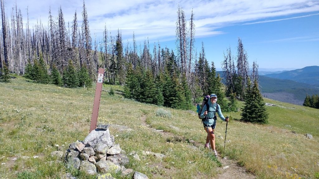
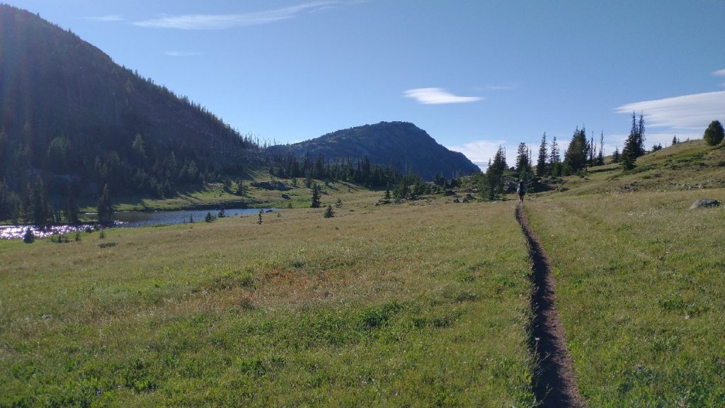
Around 3:30 pm, we entered the Pasayten wilderness. It’s one of the largest in the country, at over 500,000 acres. It also feels like one of the most remote parts of the country. There are wolves, wolverines, lynx, caribou, and even the occasional grizzly. We’d follow the Boundary Trail for over 50 miles, so named because it parallels the Canadian border so closely. Fittingly, it began in a burn area, where we zig-zagged up a meadow and over the top of Goodenough peak…well the trail didn’t actually go over the very top. “Goodenough” indeed, as I had long decided I didn’t want to go up anymore this day. We’d done nearly 8k’ of gain by the end, which is massive. The trail skirted a few more saddles and wound nicely through meadows and a few small lakes. The wildflowers were everywhere once again. It was very peaceful along this stretch.

About the only action all day came when a savage momma grouse attacked Wolverine. I looked up just in time to see the grouse flying towards Wolverine’s back while she put out her trekking pole to fend her off. Of course, I was immediately jealous. When I walked by seconds later, she wasn’t as irate. Her chicks had a chance to skitter off, so she didn’t see me as much of a threat. I stood to face her, encouraging an encounter but she only clucked at me. I just wanted to cuddle her and tell her how much I love grouse, even when they are angry, but I doubt that’s what she wanted or needed.
We also passed by 2 hikers. One was filtering water, so we didn’t know his direction, and the other was going eastbound. This area is somewhat popular with hikers, so I was sure we’d see more. I decided to stop at mile 26 for camp. Wolverine stopped to have dinner but then pressed on another 2 miles. I planned to be walking by my normal 6 am in the morning (especially considering our time change, in which we gained an hour again) and she preferred to sleep in a little. So we figured we’d meet up again first thing the next morning.

I was glad to stop by 7 pm, getting set up quickly since the mosquitoes came out in full force once again. I’d really thought they might have dropped off with the hot and dry conditions but I was wrong again. At least the temperature was much cooler. A cold front was supposed to come by in the next few days and really cool things down. I couldn’t wait.
