Friday, September 20th, 2024
CO 14ers: 41 of 53
Distance RT: 5 miles
Elevation gain/loss: 2500′
Starting Elevation: 12,′460 (10,800′)
Summit: 14,155′
Rank: 27 of 53
Location: San Juan Mountains, outside Ouray
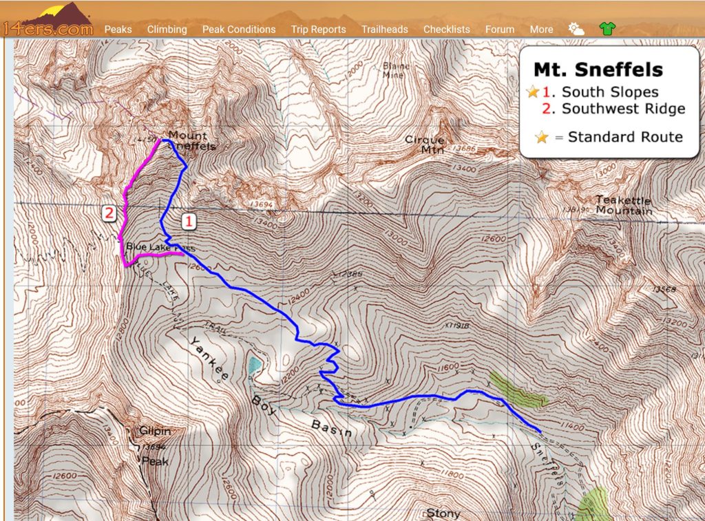
Route: Yankee Boy Basin Trailhead to South Slopes, Easy Class 3
My reward for hiking five 14ers in 2 days was to hike one more, making it 6 in 3 days. When planning this San Juan excursion, I didn’t know if I’d have time for Mt Sneffels. Now that I did, getting to the trailhead turned out to be much harder than mustering the energy to hike it or navigating the Class 3 route. Recalling my pictures from the day before, Mt Sneffels sits relatively close to the other 5 in the area. In fact, it’s only 16 miles from Wetterhorn Peak, and 18.6 miles from Uncompahgre, as the crow flies. But the only feasible way to reach it in my car was to drive over 150 miles one way from Lake City to just outside of Ouray. There’s a much shorter 4WD road that connects the 2 towns (the same one I drove up to reach the Wetterhorn and Uncompahgre trailheads), but I wasn’t about to drive it with my electric rental car, in the dark. And to further complicate things, I encountered an overnight road closure of HWY 50 that almost stopped me (it did stop me, just not completely).
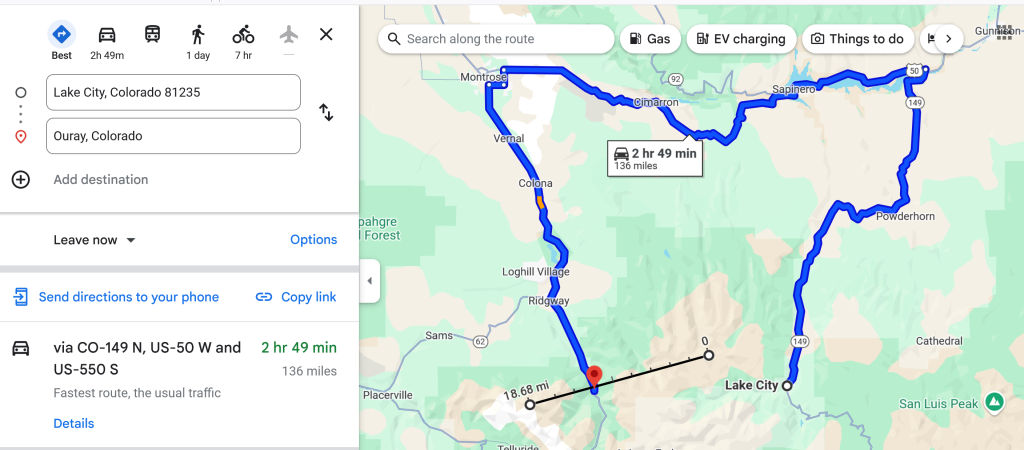
The night before, I was trying to drive from Lake City to at least as far as Montrose, with a plan to arrive just in time to get a fast food dinner by 9 pm. But as soon I hit HWY 50, I started seeing the road closure warnings. Several bridges across Blue Mesa Reservoir were undergoing major emergency repairs, with nightly closures from 7 pm to 6 am. No wonder Google Maps had been trying to divert me back through Gunnison and all the way up to I-70, which would have been an 8 hour drive. I cursed myself for not stopping to get dinner in Lake City (there’s only like 3 options), but at least I had some leftover backpacking meals that would get me by. I pulled into the first rest stop along Blue Mesa Reservoir and broke out my trusty stove and pot. The parking lot was empty, so it seemed like a quiet refuge for the night. What pleased me the most was that the temperature was in the 60’s, a far cry from the previous days of cold. Luckily it proved to be the perfect spot to sleep in my car, but still left me with a long drive the next morning. I almost decided to abandon my plan, worried about getting a late start. But the weather was going to be good for another whole day and I hated to waste it. Plus, the route to the peak was very short, especially compared to the long days I’d put in recently.
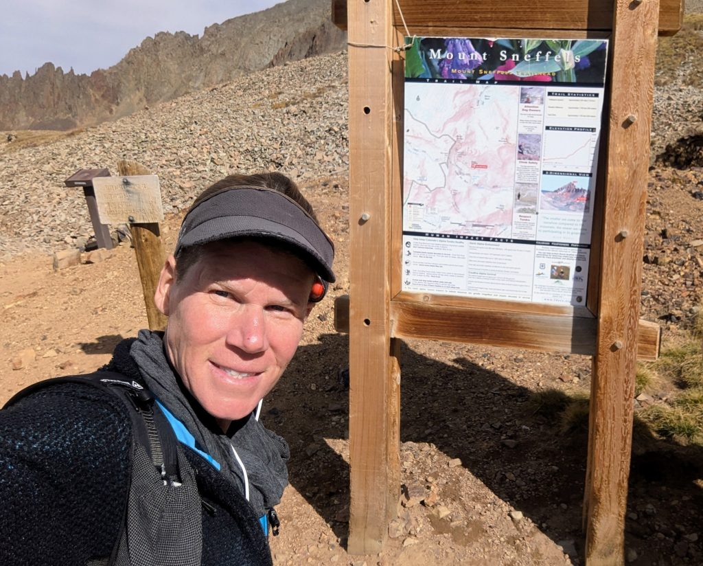
I woke by 5:30 am the next morning and hit the road. I was in the first line of cars to go across the closed HWY 50 bridges, so all in all, my timing was pretty good. The rest of the drive was uneventful, if a bit slow due to all the construction and traffic. I made it to the 2WD trailhead by 9 am and started walking. Yes, the trail from the upper trailhead to the summit was short, but I always forget to take into account the extra miles walking up the 4WD road… 5.25 miles, to be exact. I hoped my karma for giving JJ a ride the day before would pay off, and did it ever. I’d only gone 2 miles when a jeep couple from Denver (Coloradan’s are awesome) offered me a ride. They also picked up 2 other hikers on the way, so they were very kind and generous.
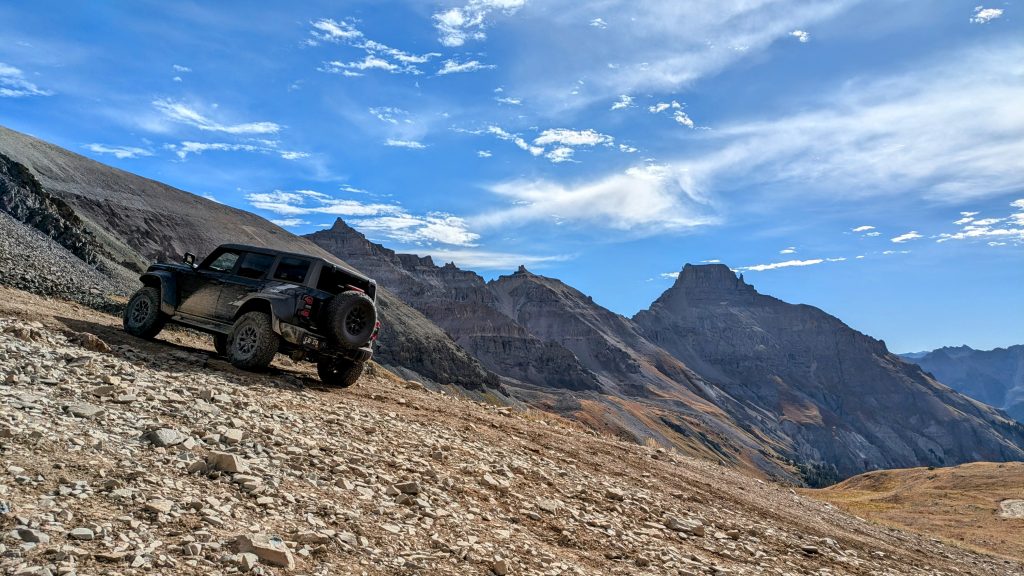
What a ride it was! The couple had one of the most sophisticated jeeps I’ve ever seen, complete with a 360 degree array of cameras, winches, and sensors. It was a good thing, because went up and over some gnarly stuff! Even these experienced Jeeple got a little nervous the way one set of rocks put us on a tilt. We actually slid a few feet sideways. My heart was in my throat in that moment. It was a lot of fun experiencing what it’s like to ride in such a beefed-up mountain jeep, but I was so glad when my feet made contact with the ground again at the upper trailhead. Still, the nice couple saved me quite a few miles of walking, for which I was very grateful.
I quickly set off for the summit, eager to make up for my late start. I made short work of the initial climb and even the steep trudge up a lengthy scree field to a saddle (the 14ers website described it as a loose, ugly, Class 2 slope and I’d agree!). There were several hikers above me, so I went to the far left to avoid any tumbling rocks. Unlike the previous 2 days, there were dozens of hikers on the route. But everyone was very courteous and careful, so I didn’t mind having some company. Working up the ridge through a narrow gully, I did have to stop a few times to let others go down. It was best to hide behind some large boulders, again, just in case of loose rocks. I made it to the crux, a v-notch scramble with a little bit of exposure, and again needed to wait. I actually enjoyed this pause, giving me time to look around and also take notes on how the others were down climbing the notch.


I was happy to see that it was a group of all women, with a very experienced lady in the lead, helping the others find their foot placements. The group was large, so they politely paused their efforts to let me slide by. It was reassuring to have the lady there to guide me, but as I began the scramble, I realized it was quite easy. I was through in seconds and heard someone comment enthusiastically, “she doesn’t need any help!” It put a smile on my face.
The summit was really nice and I had plenty of time to enjoy it (no other summits on the agenda!). There were a lot of young hikers, which was refreshing to see. I took in all the views, many of which were quite foreign to me. I hadn’t spent much time in this corner of the state. I could just make out the La Sal mountains, on the border with Utah, and maybe even possibly some mountains in Utah. I also spotted more 14ers to the SW: the Wilsons and El Diente. They would have to wait until another time, as my allowance for hiking 14ers had finally run out.
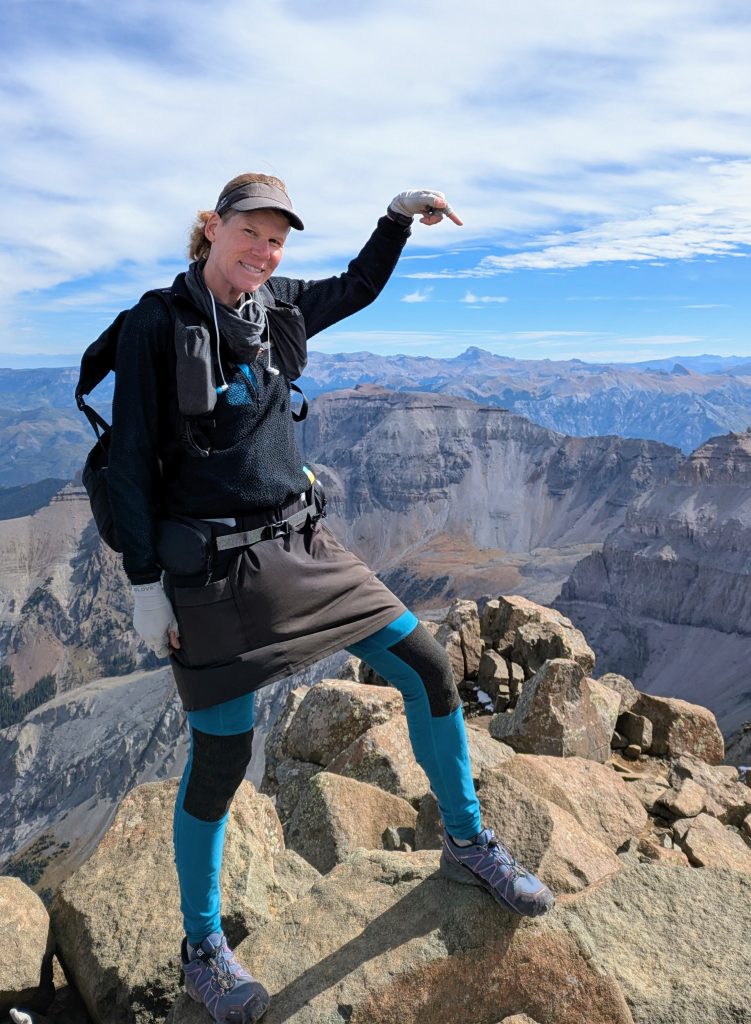
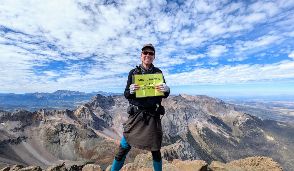

I retraced my steps back down the route and started walking the 4WD road, as my jeep buddies had long since departed. On the way, I caught up to the ladies that were helping the others down the crux. We started chatting and I learned that the lady in my picture had summited all the 14ers. What a rad chic! Their jeep was parked at the lower 4WD lot, so they offered me a ride the last 2 miles to my car. I was happy just to be able to talk to them some more. I drove back to Ouray for a late lunch, stopping to watch people navigating the local Via Ferrata…a built route using metal rungs, ladders, and cables. It immediately went on my list of things to do for the next time I visited Colorado. Ouray was a super cute little mountain town and I enjoyed strolling the streets after feeling so accomplished with all my hikes completed. I drove as far as Montrose on my way back, stopping at the local recreation center to take advantage of their Friday night pass special for $4, while I also charged my car for free. I enjoyed a soak in the hot tub and a shower…what a score. I may or may not have spent the night free-charging and sleeping in my car.
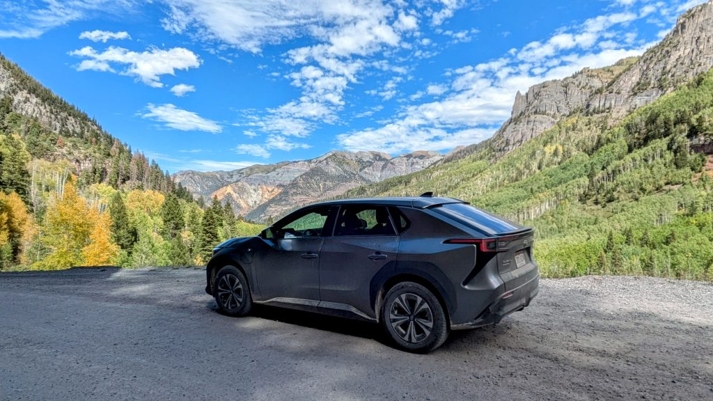
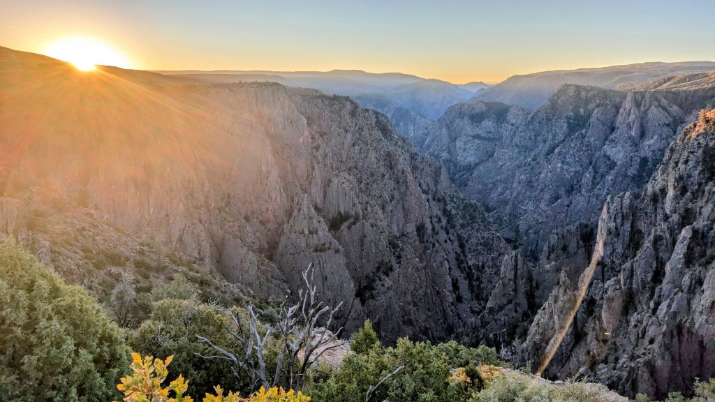
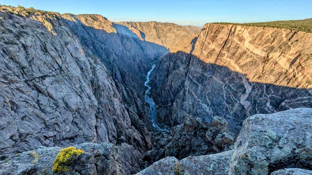
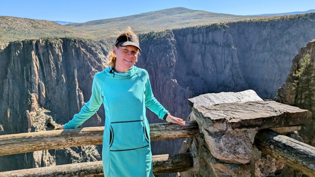
As a bonus, I stopped to check out the Black Canyon of the Gunnison National Park the next day…yet another famous Colorado landmark that I’d never been to. I watched the sunrise over the canyon and hiked about 4 miles on the various trails. Here are a few pictures from that side trip:
This was the last of my 16 peak series of September 2024. I’ve completed over 40 of the CO 14ers and am happy with that for now. I have 16 left: 9 Class 3: Maroon Peak, Snowmass, Crestone, Windom Peak (diff class 2), Mt Eolus, North Eolus, Wilson Peak, Mt Wilson, El Diente;
6 Class 4: North Maroon, Pyramid, Capital, Crestone Needle, Little Bear, Sunlight
1 Class 2: Culebra is an easy one, but you have to pay the local land owner $150 to hike it. If I manage to tag all the others, perhaps I’ll shell out for it. I guess this will be the easy one I save for last. I think it’s last on many people’s list.
Thanks for following along in my 14er adventures. I didn’t complete a single long distance thru-hike this summer, but instead did tons of epic shorter hikes. It was really fun to cap off the season with this series. I love my home state and can’t wait to be back.
