Tuesday Apr 27th, 2021, 0600-1900
Comanche Pass to Manzanita Mountains, Segment 37, mm 735
23.5 miles
I woke around 4 am with a pretty severe migraine. They hadn’t been too bad on this hike, so I wasn’t sure what triggered it. Perhaps too few calories and too much exertion. I took some of my medication but when my alarm went off, it felt like the migraine was worse. I realized that I must have taken a benadryl instead of the medicine I needed (both were mixed together in a small bag and oblong in shape, hard to differentiate in the dark). So not only was my head pounding, I felt groggy as well. I didn’t want to move but had no choice. I packed all my things out of sheer habit rather than will. Thank goodness I had my experience to kick in when my mental state was saying no! to hiking. This journey just seemed like it was out to get me in the end.
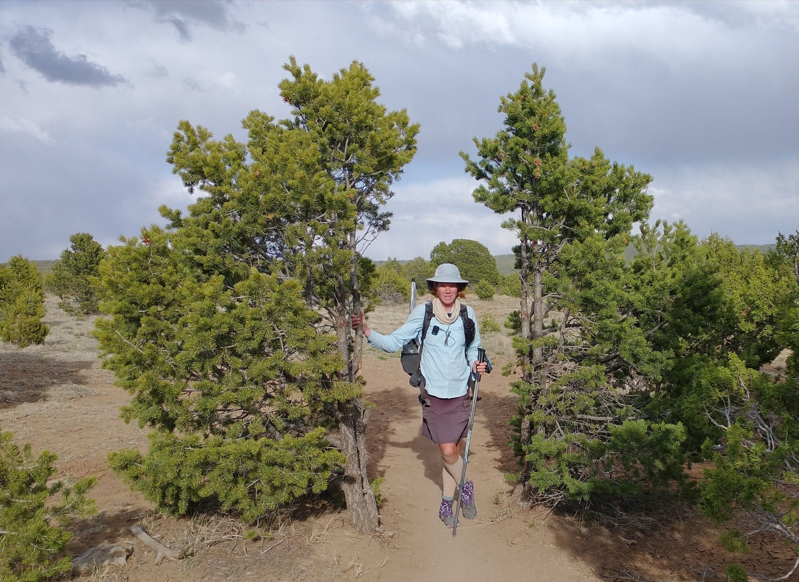
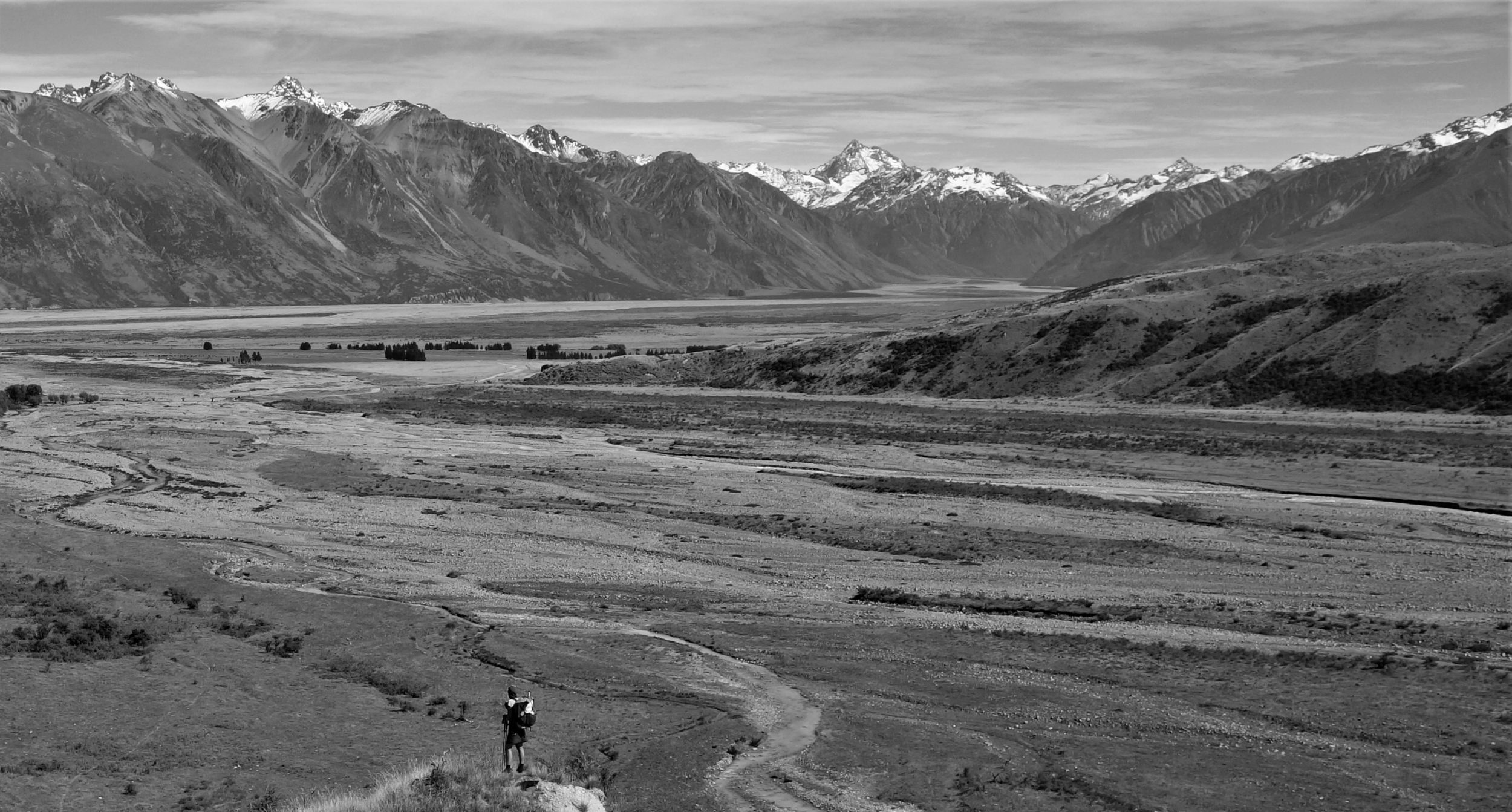
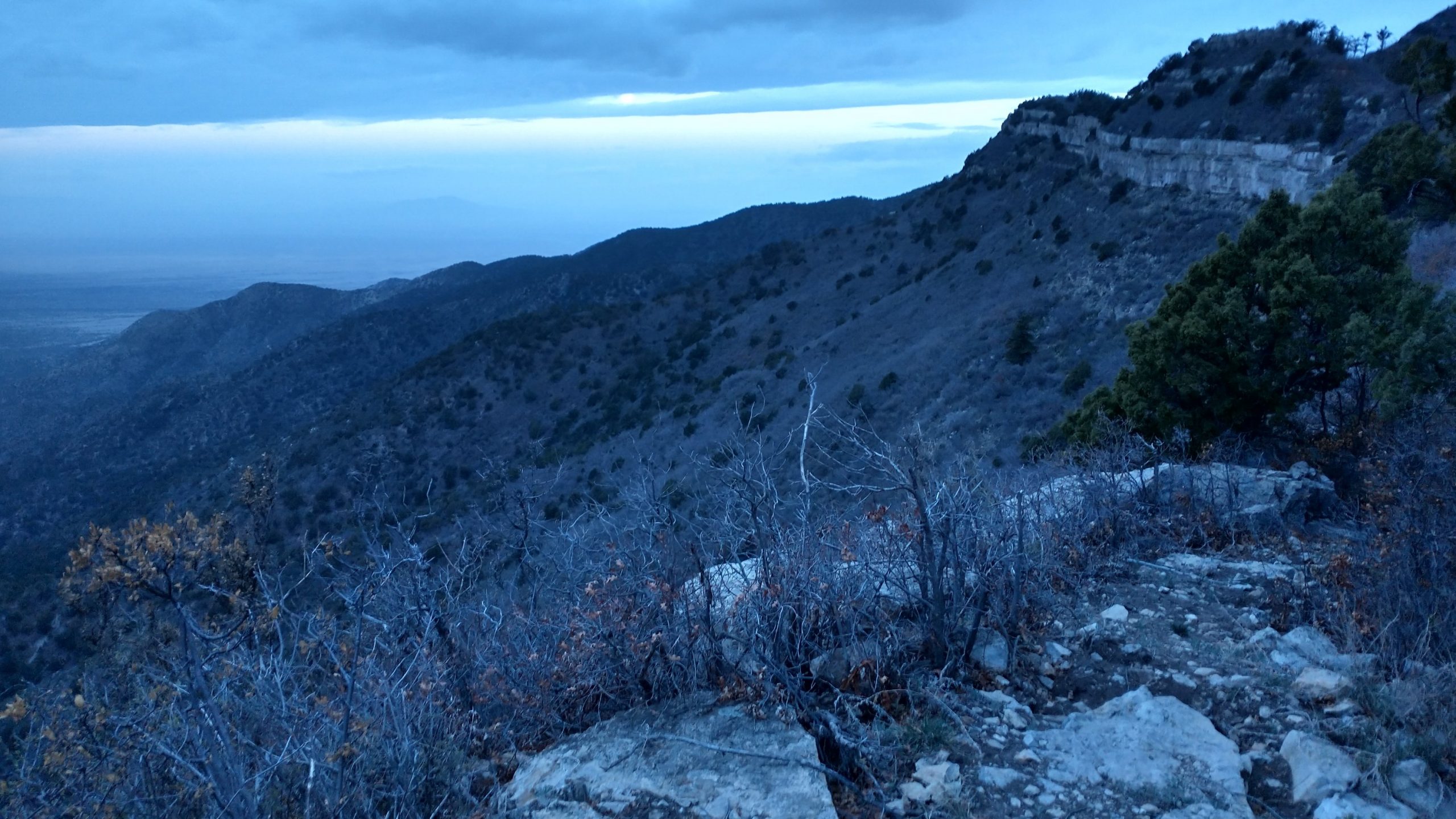
A 1200′ climb greeted me straight off the bat. I stopped to admire the views along a ridge where a rock reef ran horizontally to the peak. The western slopes of the Manzanos and Sandias were more dramatic than the eastern sides due to fault and uplift activity millions of years ago. The full moon was just beginning to come out from under the cloud layer. A front was moving through, with rain and snow expected in days to come. The conditions made for quite a dramatic look and I felt for an instant that the trail was sending me a peace offering. Minutes later, the nice trail disappeared under a tunnel of scrub oak. I was certain reports of horrible bushwhacking had been rendered obsolete due to recent trail maintenance, but I had been overly optimistic. About a mile of heavy scrub oak made for an unpleasant time. It wasn’t as bad as it could have been, since it wasn’t leafed-out yet. Lacking thorns, it was still scratchy by virtue of its stiff branches, so it drew some blood. I was very glad we hadn’t continued on the day before. I would have been very grumpy about encountering such overgrown trail at the end of an already long, hard day.
I pondered how such a good ridge trail with views for days could receive so little attention. If this range and trail were in Colorado, there would be tons of people backpacking it. New Mexico seemed to be in need some serious promotion of its hiking, backpacking, horse riding, and biking opportunities. Locals may like the lack of people but at the same time, the Forest Service didn’t seem to think it was worth maintaining the trails. Without some more interest, I worried that they might disappear altogether, and that would be a shame.
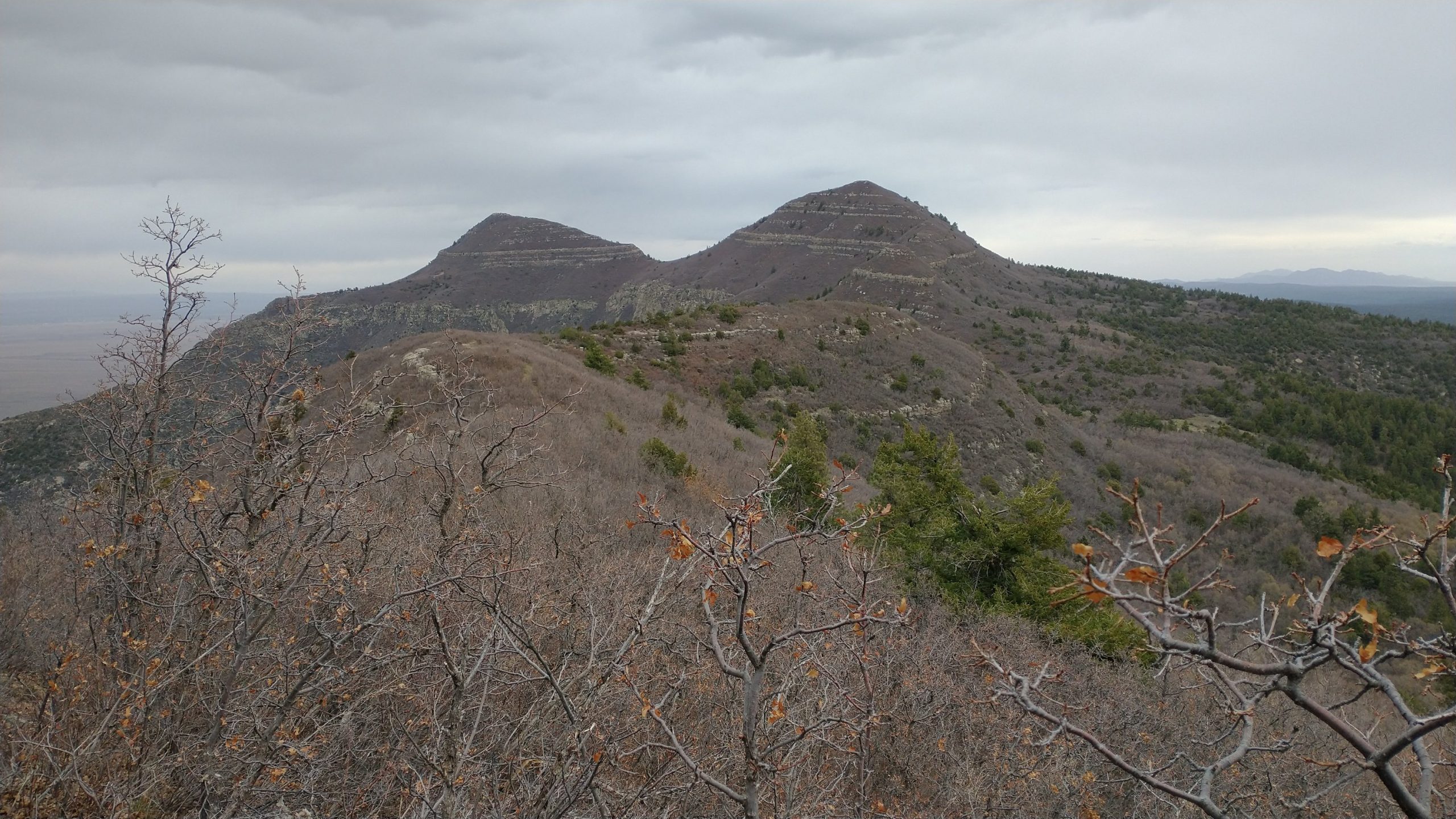
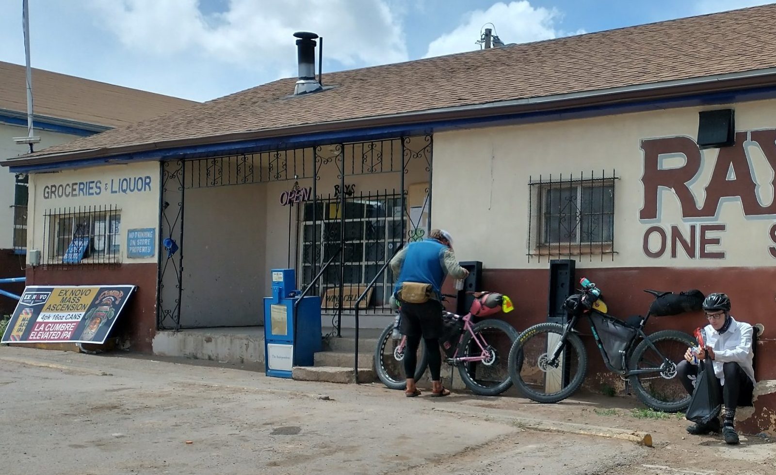
The ridge became wide and open at the top near Bosque Peak. There was still some dense scrub oak but only patches, not a tunnel like before. We traversed through several meadows following big cairns. Despite the cold wind and overcast sky, it was really beautiful and scenic up top. Too bad it was too cold to linger for long. We turned off on another trail leading down to a campground and out of the range. We passed a cement cistern spring but didn’t stop for water, since we both had plenty. Just as we left the trail, a few snowflakes fell. Minutes later, it was sunny on the dirt road. After 6 miles, we came to a small hamlet called Tajique. We stopped at the general store to get some lunch and re-evaluate our game plan. While there, 6 bikepackers rolled in and we had a pow-wow with our like-minded adventure friends. I’m pretty fascinated by the limitless opportunities of bikepacking/exploring dirt roads and can see myself doing such adventures in the near future. I have the camping gear, now just need a bike…small detail. Some of the bikepackers were from Alaska and one was from Denver, CO. They seemed equally interested in our mode of journeying.
As for our plans, this day was a good example of why it’s important to stay flexible. Often I went by the motto “I’ll see what time I get there and make new plans accordingly.” We made great time walking 15.6 miles to the general store but were facing an 18 mile road walk to the next location where we could legally camp/get water…too much for the remainder of the day. The GET used to follow quiet dirt roads and a bit of cross-country through the Manzanita foothills (the hills between the higher elevation Manzano and Sandia wilderness areas). But due to the close proximity to ABQ, the area had suffered from a lot of development in recent years, bringing about more issues with private property. It was reportedly not cool to follow the old route anymore, so the new route had been officially relegated to a series of nearby highways…also all surrounded by private property.
Since we didn’t have much of a choice to hitch a part or all of the highway walk to the next area where we could camp…either some state land on the side of the road or under a carport at a gas station… we just decided to hitch it all. In fact, why stop at the camp spots along the road when we could go just a little further to a deli, then walk to where the route rejoined singletrack trail, camping on BLM land away from the road. So that’s just what we did. It took us 2 easy rides, both from young guys with slightly beat up wagons. I’m pretty sure the second car was older than the driver, possibly older than me. Thus a 20 mile roadwalk, which would have taken us the better part of a day, was done in less than an hour. Did we miss out on much by not connecting our footsteps here? Maybe but I seriously doubt it. A few rain showers blew through and the wind was howling on the road. We also missed a long stretch of road construction that would have really sucked. It was being repaved, so smelling the fresh hot tar, not to mention the traffic and chaos from one side of the road being closed for miles…NO THANK YOU.
As I’ve said before, I try to walk all of the miles of my long-trails, even road walks, but there are a few times/locations where it just makes no sense. I’ve had wonderful experiences walking paved road sections (unexpected petting farms, having tea with locals that live along the road, etc) and I’ve also had some wonderful hitches getting to meet interesting people. I leave it up to the unique circumstances of each situation, such as time of day, how I’m feeling, where I’ll end up if I walk versus hitch, how good a shoulder the road has, how fast the cars are going, and so on. I try to only hitch paved highways with traffic. Hitching desolate dirt roads is not only feasibly difficult (no cars to get a ride with), but a slippery slope. The CDT and GET could both be whittled down to only a couple hundred miles if one were to skip most of the quiet dirt roads.
Truth be told, I needed few excuses to skip this road walk. Ever since our detour to Magdalena and getting sick in Socorro, the hike had felt pretty disjointed anyway. We hadn’t made it a priority to connect our footsteps from the very beginning (skipped road walk near Mammoth, AZ). It was something we agreed to beforehand. But I did feel that we maintained the spirit of the hike in going through all the difficult mountain ranges. We stuck to the red line in all of them, save for parts of the Pinaleños, due to snow and fire. We should have taken the alternate around the Mogollon Mountains, but persevered through even that horrible mess. So I at least felt I earned the credentials of this hike, despite some yellow-blazing.
We ended up at the little deli and convenience store called the Morning Star. We got a few snacks and subs for dinner, then walked another mile or so down the road to where the route rejoined some bike trails in the trees. It had been a pretty pleasant day, given our magical transportation through time and space, so ending on these nice trails further solidified the happy feeling. We were almost done, with seemingly pretty easy trail ahead. We walked until it got late, going further than we planned. Eventually we found some nice spots among the juniper.
Despite all our jockeying about, we still walked a full-mileage day. In reading the map again, I realized that we had only about 20 miles left. We planned to take the tram down from Sandia Peak, which eliminated the last 9 miles. The weather was forecasted to be crap the next day and we’d arranged a ride back to Phoenix for the day after, so our fast-forward meant that we had some time to kill.