Thursday, March 20th, 2025, 1400-1900
Stagecoach RV park to PCT water tank, mm75.5\PCT mm62.4. Elevation 4730′
13 miles.
I spent a leisurely morning at Mystic Canyon with Otzi and Barbara. Otzi and I left just before noon, stopping at a grocery store to buy some items. He’d been doing trail magic / hiker feeds at a campground near Mt Laguna, catering to PCT hikers. I contributed to his stock of supplies (beer and soda), and bought a few things for mine. I didn’t need much, because I anticipated finishing the route in 3.5 days. In fact, I hoped to be visiting Otzi’s Trail Magic in about a week, drinking some of the beverages I just bought. We drove to Julian and Otzi gave me a brief tour, since I’d never been there before.
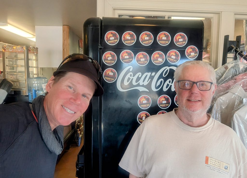
We went to the 2 Foot Adventures gear shop, where PCT hikers could sign up for rides back to the trail. I met 2 long-time Trail Angels there, Grumpy and Professor. Grumpy was the one stocking the cache at Scissors Crossing when I hiked by in 2018, so I finally got to thank him in person. Professor was just about to take some hikers to Scissors Crossing, so I joined him for the ride, alleviating Otzi from having to drive me any further. I said goodbye to everyone in the shop, anticipating that I’d be visiting again soon.
Professor drove me all the way to the Stagecoach RV park, where I bought us both lunch to thank him for the ride. Also, the 2 PCT hikers in his car were the first I’d gotten to talk to, so that was fun. I sat down briefly at the store to work out a plan for where I was going to make it to this day, given that I was getting such a late start. Luckily Professor clued me into a water tank on the PCT, which was exactly where the SDTCT crossed it. This saved me from carrying a ton of water away from Stagecoach and was the perfect distance to aim for at the end of the day.
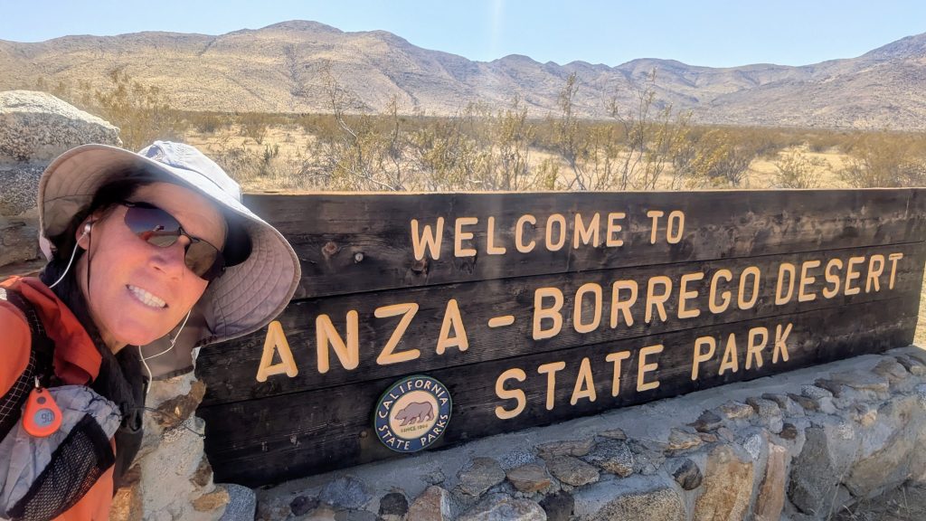
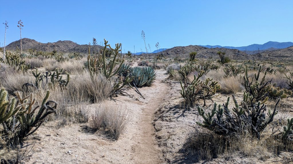
I finally set off, almost exactly 48 hours after I’d arrived. It was easy to cut back to the route following a dirt road, entering the Anzo-Borrego Desert State Park once again. It’s actually the largest state park in California, at over 640,000 acres. This is pretty significant, given that CA itself is such a giant state with so many natural resources. I followed the nice, flattish trail through the pretty lush desert, marveling at how the cholla, agave, and other cactus had perked up following the rain the week before. It was a beautiful landscape, so I enjoyed the afternoon very much. The trail eventually led into a wash and box canyon of sorts, which was cool to meander along in. Finally, the route left the small canyon to cross HWY S2, heading cross country for a spell to pick up the Mason Valley Truck Trail. Now I only had to follow this road for another 6 miles or so the rest of the day. Easy right? Except that it also went up nearly 2500 feet. Ugh.
Earlier, I noted some damage on the front end of Professor’s Subaru and asked him how it had happened. We were both amused to learn that this same truck trail that the route followed was the source of his misfortune. He’d tried to drive up it to drop off some PCT hikers the year before, and things had gone badly. The road, like many others in the area, had been scoured by storms over the past couple of years. His Subaru had high-centered on some of the large ruts, causing significant damage to his front end. Good thing I didn’t need a ride any further than Stagecoach! For me, tackling the wash-outs on foot was easy enough. But it was still a steep and rocky scramble in places. Also lucky for me, I was doing this big climb later in the day, so the temps had cooled off a bit.
About 2/3rds of the way up, the road improved significantly. I could tell that heavy machinery had been working to re-surface the road, which I benefited from greatly. Shortly, I passed a bobcat, stationed for the night at a switchback, clearly still in the middle of the process of improving the road. I wondered if things ever got dicey for the operators, given the steep grades. Like did these vehicles ever come close to rolling down the hill? I wouldn’t want that job. The road leveled off for a bit onto a plateau and I could finally see the last switchback heading to where the water tank was. There were a series of other jeep roads here, some which might have been a shortcut, but thankfully I knew where the water was and headed straight for it.
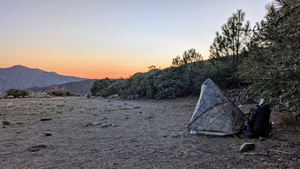
I reached the top just in time to enjoy the fading light across the valley, collect water and pitch my tent nearby. I was surprised that there weren’t any PCT hikers camping there and I didn’t see anybody pass by, either. The water tank appeared to be manually filled, probably by trucking it in. There was a large spigot, which shot out water like a fire hydrant when I cranked the valve open. I backed it off to just a crack, allowing the water to trickle into my container. The tank could be quickly drained if one wasn’t careful to shut the valve completely. I didn’t recall it being an option in 2018, so I guess it did go dry from time to time.
The wind had picked up significantly as I climbed Oriflamme canyon, so I was relieved that the geography of the nearby hill offered a decent wind break. I pitched off to the side of the road, which always makes me nervous, but it was the only option. I hadn’t seen any vehicles all day, other than the stationary bobcat, so I hoped it was safe.
Just as it got dark, I heard wolves howling. Had I not just spent 2 days with Otzi, I would have been very perplexed by this. But during his tour of the area, he’d taken me up the hill from a campground to point out the neighboring wolf sanctuary. I checked my map to see that it was only a few miles away. It was a nice way to end the day, hearing their mystical calls.