September 25th, 2018
Muir Pass mm 838.5 to Lake Marjorie mm 809
Distance: 29.5 miles
0550 – 1900
Today I only did one pass, but it was the most difficult thus far. I was really feeling the drain from big miles and not enough to eat. Since I came up a bit short in miles the day before, I would need to do at least 30 this day and 27 the next in order to get out to the trailhead and hitch into town. I didn’t have much of a choice, as I was running really low on food. I divided my remaining supplies into two piles and it was depressing. There was nothing to spare for even a 3rd day breakfast.
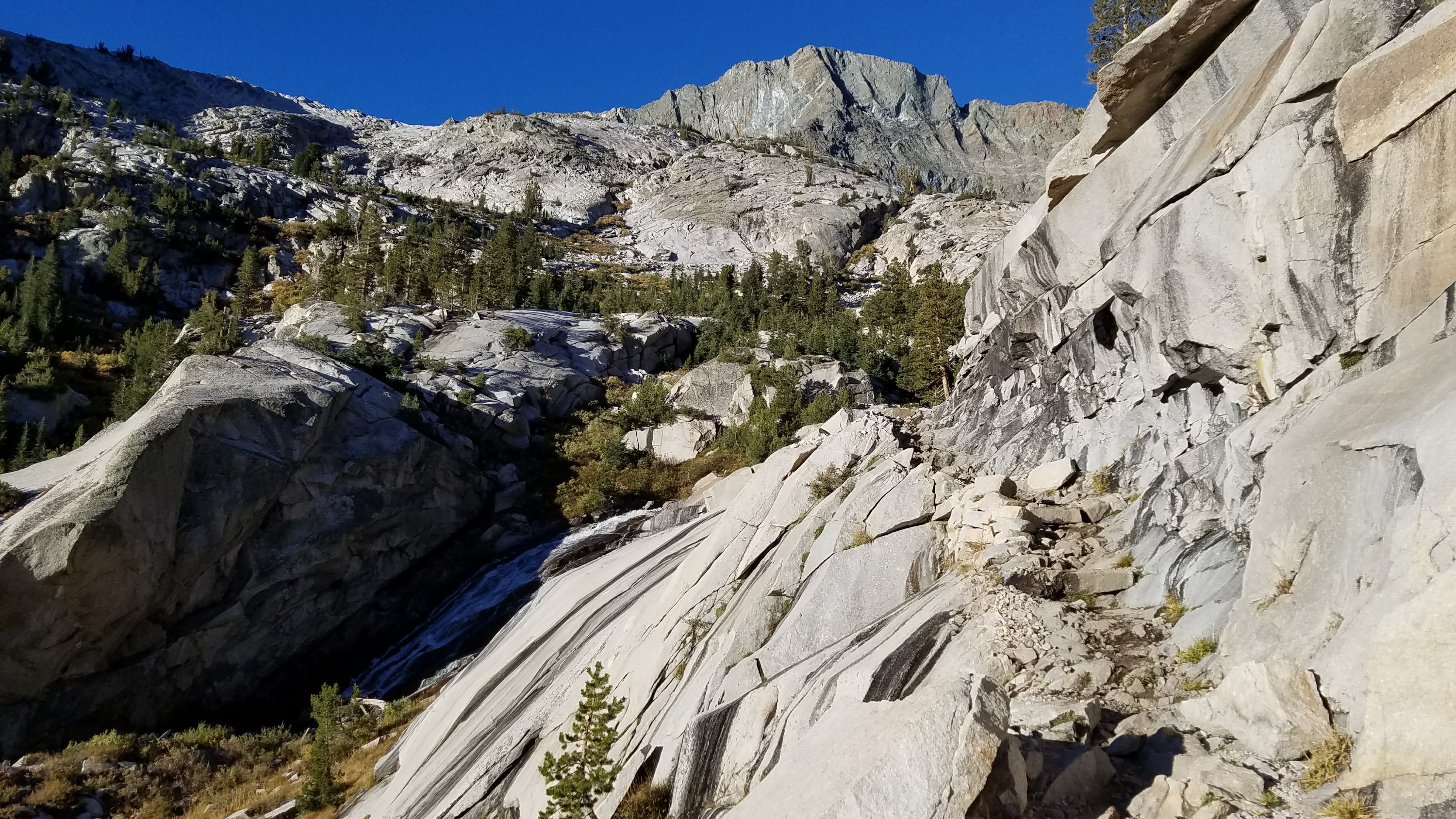
I got an early start. It was still dark but with the moon up, I didn’t even need my headlamp. I traveled down a very rocky canyon. In places, the trail was cut into the cliffs.
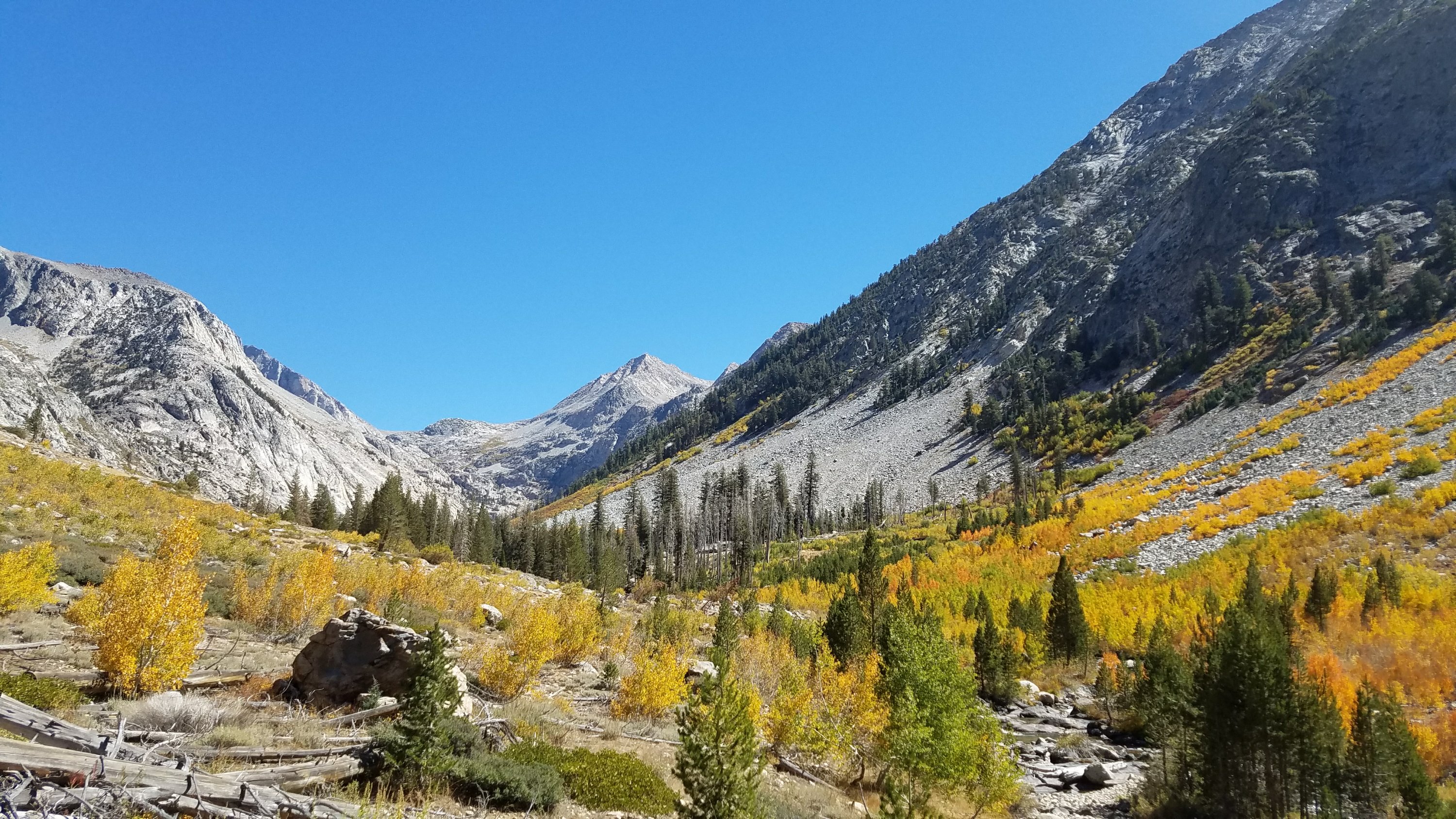
We passed a guy that looked familiar and then another that I immediately recognized. It was a father and son duo that I first met in Oregon, outside of Bend. The reason I remembered them is because the father, Al, was in his 80’s and hiking the PCT for the 3rd time! He was a triple crowner and perhaps the oldest person to be hiking this year. They had to skip past the Sierra early on and had come back to finish. How inspirational to see them again!
I also stopped to talk to a tall man with a most impressively long beard…his name was Beardoh. He had thru-hiked a lot, including the PCT, and had some good tips on nutrition. His blog is at Longdistancehiker.com. I mentioned how I was low on food and he kindly gave me a bar. That was profound, since he had his calorie intake dialed in so tightly that he didn’t really have anything to spare. It was a most generous move and greatly appreciated.
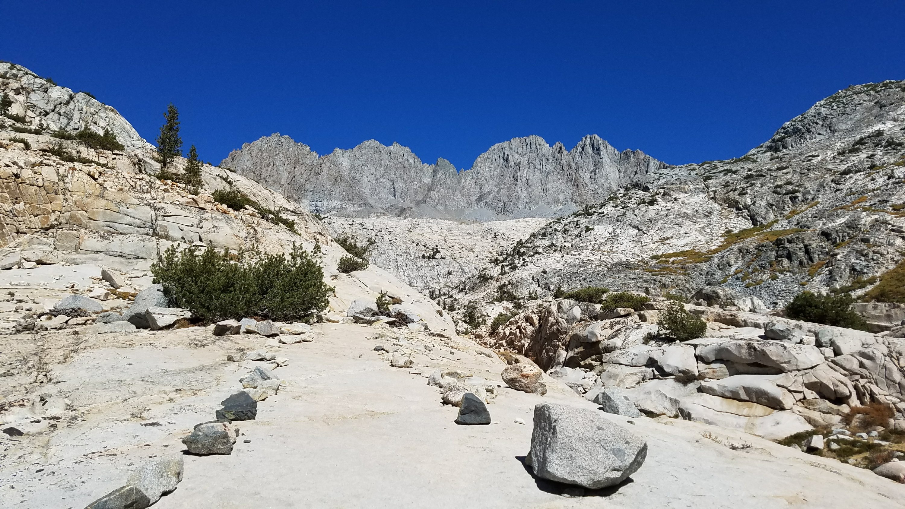
I made it to the bottom of the valley and then immediately started climbing the next pass for 10 miles. That’s how it goes in the Sierra. Down 4000′ and then up again. This climb really took it out of me and was my least favorite so far. It was relentlessly steep, with many short switchbacks and rock steps. I was feeling exhausted. The final ascent went up a huge rock face. I could see the pass a long ways off but could not see the trail. All I kept thinking was “I got to go up that?!!!”
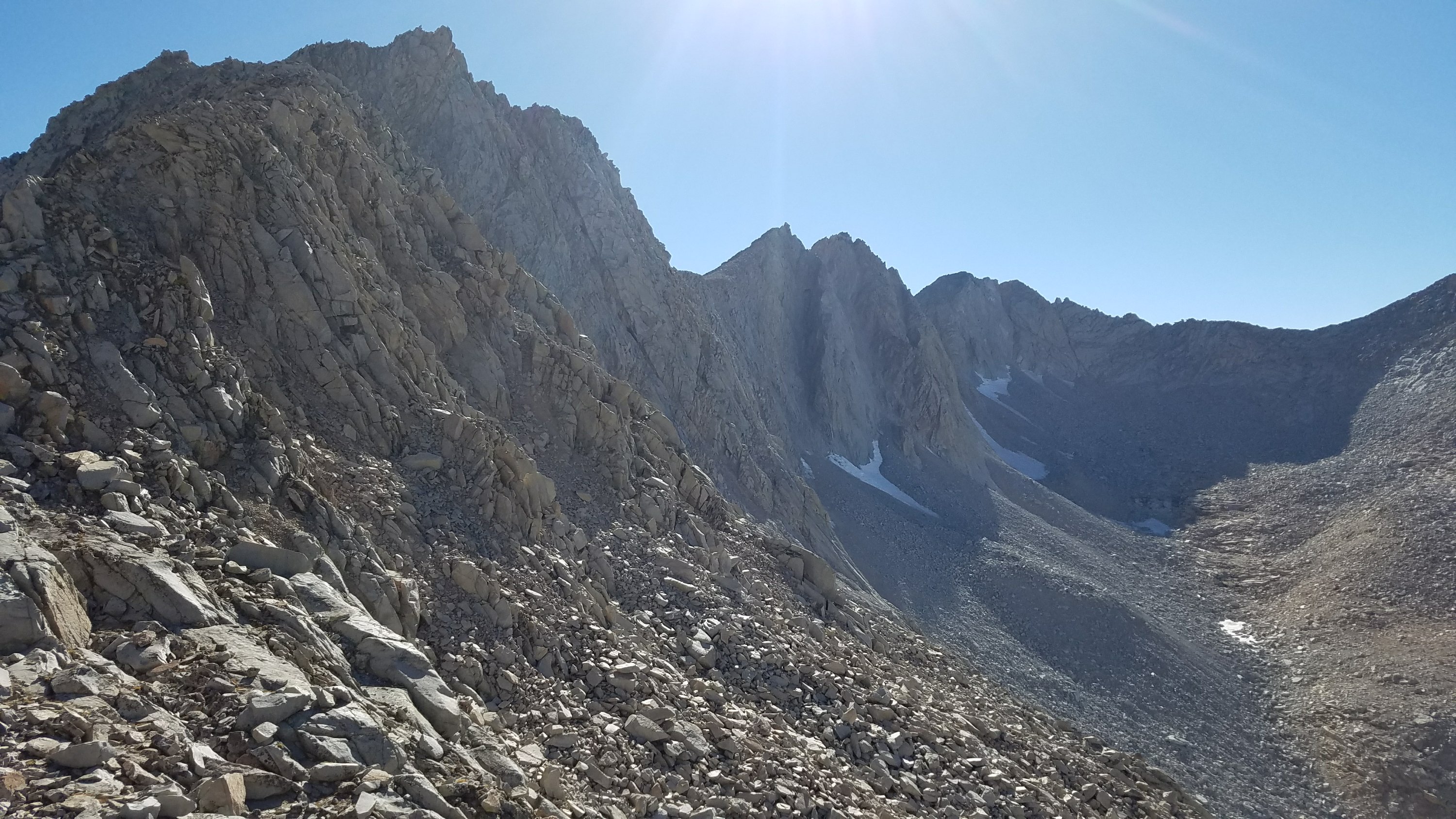
It was already 4 pm by the time I made it to the top, and I still had 7 miles and more climbing to go to make my 30 mile mark. I didn’t think it would happen. On the switchbacks down, I ran into two SOBOs, Tink and Gentleman, that had flipped to the south end of the Sierra in order to go north and get the highest passes done first. This plan kind of backfired on them though, since they didn’t build up to the altitude and got altitude sickness. They had to skip climbing Mt Whitney because of it.
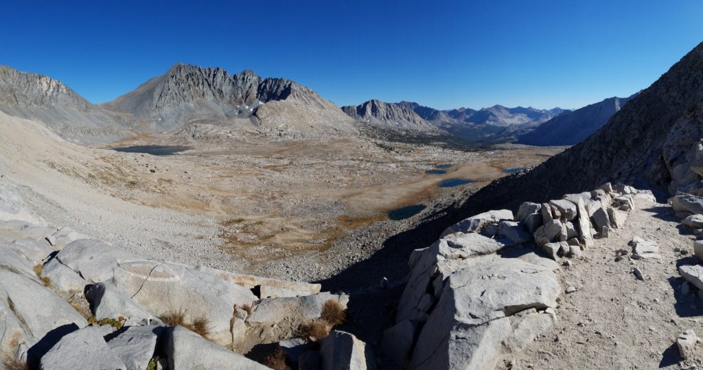
I literally ran down the other side of Mather Pass and covered 5 miles in around an hour. It was more of a gradual descent and super smooth trail…a welcomed break from the rocky stuff that makes it impossible to go fast, even when going down.
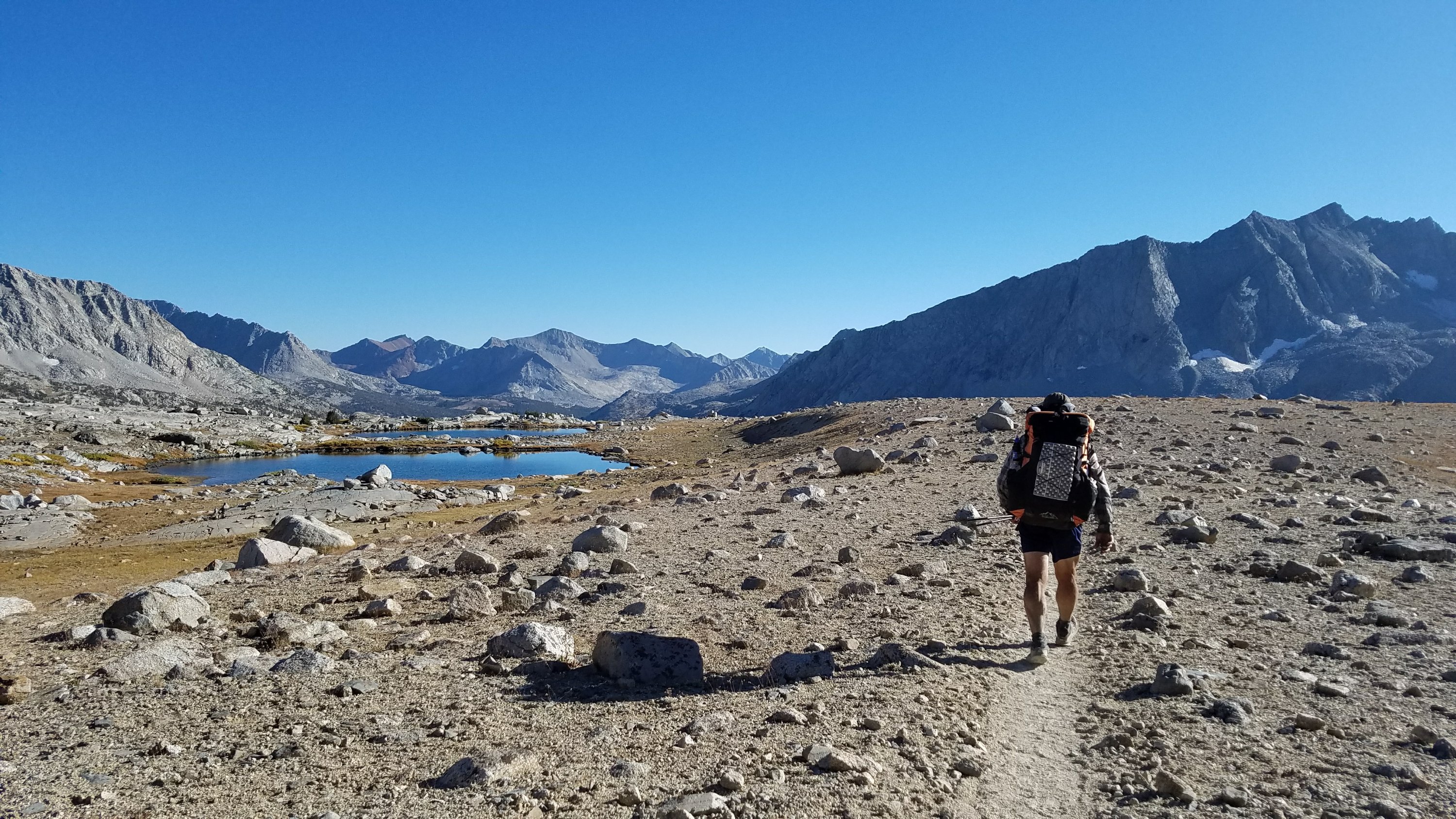
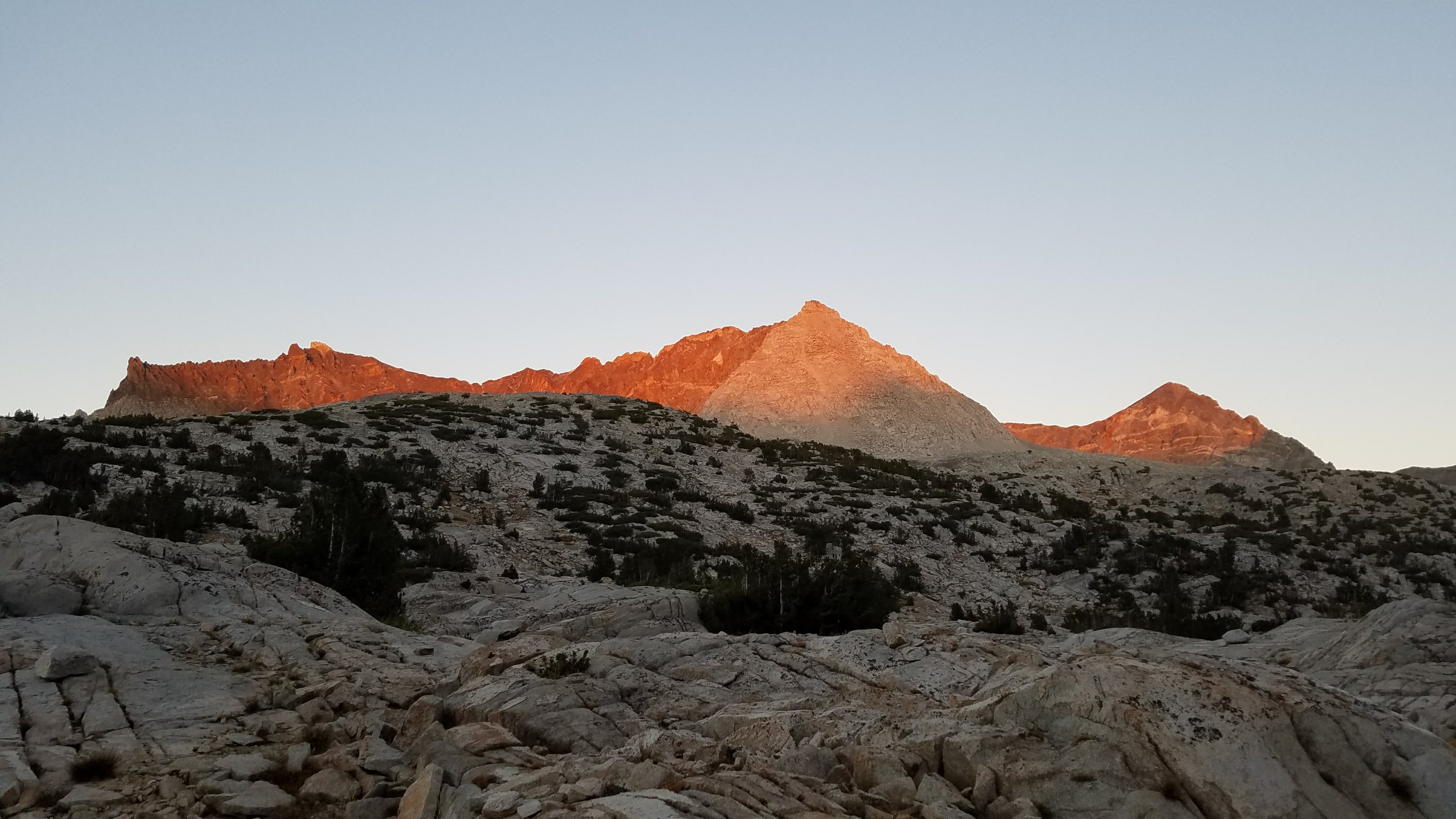
Suddenly it appeared as though I would meet my goal. I prepared myself mentally for one more 1000′ climb and somehow found the energy reserves. I made it to my planned lake just as it was getting dark and scored a flat spot just big enough.
For dinner, I had a mystery meal from the hiker box in Tuolumne, which turned out to be quite filling. I’m still not certain what it was but it had a Parmesan powder base. I didn’t need to add tuna, which left me something extra for lunch the next day. You take the small wins where you can get them. I went to bed feeling pretty good about my prospects of making it to town the next day and eating ALL THE FOOD!

As usual the pictures are beautiful and the commentary great – perhaps we can talk you into going back to Washington after you get to the Mexican border?