Wednesday, May 8th, 2024, 0700-1950
Sandy Gap to North River rd, mm 166
27 miles, Gain: 6850′, Loss: 5130′, elevation 4275′
This was another day I went the whole day without seeing any people. Who knew there were still such isolated parts on the east coast? Travel a day on the BMT and you will experience some remoteness and isolation, I can almost guarantee it.
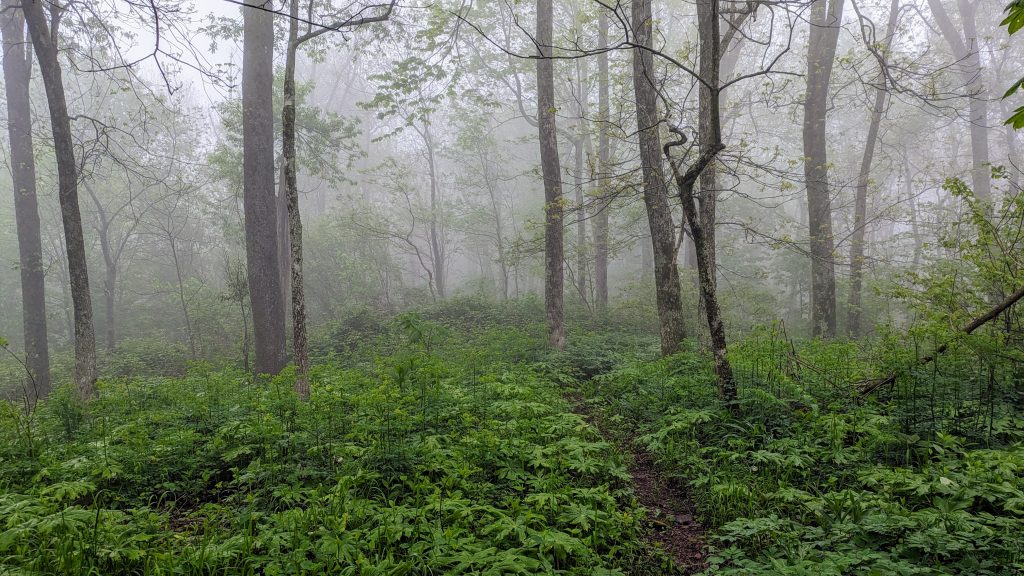
It sprinkled just a little overnight but my tent was dry in the morning. After hiking just a mile further to another campsite, I was glad I didn’t push on the day before. The site was immersed in fog and dripping wet. The fog persisted through the morning and the trail became somewhat of a car wash. Going over Round Top and then Rocky Top at over 4k’, there were some of the most overgrown sections yet. It felt like the Pacific Northwest in places, complete with brambles and hip-high large-leafed plants that looked like rhubarb. Talk about a green tunnel…more like a green curtain, brush and/or scrubbers. There were some blowdowns too, completing the section’s feel of very wild and unruly. All my efforts at climbing yet another mountain top were for naught…no views through the trees or fog. But I did pass the halfway point of the trail, so that was something I guess.

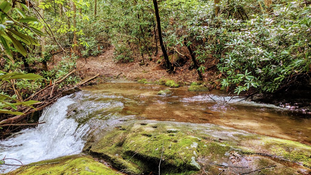
I started a long descent into a lush valley, with a plethora of creek crossing. Since my shoes were already soaked from walking through the overgrowth, it was an easy matter just to plow through the crossings, saving time and effort. I could see where some could be pretty challenging after heavy rains (as in the very next day). I found a nice AT-printed buff at one, freshly dropped by a hiker. I suspected it belonged to Jess or Jekyl, so I picked it up and stashed it in a pocket.

I began an ascent to another ridge, following along yet another creek, when I turned a corner to see a hog standing less than 10 feet in front of me. The roaring creek was drowning out all other noises, so it didn’t hear me coming, nor I it. It immediately went on the defensive, hackles raised, snorting, and beginning a charge. I reacted by sticking out my poles and taking quick steps backwards while still facing it. As soon as it saw I was backing up, it stopped the charge but was still very disturbed. I could see the bushes shaking behind it, and knew there was a litter of piglets running away. The scene had all the factors one wants to avoid…no surprises, babies, and being cornered or trapped. I backed up some more and made as much noise as I could. After a minute, I tested the waters but nope, the hog was still standing its ground, grunting. More minutes passed…I really wanted to get away from them but needed to first go past. Finally they all disappeared into the bushes and I skirted by quickly. I’d never had a close hog encounter before and I hoped to never again. It was pretty scary.
I had lunch at the top of the ridge, where it started to sprinkle a little. Maybe the rain was coming earlier than forecasted again. But I was able to get a signal to check the radar, and it didn’t look too bad. There were multiple warnings in effect for the night though…severe thunderstorms, flooding, and a tornado watch…great. I started weighing my options, trying to figure out the best place to camp for the night. I wanted to make as many miles as possible so that I’d have less to go to the Tapoco Lodge the next day (so I could dry out or take shelter, if need be). I decided to press on all the way past the top of Whigg Bald, at a height of 4945′. I saw that there was a bridge along the Cherohala Skyway and I wondered if I could camp underneath it. It was a long ways off still, so I needed to get a move on.
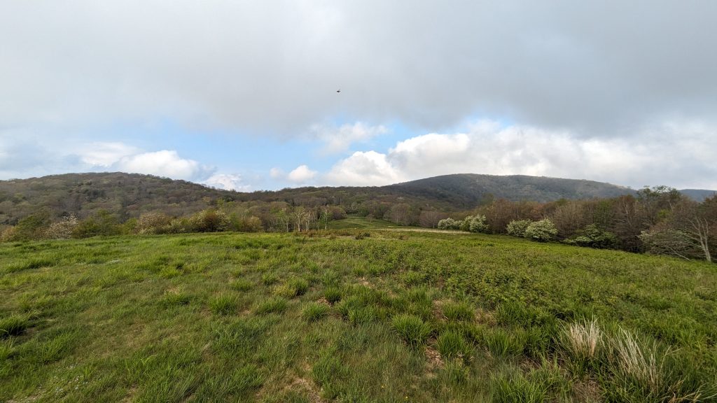
I descended into another valley and crossed the Tellico river on a bridge leading to a fish hatchery. Then I was climbing again, but at a gentle grade on an old road that went up Sycamore creek. I arrived at the last campsite along the creek around 5 pm, my last chance to camp at a lower elevation for the night. I was a little tired but it was still too early to stop. I made it up to the bald by 6:30 pm and explored around for awhile. It was beautiful there and I thought hard about setting up my tent in a smaller bald area, under a large tree. I checked the weather forecast again and it looked pretty grim, so I thought better about risking it, being so high and exposed.

It was getting late, I needed to get water, I was tired, and the weather was starting to turn. I went hurriedly down the trail, found some water (it was everywhere, really), and desperately searched for a protected campsite. I passed Mud Gap parking lot and noted a jeep there. I didn’t want to camp near a possible weirdo, but later realized it was Jess and Jekyl’s jeep…harmless. At last I came to the bridge over a dirt road, but it was immediately obvious that I couldn’t camp under the bridge. A motorcycle had just passed by on the dirt road and I would surely get run over. However, on a whim, I followed a grown-over road up the berm next to the bridge and found a miraculous flat spot under a spruce, surrounded by rhododendron. The wall of the raised parkway provided the perfect shield from the wind, just not the rain. I set up on lots of leaf litter with the slightest slope, hoping for good drainage. There was surprise gravesite nearby, which I took as a good omen, not a bad one. I got settled in for the night, just as it began to sprinkle. There were many distant flashes once it got dark. Oh boy, it was going to be a night! I could just tell.
