Saturday, May 4th, 2024, 0510-1800
Indian Rock Shelter to Lost Cove Camp, mm 78.4
31 miles, Gain: 6230′, Loss: 5020′, elevation 2980′
What should have been a really nice night in the shelter wasn’t so much. We all went to bed early and the drum of the rain lulled me to sleep quickly. It rained really hard for awhile and I was so glad to be under a roof. But I woke to some noises around 2 pm. One was someone’s water bottle tipping over. I sat up to check on things and noticed that there was water on my quilt. Upon further investigation, it was all under my pad and ground tarp. I thought the water bottle must have spilled, but then realized that there was a leak from the roof, near the corner. I did my best to mop up the water and then was very grumpy that I still managed to get wet in a shelter. I also had to go out in the rain to pee. After this, I slept fitfully because I was worried about more water leaking in and because I could hear people partying at one of the nearby cabins.
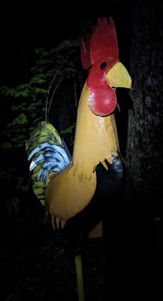
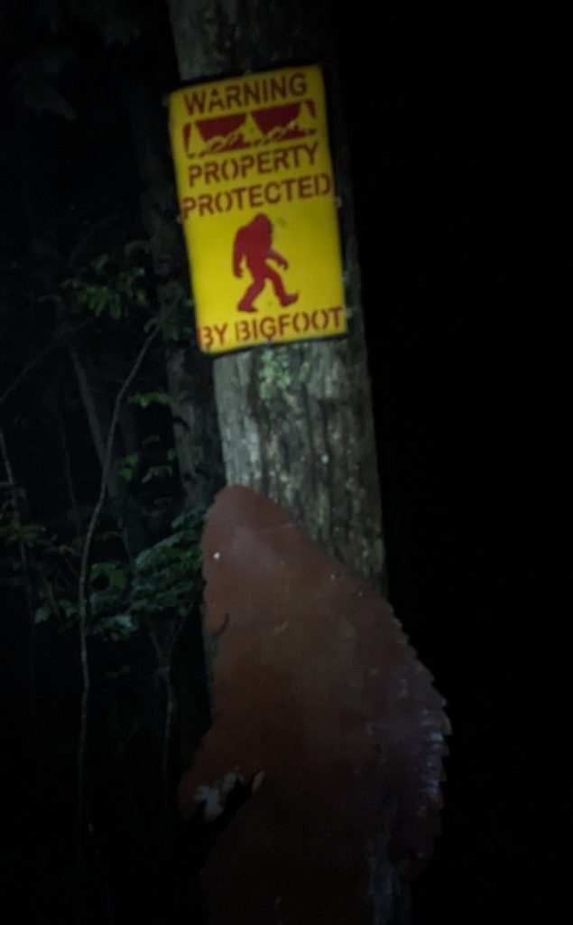
An alarm went off at 4 am and I was ready to get moving, seeing as how my spot was damp and the party up the hill was still going. The best way to be forced out of a shelter into the rain is to experience factors more annoying than the rain. We all left a little after 5 am, when at least the rain had let up. I expected a tough time navigating the maze of roads, connector trails, private property and whatever else might crop up. Between the darkness and fog, it was a challenge to find my way but a fun one. There were even a few surprise appearances by random and strange figures. Mostly I relied on the BMT’s diamond hash marks, some of which reflected my headlamp beam well. The night before, I’d described to Scuba Steve how many of the trails I’d hiked had no markers whatsoever. He couldn’t even imagine how that was a thing.
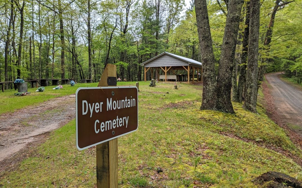
Dawn began to break once I got to another road walk of about 3 miles. I was grateful to turn my mind off for a bit and watched turkeys and deer bouncing around in the fields, surprised by my early passing on foot. The rain resumed when I reached a trailhead and began climbing back into the mountains. As Dr Pepper had said earlier at the shelter, it was a good day to be a duck. It was also a good day to be the proud owner and user of a trekking umbrella. It rained all morning and well past noon, and I just trudged along through the green tunnel, perfectly comfortable wearing only my dress. It would have been too hot for rain gear. 18 miles passed by in a flash, with several nondescript waypoints sliding by on the ridges… Bear Den Mountain, Fowler mountain, Double Hogpen Gap and Flat Top Mountain.The trail ceased its westerly trend and finally started heading north towards Tennessee. I made it to FS 64 just as the rain let up and it was time for lunch. I read comments about a nearby cemetery with a pavilion, which was just the ticket for if I needed to escape the rain some more. I entertained the idea of staying overnight there, but it was too early in the day and I didn’t really want to camp in a cemetery.
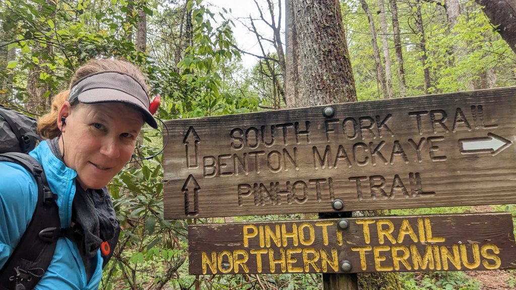
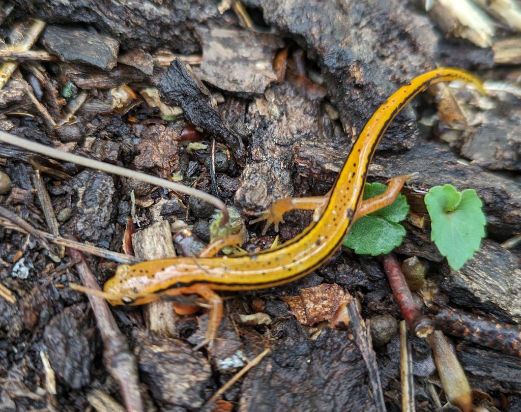
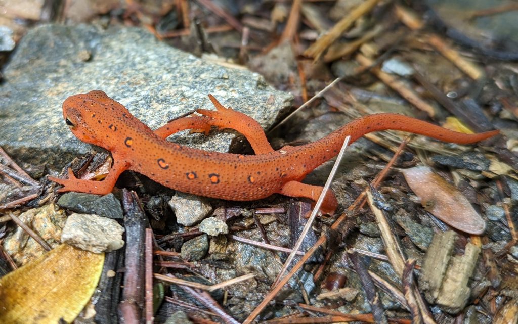
I pressed on, down into a valley, coming to the junction with the northern terminus of Pinhoti Trail. Like it or not, all thru-hikers of the Pinhoti trail have to hike a little of the BMT to reach a road, either at Watson Gap or FS 64. The Pinhoti ends/begins kind of in the middle of nowhere. This area felt pretty remote and wild. All day I’d been hiking through the Cohutta mountain range and other than at the road crossings, I didn’t see a single person. But I did see several salamanders and frogs, plus a few deer and signs of hogs.
At the end of the day, I pressed on well past where I’d planned to camp at Mill creek. The campsite there felt a little claustrophobic and wet right next to the creek. It was another 3 miles to a campsite on the ridge, but it was well worth the effort. The site had some pines around it and was fairly dry, with a spongy flat spot and log to sit on. The sun even came out a bit and I enjoyed a quiet and lovely evening. I did note that the distances were very off in this section. I tracked the entire day with my Garmin GPS watch for comparison. The distances along the first 5 miles of the private property section and road walk were spot on, but then were off by 5 miles over the course of the rest of the day. The Far Out app tracked 26 miles for the whole day but my watch said 31! That’s a pretty huge discrepancy and I can honestly say, it felt like an over 30 mile day for sure, especially given my very early start!