We spent a day in Jackson Hole hanging out with other hikers and getting a taste of the town. First we made a visit to REI and Safeway for some provisions. My shoes were pretty shot, but instead of getting new ones (which I couldn’t anyway because no store carries Altra Superiors), I got Superfeet inserts. These actually did the trick in giving me a little more support and cushioning for the remainder of the summer.
We met several CDT hikers at the Safeway, then got a ride over to the rec center. We’d determined the cheapest way to enjoy quality time in town was to buy a day pass for $15. So we spent the afternoon taking showers, hanging out in the hot tub, and playing on the waterslide and bouncy obstacle course…it took me 4 tries to finally complete the course. Alan joined us, then Tigger. Pro-tip, this is how dirt bags get cleaned up in a town where it’s $160 for a bunk in the hostel.

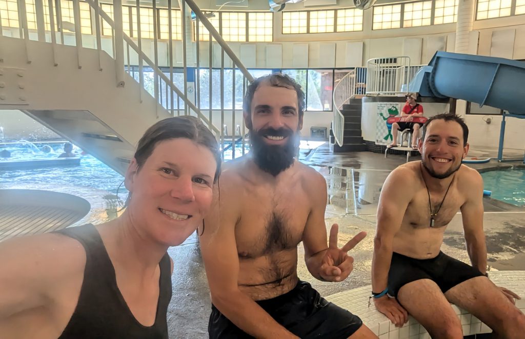

We went to a restaurant for dinner, then deliberated on where to stay for the night. Luckily Tigger had a borrowed truck, so we were able to drive to a nearby trailhead and hike a short ways onto public land. The guys all cowboy camped, but I set up my small, discrete tent. We arrived just as it was getting dark, then left early the next morning, leaving no trace as always. It’s not easy stealth camping in the vicinity of such a glitzy and affluent town, but it can be done.
Gros Ventre Day 1, Saturday Aug 3rd, Granite Creek Hot Springs, up Shoal Falls Trail to Upper Shoal creek trail, 7 miles. The next day, Tigger offered to drive Strider and I out to Granite Falls, to begin our hike through the Gros Ventre from there. Alan was trying to connect his steps, so he walked a longer route straight from Jackson Hole. To connect back to the CDT at the Green River, just north of the Wind River Range, we’d downloaded a version of the CDT alternate from another hiker’s website. Given the spontaneity of our plans, we didn’t look over the route very carefully, figuring it followed some straightforward trails…more on this later.
We hung out with Tigger at an undeveloped hot pool near Granite Falls for a few hours (we were too cheap to pay the entrance to the developed hot springs). We had to cross the river to get to the hot pool, but the backdrop of the falls was very nice. In the late afternoon, Strider and I set off on our route. The trails were easy to follow and we figured it would be a pretty easy couple of days to get to the Green River. Mostly we were just killing some time, since Woody and Alex were planning to join us in another 5 days for the Wind River High Route.
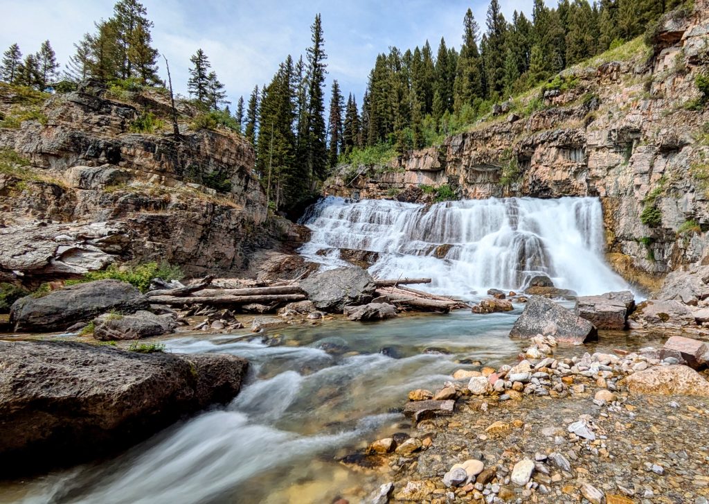
Gros Ventre Day 2, Aug 4th. Route description: past shoal lake, then around Steamboat mountain, SE to Palmer Peak pass, up cliff band to north side of Doubletop Peak, south of Triangle Peak, over several more saddles, down to Tosi lake and Tosi Creek trail…about 18 miles. Strider mused in the morning that it looked like we’d be doing a lot of off-trail travel…about 10 miles or more. Normally I pay much better attention to such details, but approached this day with the attitude that we’d figure it out, no problem, no big deal.
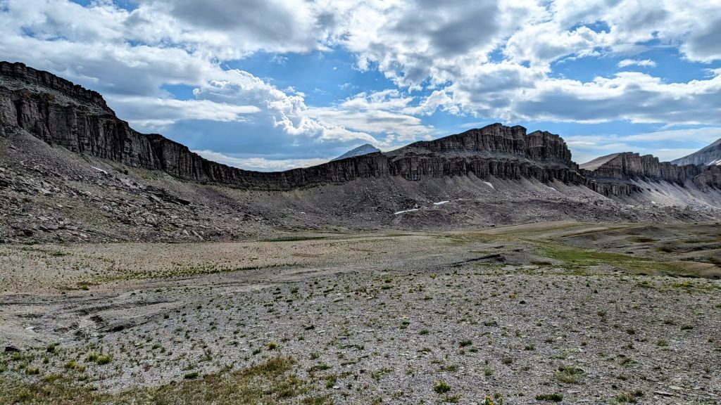
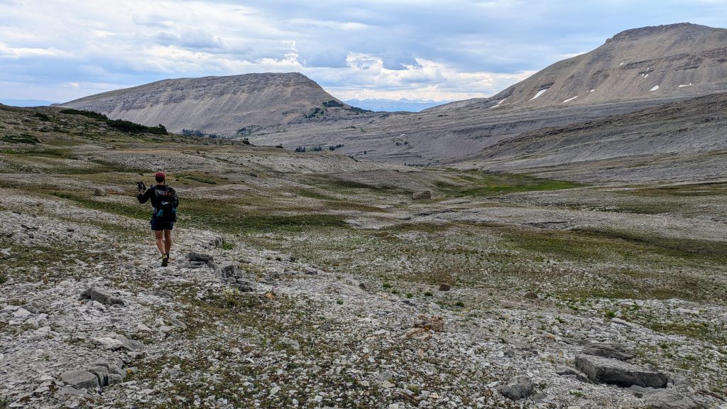
The day started off pretty chill. We continued following the nice trail and passed 1 guy near the lake, who was the last person we’d see all day. The trail went one way at the top of a pass, but our route had us going east, so we set off cross-country over very easy, wide open terrain. The scenery was memorizing, with a huge valley to the north of us and the outlines of massive bluffs all around, similar to the Jedediah Smith Wilderness we traversed in the days before. Without trying, we’d opted for a high route through this range, which meant we’d be traveling above treeline for most of the day. The weather was perfect in the morning, with just some high cloud cover, but by noon, we could tell some thunderstorms were on the way. This served as a good introduction to the route finding challenges and weather patterns we’d later encounter in the Winds.
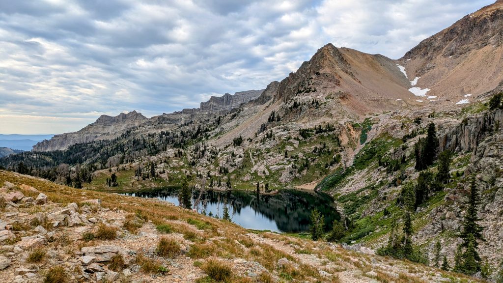
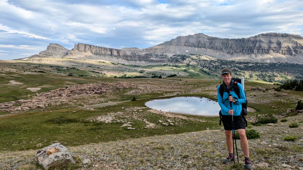
We walked through nice, soft tundra into increasingly rocky terrain. Navigation was easy, since we could see for miles. After an hour, we came over a pass and I scouted the route forward, matching the line I was viewing on the map to the terrain in 3D. The GPX line appeared to go over another small pass but all I saw was a terrifying cliff band in front of us. Strider and I both exclaimed in disbelief…”We’re supposed to go over that!???” Clearly we should have read more about this route.
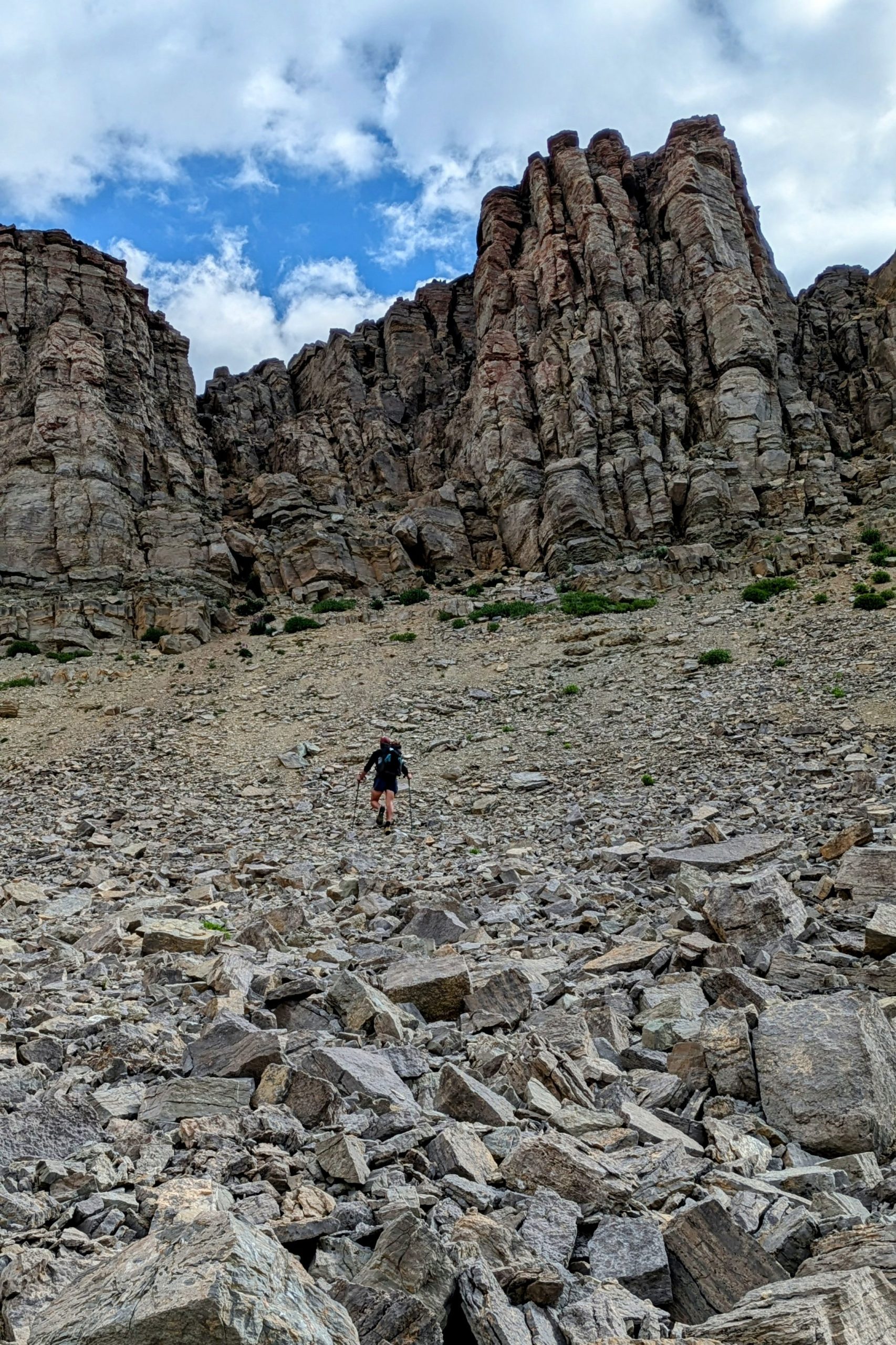
We moved forward anyway, dedicated to at least looking at the cliff band more closely before deciding whether to attempt it. At its base, we pondered a few weaknesses that looked like they might work. Strider scrambled up the scree field while I hesitated with trepidation. Just the scree field was incredibly steep. He tried one of the cracks, then retreated to another one. I followed him up, feeling more and more trapped by the situation. Sometimes, it becomes too difficult to turn back but also too difficult to keep going up. The rock was so incredibly crumbly that I pulled off a large chunk that I was counting on as a handhold and nearly took a tumble. Somehow we managed to scramble up the crack but it’s still the most sketchy thing I’d ever done up to this point, including all the silly stuff on the Hayduke. Ugh, it was scary.
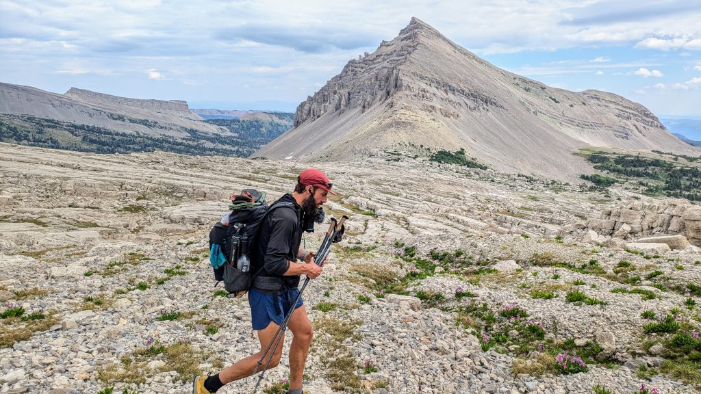
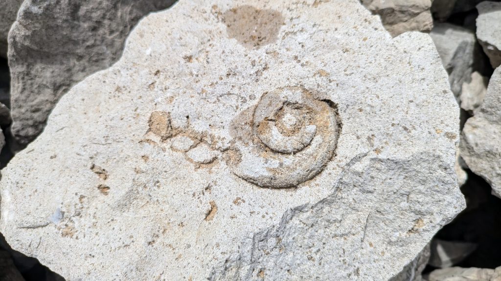
Looking back, I’m not sure why we kept going and didn’t just try to find another way around…we had plenty of food to go back to where we’d left the trail. But at least once we got past the cliff, the rest of the day was pretty cool….not easy but definitely worth the views and solitude. We had to navigate through fractured rock all afternoon, some of which was like I’d never seen before. A lot of it looked like ancient coral and the fossils in this section were awesome. It was also fun route-finding, trying to make sense of the convoluted landscape. We sidled around several peaks and rock bands, over a couple more passes, and finally down towards Tosi lake. Strider was all but running to the lake because of a small thunderstorm that was hot on our heels, dousing us with a few minutes of rain. Thankfully it quickly passed and wasn’t all that threatening.
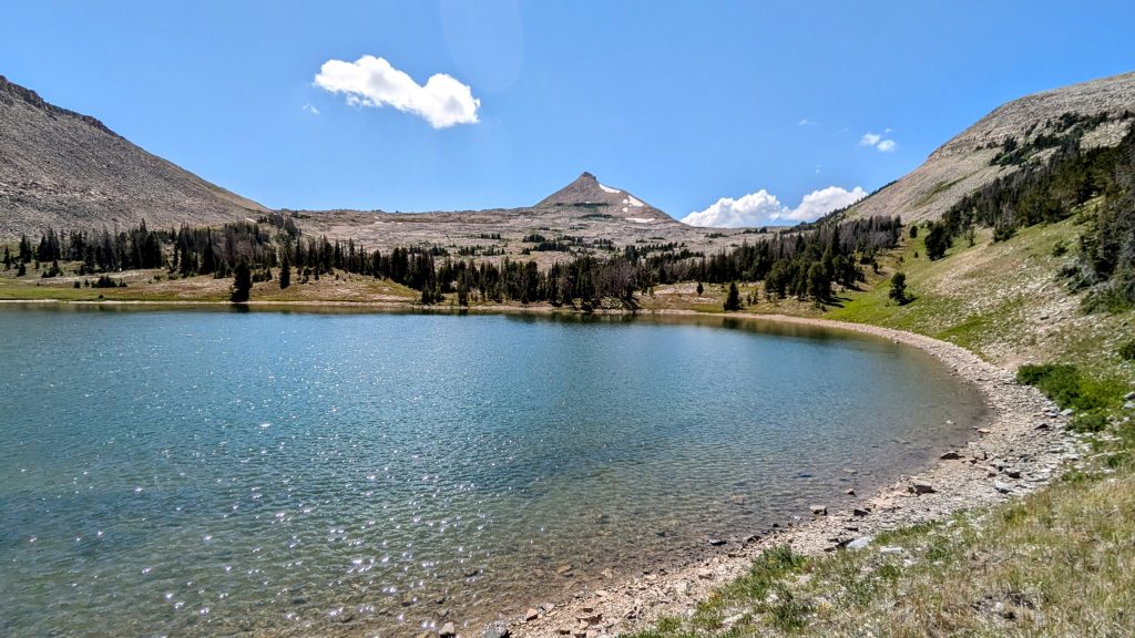
We took refuge and a well-deserved late-lunch break under some trees near the lake. I watched a family of spotted sandpipers catch flies along the shore, the chicks so small they looked like peanuts. I also went for a short dip, though I didn’t feel much of a need to. We thought about spending the night there, but deiced to make more miles and continue down the valley. We didn’t encounter a trail until another 2 miles past the lake. It was clear that not many people traveled this valley. We walked until we came to a large stream crossing and the beginnings of a 2-track road. There were some nice tentsites among the trees. What an incredible day.
Gros Ventre Day 3, Road walk out to Green River/Union Pass rd intersection, 10 miles, hitch into Pinedale. We continued down the road but had to take a slight detour to avoid a parcel of private property. There was an easement on the south side, but where we rejoined the main road, there were many ‘no trespassing’ signs posted. It wasn’t very apparent where the easement left the road, so I could see why not many people made it past this point. If I’d been going the opposite direction, I might have been deterred by all the signs.
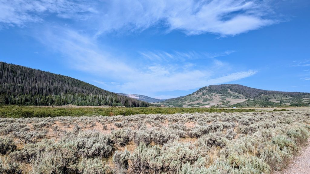
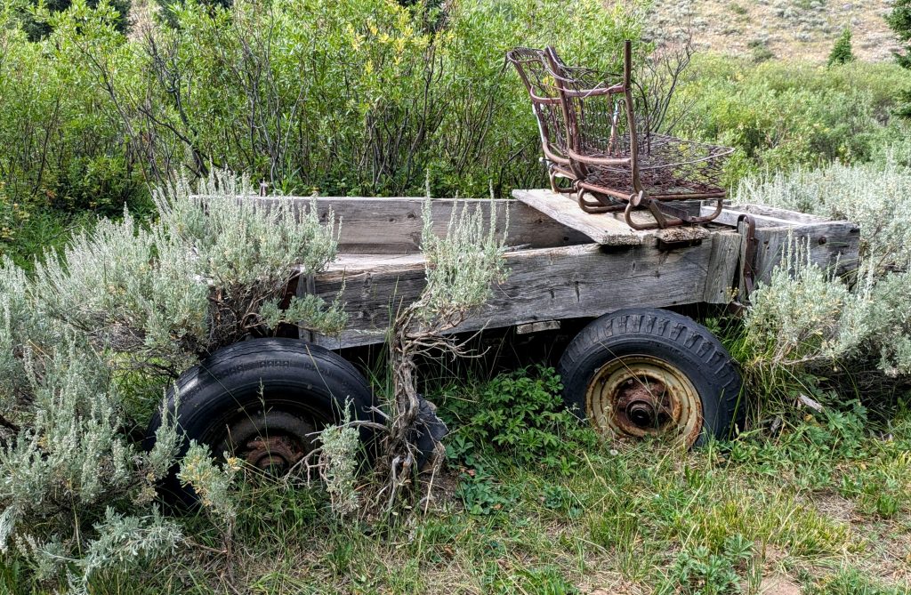
We broke out into the wide open valley where the Green River begins its journey south and joined Union Pass FR 600. The high ridges of the Gros Ventre were no longer visible, with no hint of the incredible terrain that lies within. We were shortly passed by a vehicle and to his credit, the guy stopped to ask if we were ok. We would have loved a ride down the hot, dusty road, but he didn’t have room inside the cab. He suggested that we could hang onto the back of his camper but we decided that was a bit too sketch. So we walked the road for hours while no other vehicles passed us going our way. Oh well. Our plan was to get to the main road heading to the Green River campground, hitch to the campground, and hang out there for a day. We still needed to kill a few days before starting the WRHR with Woody and Alex. But we stood at the intersection for over an hour, with hardly any vehicles going towards the campground. They were all going the other way towards Pinedale. Finally we gave up and easily got a ride into Pinedale from some nice fishermen.
It was a good thing we went into town after all, because we shortly learned that the weather forecast wasn’t looking good later in the week and Woody had decided to hold off. Days later, Alex encountered a bunch of delays and cancelled flights, such that the airline lost his bags…twice! So he wouldn’t have been able to join us either. We changed our plans, yet again, to do a quick turn-around in town and hit the trail the next day. We camped overnight in a park the town set aside for backpackers and bikepackers…what a friendly trail town Pinedale is! I love it.
In all, we hiked about 35 miles through this section. The Gros Ventre Wilderness wasn’t even on my radar, but it blew my mind. It started as just a way to kill some time and make our way towards the Winds, so we had no idea what we were getting into. I’m enchanted with the Gros Ventre and can’t wait to go back for more someday.
