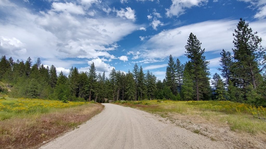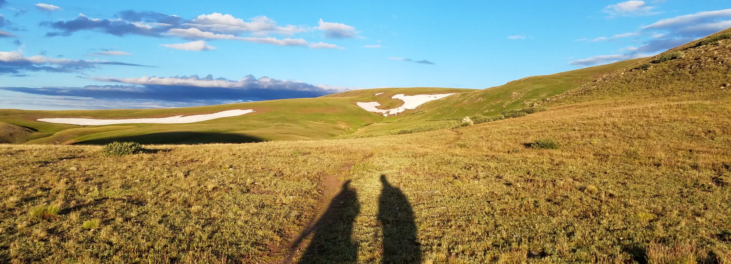
Friday July 8th, 2022, 0650-1915
Rock slab camp to Churchill Mine Rd, WEBO mm 423.3, Segment 4 Kettle Range
27.8 miles, Gain 3720′, Loss 5285′, elevation 2230
It got a little breezy after dark, such that I had to get up to reset a stake. I couldn’t get them in very far, seeing as how I was camped on a thin layer of soil on top a rock. I woke to a lot of condensation, even though the breeze was ventilating my tent very well. The air was just so laden with moisture and the dead trees did nothing to soak it up. I waited until kind of late to pack, letting the sun hit the tent for a bit. It was up before 6 am, after all.
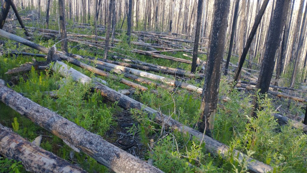
No wonder I was dragging my feet. I must have sensed the first couple of miles would suck. I was so glad I hadn’t tried to push onto the bridge the night before. I would have ended on some of the toughest miles of trail yet. It was just very thick with blowdowns. For a spell, I couldn’t walk more than 30 seconds without having to negotiate a tree or 2 or 5 in my way. None of the individual trees were very big but some of the piles added up. Over, under or around? And if over, is it a simple step over or the type where I have to get one or both feet on the tree? That’s always dangerous if the log is wet and slick. What if it shifts? That’s just a bit of the mental calculus but there’s also the extra sheer physical effort involved.
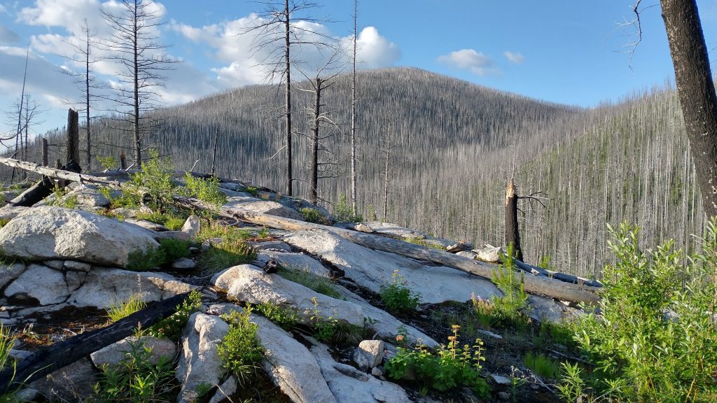
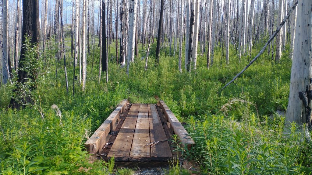
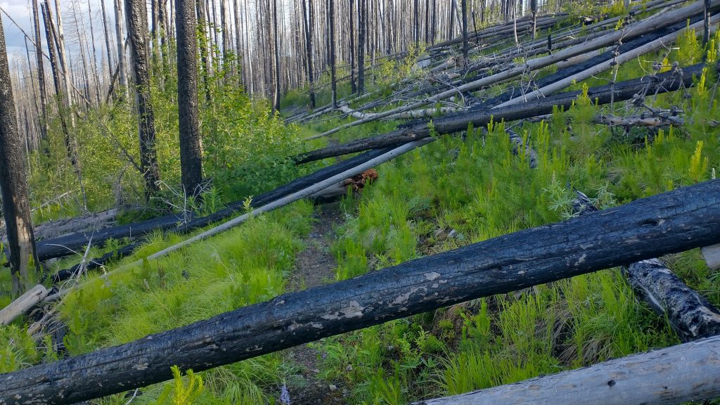
Those 2 miles went on forever. Just after the bridge to nowhere (it looked like the path directly beyond disappeared into the overgrowth…which it did), there was an old road intersection. My map indicated that I could parallel the trail on this old road, which was just a trail at that point. I needed a break from the blowdowns. There were still plenty for the first mile of the road bed, but at least it was wide enough to go around most of them easily. Then miraculously, the road was cleared of blowdowns and then turned into an actual road for the next mile and a half. It was so nice to be in the clear, with views down into the valley.
I came to a highway crossing at Deer Creek campground and was able to use one of the nice privies. I saw about five tents set up at the campground, with a large kitchen tent, looking like it all belong to a trail crew. No one was around so I figured they must be working on the Kettle Crest Trail, departing from the highway, which I had bypassed. It would’ve been great to meet them. I took a short break to wring out my socks. My shoes were soaked from walking through all the overgrown trail. This proved to be pointless, since there were miles of more overgrown trail to come. It took until 11 am to get 10 miles done.
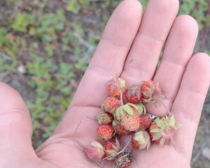
At least the remaining “bushwhack” sections were all old roads and actually easier than the “maintained” trail. There were still blowdowns to climb, thick stands of alders to push through, and waist-high thickets of lupine, fireweed, and other wildflowers to try to avoid trampling. I was briefly distracted from my whacking by ripe mountain strawberries all over the ground. Sometimes I do stop to pick the berries.
The unmaintained roads were easy to follow and wide enough to get around obstacles. Still, I was relieved to come to a maintained forest service road to finish off the day. Well, always be careful what you wish for because now I had almost 40 miles of road walking to get to the next town, Northport. At one of the last blowdowns, I found a green jacket laying on the ground. I was fairly certain it belonged to one of the 4 hikers ahead of me so I hoped to catch up with them by Northport. I knew they’d been a day and a half ahead of me when I first left Republic, so I had my work cut out for me.
I set a pretty fast pace downhill all afternoon to the Kettle River. I really wanted to go for a swim. It was 5 pm and very hot. I had an uphill drag to get out of the valley, so cooling off and rinsing my clothes would be clutch. There were private property signs all along the sides of the bridge but finally I found a spot that seemed legit. It was a steep trail down but worth it. Some people pulled up in a car, watched me go down, but still were pacing back and forth trying to figure things out… eventually they gave up and drove off. I went for a swim and relaxed in the shade. The water was cold and refreshing.
I continued on for several more hours until I came to forest service land = free camping. A sign warned of free ranging stock and boy were there. I followed a cow trail up a hill to find a nice flat spot, out of view of the road. I worried that it was too close to the cows, probably a part of their highway system, but it was pretty bug free and quiet, so I took my chances. I’m not afraid to camp with the cows, I just don’t want to get run over by them in the middle of the night. I always worry that they won’t see my camo tent in the dark…they really can be kind of dumb. Damn cows, they’ve really been my hiking nemesis more than any other animal but sometimes I guess it’s nice to have any company at all, even if it’s a cow.