Wednesday, Feb 26th 2025, 0540-1740
Whipple Wash to HWY 95 mm3, Section 6A
24 miles.
The wind started blowing pretty hard in the middle of the night, flapping my tent annoyingly. I woke up early and couldn’t get back to sleep, so I just started packing. Even though the time had changed by 1 hour, I was still waking up just before dawn…that just so happened to be before 5 am now. I needed all the time I could get this day, as I knew it would be a long and hard one. I would be climbing to a ridge, navigating the high country for something like 8 miles, all cross country. It also involved a gain of over 2k’. I’d climbed so much in the canyon already, it was hard to imagine that much more to go. But I guess I’d started from only around 450′ in Parker….the lowest point on the whole route.
After the big climb through the mountains, I still had around 15 miles to go to get to HWY 95. I hadn’t really planned to go that far, but viewing my water situation, I either needed to ration some during the day or commit to making it to my second cache. I’d see how the first part over the ridge went. Brett and Nate had both said how section 6 was the hardest. Not only was it the longest, it was also the most remote, had the most cross country stints, and had the least amount of water. In fact, as Brett relayed, only one other hiker this season had made it all the way through the entire section, and that was the other solo woman, Sketchy. I was viewing today and the next as the literal and proverbial humps that I had to get over. Of course, I planned to be the 2nd hiker to make it all the way through section 6. Only 4 mountain ranges stood in my way. It was time to make it through the 1st.
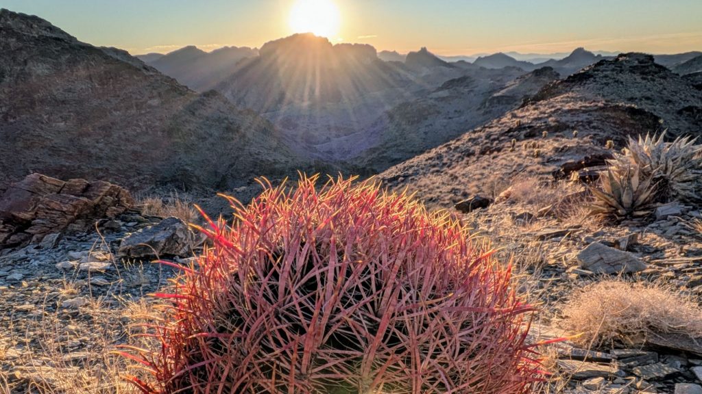
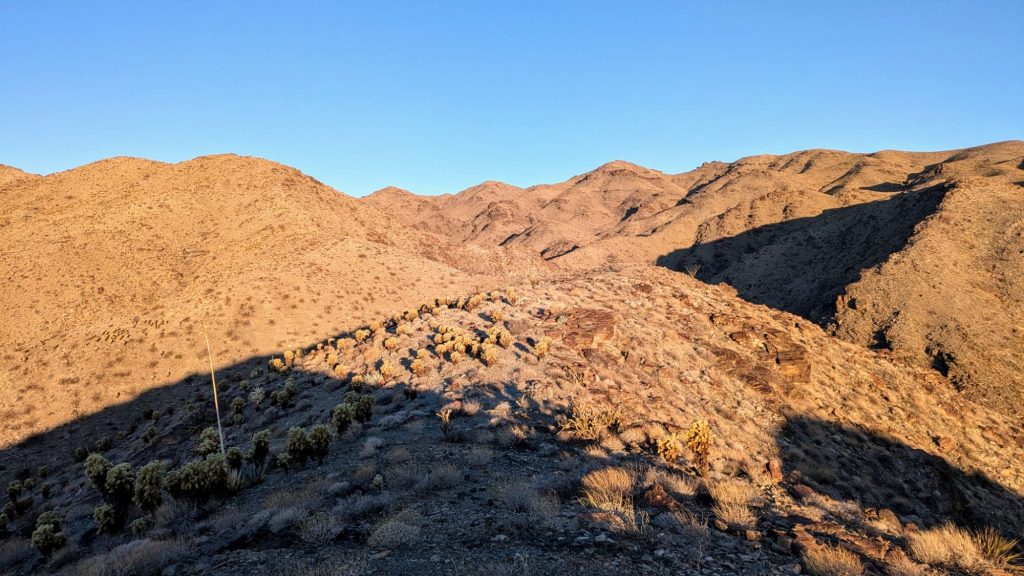
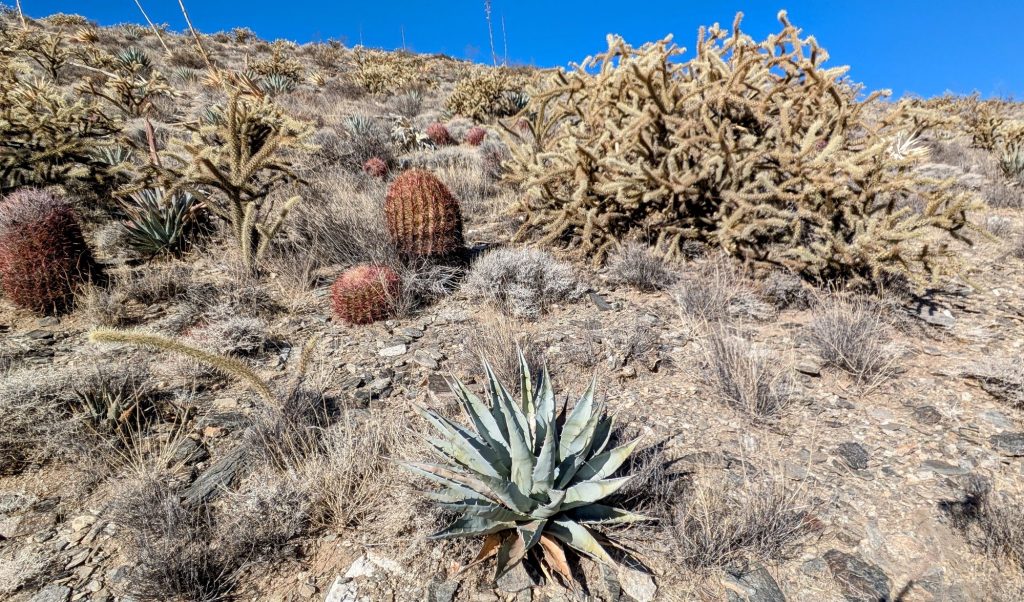
After a mile warm-up, I left the wash to begin a steep climb to a ridge, followed by numerous steep climbs to little peaks along the ridge. There is no such thing as a flat ridge line in these mountains, not for very long anyway. There were a few small game trails to follow, but not many that were helpful. The burros didn’t seem to venture up this high very often. Also, there was so much teddy bear cholla. I got more cholla balls stuck in my calves this day than all the rest of the hike combined. There were also many other spiky friends such as California barrel Cactus, century plants, and other various cholla varieties. I got poked by century plants on more than one occasion, and boy did they hurt! It was like walking through a minefield all morning.
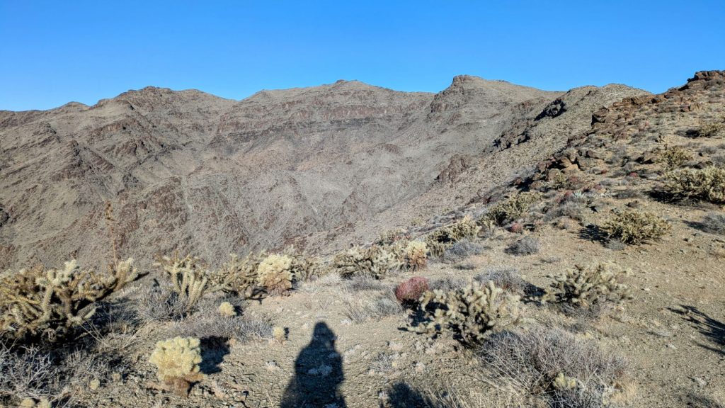
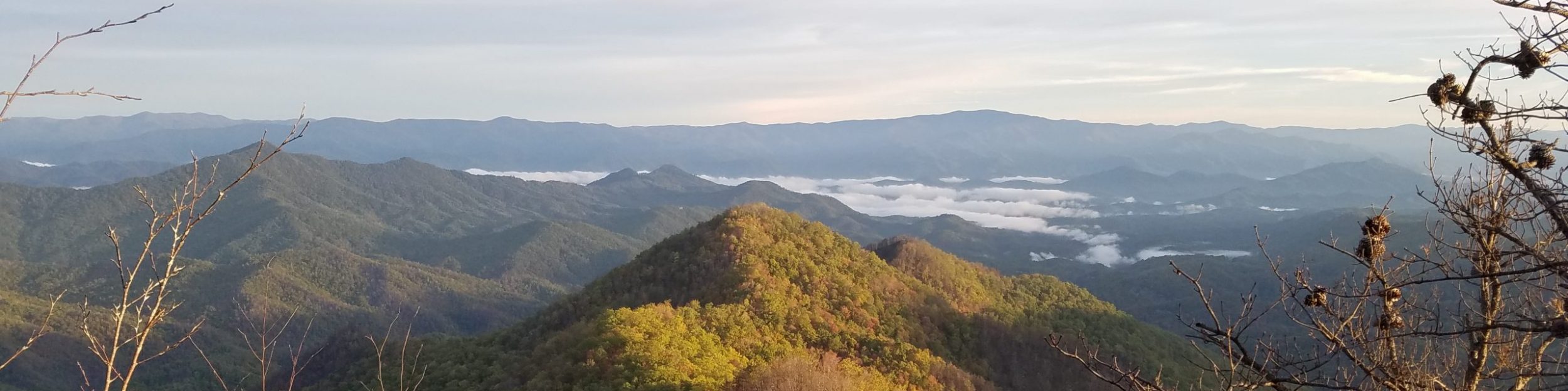
Oh and the wind! It was strong in the morning and only got worse as I went along. Of course it was mostly a headwind and it nearly blew me off my feet several times. It was just another thing to have to battle, and I was used to windy ridgelines by now. For a while, I could see the peak that I was heading for, but it never seemed to be getting closer. For the last bit, I had to drop off the ridge and come around from the back side to avoid a cliffy area. Finally I reached the 4,131′ summit around 9 am. Not bad, considering! It felt a lot higher than just 4k’. As hoped for, I could see all the way back to Harquahala Mountain. So this made for my 3rd point connecting the dots all the way back to my starting point near Mt Lemmon.

Looking ahead, I wasn’t yet sure about all the peaks I’d be passing along the route. But my Peakfinder did point out San Gorgonio and San Jacinto. Unfortunately, they were both behind a nearby ridge and it was too hazy to make them out distinctively. I couldn’t wait for the day that I could finally see them (even though I’d already had a sneak peek when I was putting out my caches).
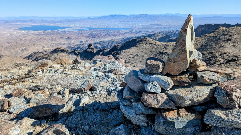
There was actually a registry on top of the peak and it was cool to see all the other DWTH names signed in. They were mostly people I knew, if not in person, at least through social media. There were also a few hikers that had done the Mojave-Sonoran desert trail, invented by Eric Poulin at @seekinglost, including Eric himself. MEGAman had just come through on that route, about a month before me. I met him when he was doing the Florida Trail. My hiking hero Buck30 was signed in twice, having done both routes. He also did this route a 2nd time in the past fall, but didn’t go through the Whipples because of the limited water situation.

I finally started down from the peak after a 40 minute break, knowing I needed to get some miles done. The descent was short and steep. I didn’t measure the stats, but it was something like a thousand feet a mile. At the bottom, I still needed to negotiate a pass over some smaller hills and a lot of wash walking and cross country. I thought it was funny that I kept stumbling across the same findings as Recon, as noted from his blog. I even found the same antler shed as he did, more than a year before me. This was during a long cross country piece, and I marveled about the chances of us following the same exact path. Even being off just a few feet, I would have missed it.
The day grew long as I started a series of road sections. The roads didn’t take the most direct path and it was frustrating being able to see hwy 95 from a distance but not getting there in an efficient manner. My other concern was the wind. The valley was completely exposed and the washes were small. It was going to be a loud and gusty night next to the highway. But I needed the water from my cache, so that was the driving factor.
I reached my cache just as the sun was setting. With the wind howling, it got cold really fast. I found a pocket in a small wash nearby and threw up my tent as fast as I could. The wash actually provided decent protection and I was glad for the extra time in the evening to go through my food and water provisions. I felt very proud and relieved to have made it through the Whipples, generally considered one of the hardest days on the route, especially given the shortage of water. And I now had plenty of water for the next stretch…or at least I hoped so! What a productive day!