Sunday, May 5th, 2024, 0715-1930
Lost Cove Camp to no name site, mm 103
27 miles, Gain: 5060′, Loss: 6400′, elevation 1650′
A thunderstorm hit around midnight but thankfully the bulk of it skirted me. I saw a lot of lightning as it approached but none hit nearby. Whew. In preparation, I got out to tighten all my lines and sink my stakes real good, but there was very little wind. The rain was moderate and all my stuff stayed dry, which is more than I could say for the shelter the night before. Go figure.
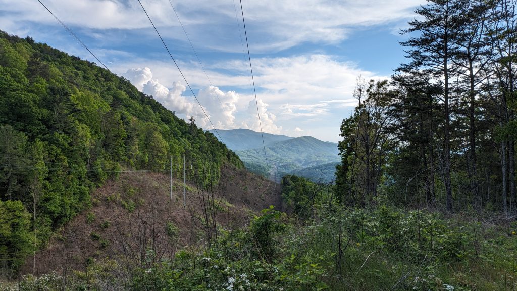
The morning held mist and the trees continued to weep for hours, but I could see blue skies at sunrise. A USFS campground was only 15 miles away, making for a good lunch destination, place to dry my tent and charge stuff, but first I had to go through a rough wilderness area and over 4k’ tall Frog Mountain. I was only 4 miles away from the GA and TN border. Bring on my 2nd state of the hike!
I passed over Hemp Top Mountain, which was unremarkable but lush. Then just as I entered TN and the Big Frog Wilderness, there was a very steep climb to Frog Mountain…1k’ in a mile. But it felt pretty easy in the morning and I was pleased to find a nice spring to collect water from right near the top. It even had a sign: Big Frog Spring, but I didn’t see any frogs, not even little ones. I’m sure they were around, as well as plenty of salamanders, but I didn’t bother to look hard. I took a short break there, then rounded the top of the 4200′ mountain, highest so far on the BMT. There was no view, mostly due to all the trees, but also some fog moved in again. I didn’t even stop before heading down, but then I heard a voice and a dog bark. I spied a guy heading from a side trail back to the main, but he seemed to be going the other way. The first and only hiker I’d seen in 2 days.
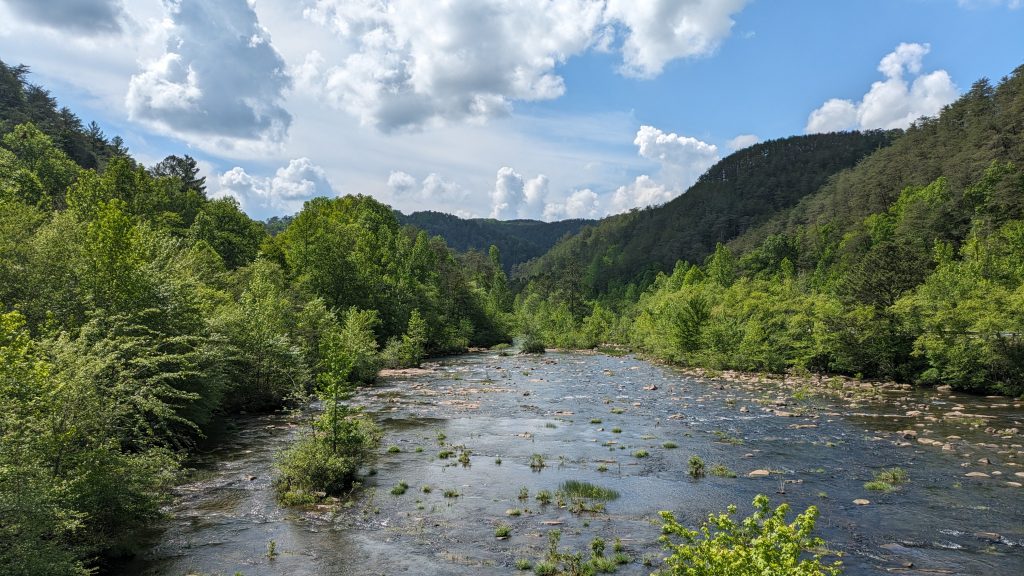
It was a long descent of about 3k’ and 10 miles, all the way down to the Ocoee River (formerly the Toccoa and my 3rd crossing of it this hike). On the last steep descent into the river gorge, there were several sets of wooden stairs. They were slimy and sure enough, my foot slipped on one of them and I went down hard. I landed on my butt and left elbow, which thankfully was the only part that remained sore for days. I was lucky, as it could have been a lot worse. I felt my trekking poles bend significantly, but they didn’t break. All the rocks, wood bridges and stairs were very slippery, so I kept having to remind myself to be extra careful. Only an hour later, I got a text from Mando saying that he had to abandon his hike, after he too fell on some stairs and injured his pelvis. I was very sad to hear this. I was really looking forward to running into him again, midway through the hike. Now I wasn’t sure if I’d see another hiker at all.
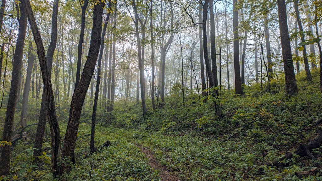
After my fall, I needed a long rest break at the Thunder Rock campground, utilizing the bathrooms and picnic tables. There was a sign noting that the facilities were only for overnight campers, so I hope they didn’t mind my day visit. I figured as long as I wasn’t taking up someone’s reserved space or making a mess, no problem. I think my veteran’s NP pass also qualified me for free camping there, at lest according to another sign I read. The sun was out and the day was pretty warm. I guess I could have gone for a swim in the river but it was easier just to wet my clothes using a faucet. I carried on, passing the TVA power station along the river, crossing the bridge and highway, and heading up into the Little Frog Wilderness. Notes warned of a lot of terrible blowdowns. There were certainly a few but none that slowed me down much. My blowdown tolerance was forever changed by the PNT…unless they started to approach the 500 to 1k mark in day, they barely registered. Plus, most of the trees on the east coast are pretty small and easy to step over.
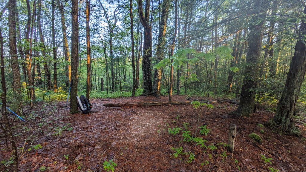
The afternoon began to drag on and I was still finding that the distances were off. Since I began tracking my session from the Ocoee river bridge, Far Out put me at 9 miles but my GPS watch said 13.5 miles. In the late afternoon, I passed the 100 mile marker of the trail, but I felt like I’d gone at least 110 miles given all the discrepancies. The trail meandered a bit along some ridges, then descended steeply into Piney Flats Branch. There were many dead trees and what almost looked like where a tornado had touched down in this valley. I passed on a campsite next to the creek, since there were so many dead trees and it felt claustrophobic. I regretted not stopping earlier to set up almost directly on the trail where it followed some flat and wide old road beds. In the end, that’s exactly what I did further on. It was a pretty poor campsite but it was getting dark and I was tired. I heard a whippoorwill as I was drifting off.